Posted:
Jan 31, 2017 @ 6:15 am

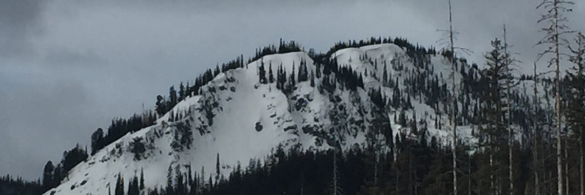
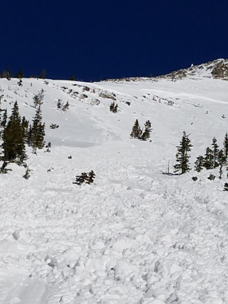
The current avalanche danger is MODERATE on wind loaded terrain for the West Central Montana Backcountry. Human triggered avalanches will be possible in specific areas and careful assessment will be required to identify areas of concern. On other terrain in the advisory area the avalanche danger is LOW. Conditions will be dynamic today and as more snow falls, continual evaluation of the snowpack will be essential to recreate safely.

Good morning, this is Logan King with the West Central Montana Avalanche Center’s avalanche advisory for Tuesday, January 31, 2017.  This danger rating does not apply to operating ski areas, expires at midnight tonight and is the sole responsibility of the U.S. Forest Service.

Weather and Snowpack

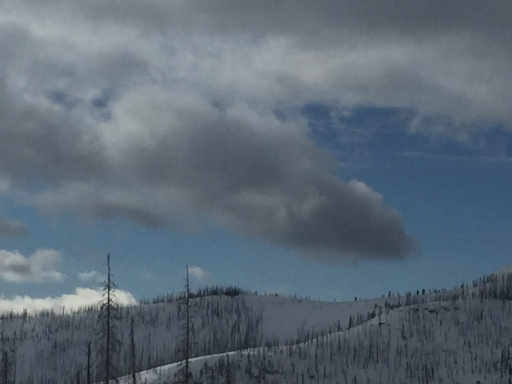
Snowfall and more mild temperatures have returned to the region overnight. So far across the advisory area 1-3 inches of snow have accumulated with more expected for the next 24 hours. The new snow has only added .1-.2 inches of snow water so far. The strong westerly winds have eased slightly this morning and are currently 11 gusting to 17 mph out of the NW at Point 6, and 7 gusting to 11 mph from the SSW at Deer Mountain.

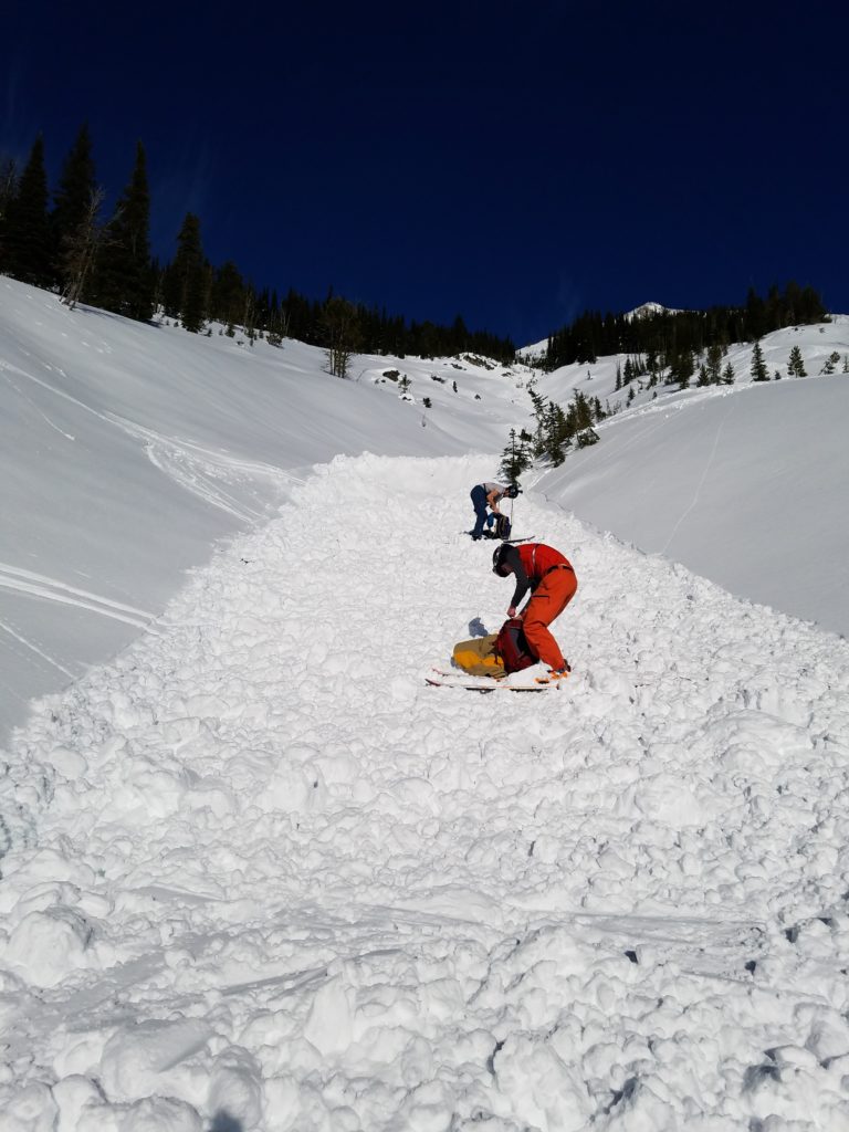
The primary avalanche concern today will be windslabs. We had a number of public observations over the last couple of days from in and around the advisory area pointing to windslab concerns. Windslabs have had some time to settle the last few days but now that there is more snow for transport windslab growth will ramp back up and time will be needed for the snow to adjust to the developing windslabs.

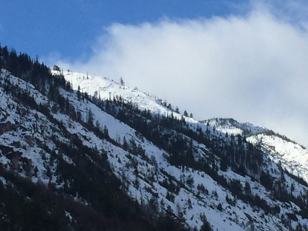
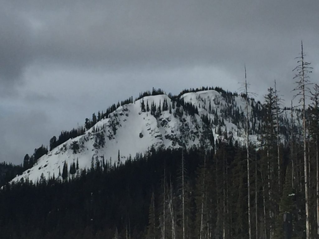
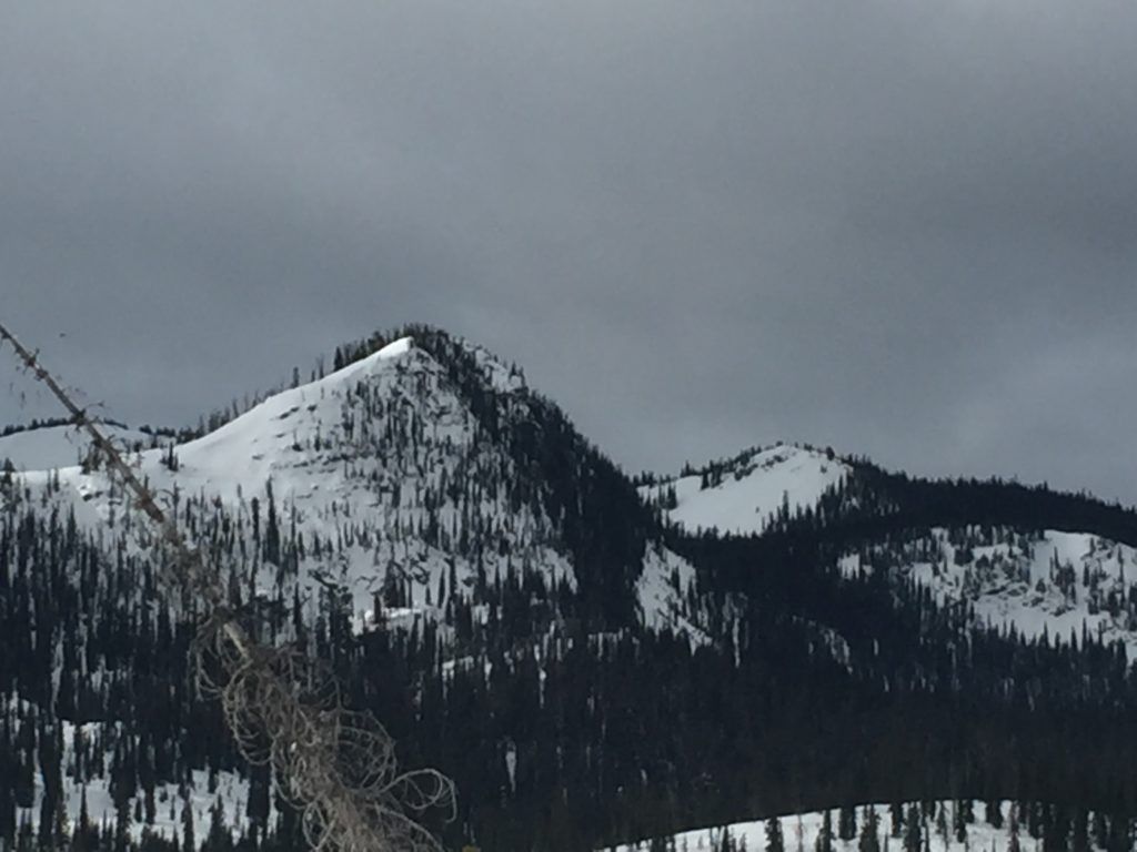
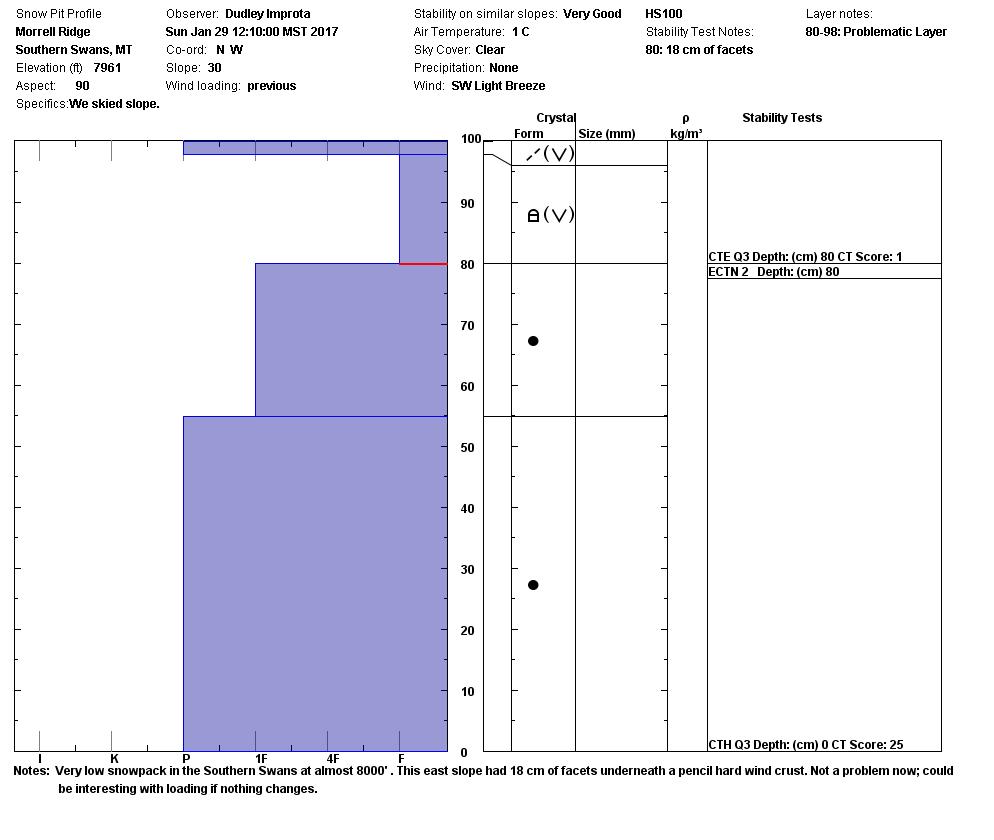
Persistent slabs will be the secondary avalanche concerns today. There has been widespread surface hoar growth over the last week and a half. With snow falling on surface hoar and near surface facets not far below in the snowpack, persistent slabs will be sensitive to triggers today. With such widespread surface hoar growth take the time today to dig and look at the snow to see what is underneath before deciding where to recreate. Facets deeper in the snowpack will also have potential to be reactive in shallow areas as they are stressed by a new load. Carefully evaluate terrain for features that will make the persistent weak layers a greater concern, such as shallow or rocky areas.

Loose snow will be the final concern today. Small sluffs or loose snow avalanches are mainly concerns for areas that have terrain traps that increase the consequences of getting caught. As more snow accumulates so will the size of the loose snow avalanches.


Avalanche and Weather Outlook

The weather pattern has finally shifted and snow is expected to continue through tonight. The models suggest up to a foot of mountain snow by tomorrow morning. With significant snow in the forecast avalanche conditions look to increase today. As the snow totals increase so will the possibility of avalanches. Continually monitor conditions as they change throughout the day today.

If you are out in the backcountry, please feel free to share your observations on our public observations page, they are a great resource and are very helpful in producing the advisory.  I will issue the next advisory on Thursday, February , 2017.

Ski and ride safe.

READ FULL ADVISORY  

Problem 1 - Windslabs

  • TYPE

    wind-slabs

    Wind Slabs

    Release of a cohesive layer of snow (a slab) formed by the wind.  Wind typically erodes snow from the upwind sides of terrain features and deposits snow on the downwind side.  Wind slabs are often smooth and rounded and sometimes sound hollow, and can range from soft to hard. Wind slabs that form over a persistent weak layer (surface hoar, depth hoar, or near-surface facets) may be termed Persistent Slabs or may develop into Persistent Slabs.

  • SIZE

    3-4

    1-2 (Small-Large)

    The potential size of avalanche resulting from this problem.

  • LIKELIHOOD

    Likelihood-3

    Possible

    The likelihood of an avalanche resulting from this problem.

  • IMAGE

Small to large windslabs have been found to be reactive over the last few days in and around the advisory area.

Problem 2 - Persistent Slabs

  • TYPE

    persistent-slabs

    Persistent Slabs

    Release of a cohesive layer of soft to hard snow (a slab) in the middle to upper snowpack, when the bond to an underlying persistent weak layer breaks.  Persistent layers include: surface hoar, depth hoar, near-surface facets, or faceted snow. Persistent weak layers can continue to produce avalanches for days, weeks or even months, making them especially dangerous and tricky. As additional snow and wind events build a thicker slab on top of the persistent weak layer, this avalanche problem may develop into a Persistent, Deep-Slab.

  • SIZE

    3-4

    1-2 (Small-Large)

    The potential size of avalanche resulting from this problem.

  • LIKELIHOOD

    Likelihood-2

    Unlikely/Possible

    The likelihood of an avalanche resulting from this problem.

Persistent weak layers have been intermittently reactive in stability tests. They will be the greatest concern where there is shallow snow or a well defined slab above facets.

Problem 3 - Loose Dry

  • TYPE

    loose-dry

    Loose Dry

    Release of wet unconsolidated snow or slush. These avalanches typically occur within layers of wet snow near the surface of the snowpack, but they may quickly gouge into lower snowpack layers. Like Loose-Dry Avalanches,they start at a point and entrain snow as they move downhill, forming a fan-shaped avalanche. They generally move slowly, but can contain enough mass to cause significant damage to trees, cars or buildings. Other names for loose-wet avalanches include point-release avalanches or sluffs. Loose-wet avalanches can trigger slab avalanches that break into deeper snow layers.

  • SIZE

    1-2

    < 1 (Small)

    The potential size of avalanche resulting from this problem.

  • LIKELIHOOD

    Likelihood-4

    Possible/Likely

    The likelihood of an avalanche resulting from this problem.

Loose dry sluffs will be expected in the soft surface layers.

FORECAST & OUTLOOK

  • Danger Trend

    increasing

    Increasing Danger

  • Area Forecast

    Snow

Light to moderate snow will continue through tonight and taper off by wednesday morning. A more active weather pattern looks to set up again for this weekend.

This information is the sole responsibility of the Forest Service and does not apply to operating ski areas. The avalanche danger rating expires at midnight tonight but the information can help you make a more informed decision regarding travel in avalanche terrain for the next few days.

Our advisory area includes National Forest System lands in the Bitterroot Mountains from Lost Trail Pass north to Granite Pass, the Rattlesnake Mountains north of Missoula and the Southern Swan and Mission Mountains near Seeley Lake, MT. Avalanche information for the Lookout Pass/St. Regis Basin area is available from the Idaho Panhandle Avalanche Center.