
The current avalanche danger is HIGH on wind loaded slopes for the west central Montana backcountry. The danger is considerable on all other slopes in the advisory area. Avoid all wind loaded terrain. Careful snowpack evaluation, cautious route-finding, and conservative decision-making are essential today. Human triggered avalanches are likely.
Good morning, this is Travis Craft with the West Central Montana Avalanche Center’s avalanche advisory for February 04, 2017. This danger rating does not apply to operating ski areas, expires at midnight tonight and is the sole responsibility of the U.S. Forest Service.
Weather and Snowpack
Mountain temperatures range from 23 F to 33 F in the region. Winds are 9 mph with gusts of 24 mph out of the WSW in the Bitterroot. Point Six, in the northern part of the advisory area, winds are reading 20 mph with gusts of 37 mph out of the W. The region has picked up several new inches of heavy wet snow in the last 24 hours. The new snow had SWE’s ranging from .3 to 1.4 inches of water.
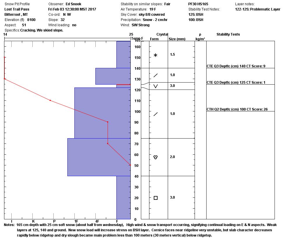
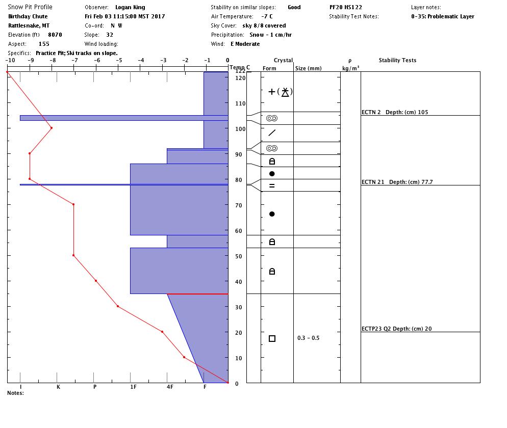
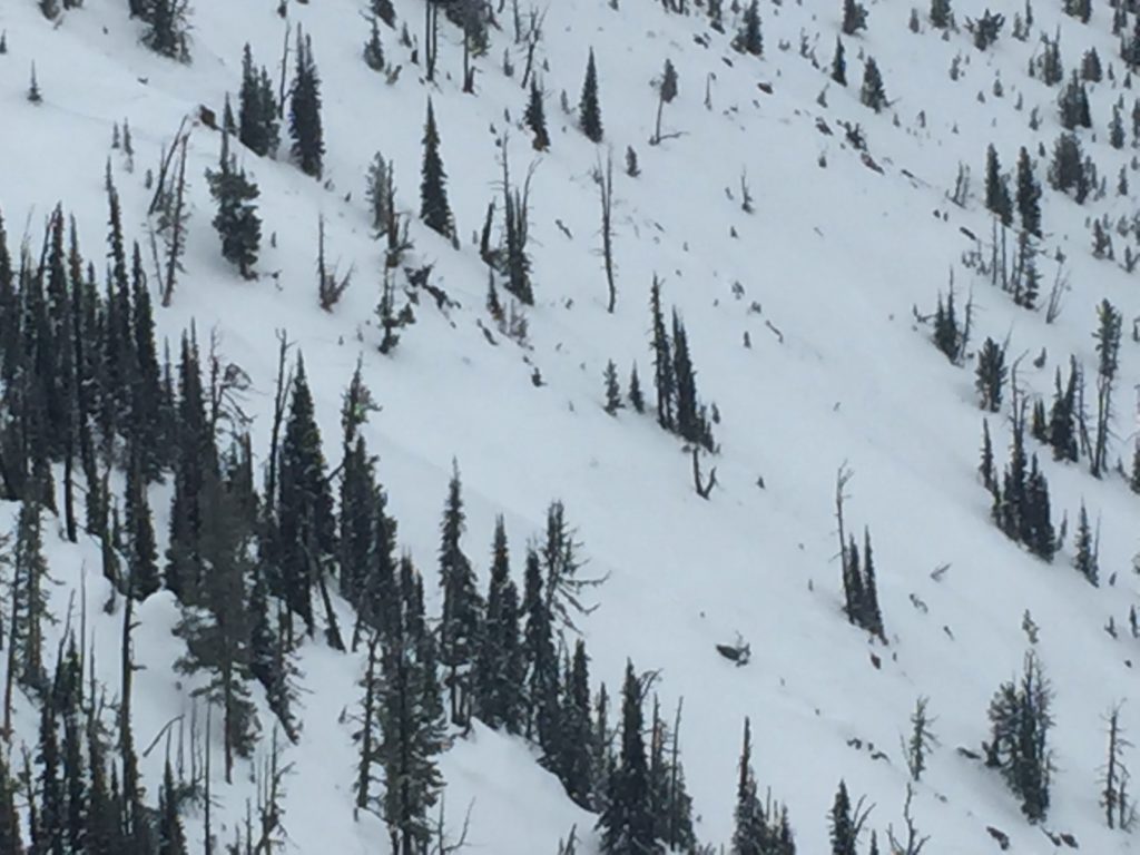
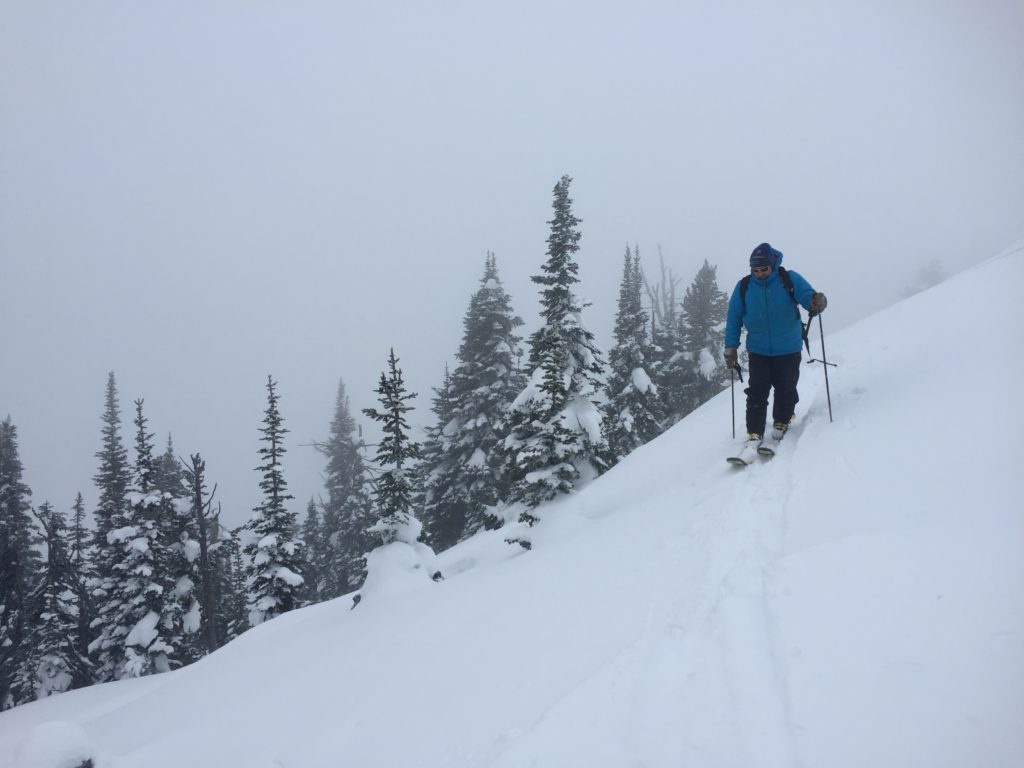
Logan and I toured in the Rattlesnake yesterday. We chose to go to the Rattlesnake because the snowpack structure is the weakest in the advisory area. We were able to get the basal facets to propagate in ECT’s. Ed was in the southern Bitterroot; his two main concerns were wind slabs and layers of buried surface hoar. John Lehrman from Downing Mountain Lodge in the central Bitterroot sent observations of new loading and wind slab development between 6000 ft and 7000 ft.
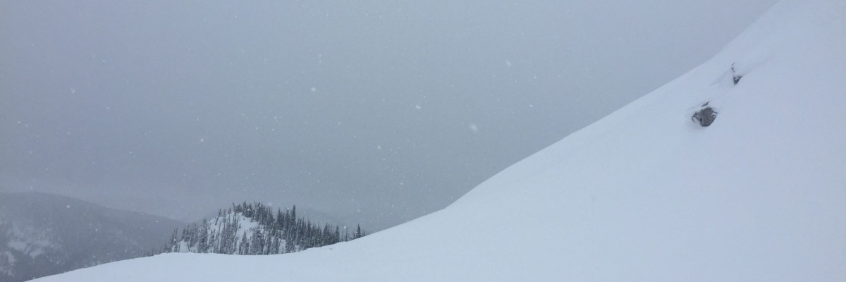
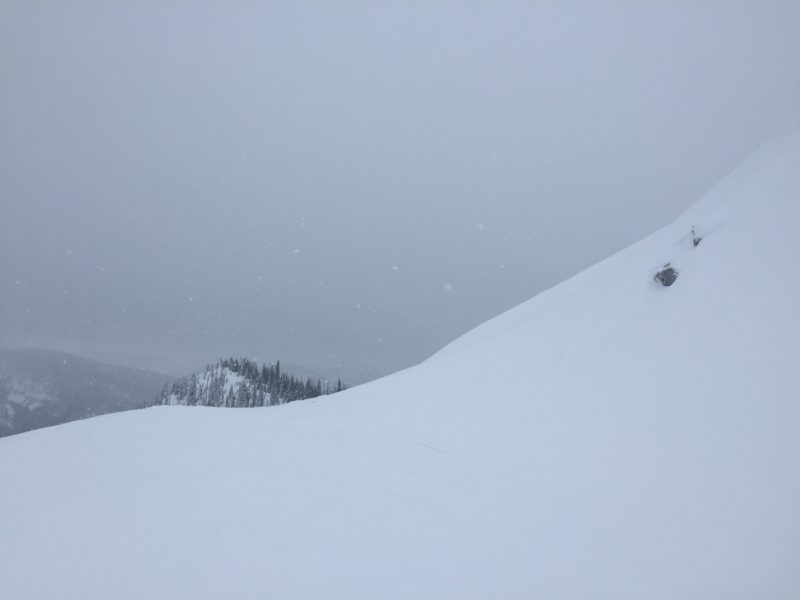
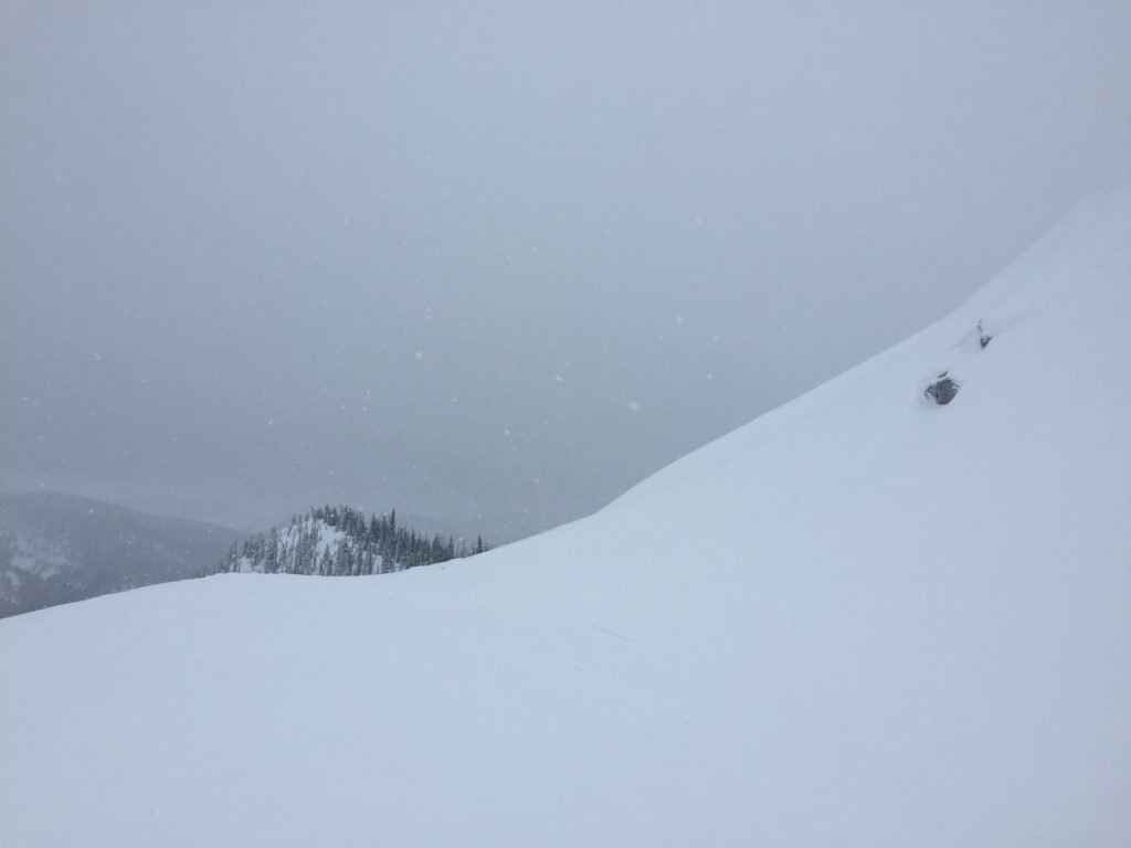
The primary avalanche problem is wind slabs. The winds are transporting the new snow and loading leeward slopes(video). We observed some slopes that were cross-loaded yesterday in the Rattlesnake. Ed found ridges to have significant wind slabs on them. Identify wind loaded terrain and avoid traveling on these slopes today.
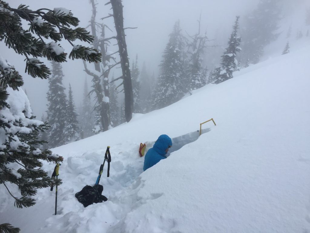
The second avalanche concern is persistent slabs. There are multiple weak layers in our snowpacks. The basal facets propagated yesterday in the Rattlesnake. With the new load of snow, Ed identified layers of buried surface hoar which could become reactive today. Dig a pit today to assess any weak layers before committing to avalanche terrain. Pay attention to any bullseye data (shooting cracks, collapse noises, and any recent avalanche activity). These are clear signs of instability in our snowpack.
The final avalanche problem today is storm slabs. The new heavy wet snow will take time to bond to the snow surfaces.
Avalanche and Weather Outlook
Snow levels should rise today with a maximum height of 4500 ft. Today there will be the additional loading of snow and high winds. The avalanche danger will increase with these conditions. Pay close attention to changing weather and snow conditions. Reassess travel plans regularly today. Avoid all wind loaded terrain. Dangerous avalanche conditions exist. Careful snowpack evaluation, cautious route-finding, and conservative decision-making are essential today.
If you are out in the backcountry, please send us your observations, these are very helpful in producing the advisory. I will issue the next advisory on February 07, 2017.
Ski and ride safe.


