
The avalanche warning has expired and the current avalanche danger is Considerable for the West Central Montana Backcountry. Human triggered avalanches are likely in specific areas, careful evaluation of avalanche conditions are necessary to recreate in the backcountry today.
Good morning, this is Logan King with the West Central Montana Avalanche Center’s avalanche advisory for Saturday, February 11, 2017. This danger rating does not apply to operating ski areas, expires at midnight tonight and is the sole responsibility of the U.S. Forest Service.
Weather and Snowpack
Precipitation has returned to dry snow and snow totals this morning range from a trace to 3 inches with SWE’s topping out at .2 inches of water. Since Wednesday the advisory area has seen 1.8-3.5 inches of SWE. At Deer Mountain the winds are currently 6mph gusting to 16mph from the WSW. Mountain temperatures this morning range from 19-25 degrees.
At elevations above freezing level, the main avalanche concerns will be wind slabs, storm slabs and persistent weak layers. Josh and Tim reported wind slabs as a major concern in the Rattlesnake yesterday and we found a surprising amount of wind affected snow near Granite Pass. Winds were under reported/recorded during the storm making windslabs harder to characterize, so look carefully for signs of wind loading before recreating.
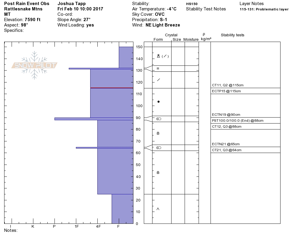
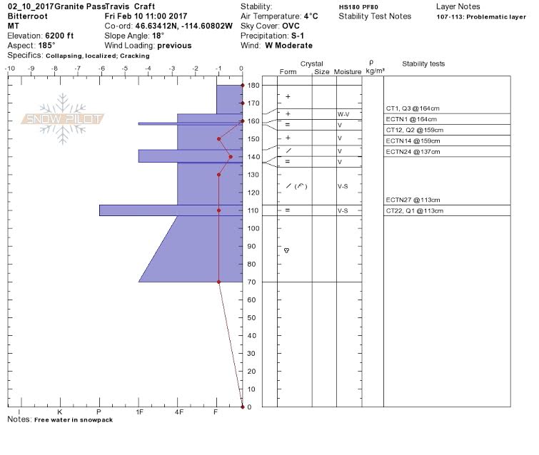
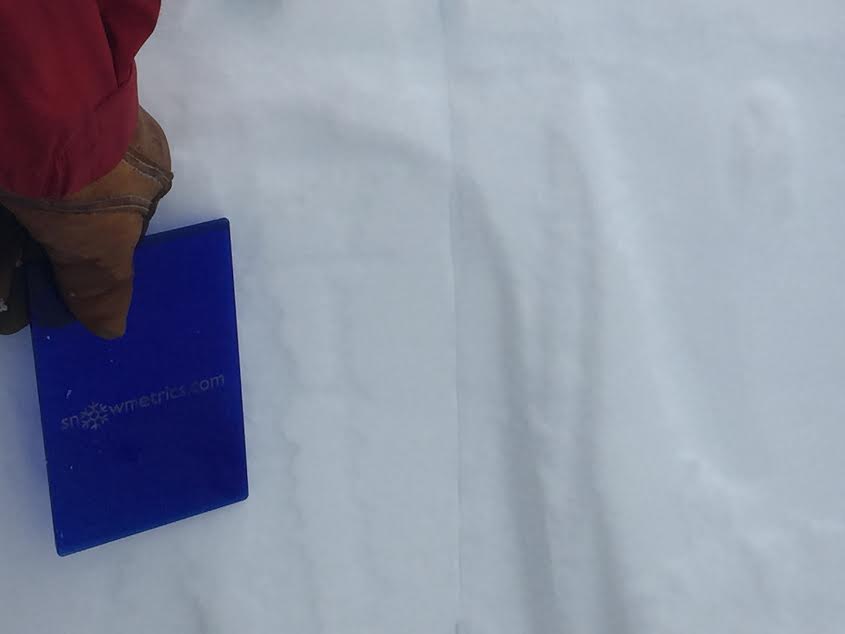
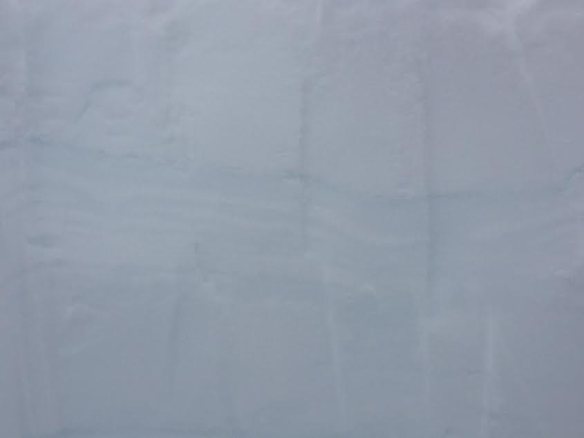
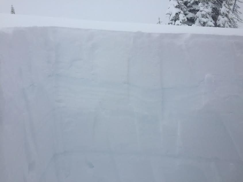
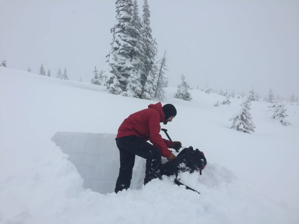
Tim and Josh found a density change in the storm snow to be reactive and propagate in stability test. We also found a number of density changes within the new snow to be suspect near Granite Pass. This problem will require some time for the layers to bond and settle down. Persistent weak layers were broken down a bit by the rain on snow event and are less prominent but propagation saw tests showed the persistent weak layers to be reactive under the heavy new load in the Rattlesnake. Take the time to dig to find these density changes and persistent weak layers when assessing the snowpack before committing to avalanche terrain.
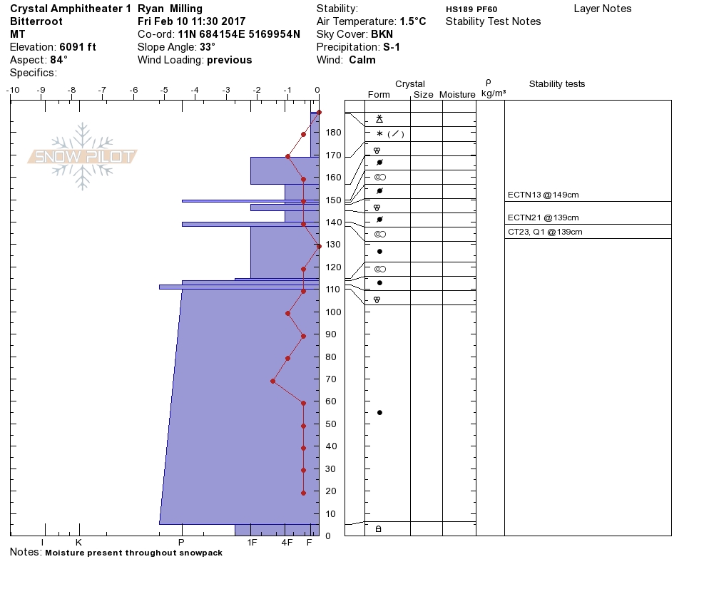
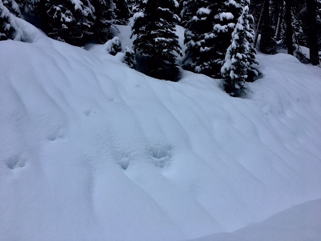
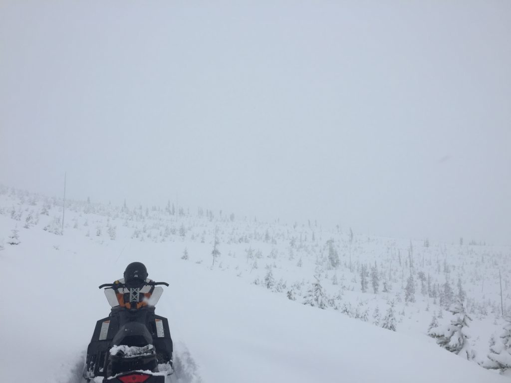
Yesterday Travis and I rode around near Granite Pass and found a very wet heavy load of new snow with clear signs of significant rain falling on the snowpack. Wet slab avalanches will be possible in any terrain where the snow did not freeze overnight. Be very careful at lower elevations as wet slabs are very difficult to predict and tend be large and very destructive. A human triggered wet slab was reported yesterday from just outside our advisory area.
Conditions will be touchy for the next day or two, careful snowpack evaluation, cautious route finding, and conservative decision making will be essential over the weekend as the weaknesses continue to settle out.
Avalanche and Weather Outlook
Light snow is expected off and on today with minimal accumulations before giving way to a high pressure system to start off next week. Avalanche danger will be decreasing as the snow has more time to adjust and settle. The next system looks to move in towards the end of next week and will be warm but doesn’t look to be as warm and wet as the last storm cycle.
If you are out in the backcountry, please feel free to share your observations on our public observations page, they are a great resource and are very helpful in producing the advisory. Travis will issue the next regular advisory on Tuesday, February 14 , 2017.
Ski and ride safe.


