Posted:
Feb 18, 2017 @ 6:17 am

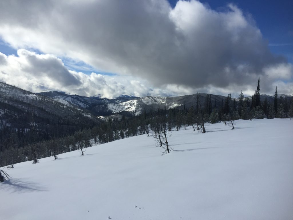
The current avalanche danger for the West Central Montana backcountry is moderate above 7,000ft. Avalanches are possible in specific terrain at upper elevations. Below 7,000ft the avalanche danger is LOW and human triggered avalanches will be isolated.

Good morning, this is Logan King with the West Central Montana Avalanche Center’s avalanche advisory for Saturday, February 18, 2017. This danger rating does not apply to operating ski areas, expires at midnight tonight and is the sole responsibility of the U.S. Forest Service.

Weather and Snowpack

Overnight temperatures dropped below freezing and mountain temperatures currently range from 28-31 degrees. Overnight snow was minimal and only a few snotels this morning are showing accumulations of about 1 inch of new snow. Currently ridge top winds at Point 6 are out of the ESE and are sustained at 11mph gusting to 18mph. Conditions are similar in the southern Bitterroot, the wind at Deer Mountain is sustained at 12mph gusting to 19mph from the SE.

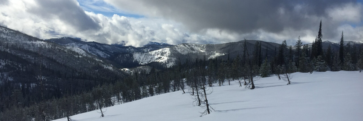
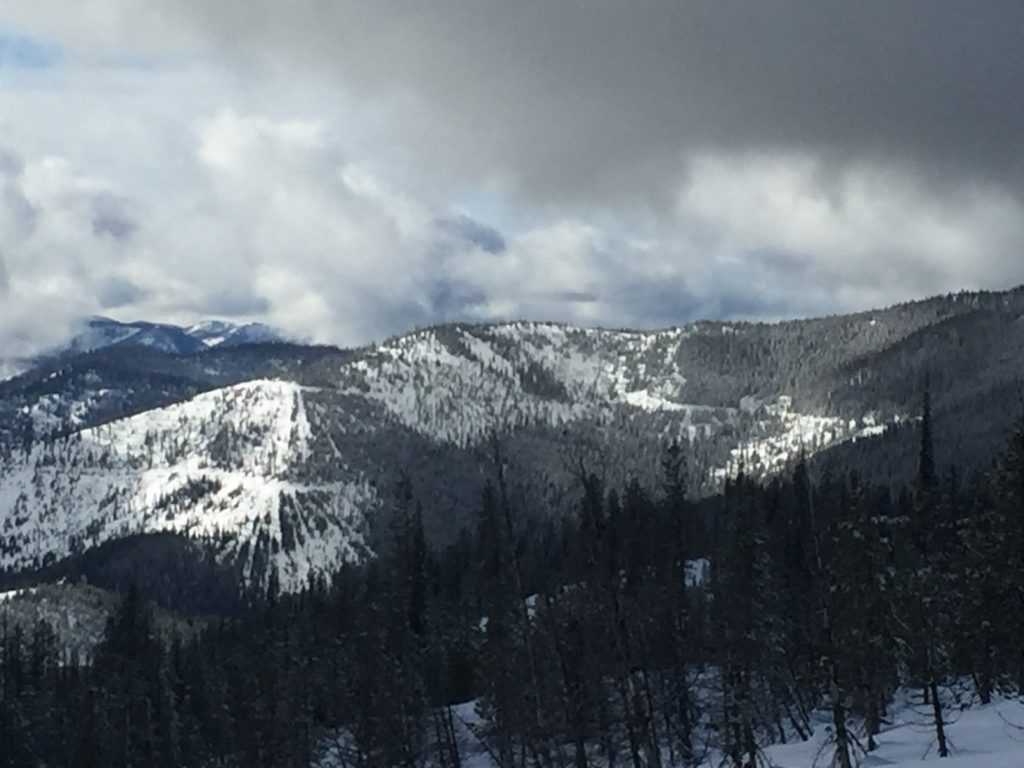
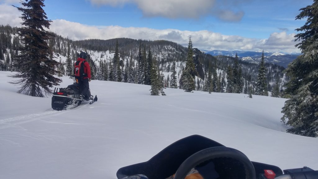
The primary avalanche concerns today will be persistent slabs and wind slabs above 7,000 feet. Near surface facets and buried surface hoar continue to be reactive in stability tests at upper elevations and in areas with a shallow snowpack. Persistent weak layers are reactive but isolated and therefore are hard to detect unless you dig in the snow. Take the time to dig and see if persistent weak layers are present and reactive while determining where to recreate.  Sustained moderate winds have been reported for the last 48 hours and observers in the Southern Bitterroot reported wind slabs as a notable concern and we found significant signs of wind transport while ridding to Granite Pass yesterday.

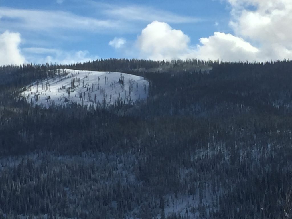
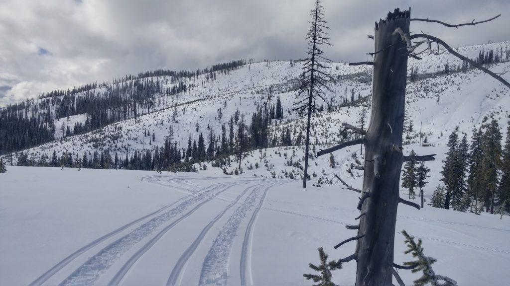
Wet loose snow avalanches will be a concern today as there is a fair amount of moisture in a relatively warm snow pack. It will not take long this morning or much solar radiation to start to affect the snow surface. Keep an eye out for roller balls and pin wheels and if the snow surfaces starts to look saturated move towards more shaded aspects especially if you chose to recreate in areas with terrain traps.

Avalanche and Weather Outlook

Avalanche conditions look to remain fairly consistent today other than the increase of loose wet activity later in the day. Several weak disturbances are expected through the start of next week bringing periods of light showers to the region.

If you are out in the backcountry, please send us your observations, these are very helpful in producing the advisory. I will issue the next advisory on Tuesday, February 21, 2017.

Ski and ride safe.

READ FULL ADVISORY  

Problem 1 - Persistent Slabs

  • TYPE

    persistent-slabs

    Persistent Slabs

    Release of a cohesive layer of soft to hard snow (a slab) in the middle to upper snowpack, when the bond to an underlying persistent weak layer breaks.  Persistent layers include: surface hoar, depth hoar, near-surface facets, or faceted snow. Persistent weak layers can continue to produce avalanches for days, weeks or even months, making them especially dangerous and tricky. As additional snow and wind events build a thicker slab on top of the persistent weak layer, this avalanche problem may develop into a Persistent, Deep-Slab.

  • SIZE

    3-4

    1-2 (Small-Large)

    The potential size of avalanche resulting from this problem.

  • LIKELIHOOD

    Likelihood-3

    Possible

    The likelihood of an avalanche resulting from this problem.

Near surface facets and buried surface hoar continue to be problematic above 7,000ft in specific areas.

Problem 2 - Wind Slabs

  • TYPE

    wind-slabs

    Wind Slabs

    Release of a cohesive layer of snow (a slab) formed by the wind.  Wind typically erodes snow from the upwind sides of terrain features and deposits snow on the downwind side.  Wind slabs are often smooth and rounded and sometimes sound hollow, and can range from soft to hard. Wind slabs that form over a persistent weak layer (surface hoar, depth hoar, or near-surface facets) may be termed Persistent Slabs or may develop into Persistent Slabs.

  • SIZE

    3-4

    1-2 (Small-Large)

    The potential size of avalanche resulting from this problem.

  • LIKELIHOOD

    Likelihood-3

    Possible

    The likelihood of an avalanche resulting from this problem.

Windslab development has been observed above 7,000ft, and are reactive to ski cuts with a melt freeze crust bed surface.

Problem 3 - Loose Wet

  • TYPE

    loose-wet

    Loose Wet

    Release of wet unconsolidated snow or slush. These avalanches typically occur within layers of wet snow near the surface of the snowpack, but they may quickly gouge into lower snowpack layers. Like Loose-Dry Avalanches,they start at a point and entrain snow as they move downhill, forming a fan-shaped avalanche. They generally move slowly, but can contain enough mass to cause significant damage to trees, cars or buildings. Other names for loose-wet avalanches include point-release avalanches or sluffs. Loose-wet avalanches can trigger slab avalanches that break into deeper snow layers.

  • SIZE

    1-2

    < 1 (Small)

    The potential size of avalanche resulting from this problem.

  • LIKELIHOOD

    Likelihood-5

    Likely

    The likelihood of an avalanche resulting from this problem.

Small loose wet avalanches will be likely by mid-day as the snow surface warms up.

VIDEO

FORECAST & OUTLOOK

  • Danger Trend

    same

    Same Danger

  • Area Forecast

    Showers

Light showers today will give way to broken waves of light snow for the next few days.

This information is the sole responsibility of the Forest Service and does not apply to operating ski areas. The avalanche danger rating expires at midnight tonight but the information can help you make a more informed decision regarding travel in avalanche terrain for the next few days.

Our advisory area includes National Forest System lands in the Bitterroot Mountains from Lost Trail Pass north to Granite Pass, the Rattlesnake Mountains north of Missoula and the Southern Swan and Mission Mountains near Seeley Lake, MT. Avalanche information for the Lookout Pass/St. Regis Basin area is available from the Idaho Panhandle Avalanche Center.