
The current avalanche danger in the West Central Montana Backcountry is Moderate. Heightened avalanche conditions exist on specific terrain features. There are three very distinct problems that are isolated to specific terrain. Carefully evaluate snow and terrain to identify features of concern.
Good morning, this is Logan King with the West Central Montana Avalanche Center’s avalanche advisory for March 14, 2017. This danger rating does not apply to operating ski areas, expires at midnight tonight and is the sole responsibility of the U.S. Forest Service.
Weather and Snowpack
This morning mountain temperatures are in the mid 30’s and snow line is between 6,500-7,500 feet across the advisory area. Rain through the night has been widespread across the region but has been more concentrated in the northern portion of the advisory area. The region received up to .6 inches of water so far. Winds this morning are out of the SW at Point 6 and are sustained at 10 mph and are gusting to 14 mph. At Deer Mountain the winds are 11 mph gusting to 18 mph from the S.
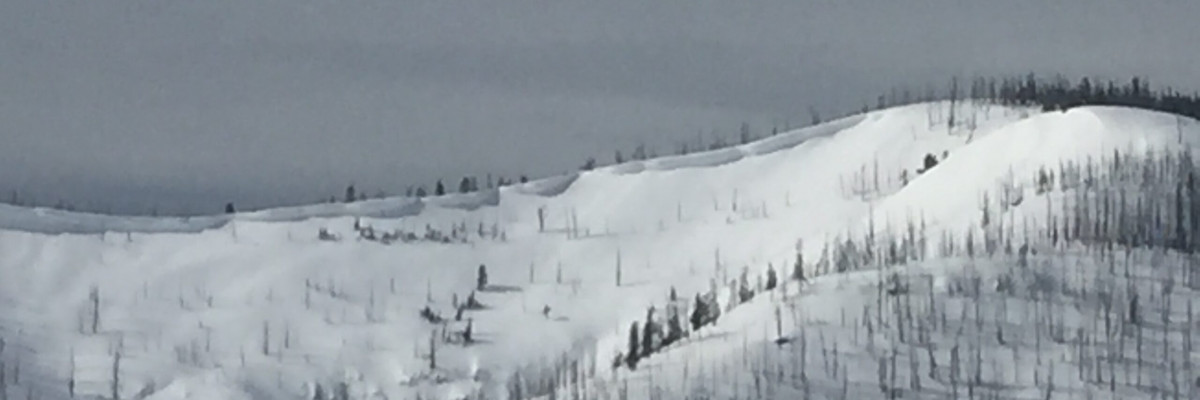
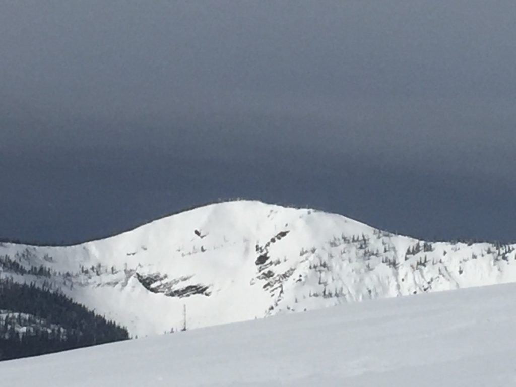
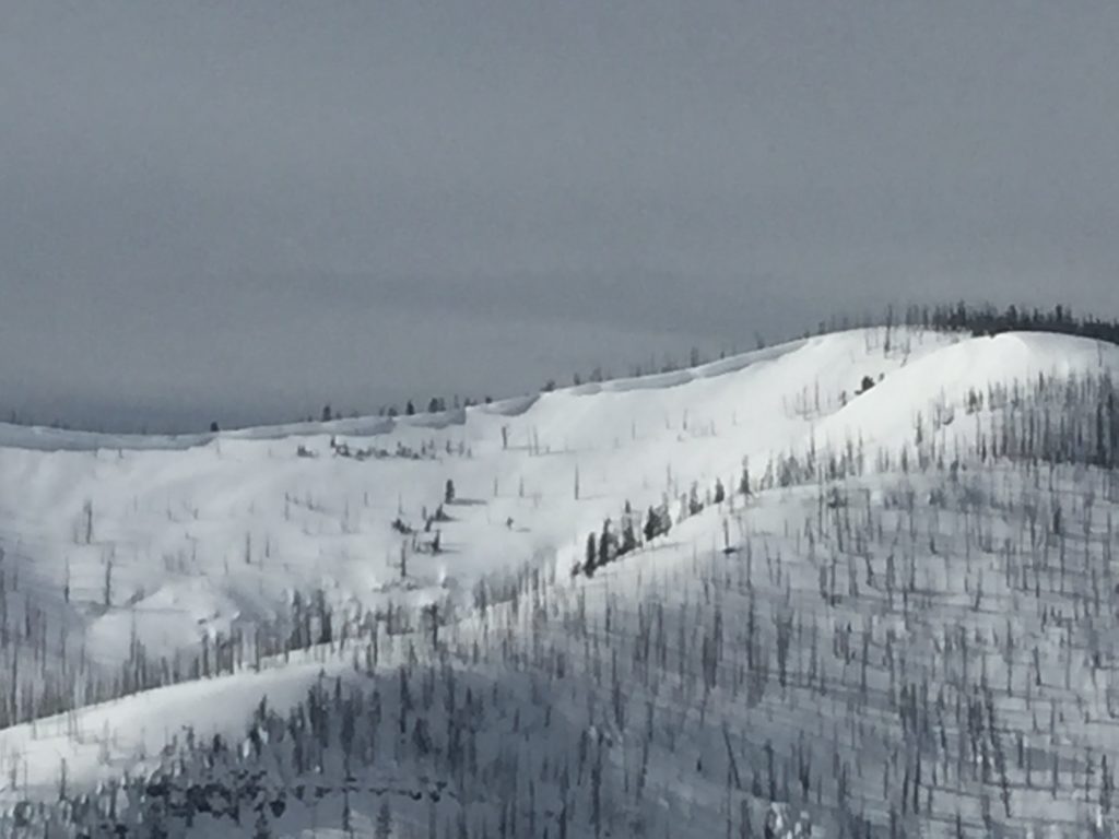
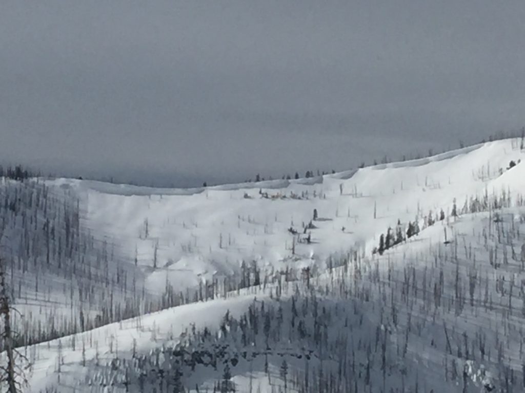
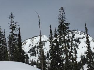
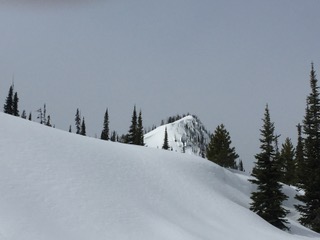
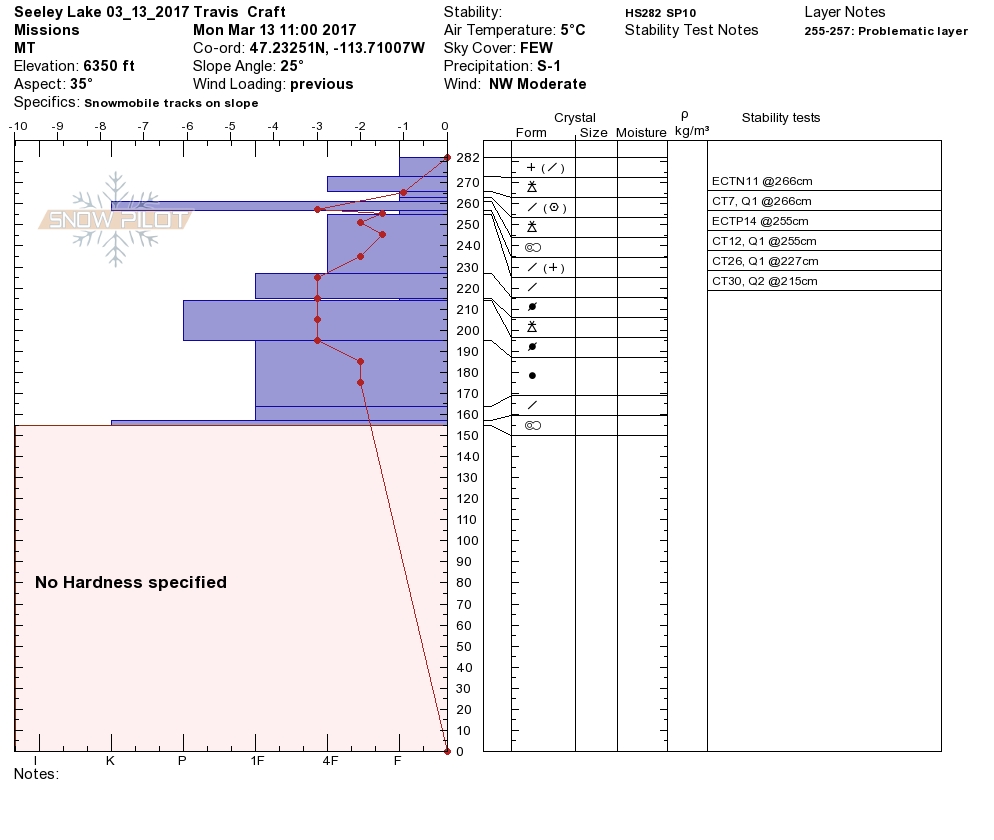
Travis and I were up in Seeley yesterday and found three very distinct problems that are dependent on what terrain you may be on. Dudley was up at Yurtski over the weekend and found similar problems with variable distribution as well in the Southern Swan Range.
The first avalanche problem today is wet slabs. With warm temperatures overnight and rain on snow to 6,500-7,500 feet wet slabs are possible at lower elevations. Wet slabs are hard to predict and require conservative decision making. Steer clear of steep terrain where the snow surface is wet and if you see signs like roller balls or glide cracks, find different terrain to recreate on.
The second avalanche concern is wind slabs on leeward terrain above 7,000 feet. Wind slabs started developing over the latter half of the weekend and were found to be large and suspect in isolated areas in Seeley yesterday. Later in the day as the storm system made its way into the region we observed a significant increases in wind and observed active snow transport. Be cautious of wind loaded terrain at upper elevations and keep in mind that the wind slabs can be large in isolated pockets.
The third concern today is storm slabs. Most of the precipitation today is falling as rain but at upper elevations in the southern Missions and Swan ranges the storm slab from last week was found to propagate at upper elevations and on cooler aspects. The slab is propagating on a layer of cold snow that fell earlier in the last storm cycle. There are also multiple graupel layers that further complicate the reactivity of the storm slab in some locations. Storm slab avalanches are isolated to very specific terrain so take the time to dig and see if the storm slab is reactive when choosing where to recreate today.
Avalanche and Weather Outlook
Warm and wet conditions will persist through Wednesday before wind and cooler temperatures return Thursday. Further rain will result in and increase in avalanche danger for the next few days.
If you are out in the backcountry, please send us your observations, these are very helpful in producing the advisory. I will issue the next advisory on March 16, 2017.
Ski and ride safe.


