
An avalanche warning is in effect for the northern portion of the West Central Montana backcountry. The current avalanche danger is HIGH. Very dangerous avalanche conditions are present. Travel in avalanche terrain is not recommended today. Human triggered avalanches are very likely, and natural avalanches are likely.
This is Logan King with an avalanche warning for March 14, 2017. This avalanche warning will expire at 6:00 pm on March 15, 2017. The warning will be extended or terminated at that time.
This danger rating does not apply to operating ski areas and is the sole responsibility of the U.S. Forest Service.
Weather and Snowpack
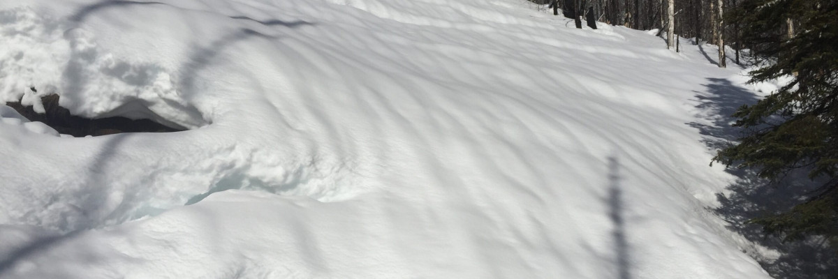
Mountain temperatures this afternoon range from 39 to 44 degrees. Widespread rain is impacting the region with .8-1.6 inches of water being added to the snowpack today. Rain is falling to around 8,000 feet this afternoon and looks to persist through the night. With a significant new load of water avalanche conditions will continue to deteriorate.
The avalanche warning is in effect due to wet slabs being likely up to 8,000 feet. The northern portion of the advisory area has seen the majority of the rain today and the concern is from the central Bitterroot to the Southern Swan and Southern Mission ranges including the Rattlesnake. Dangerous avalanche conditions exist and travel in avalanche terrain is not recommended. With so much rain on snow the snow will need time to adjust to the new load.
Avalanche and Weather Outlook
Rain is expected to impact the region through Wednesday and avalanche danger will continue to increase as more water is added to the snowpack.
The next regular scheduled advisory will be issued Thursday, the 16th.
Ski and ride safe.


