Posted:
Mar 25, 2017 @ 6:22 am

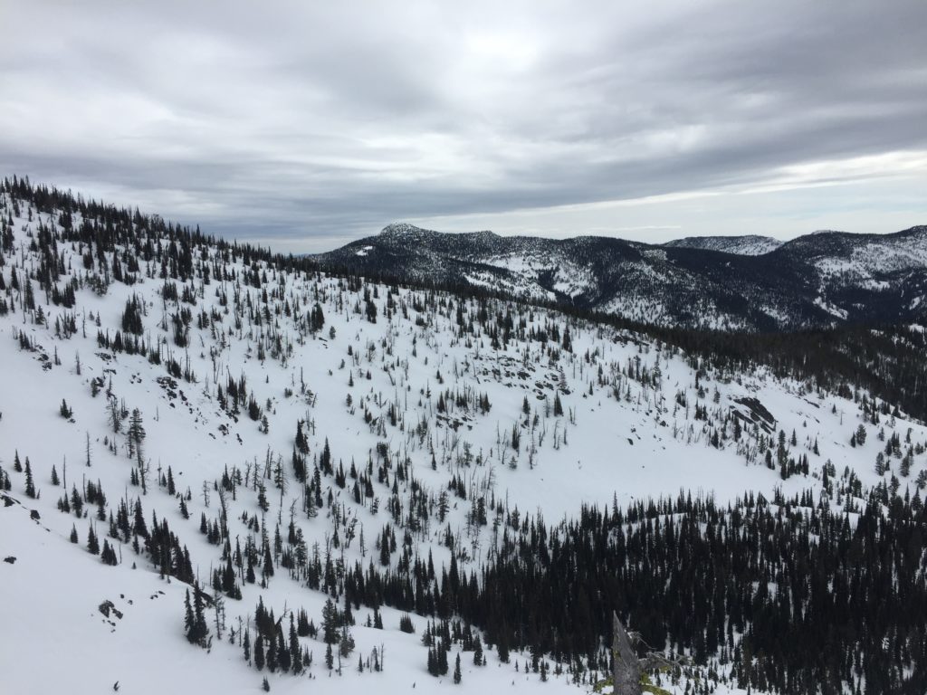
The current avalanche danger is LOW for the West Central Montana backcountry. Low danger does not mean no danger and avalanches are still possible in isolated terrain. Carefully evaluate terrain to identify features of greatest concern. With temperatures above freezing later today avalanche danger will increase in the afternoon as the sun starts to affect the snow surface.

Good morning, this is Logan King with the West Central Montana Avalanche Center’s avalanche advisory for March 25, 2017. This danger rating does not apply to operating ski areas, expires at midnight tonight and is the sole responsibility of the U.S. Forest Service.

Weather and Snowpack

Mountain temperatures this morning are below freezing and currently range from 25-31 degrees. The region received 1-4 inches of snow overnight from scattered snow showers. Winds are currently sustained at 16 mph gusting to 27 mph from the WNW at Point 6 and are calming at Deer Mountain where current winds are 7 mph gusting to 12 mph from the W.

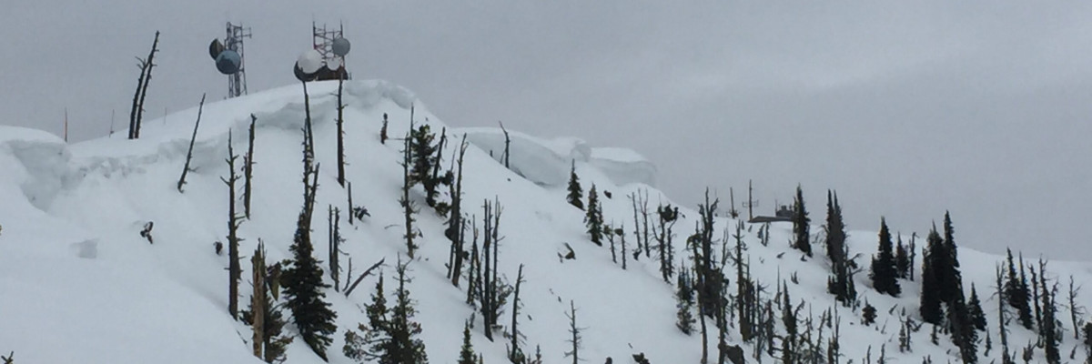
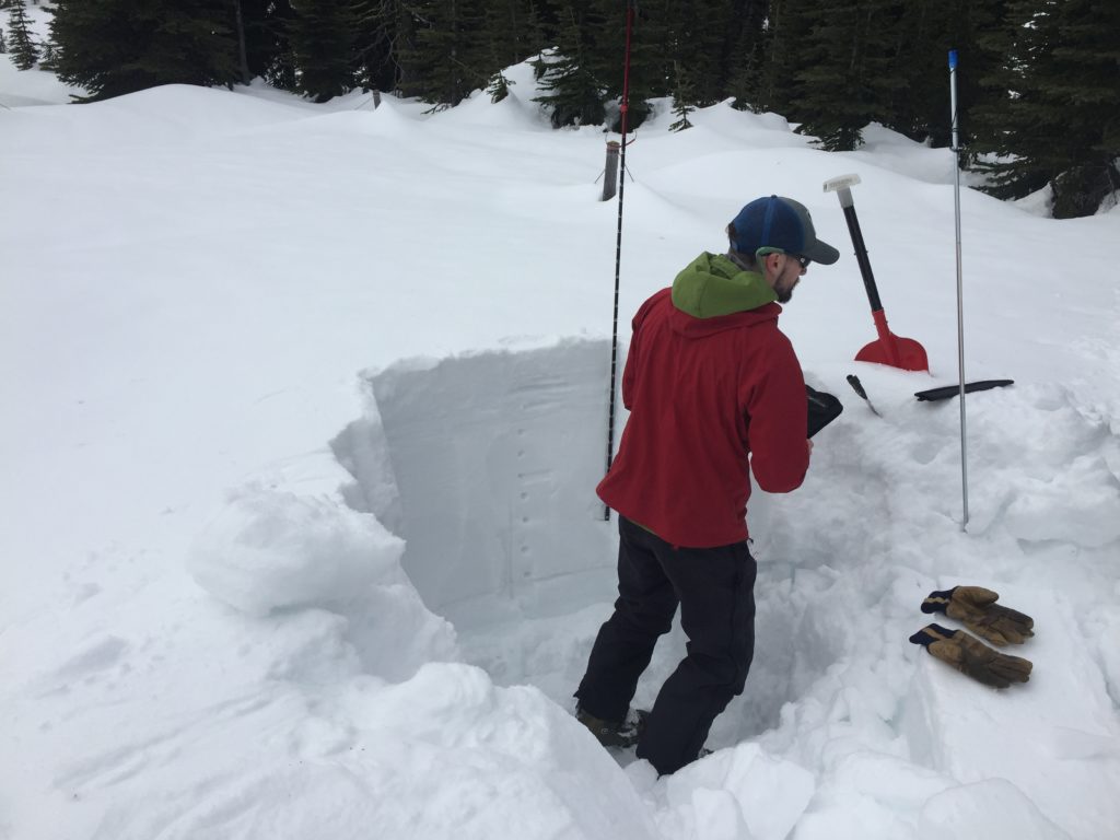
Travis and I went on an abbreviated tour in the Rattlesnake yesterday and found the snowpack to be locked up tight. With cloud cover, strong winds, and cool temperatures the snow surface did not appear to be softening up at all yesterday above 7,500 feet.

The primary avalanche concern today will be loose dry avalanches. The old snow surface froze again before snow started to accumulate over night. The new snow will be sitting on a solid bed surface and will be moving on steep terrain. Loose wet avalanches will also become a concern as the day starts warming and the new snow surface begins to get heavy. Carefully evaluate the consequences of getting caught in small loose/wet snow avalanches and avoid terrain traps.

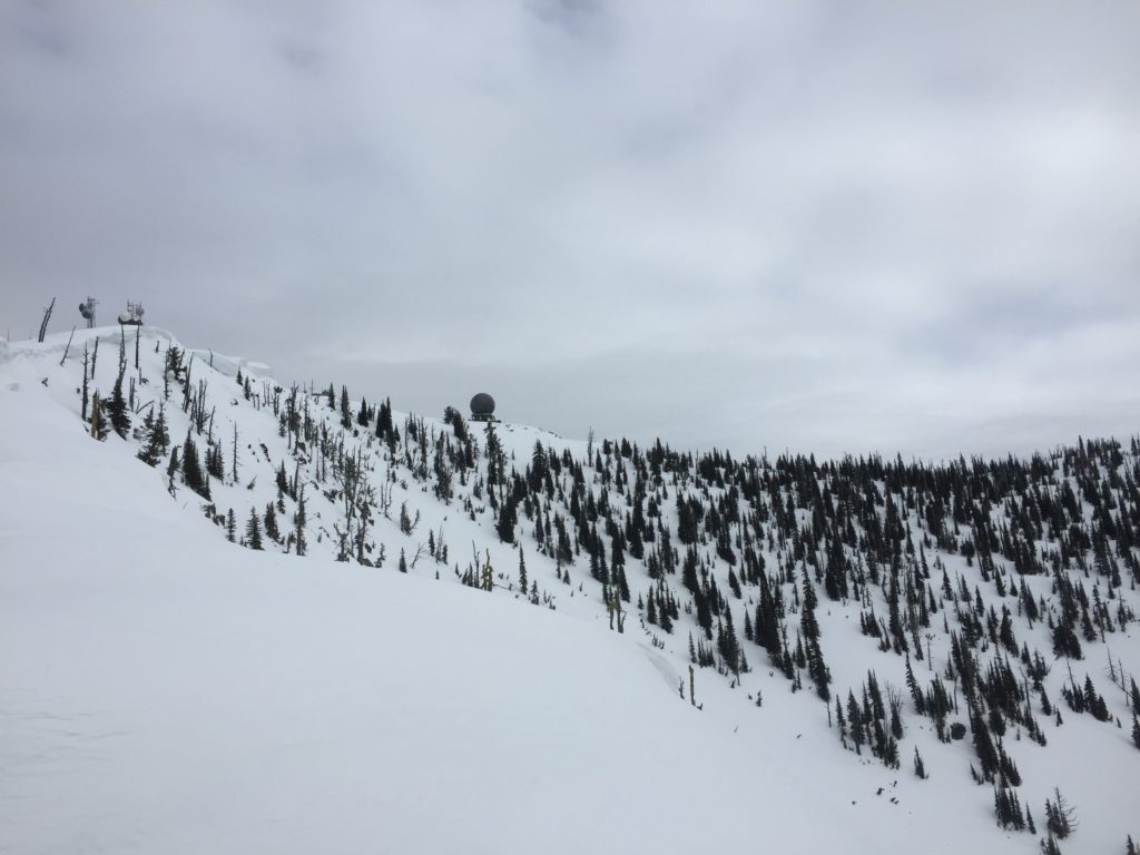
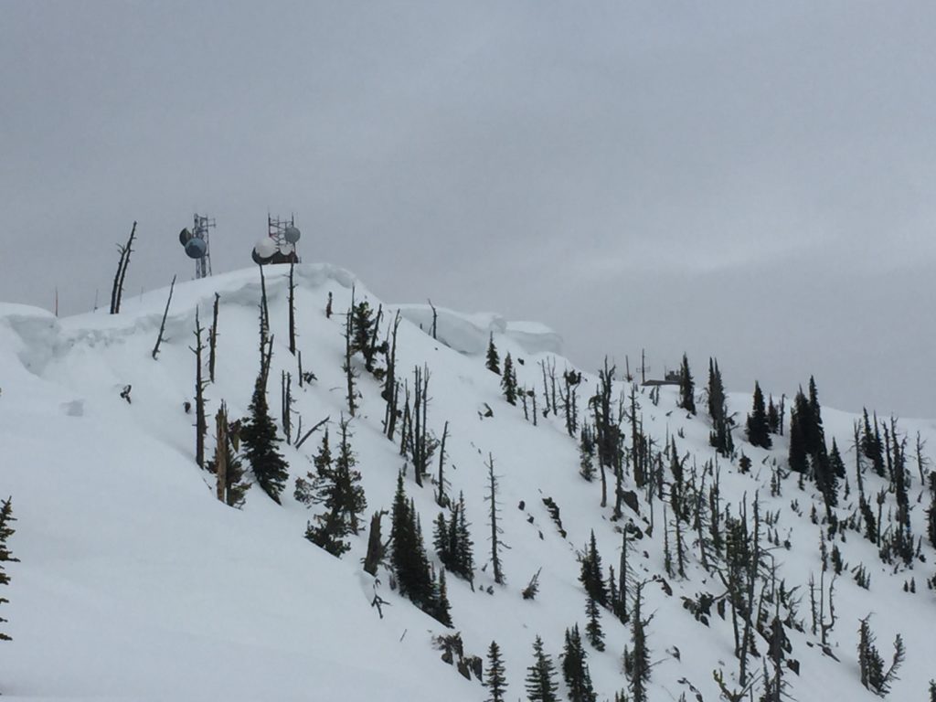
Cornices continue to require attention. Warm temperatures have weakened cornices throughout the advisory area and we continue to see natural cornice failures and cracking behind cornices while out in the mountains. Give cornices a wide berth as they tend to fail back farther than expected and the consequences of being involved in a cornice failure can be very high.

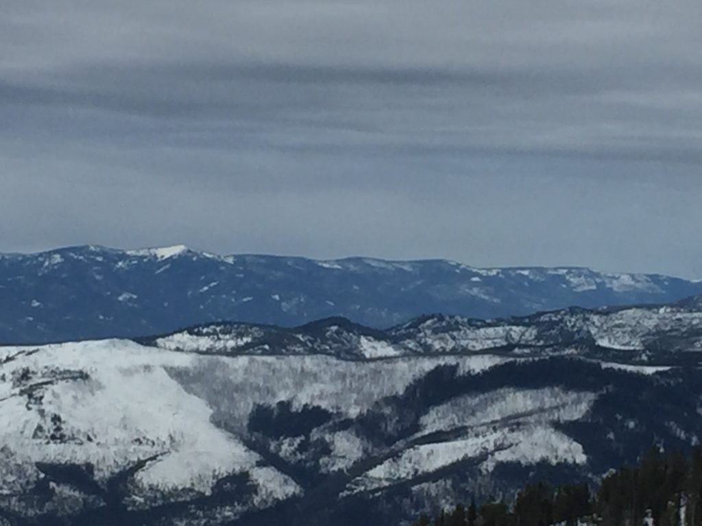
Spring time can bring great conditions for recreation but also complicates assessing avalanche danger. Wet problems tend to be unpredictable, and conservative decision making can be the best tool to safely recreate in the mountains this time of year. Continually reevaluate avalanche danger as spring conditions are very dynamic and change very quickly.


Avalanche and Weather Outlook

Light snow showers will continue off and on through the day today bringing wind this afternoon and finally giving way to warm and clear conditions on Sunday. The avalanche danger will climb if the sun starts to affect slopes in the early afternoon as temperatures look to climb above freezing today.

If you are out in the backcountry, please send us your observations, these are very helpful in producing the advisory. I will issue the next advisory on March 28, 2017.

Ski and ride safe.

READ FULL ADVISORY  

Problem 1 - Loose Dry

  • TYPE

    loose-dry

    Loose Dry

    Release of wet unconsolidated snow or slush. These avalanches typically occur within layers of wet snow near the surface of the snowpack, but they may quickly gouge into lower snowpack layers. Like Loose-Dry Avalanches,they start at a point and entrain snow as they move downhill, forming a fan-shaped avalanche. They generally move slowly, but can contain enough mass to cause significant damage to trees, cars or buildings. Other names for loose-wet avalanches include point-release avalanches or sluffs. Loose-wet avalanches can trigger slab avalanches that break into deeper snow layers.

  • SIZE

    1-2

    < 1 (Small)

    The potential size of avalanche resulting from this problem.

  • LIKELIHOOD

    Likelihood-4

    Possible/Likely

    The likelihood of an avalanche resulting from this problem.

The new 1-4 inches of snow is sitting on a firm crust and will be moving in steep terrain, but lacks slab qualities.

Problem 2 - Loose Wet

  • TYPE

    loose-wet

    Loose Wet

    Release of wet unconsolidated snow or slush. These avalanches typically occur within layers of wet snow near the surface of the snowpack, but they may quickly gouge into lower snowpack layers. Like Loose-Dry Avalanches,they start at a point and entrain snow as they move downhill, forming a fan-shaped avalanche. They generally move slowly, but can contain enough mass to cause significant damage to trees, cars or buildings. Other names for loose-wet avalanches include point-release avalanches or sluffs. Loose-wet avalanches can trigger slab avalanches that break into deeper snow layers.

  • SIZE

    1-2

    < 1 (Small)

    The potential size of avalanche resulting from this problem.

  • LIKELIHOOD

    Likelihood-3

    Possible

    The likelihood of an avalanche resulting from this problem.

Loose wet avalanches will become a problem later in the day if temperatures get above freezing and the sun starts to affect the snow surface.

Problem 3 - Cornices

  • TYPE

    cornices

    Cornices / Cornice Fall

    Release of an overhanging mass of snow that forms as the wind moves snow over a sharp terrain feature, such as a ridge, and deposits snow on the down-wind side. They range from small wind lips of soft snow to large overhangs of hard snow that are 30 feet (~10 meters) or taller. They can break off the terrain suddenly and pull back onto the ridge top and catch people by surprise even on the flat ground above the slope. Even small cornices can have enough mass to be destructive and deadly. Cornice fall can entrain loose surface snow or trigger slab avalanches.

  • SIZE

    3-4

    1-2 (Small-Large)

    The potential size of avalanche resulting from this problem.

  • LIKELIHOOD

    Likelihood-3

    Possible

    The likelihood of an avalanche resulting from this problem.

Cornices have lost a lot of strength over the last week, if the temperatures climb and sun comes out today, the cornices will continue to loose strength and be suspect.

VIDEO

FORECAST & OUTLOOK

Scattered snow showers today will be followed by windy conditions this afternoon. Warm and clear conditions will return for Sunday before the next round of snow showers start off the week.

This information is the sole responsibility of the Forest Service and does not apply to operating ski areas. The avalanche danger rating expires at midnight tonight but the information can help you make a more informed decision regarding travel in avalanche terrain for the next few days.

Our advisory area includes National Forest System lands in the Bitterroot Mountains from Lost Trail Pass north to Granite Pass, the Rattlesnake Mountains north of Missoula and the Southern Swan and Mission Mountains near Seeley Lake, MT. Avalanche information for the Lookout Pass/St. Regis Basin area is available from the Idaho Panhandle Avalanche Center.