Posted:
Apr 1, 2017 @ 5:56 am

The current avalanche danger is MODERATE for the West Central Montana backcountry. Human triggered avalanches are possible in specific terrain. Evaluate the snow and terrain carefully to identify features of concern.

Good morning, this is Logan King with the West Central Montana Avalanche Center’s avalanche advisory for April 1, 2017. This danger rating does not apply to operating ski areas, expires at midnight tonight and is the sole responsibility of the U.S. Forest Service.

Weather and Snowpack

Warm day time temperatures with scattered snow showers will persist through the weekend with minimal accumulations. Temperatures this morning are hovering around freezing and range from 26-34 degrees across the region. Scattered showers have deposited a trace to an inch of snow at locations across the advisory area. Current winds this morning at Point 6 are from the W at 11 mph gusting to 16 mph, and at Deer Mountain are from the SSE at 6 mph gusting to 7 mph.

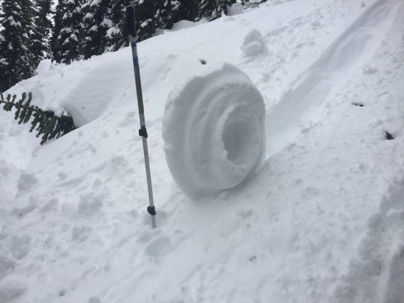
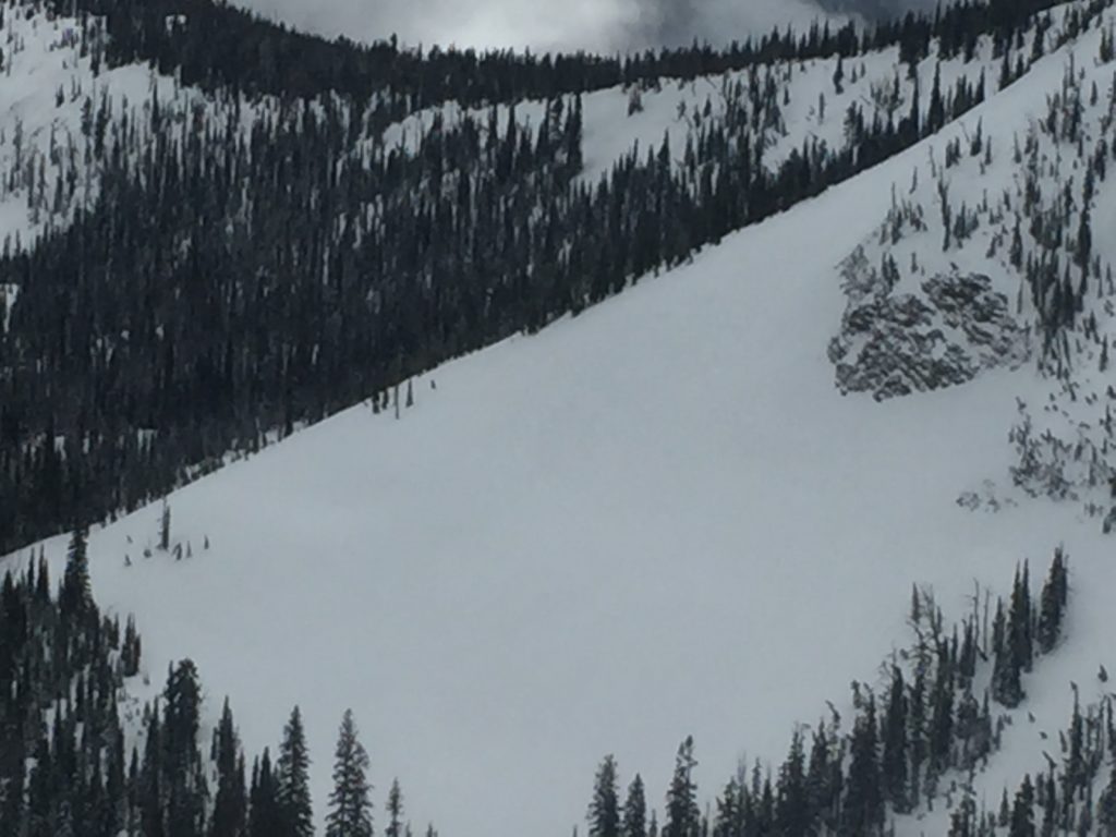
The primary avalanche concern today is loose wet avalanches. As temperatures climb and the sun affects the snow surface loose snow avalanches will be easily triggered in steep terrain. Watch for indicators of weakening snow surfaces like roller balls, and be cautious of terrain traps that increase the consequences of getting taken off your feet by a small loose wet slide.

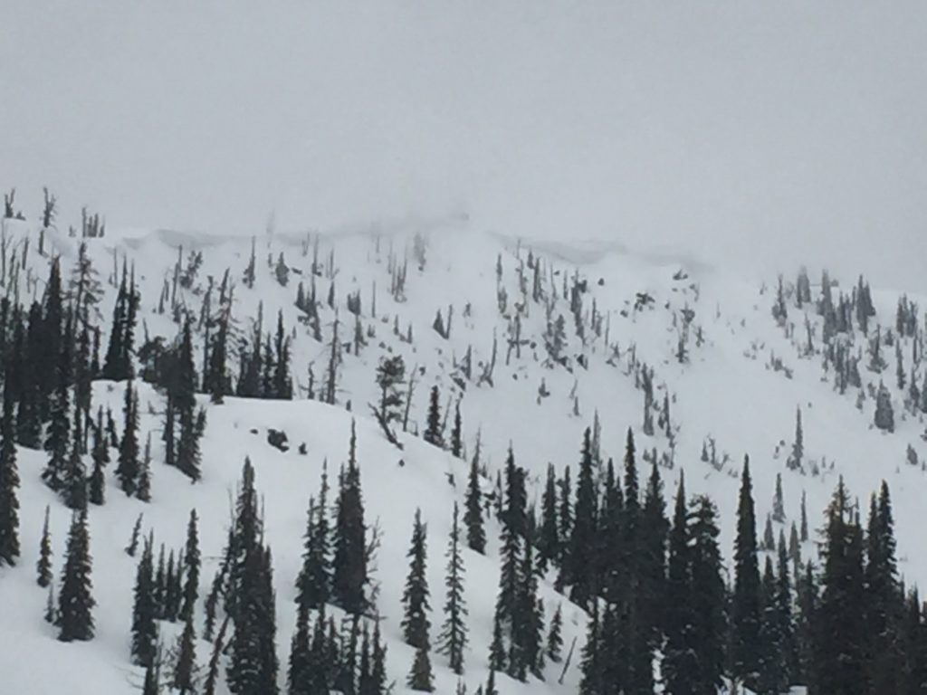
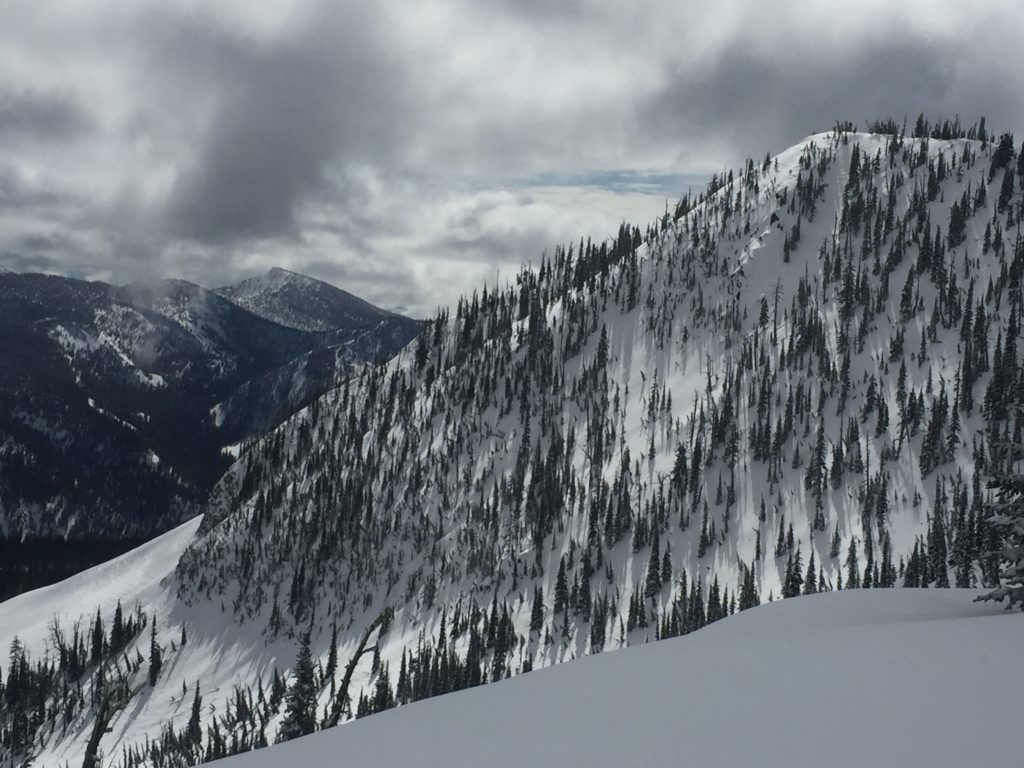
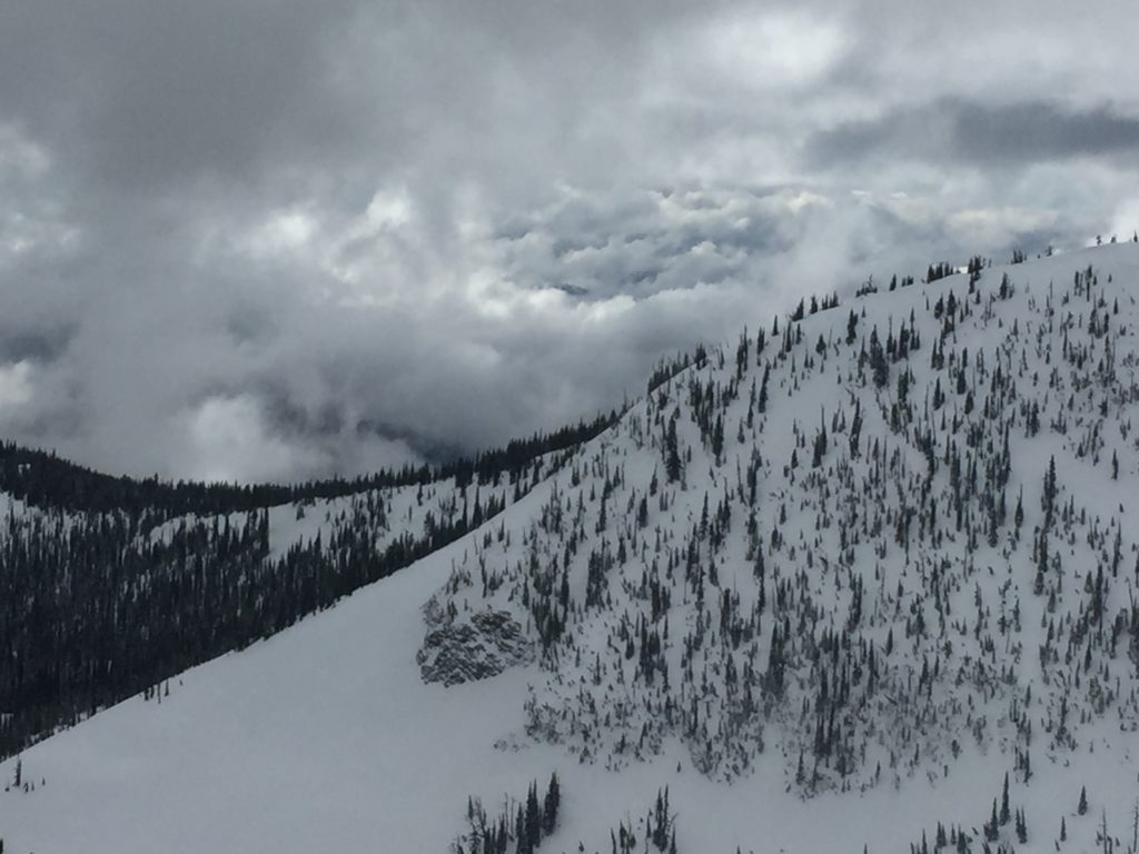
The secondary concern is wind slabs above 7,500 feet. Winds are less active today but Travis and I toured in the Rattlesnake yesterday and found that winds had transported a fair amount of snow at upper elevations. Carefully evaluate terrain and snowpack to determine if wind slabs are present. Most wind slabs will be small and isolated in pockets above tree line.

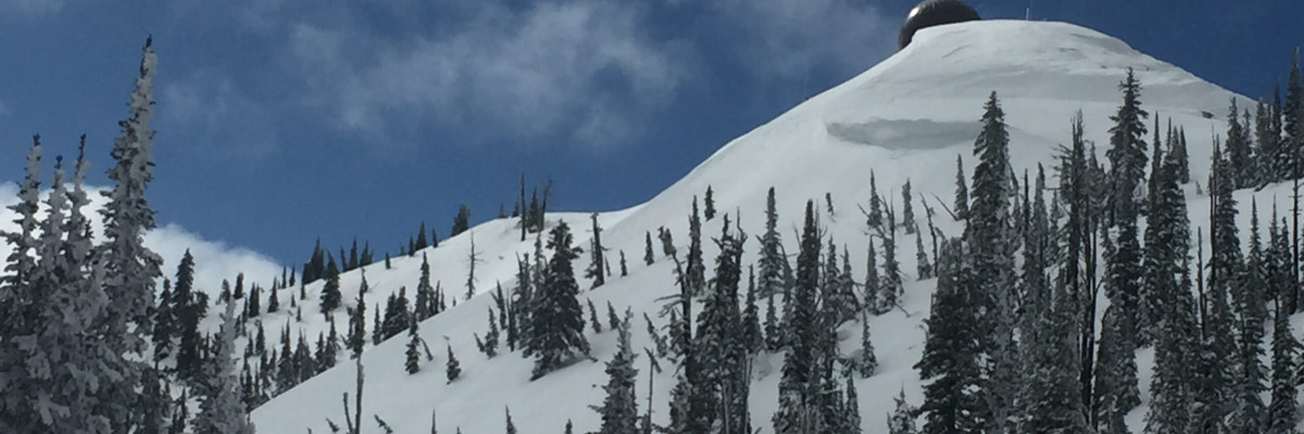
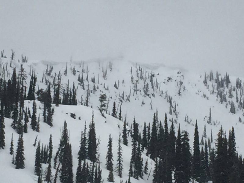
Cornices in the Rattlesnake were sagging yesterday and looked very touchy. Steer clear of cornices as they tend to break farther back than expected and will fail readily under the stress of any additional weight.

Avalanche and Weather Outlook

Scattered showers and sun will persist through the weekend but no significant accumulations are expected. The avalanche danger will remain the same as conditions don’t look to change, but we are in the daily cycle of increasing danger through the day as temperatures climb.

This is the last regular scheduled advisory but we will post additional avalanche and snowpack information if necessary for the next couple of weeks. If you are out in the backcountry, please share your observations, we will continue to post public observations to the website.

Thanks for the great season, Ski and ride safe.

READ FULL ADVISORY  

Problem 1 - Loose Wet

  • TYPE

    loose-wet

    Loose Wet

    Release of wet unconsolidated snow or slush. These avalanches typically occur within layers of wet snow near the surface of the snowpack, but they may quickly gouge into lower snowpack layers. Like Loose-Dry Avalanches,they start at a point and entrain snow as they move downhill, forming a fan-shaped avalanche. They generally move slowly, but can contain enough mass to cause significant damage to trees, cars or buildings. Other names for loose-wet avalanches include point-release avalanches or sluffs. Loose-wet avalanches can trigger slab avalanches that break into deeper snow layers.

  • SIZE

    1-2

    < 1 (Small)

    The potential size of avalanche resulting from this problem.

  • LIKELIHOOD

    Likelihood-4

    Possible/Likely

    The likelihood of an avalanche resulting from this problem.

  • IMAGE

Loose wet avalanches as the day warms up.

Problem 2 - Wind slabs

  • TYPE

    wind-slabs

    Wind Slabs

    Release of a cohesive layer of snow (a slab) formed by the wind.  Wind typically erodes snow from the upwind sides of terrain features and deposits snow on the downwind side.  Wind slabs are often smooth and rounded and sometimes sound hollow, and can range from soft to hard. Wind slabs that form over a persistent weak layer (surface hoar, depth hoar, or near-surface facets) may be termed Persistent Slabs or may develop into Persistent Slabs.

  • SIZE

    2-3

    1 (Small)

    The potential size of avalanche resulting from this problem.

  • LIKELIHOOD

    Likelihood-2

    Unlikely/Possible

    The likelihood of an avalanche resulting from this problem.

Wind slabs can be found on leeward terrain at upper elevations.

Problem 3 - Cornices

  • TYPE

    cornices

    Cornices / Cornice Fall

    Release of an overhanging mass of snow that forms as the wind moves snow over a sharp terrain feature, such as a ridge, and deposits snow on the down-wind side. They range from small wind lips of soft snow to large overhangs of hard snow that are 30 feet (~10 meters) or taller. They can break off the terrain suddenly and pull back onto the ridge top and catch people by surprise even on the flat ground above the slope. Even small cornices can have enough mass to be destructive and deadly. Cornice fall can entrain loose surface snow or trigger slab avalanches.

  • SIZE

    4-5

    2 (Large)

    The potential size of avalanche resulting from this problem.

  • LIKELIHOOD

    Likelihood-3

    Possible

    The likelihood of an avalanche resulting from this problem.

  • IMAGE

Cornices are very weak and unstable.

VIDEO

FORECAST & OUTLOOK

Scattered snow showers and warming temps will be the norm for the weekend.

This information is the sole responsibility of the Forest Service and does not apply to operating ski areas. The avalanche danger rating expires at midnight tonight but the information can help you make a more informed decision regarding travel in avalanche terrain for the next few days.

Our advisory area includes National Forest System lands in the Bitterroot Mountains from Lost Trail Pass north to Granite Pass, the Rattlesnake Mountains north of Missoula and the Southern Swan and Mission Mountains near Seeley Lake, MT. Avalanche information for the Lookout Pass/St. Regis Basin area is available from the Idaho Panhandle Avalanche Center.