
Hi everyone, this is Travis Craft at the West Central Montana Avalanche Center with early season avalanche safety information issued Tuesday, October 10, 2017.
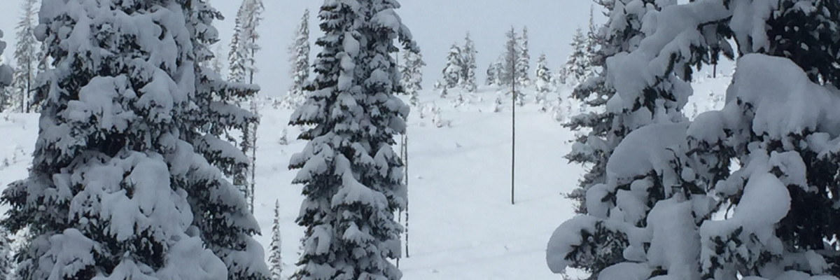
Snotel sites are slowly accumulating snow. With winter slowly taking over the higher elevations it is time to start thinking about avalanches and preparing for backcountry recreation.
In past years there have been a number of early season close calls and fatalities in Montana involving hunters and climbers. Hunters tend to travel solo without avalanche rescue equipment and avalanches are most likely the last thing they are thinking of as they follow elk tracks across steep, open terrain.
There was an avalanche fatality on Saturday, October 7th. The incident occurred on Imp Peak in the southern Madison Range, approximately 20 miles south of Big Sky. Two skiers were caught, one was fully buried and killed. This is the link to the accident details on the Gallatin National Forest Avalanche Center site.
If you see any of these obvious clues (listed below) signaling dangerous snow conditions, avoid being on or under open slopes steeper than 30 degrees.
- Recent avalanche activity
- Cracking or collapsing snowpack
- Heavy snowfall
- High winds
- Rapid increase in temperature
If you spend any amount of time in the mountains in the winter, chances are good that you will encounter avalanche terrain. Having basic awareness of terrain, weather and snow factors goes a long way toward making good decisions in avalanche terrain. To assist you, we are offering several basic and advanced avalanche awareness classes this winter. We also have instructors available to provide your organization a range of programs from introductory lectures to classes with a field component.
Any information you can provide and send the WCMAC is appreciated and helps us inform the rest of the community about avalanche safety conditions. Please send a quick email to [email protected] or complete the easy to use form here public observation.
We will update the advisory as the weather dictates and plan to begin issuing regular avalanche advisories with a danger rating in mid-December.


