Posted:
Dec 22, 2017 @ 6:16 am

Good morning, this is Logan King with the West Central Montana Avalanche Center’s weather and avalanche update for December 22nd, 2017.

Weather and Snowpack

Mountain temperatures are currently in the teens and the winds are out of the WNW. Wind speeds are around 10 mph gusting to 16 mph. Accumulating snow has resumed and snotels across the advisory area are reporting between 1-5 inches of low density snow.

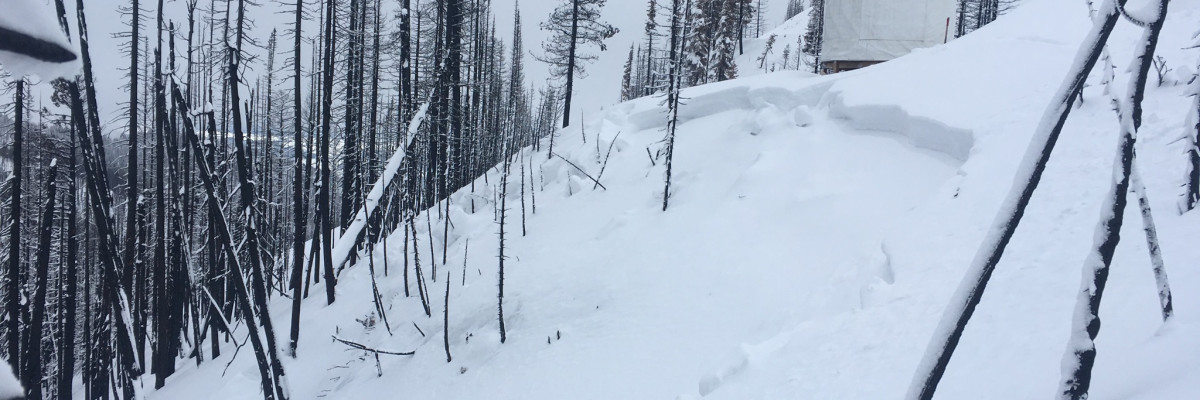
The primary avalanche concern today will continue to be persistent slabs. The facets associated with the Thanksgiving crust continue to be reactive. We received multiple reports of slides being triggered on this layer yesterday.

The secondary avalanche problem is wind slabs. The low density snow will be easily transported by even light winds. With continued snow and stronger winds developing, windslabs will become increasingly problematic. 

Avalanche and Weather Outlook

Snow is expected to continue through the day today and into tonight. Snow will be dry and light as temperatures are expected to drop. Winds will shift to the NE as the cold front moves in lowering temperatures to single digits.

READ FULL ADVISORY  

Problem 1 - Persistent Slabs

  • TYPE

    persistent-slabs

    Persistent Slabs

    Release of a cohesive layer of soft to hard snow (a slab) in the middle to upper snowpack, when the bond to an underlying persistent weak layer breaks.  Persistent layers include: surface hoar, depth hoar, near-surface facets, or faceted snow. Persistent weak layers can continue to produce avalanches for days, weeks or even months, making them especially dangerous and tricky. As additional snow and wind events build a thicker slab on top of the persistent weak layer, this avalanche problem may develop into a Persistent, Deep-Slab.

  • SIZE

    5-6

    2-3 (Large)

    The potential size of avalanche resulting from this problem.

  • LIKELIHOOD

    Likelihood-5

    Likely

    The likelihood of an avalanche resulting from this problem.

Facets continue to fail on the Thanksgiving crust with the large slab from the last storm stressing the snowpack.

Problem 2 - Wind Slabs

  • TYPE

    wind-slabs

    Wind Slabs

    Release of a cohesive layer of snow (a slab) formed by the wind.  Wind typically erodes snow from the upwind sides of terrain features and deposits snow on the downwind side.  Wind slabs are often smooth and rounded and sometimes sound hollow, and can range from soft to hard. Wind slabs that form over a persistent weak layer (surface hoar, depth hoar, or near-surface facets) may be termed Persistent Slabs or may develop into Persistent Slabs.

  • SIZE

    3-4

    1-2 (Small-Large)

    The potential size of avalanche resulting from this problem.

  • LIKELIHOOD

    Likelihood-4

    Possible/Likely

    The likelihood of an avalanche resulting from this problem.

With lots of snow available for transport windslabs will grow and become more sensitive to triggers.

FORECAST & OUTLOOK

Snow is expected to continue through the day today and into tonight. Snow will be dry and light as temperatures are expected to drop. Winds will shift to the NE as the cold front moves in lowering temperatures to single digits.

This information is the sole responsibility of the Forest Service and does not apply to operating ski areas. The avalanche danger rating expires at midnight tonight but the information can help you make a more informed decision regarding travel in avalanche terrain for the next few days.

Our advisory area includes National Forest System lands in the Bitterroot Mountains from Lost Trail Pass north to Granite Pass, the Rattlesnake Mountains north of Missoula and the Southern Swan and Mission Mountains near Seeley Lake, MT. Avalanche information for the Lookout Pass/St. Regis Basin area is available from the Idaho Panhandle Avalanche Center.