Posted:
Dec 24, 2017 @ 7:59 am

Good morning, this is Logan King with the West Central Montana Avalanche Center’s weather and avalanche update for December 24th, 2017.

Weather and Snowpack

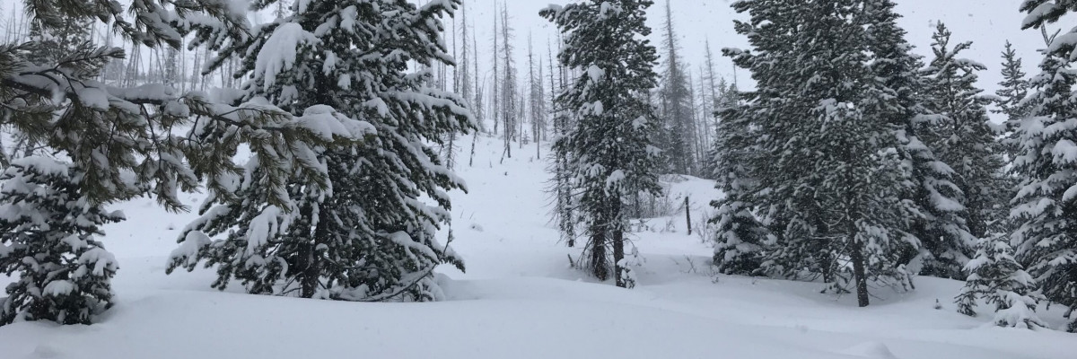
Cold is the name of the game today. Temperatures are -14 to -1 this morning. Winds are currently out of the 19 mph gusting to 21 out of the West. The area received no new snow overnight.

Persistent slabs will continue to be the primary avalanche concern today. Facets on the Thanksgiving crust and buried surface hoar are the greatest concern not only because they are the most sensitive layers but because if they slide they will result in large avalanches.

Avalanche and Weather Outlook

Cold air will continue to dominate for the day today giving way to snow showers again tonight.

READ FULL ADVISORY  

Problem 1 - Persistent Slabs

  • TYPE

    persistent-slabs

    Persistent Slabs

    Release of a cohesive layer of soft to hard snow (a slab) in the middle to upper snowpack, when the bond to an underlying persistent weak layer breaks.  Persistent layers include: surface hoar, depth hoar, near-surface facets, or faceted snow. Persistent weak layers can continue to produce avalanches for days, weeks or even months, making them especially dangerous and tricky. As additional snow and wind events build a thicker slab on top of the persistent weak layer, this avalanche problem may develop into a Persistent, Deep-Slab.

  • SIZE

    5-6

    2-3 (Large)

    The potential size of avalanche resulting from this problem.

  • LIKELIHOOD

    Likelihood-4

    Possible/Likely

    The likelihood of an avalanche resulting from this problem.


FORECAST & OUTLOOK

  • Danger Trend

    same

    Same Danger

  • Area Forecast

    Cold

Cold air will continue to dominate for the day today giving way to snow showers again tonight.

This information is the sole responsibility of the Forest Service and does not apply to operating ski areas. The avalanche danger rating expires at midnight tonight but the information can help you make a more informed decision regarding travel in avalanche terrain for the next few days.

Our advisory area includes National Forest System lands in the Bitterroot Mountains from Lost Trail Pass north to Granite Pass, the Rattlesnake Mountains north of Missoula and the Southern Swan and Mission Mountains near Seeley Lake, MT. Avalanche information for the Lookout Pass/St. Regis Basin area is available from the Idaho Panhandle Avalanche Center.