Posted:
Dec 25, 2017 @ 6:38 am

Good morning and merry Christmas  this is Travis Craft with the West Central Montana Avalanche Center’s weather and avalanche update for December 25, 2017. This danger rating does not apply to operating ski areas, expires at midnight tonight and is the sole responsibility of the U.S. Forest Service.

Weather and Snowpack

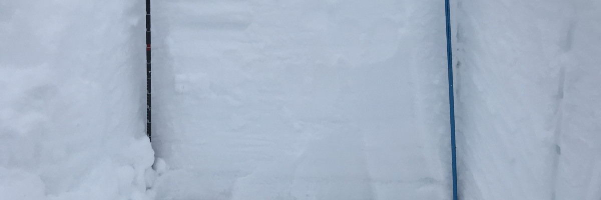
Mountain temperatures range from 8 F to 20 F in the region. Winds are 5 mph with gusts of 7 mph out of the SW in the Bitterroot. Point Six, in the northern part of the advisory area, winds are 17 mph with gusts of 21 mph out of the West.  The advisory area received 3 to 7 inches of snow in the last 24 hours.

The addition of new snow to our poor snowpack structure will increase the avalanche danger.

Persistent slabs will continue to be the primary avalanche concern today. Facets on the Thanksgiving crust and buried surface hoar are the greatest concern not only because they are the most sensitive layers but because if they slide they will result in large avalanches.  You will need to dig and see if these layers are present and reactive. Carefully evaluate the snowpack before exposing yourself to avalanche terrain.

Wind slabs are the second avalanche problem.  Leeward terrain and cross-loaded slopes will have wind slabs.  Look for rounded pillows of snow near ridgelines and recognize signs of instability such as cracking in the surface snow.  These slabs will be sensitive to human triggers.


READ FULL ADVISORY  

Problem 1 - Persistent Slabs

  • TYPE

    persistent-slabs

    Persistent Slabs

    Release of a cohesive layer of soft to hard snow (a slab) in the middle to upper snowpack, when the bond to an underlying persistent weak layer breaks.  Persistent layers include: surface hoar, depth hoar, near-surface facets, or faceted snow. Persistent weak layers can continue to produce avalanches for days, weeks or even months, making them especially dangerous and tricky. As additional snow and wind events build a thicker slab on top of the persistent weak layer, this avalanche problem may develop into a Persistent, Deep-Slab.

  • SIZE

    4-5

    2 (Large)

    The potential size of avalanche resulting from this problem.

  • LIKELIHOOD

    Likelihood-4

    Possible/Likely

    The likelihood of an avalanche resulting from this problem.

  • IMAGE

Facets on the Thanksgiving crust and buried surface hoar are the greatest concern not only because they are the most sensitive layers but because if they slide they will result in large avalanches.  You will need to dig and see if these layers are present and reactive. Carefully evaluate the snowpack before exposing yourself to avalanche terrain.

Problem 2 - Wind Slabs

  • TYPE

    wind-slabs

    Wind Slabs

    Release of a cohesive layer of snow (a slab) formed by the wind.  Wind typically erodes snow from the upwind sides of terrain features and deposits snow on the downwind side.  Wind slabs are often smooth and rounded and sometimes sound hollow, and can range from soft to hard. Wind slabs that form over a persistent weak layer (surface hoar, depth hoar, or near-surface facets) may be termed Persistent Slabs or may develop into Persistent Slabs.

  • SIZE

    3-4

    1-2 (Small-Large)

    The potential size of avalanche resulting from this problem.

  • LIKELIHOOD

    Likelihood-4

    Possible/Likely

    The likelihood of an avalanche resulting from this problem.

Leeward terrain and cross-loaded slopes will have wind slabs.  Look for rounded pillows of snow near ridgelines and recognize signs of instability such as cracking in the surface snow.  These slabs will be sensitive to human triggers.

FORECAST & OUTLOOK

Snow entered our area overnight.  Winer weather will continue this week. See the whole forecast here.

This information is the sole responsibility of the Forest Service and does not apply to operating ski areas. The avalanche danger rating expires at midnight tonight but the information can help you make a more informed decision regarding travel in avalanche terrain for the next few days.

Our advisory area includes National Forest System lands in the Bitterroot Mountains from Lost Trail Pass north to Granite Pass, the Rattlesnake Mountains north of Missoula and the Southern Swan and Mission Mountains near Seeley Lake, MT. Avalanche information for the Lookout Pass/St. Regis Basin area is available from the Idaho Panhandle Avalanche Center.