
The current avalanche danger is High in the southern Missions and Swan ranges. Travel is avalanche terrain is not recommended today. A considerable avalanche danger exists across the rest of the West Central Montana Backcountry. Conservative decision making are essential today as conditions look to deteriorate. Widespread avalanche activity is possible and will increase through the day today.
Good morning, this is Logan King with the West Central Montana Avalanche Center’s avalanche advisory for January 11th, 2018. This danger rating does not apply to operating ski areas, expires at midnight tonight and is the sole responsibility of the U.S. Forest Service.
Weather and Snowpack
The Southern Missions and Southern Swan ranges have taken the brunt of the storm thus far. Snotels yesterday were reporting 11 inches of snow and 1.2 inches of SWE. The addition of another few inches overnight plus more to come today will further stress the snowpack. Temperatures are in the low twenties for the region.
The Rattlesnake and Bitterroot Mountains did not get hammered as hard. Yesterday 4-8 inches accumulated with .4-.9inches of SWE. Overnight an additional 1-4 inches fell in the southern region. Mountain temperatures are in the teens to upper twenties this morning and winds are calm at Point 6 and Deer Mountain with gusts up to 10 mph from the south.
The primary avalanche concern today will be storm slabs, especially in the northern part of the advisory area. A wet and heavy load of snow has accumulated and will be stressing the snowpack. For the southern Missions and Swans, travel in avalanche terrain will not be recommended as widespread avalanche activity is likely today. Snow stability will continue to be poor as a significant load of new snow is expected today and into tomorrow further stressing the snowpack.
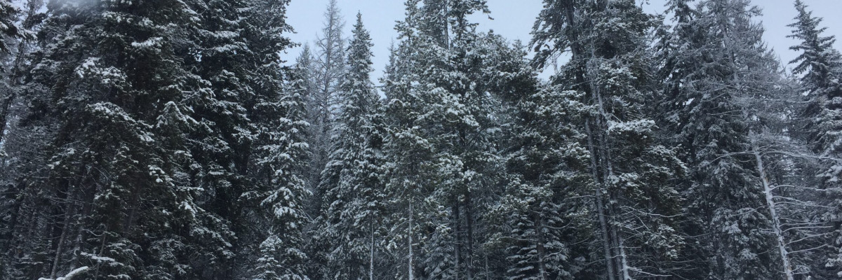
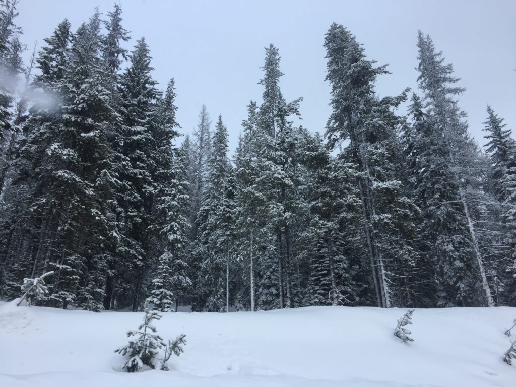
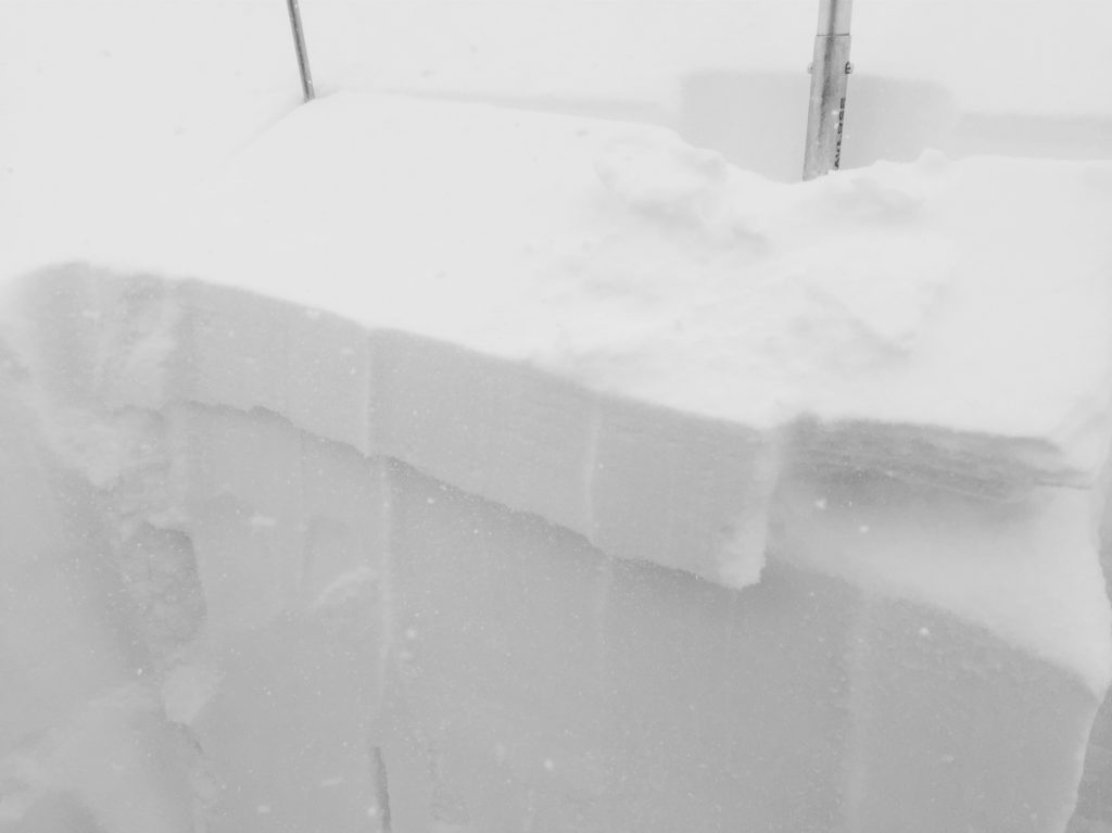
Tim and Greg were in the Rattlesnake yesterday and Travis and I went up to Lolo Pass. We found 2-5 inches of heavy wet snow sitting on a newly formed rain crust at lower elevations and sun crusts or surface hoar at upper elevations.
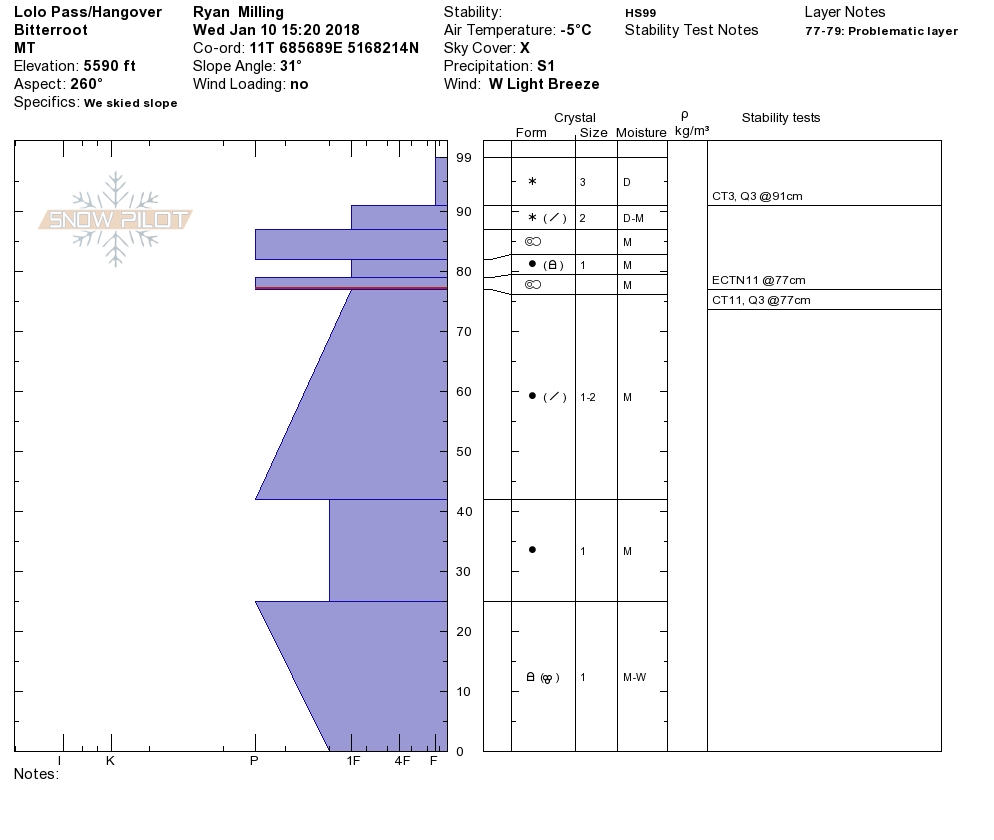
The primary avalanche concern for the Bitterroot and Rattlesnake will be persistent weak layers. A layer of surface hoar formed on cold shaded aspects and a sun crust formed on warm solar affected aspects. The buried surface hoar will be sensitive to triggers today. As the load continues to increase, human triggered avalanches will become likely by the afternoon. The deep Thanksgiving crust continues to heal but will remain suspect for some time, be on the lookout for the possibility of step down avalanches specifically in shallow snow or rocky terrain.
Storm slabs will develop today in the Bitterroot and Rattlesnake as precipitation continues. A rain crust at lower elevations and sun crust on solar aspects at upper elevations will provided a poor bonding surface for the new snow and will be a solid bed surface for snow to move on. Carefully evaluate the bonding of the new snow before entering avalanche terrain. Human triggered avalanches will become likely by mid-day.
With 4-10 inches of mountain snow expected during the day and the potential for up to a foot overnight avalanche danger is increasing across the advisory area. If you are out in the backcountry, please send us your observation, these are very helpful in producing the advisory. The next advisory will be issued Saturday the 13th.
Ski and ride safe.


