Posted:
Jan 13, 2018 @ 6:07 am

The Avalanche warning has expired and the current avalanche danger is CONSIDERABLE. Natural avalanches are possible and human triggered avalanche remain likely. Cautious route finding and conservative decision making are essential for backcountry travel today.

Good morning, this is Logan King with the West Central Montana Avalanche Center’s avalanche advisory for Saturday, January 13th, 2018.  This danger rating does not apply to operating ski areas, expires at midnight tonight and is the sole responsibility of the U.S. Forest Service.

Weather and Snowpack

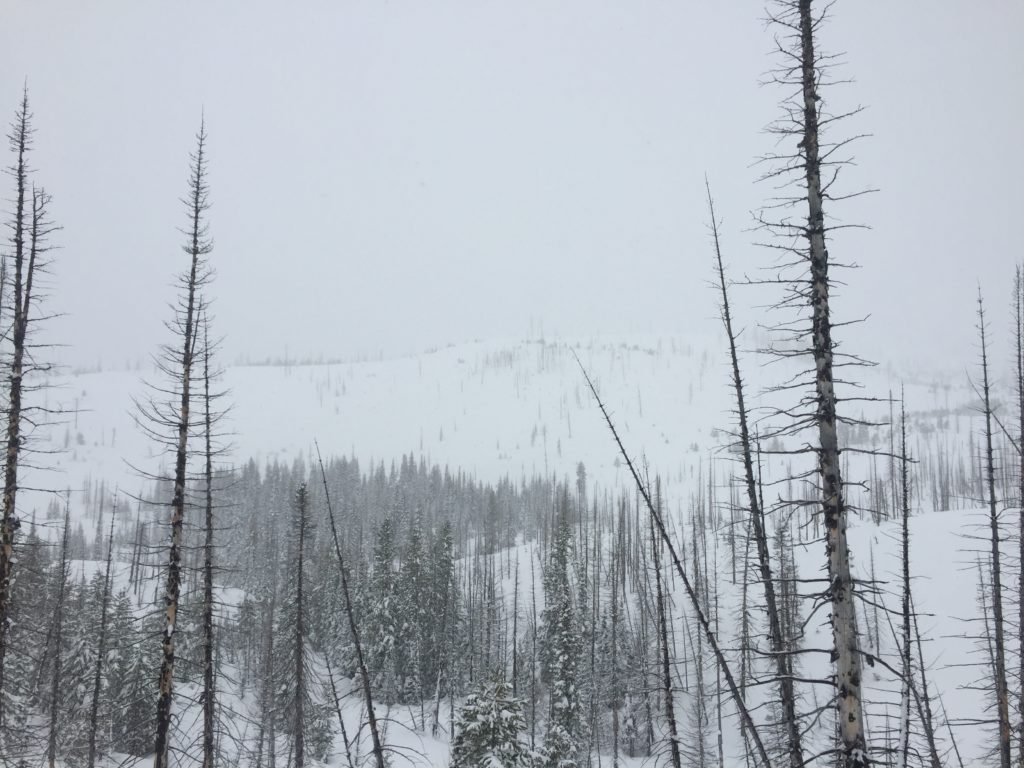
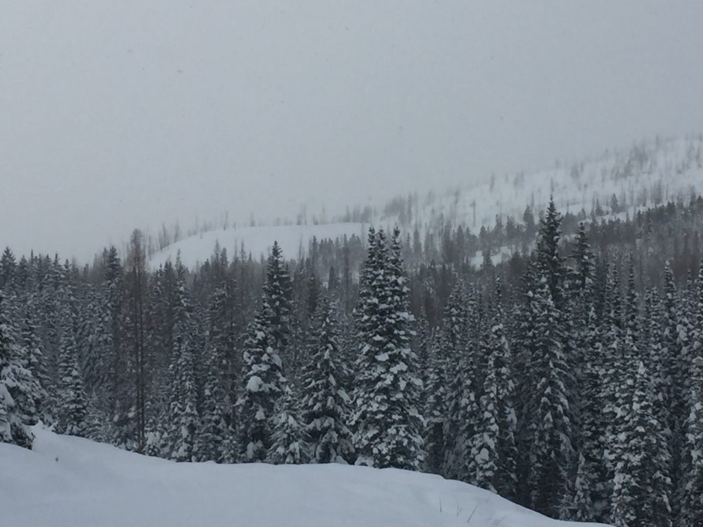
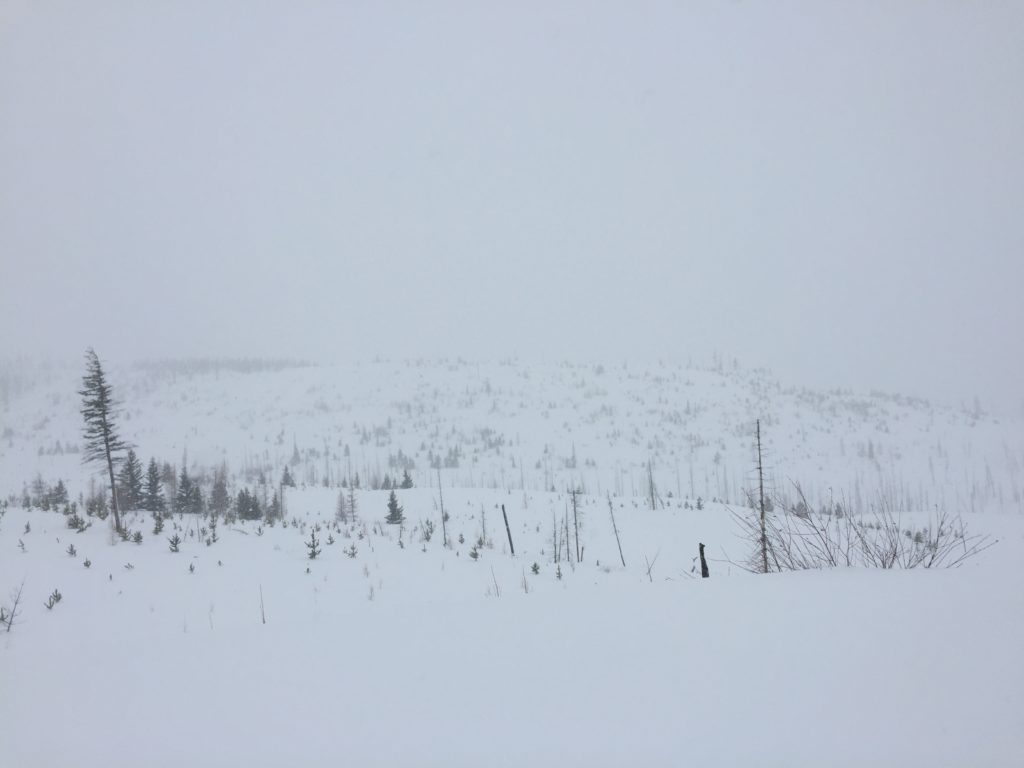
Mountain temperatures are hovering around freezing this morning. Winds are from the WSW at 15 mph gusting to 20 mph. Light snow continued through the night and the area received an additional 2-4 inches of snow over the past 24 hours. The bulk of the snow yesterday was again focused towards the northern half of the advisory area.

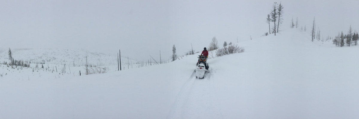
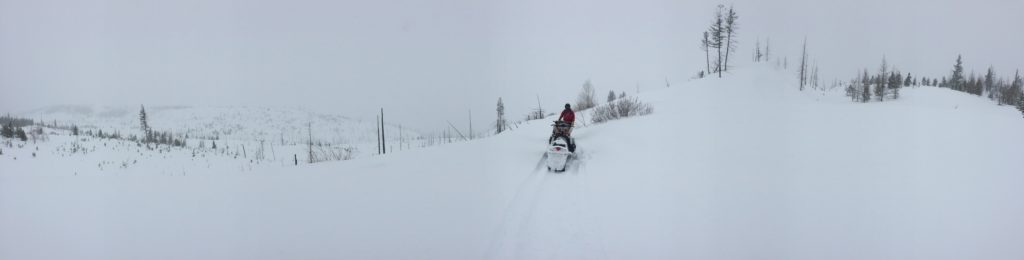
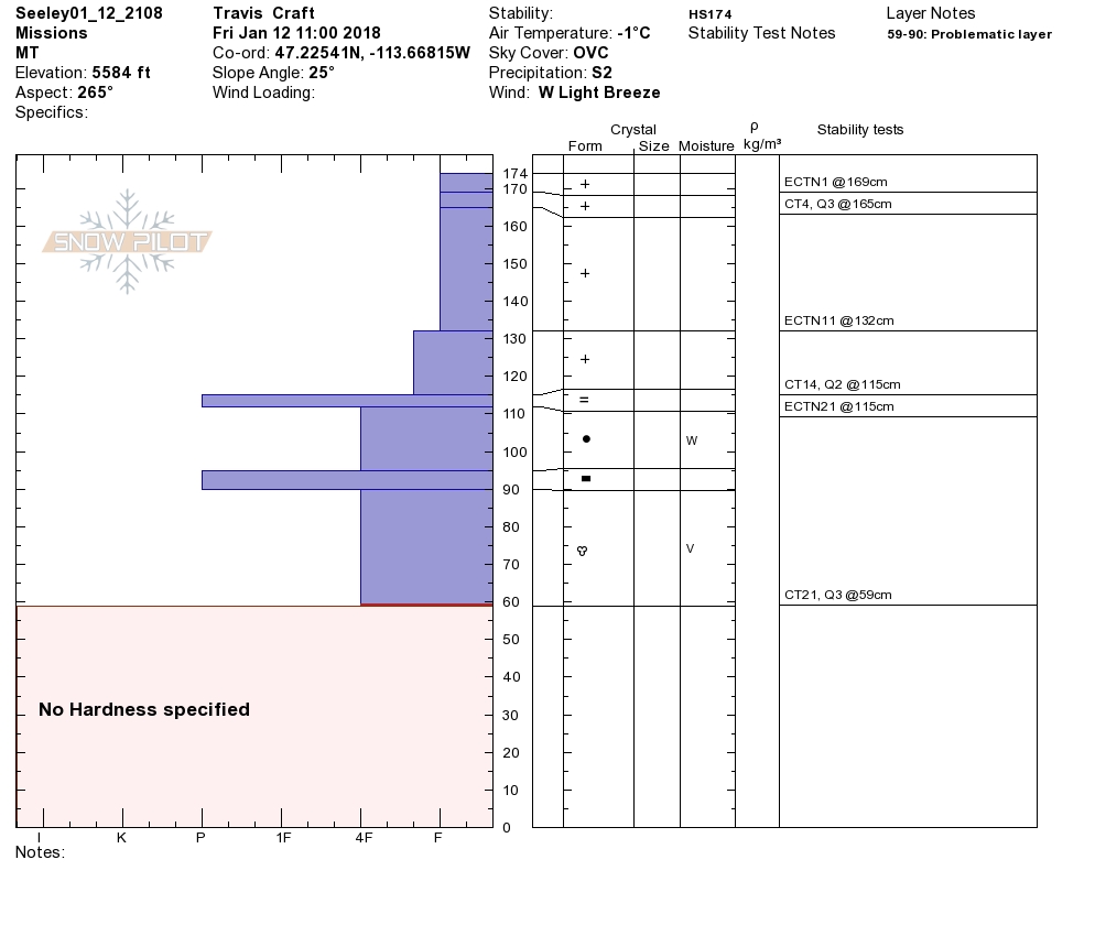
Travis and I went to Seeley yesterday and found the storm slab was starting to settle and bond to the older snow surface. We received reports of avalanche activity yesterday that was failing about a foot deep with artificial triggers.

Storm slabs are the primary avalanche concern today. The majority of avalanche accidents happen within 24-48 of a storm, so be skeptical of the snow as the massive load hasn’t had the time needed to settle out yet. We are already seeing signs of bonding in the new snow but with the continued lighter snow it will require a little extra time before it’s no longer a concern. Before you commit to avalanche terrain, carefully evaluate the snow to determine if the new layer is still reactive.

Buried surface hoar will make persistent slabs the secondary concern today. With a very weak layer underneath the heavy load of new snow persistent slabs will be easily triggered if there is a persistent weak layer below the surface. The only way to determine if this layer is present is to take the time to dig a pit and identify if this layer is present. Be wary of slopes that have buried surface hoar and avoid traveling on or below them.

Winds started to develop towards the tail end of the storm creating small wind slabs in isolated pockets. We received a report of a small wind slab that was triggered yesterday.  Small isolated wind slabs will continue to develop under light winds as there is plenty of snow for transport. Avoid terrain that has been wind loaded.

Avalanche and Weather Outlook

Active snow showers will continue through the morning but snow fall will be nowhere near what the last few days brought. Avalanche conditions will remain the same through the day today before stability starts to slowly improve through the weekend.

If you are out in the backcountry, please send us your observations, these are very helpful in producing the advisory. Travis will issue the next advisory on Tuesday January 16th.

Ski and ride safe.

READ FULL ADVISORY  

Problem 1 - Storm Slabs

  • TYPE

    storm-slabs

    Storm Slabs

    Release of a soft cohesive layer (a slab) of new snow which breaks within the storm snow or on the old snow surface. Storm-slab problems typically last between a few hours and few days. Storm-slabs that form over a persistent weak layer (surface hoar, depth hoar, or near-surface facets) may be termed Persistent Slabs or may develop into Persistent Slabs.

  • SIZE

    4-5

    2 (Large)

    The potential size of avalanche resulting from this problem.

  • LIKELIHOOD

    Likelihood-5

    Likely

    The likelihood of an avalanche resulting from this problem.

Storm slabs are starting to bond but will be touchy for another day or two.

Problem 2 - Persistent Slabs

  • TYPE

    persistent-slabs

    Persistent Slabs

    Release of a cohesive layer of soft to hard snow (a slab) in the middle to upper snowpack, when the bond to an underlying persistent weak layer breaks.  Persistent layers include: surface hoar, depth hoar, near-surface facets, or faceted snow. Persistent weak layers can continue to produce avalanches for days, weeks or even months, making them especially dangerous and tricky. As additional snow and wind events build a thicker slab on top of the persistent weak layer, this avalanche problem may develop into a Persistent, Deep-Slab.

  • SIZE

    5-6

    2-3 (Large)

    The potential size of avalanche resulting from this problem.

  • LIKELIHOOD

    Likelihood-5

    Likely

    The likelihood of an avalanche resulting from this problem.

Isolated areas of buried surface hoar will easily be triggered today.

Problem 3 - Wind Slabs

  • TYPE

    wind-slabs

    Wind Slabs

    Release of a cohesive layer of snow (a slab) formed by the wind.  Wind typically erodes snow from the upwind sides of terrain features and deposits snow on the downwind side.  Wind slabs are often smooth and rounded and sometimes sound hollow, and can range from soft to hard. Wind slabs that form over a persistent weak layer (surface hoar, depth hoar, or near-surface facets) may be termed Persistent Slabs or may develop into Persistent Slabs.

  • SIZE

    2-3

    1 (Small)

    The potential size of avalanche resulting from this problem.

  • LIKELIHOOD

    Likelihood-3

    Possible

    The likelihood of an avalanche resulting from this problem.

Small wind slabs in isolated pockets.

VIDEO

FORECAST & OUTLOOK

Scattered snow showers will continue today before high pressure sets up across the region.

This information is the sole responsibility of the Forest Service and does not apply to operating ski areas. The avalanche danger rating expires at midnight tonight but the information can help you make a more informed decision regarding travel in avalanche terrain for the next few days.

Our advisory area includes National Forest System lands in the Bitterroot Mountains from Lost Trail Pass north to Granite Pass, the Rattlesnake Mountains north of Missoula and the Southern Swan and Mission Mountains near Seeley Lake, MT. Avalanche information for the Lookout Pass/St. Regis Basin area is available from the Idaho Panhandle Avalanche Center.