
The current avalanche danger is MODERATE above 6,000 feet in the West Central Montana backcountry. The avalanche danger below 6,000 feet is low. Human triggered avalanches remain possible in isolated areas. Heightened avalanche conditions exist on specific terrain features and require careful evaluation to determine if instabilities are present.
Good morning, this is Logan King with the West Central Montana Avalanche Center’s avalanche advisory for January 23, 2018. This danger rating does not apply to operating ski areas, expires at midnight tonight and is the sole responsibility of the U.S. Forest Service.
Weather and Snowpack
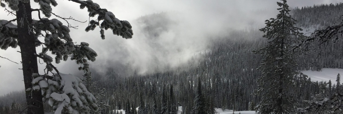
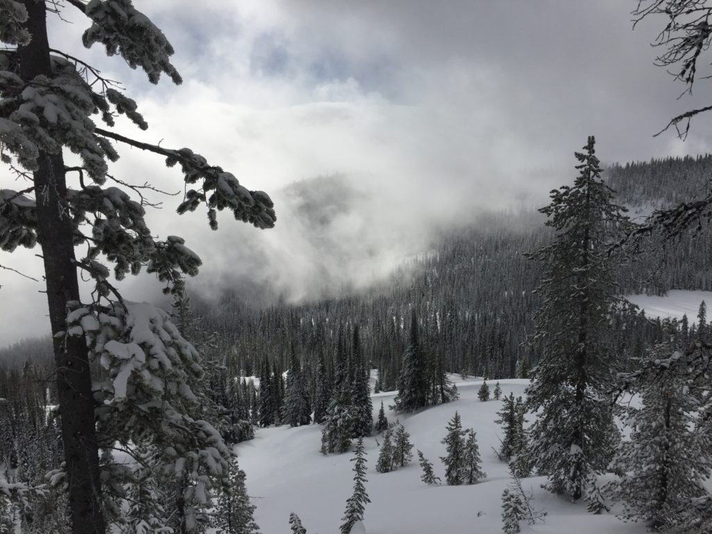
Temperatures this morning are in the teens to low twenties. The area received sporadic snow yesterday and last night. A trace to 2 inches of snow has accumulated over the past 24 hours. Winds are currently light out of the SSW with peak gusts into the low teens.
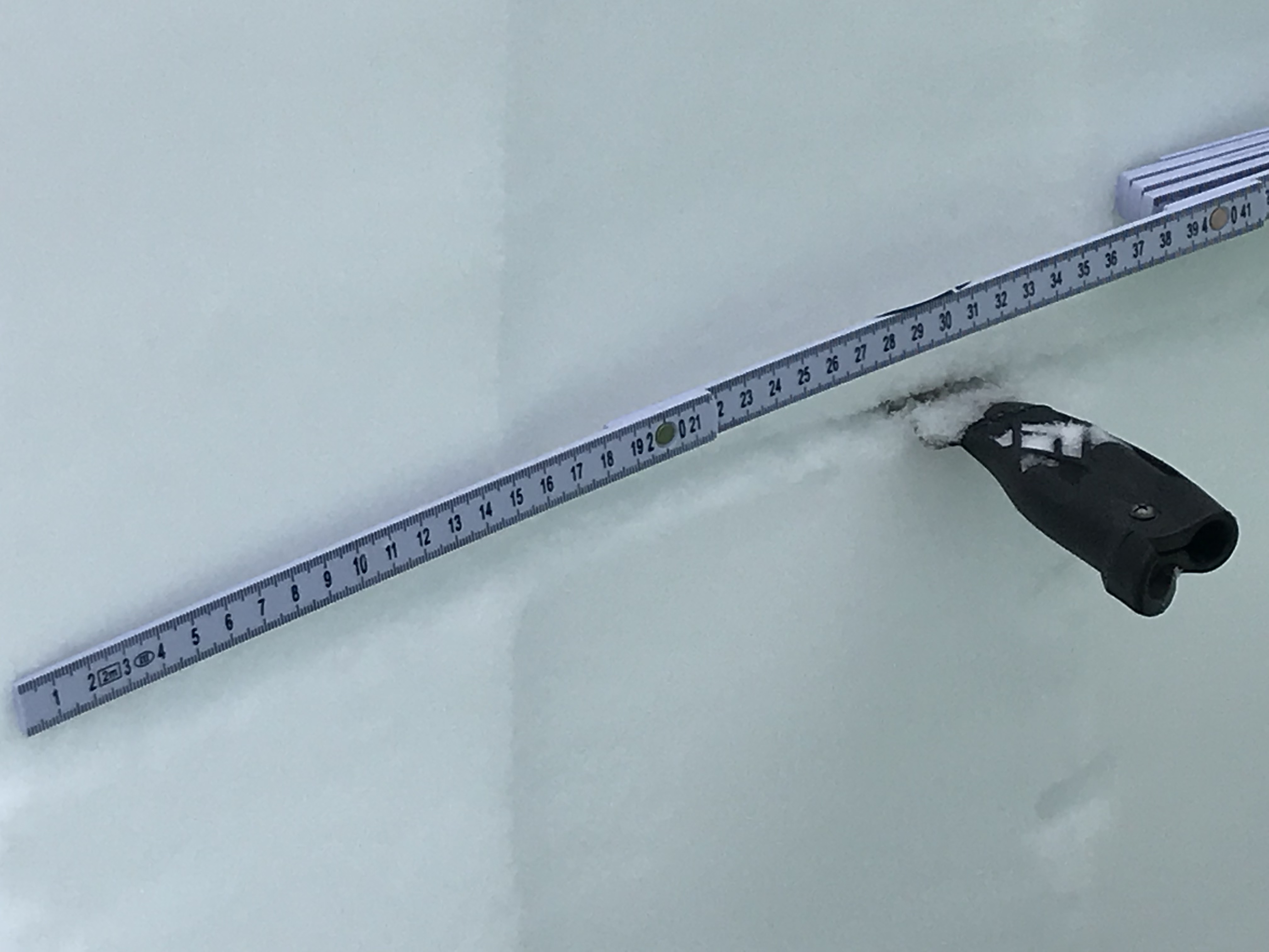
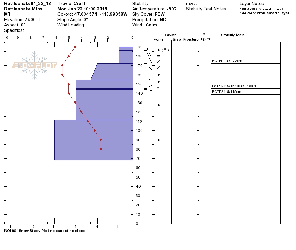
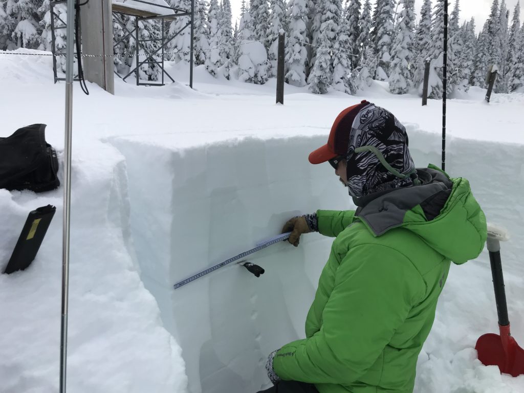
Tim and Greg were up at Lolo pass yesterday and Travis and I toured in the Rattlesnake. We found a variable snowpack that is continuing to gain strength but still poses concerns. Most of the avalanche problems are isolated and vary greatly across the region and require careful evaluation to identify areas of concern.
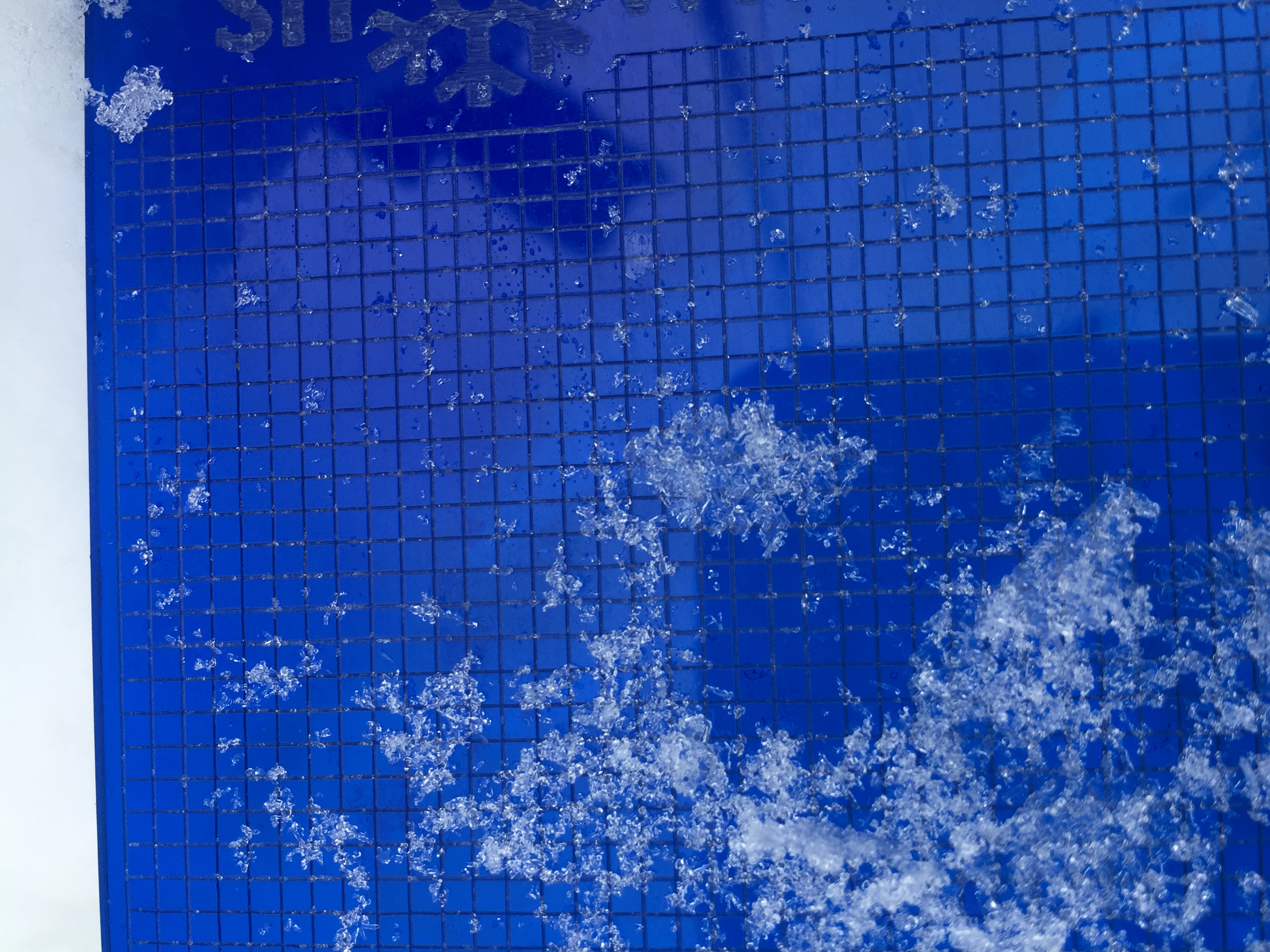
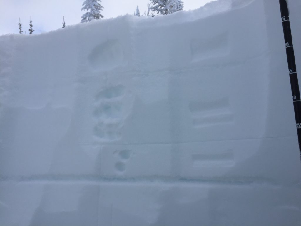
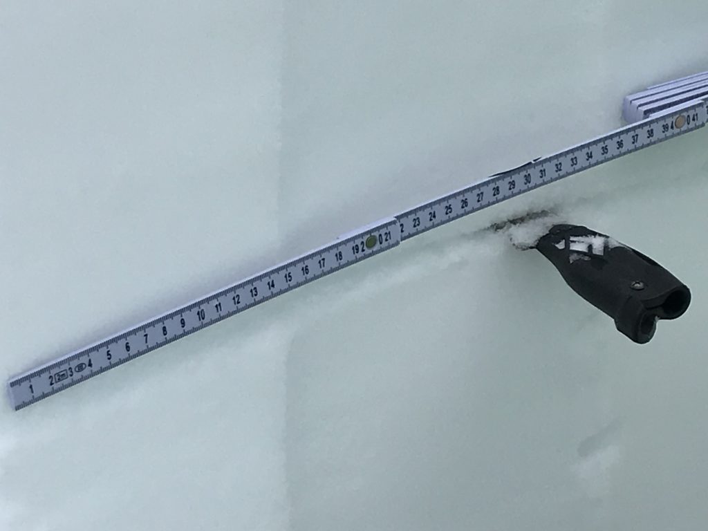
The primary avalanche concern continues to be persistent weak layers. The greatest concern in the region are pockets of buried surface hoar. The pockets of buried surface hoar are isolated and not found on all slopes but if present they are reactive and propagate readily in stability tests. The only way to know if this layer is under the surface is to dig and look for it. Avoid traveling in areas that have been identified to be harboring buried surface hoar as avalanches will be easily triggered by this very weak layer.
Wind slabs are the secondary concern today on steep wind loaded terrain above 6,500 feet. Strong winds were reported yesterday at upper elevations and will only increase through the day today. Soft and small wind slabs will be found on leeward terrain and will become increasingly susceptible to failures as they stiffen up and grow today. Avoid terrain that has pillows of wind deposition and obvious lee terrain such as slopes below cornices.
The WCMAC extend our deepest condolences to the friends and family of those affected by the loss of a member of our community. On Saturday afternoon a rider was killed in an avalanche south of Reas Peak on the Caribou-Targhee National Forest near Island Park, Idaho. We will post more information as it becomes available.
Avalanche and Weather Outlook
Intermittent light snow will continue off on and on today until a wet and windy system pushes into the region late today. More information regarding the forecast can be found here. The avalanche danger will remain the same today before if starts increasing tonight as more snow and wind begin to have an impact across the forecast area.
The next avalanche advisory will be issued on Thursday, January 25th, 2018.
Ski and ride safe.


