
Above 6,000 feet and on wind loaded terrain the current avalanche danger is MODERATE for the West Central Montana backcountry. Avalanches are possible in specific areas and terrain. Careful evaluation of conditions and terrain are essential for backcountry travel today. Conditions will be very dynamic today and will require continual assessment, as avalanche activity will be on the rise.
Good morning, this is Logan King with the West Central Montana Avalanche Center’s avalanche advisory for January 25th, 2018. This danger rating does not apply to operating ski areas, expires at midnight tonight and is the sole responsibility of the U.S. Forest Service.
Weather and Snowpack
Winds are currently in the mid-20’s, gusting to mid-30’s from the South in the Central Bitterroot, Rattlesnake, Southern Missions, and Southern Swan ranges. These areas also picked up 3-6 inches of snow overnight. For the southern Bitterroot only about and inch of snow has fallen and winds at Deer Mountain are 12 mph gusting to 19 mph from the South. Temperatures across the region are right around freezing this morning.
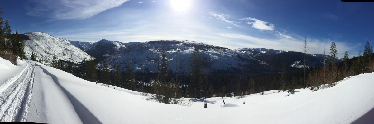
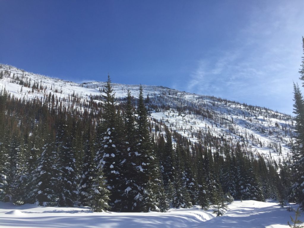
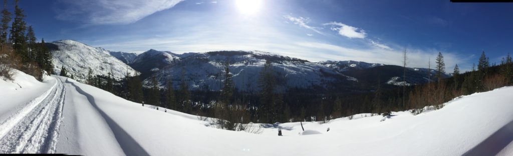
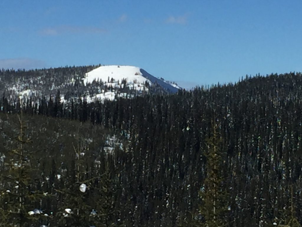
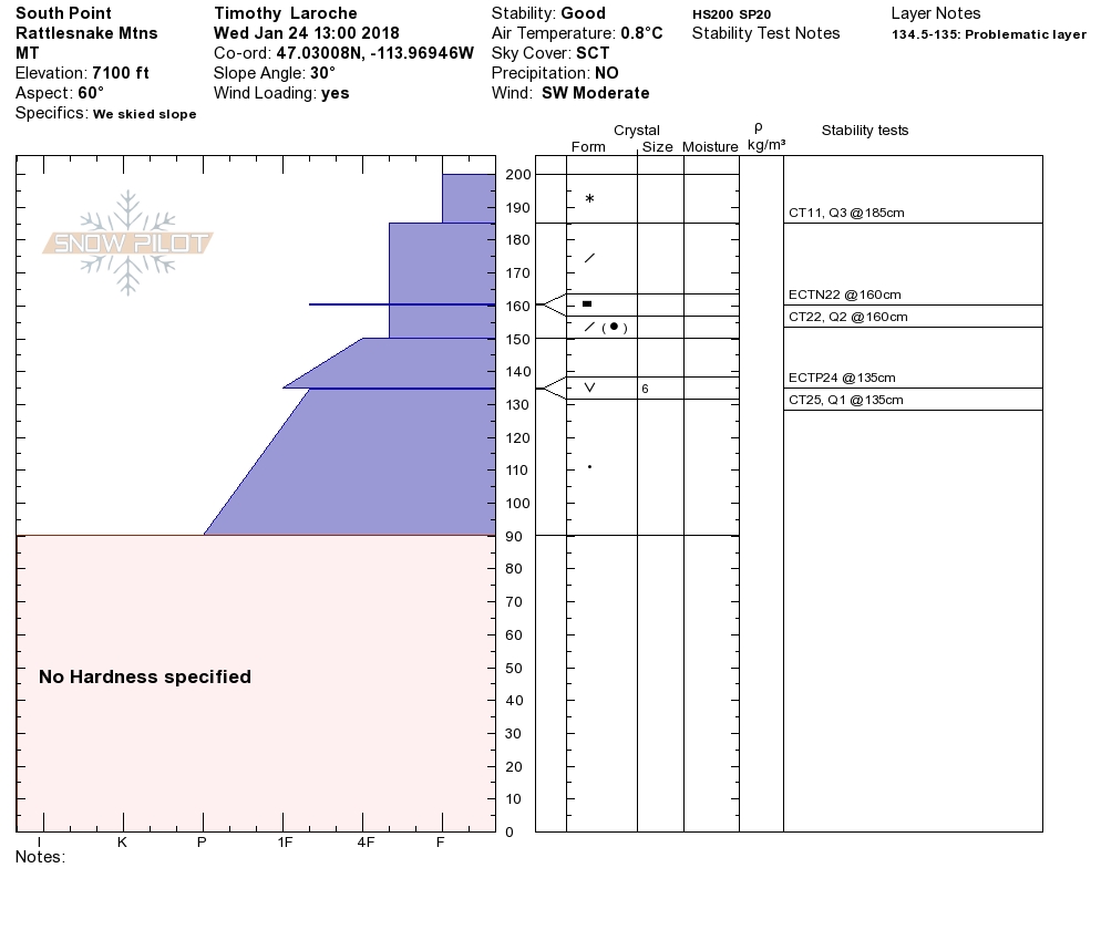
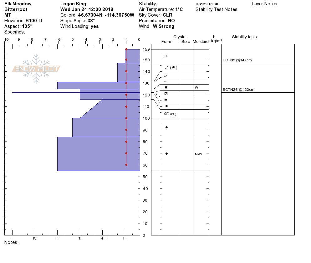
Travis and I rode to Elk Meadows yesterday and Tim toured in the Rattlesnake. We found about 6 inches of new snow near Lolo Pass and observed strong ridge top winds that were actively transporting snow. Small pockets of buried surface hoar are still reactive in stability tests around the advisory area. Today will be marked by change as more snow is added to the snowpack and winds will continue to affect snow stability.
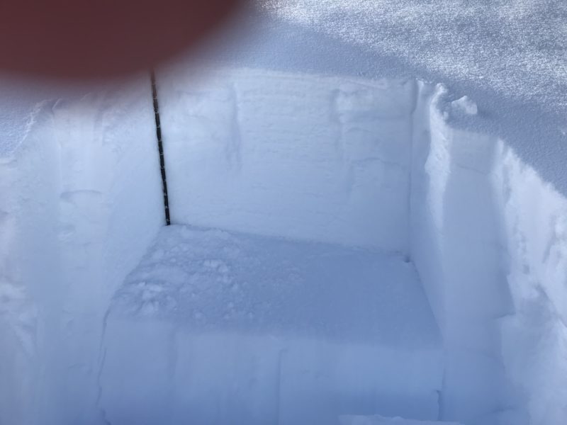
The continued reactivity of the buried surface hoar keeps it at the tops of the list of avalanche concerns for now. The persistent slab is just as reactive as it has been and is developing a good size slab on top, increasing the consequences of this layer failing. The surface hoar is isolated in small pockets mostly on cooler aspects but the only way to identify if this layer is present is to dig. Take the time to dig for and identify this layer when determining where to recreate today.
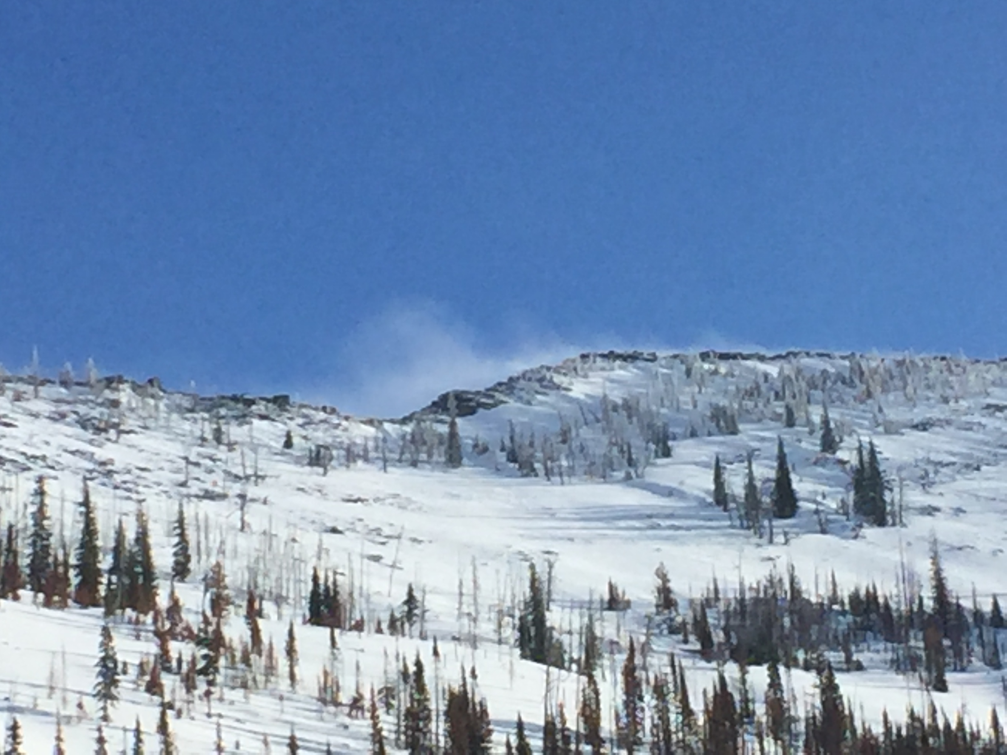
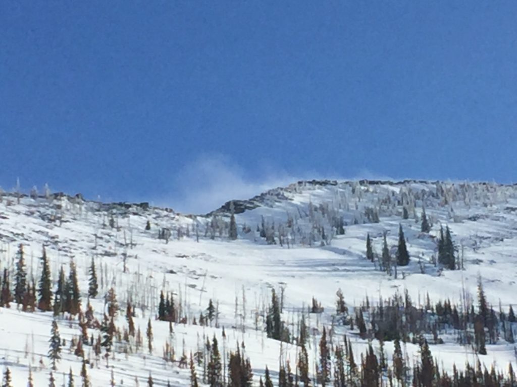
Wind slabs are the second major concern today and will be a growing concern for the next 24-48 hours. Consistent and strong winds have been observed at upper elevations and near mountain passes and ridges for the past few days, increasing the concern of wind slab avalanches. Wind slabs are growing and with more wind and snow for transport expected, this problem will not be going away anytime soon. Look for signs of wind loading like rounded pillows of snow below ridges and avoid leeward and cross loaded terrain. Carefully evaluate terrain features for signs of wind loading before traveling in or around steep mountain terrain.
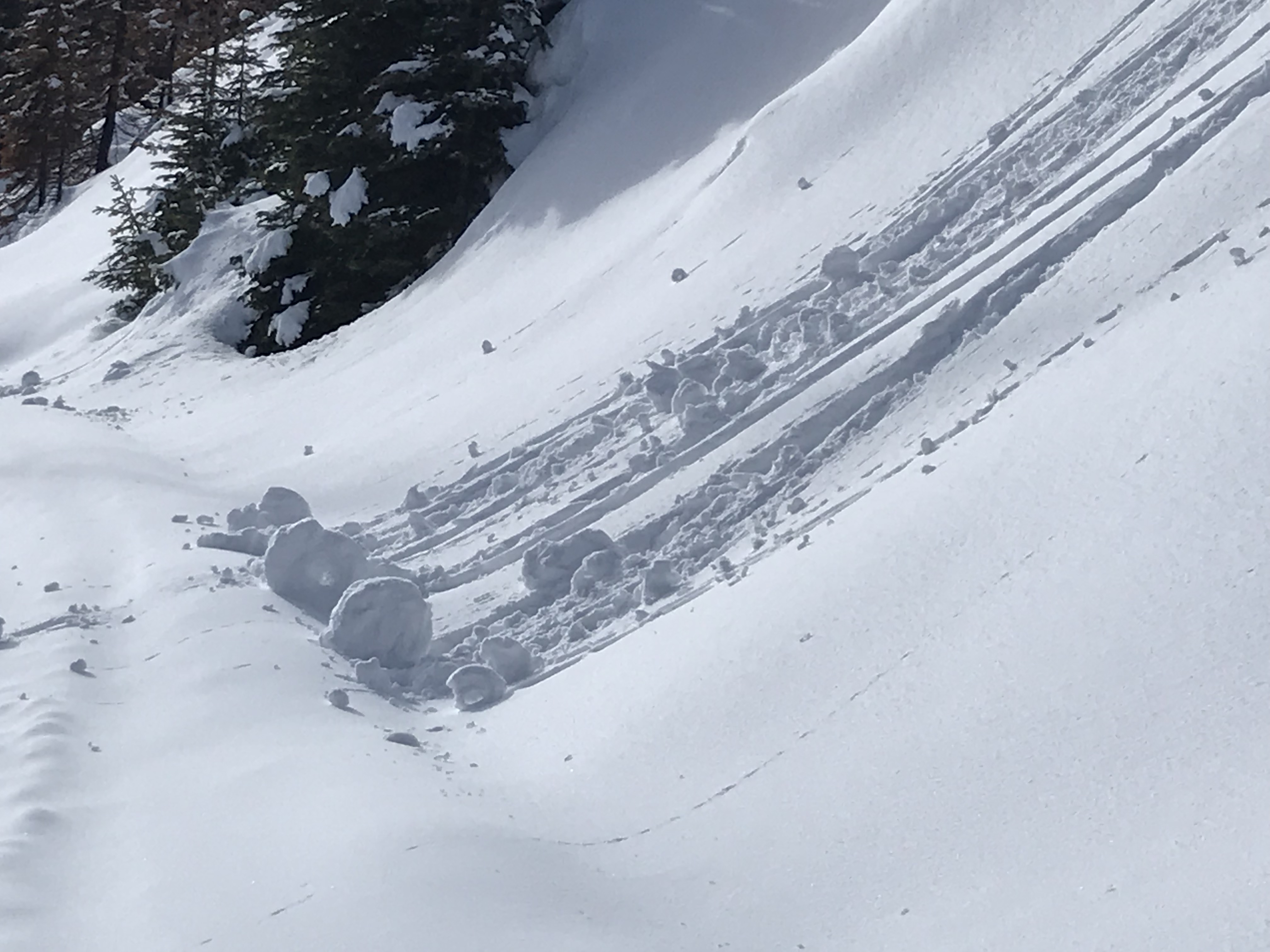
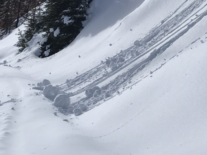
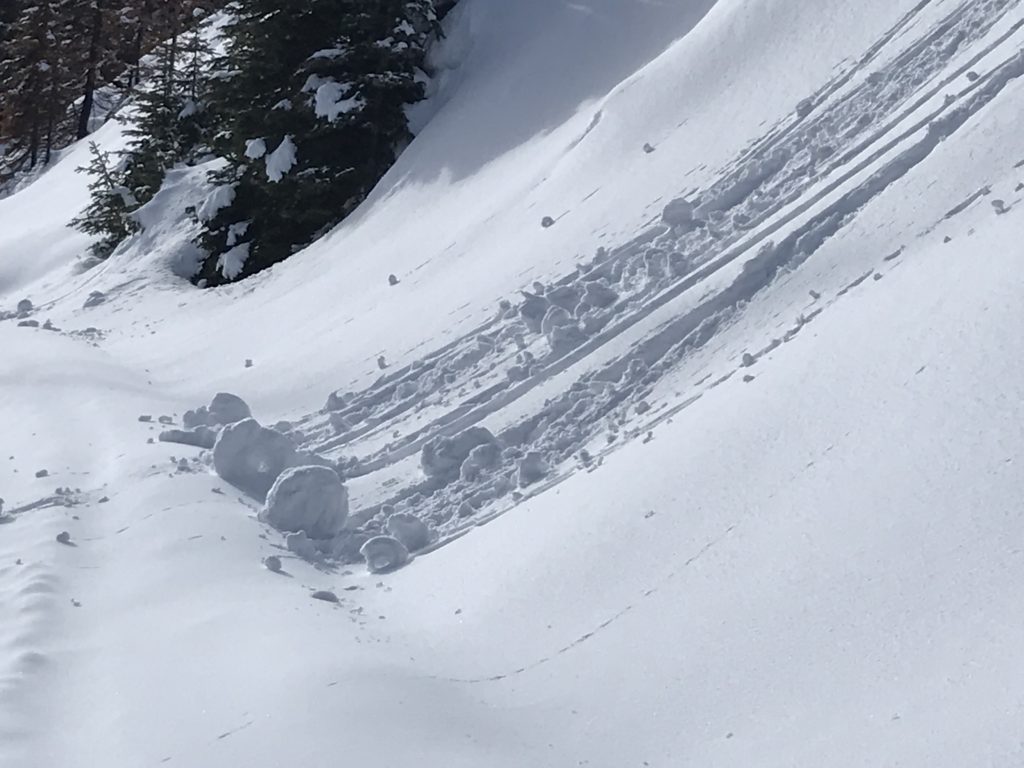
Loose wet avalanches are the third concern today but will be somewhat dependent on the progression of the storm today. With mild temperatures and the possibility of sun affecting the snow surface later in the day today, look for signs of increasing instability as the day progresses. Roller balls and heavy surface snow will develop before you start to see small loose wet avalanches. If you start to see signs of loose snow activity change aspects to cooler ones to decrease your exposure.
Avalanche and Weather Outlook
Strong upper elevation winds today will be accompanied by morning snow. More information regarding the forecast can be found here. The avalanche danger will be increasing today especially for the central Bitterroot, Rattlesnake, Southern Missions and Southern Swan ranges.
The next avalanche advisory will be issued on Saturday, January 27th, 2018.
Ski and ride safe.


