
The current avalanche danger is Considerable in the west central Montana backcountry. Natural avalanches are possible, and human-triggered avalanches remain likely. Cautious route finding and conservative decision making are essential for backcountry travel today.
Good morning, this is Travis Craft with the West Central Montana Avalanche Center’s avalanche advisory for February 03, 2018. This danger rating does not apply to operating ski areas, expires at midnight tonight and is the sole responsibility of the U.S. Forest Service.
Weather and Snowpack
Mountain temperatures range from 29 F to 34 F in the region. In the Bitterroot winds are 11 mph with gusts of 19 mph out of the SW. In the northern part of the advisory area, winds are reading 22 mph with gusts of 24 mph out of the SW. Snotels are not reporting this am. Most data is from midnight and before. Rain has fallen to roughly 6000 feet.
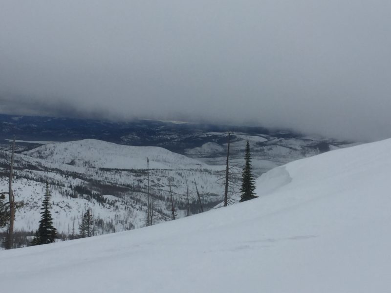
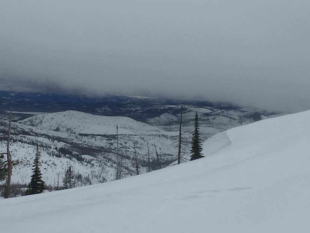
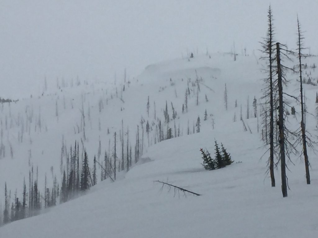
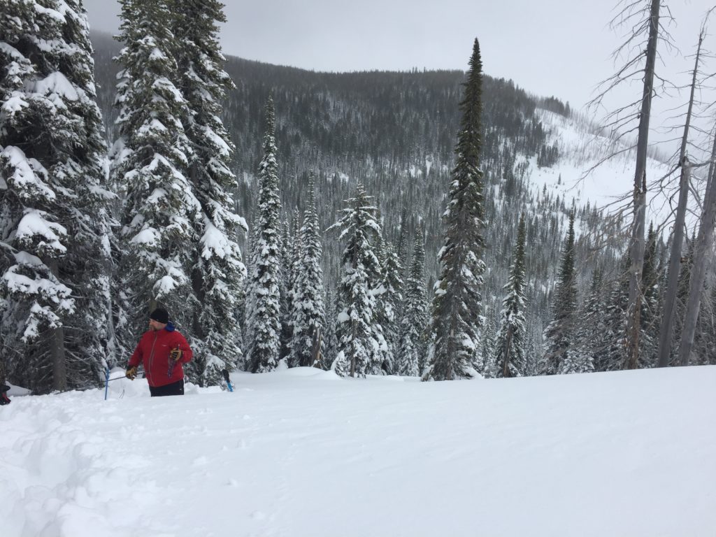
Logan and I took the sleds to the southern Missions yesterday near Seeley Lake. We found 6 new inches of snow and warming temperatures throughout the day. We observed active wind transport of snow and cornice growth. We also saw wet loose releases in the afternoon.
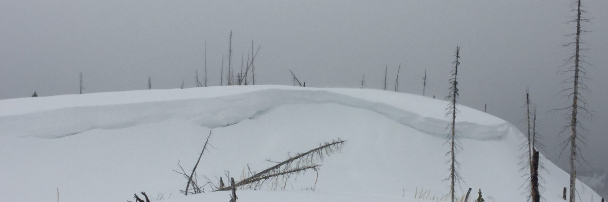
The main avalanche problem is wind slabs. These slabs are large and getting stressed by warming temperatures and the addition of new snow. Look for rounded pillows of snow near ridgelines and on cross-loaded slopes. Recognize signs of instability such as cracking in the surface snow. Avoid traveling on or under wind loaded slopes.
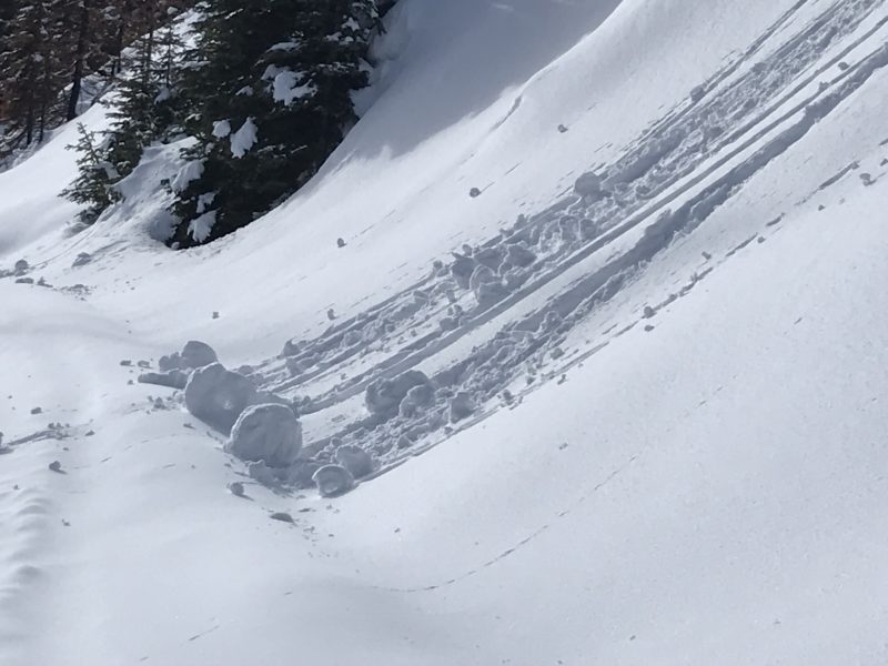
The second avalanche problem is wet loose releases. When slopes start to produce roller balls or pinwheels, it is time to move to another aspect.
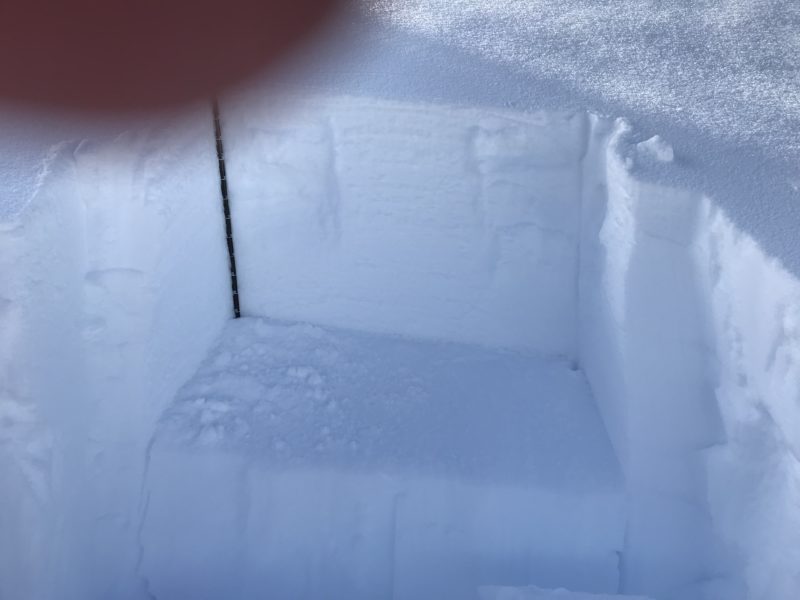
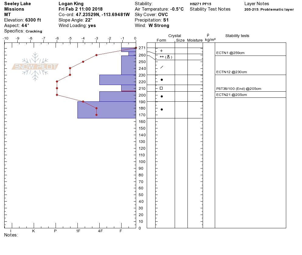
The final avalanche concern is persistent slabs. There are some weak layers in the snowpack that could become reactive with the additional loading of snow or rain. Dig a pit and see how reactive these weak layers are to the new load and warming temperatures.
Overall with the addition of rain and warming temperatures the snowpack can change rapidly. Look for bullseye data today; roller balls, shooting cracks and collapsing, these will identify changing snowpack conditions. There is a lot of uncertainty in how high the rain will fall; therefore today conservative decision making is essential. Pay close attention today as conditions can change quickly in a matter of minutes to hours with rain on snow events.
Avalanche and Weather Outlook
Today rain and snow mix to 6000 feet and above possibly. These conditions will lead to increasing avalanche danger today. See the forecast here.
Ski and ride safe.


