Posted:
Feb 18, 2018 @ 5:36 am

An avalanche warning is in effect for the West Central Montana backcountry. The current avalanche danger is HIGH. Very dangerous avalanche conditions exist. Travel in and around avalanche terrain is not recommended. Large human triggered avalanches are likely in many areas today.

This is Logan King with an avalanche warning for Sunday, February 18th, 2018. This avalanche warning is valid for 24 hours. The avalanche warning will either be extended or terminated at 0600 on February 19th.

This danger rating does not apply to operating ski areas and is the sole responsibility of the U.S. Forest Service.

Weather and Snowpack

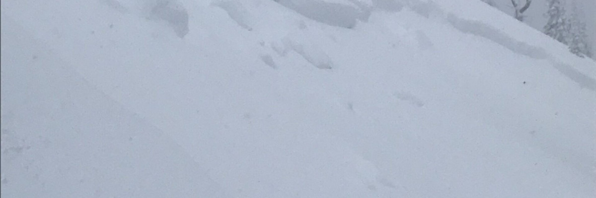
Significant snow and wind continue to impact the region. Snow totals range from 8-14 inches bringing storm totals well over 2 feet in some areas thus far. The new snow has been drier than the last storm but .8-1.9 inches of SWE were added to the snowpack over the last 24 hours, over 3 inches of SWE have been seen at some mountain locations since Friday morning.  Winds are currently out of the W at 12 mph and gusting to 26 mph. A period of strong wind yesterday evening brought sustained winds that were 30-40 mph accompanied by gust up to 68 mph.

Warming temperatures yesterday have resulted in an upside-down structure. The storm slab was reactive yesterday with numerous reports of soft storm slabs that released naturally. The storm snow became more reactive later in the day and will be even more sensitive today with more load.

Wind slabs were touchy earlier this week and will be under more stress with the new load and strong winds further building the slabs. Winds will change directions today, and wind slabs will be found on all aspects as the storm progresses.

Accumulating snow and building winds will lead to deteriorating conditions. A cold front will move in this morning creating lighter snow, but the load has already pushed the snowpack over the tipping point. The snowpack does not like rapid changes and will be weak for the next few days.

READ FULL ADVISORY  

Problem 1 - Wind Slabs

  • TYPE

    wind-slabs

    Wind Slabs

    Release of a cohesive layer of snow (a slab) formed by the wind.  Wind typically erodes snow from the upwind sides of terrain features and deposits snow on the downwind side.  Wind slabs are often smooth and rounded and sometimes sound hollow, and can range from soft to hard. Wind slabs that form over a persistent weak layer (surface hoar, depth hoar, or near-surface facets) may be termed Persistent Slabs or may develop into Persistent Slabs.

  • SIZE

    5-6

    2-3 (Large)

    The potential size of avalanche resulting from this problem.

  • LIKELIHOOD

    Likelihood-7

    Very Likely

    The likelihood of an avalanche resulting from this problem.

Wind slabs will be growing in size and distribution and continue to loose strength.

Problem 2 - Storm Slabs

  • TYPE

    storm-slabs

    Storm Slabs

    Release of a soft cohesive layer (a slab) of new snow which breaks within the storm snow or on the old snow surface. Storm-slab problems typically last between a few hours and few days. Storm-slabs that form over a persistent weak layer (surface hoar, depth hoar, or near-surface facets) may be termed Persistent Slabs or may develop into Persistent Slabs.

  • SIZE

    4-5

    2 (Large)

    The potential size of avalanche resulting from this problem.

  • LIKELIHOOD

    Likelihood-5

    Likely

    The likelihood of an avalanche resulting from this problem.

The new snow will need more time to settle and bond.

FORECAST & OUTLOOK

Colder temperatures with increasing snow and shifting winds.

This information is the sole responsibility of the Forest Service and does not apply to operating ski areas. The avalanche danger rating expires at midnight tonight but the information can help you make a more informed decision regarding travel in avalanche terrain for the next few days.

Our advisory area includes National Forest System lands in the Bitterroot Mountains from Lost Trail Pass north to Granite Pass, the Rattlesnake Mountains north of Missoula and the Southern Swan and Mission Mountains near Seeley Lake, MT. Avalanche information for the Lookout Pass/St. Regis Basin area is available from the Idaho Panhandle Avalanche Center.