Posted:
Feb 22, 2018 @ 5:55 am

The current avalanche danger is MODERATE in the west central Montana backcountry. Human triggered avalanches are possible.  Heightened avalanche conditions exist on specific terrain features.  Evaluate snow and terrain carefully and identify features of concern.

Good morning, this is Travis Craft with the West Central Montana Avalanche Center’s avalanche advisory for February 22, 2018.  This danger rating does not apply to operating ski areas, expires at midnight tonight and is the sole responsibility of the U.S. Forest Service.

Weather and Snowpack

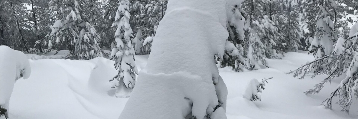
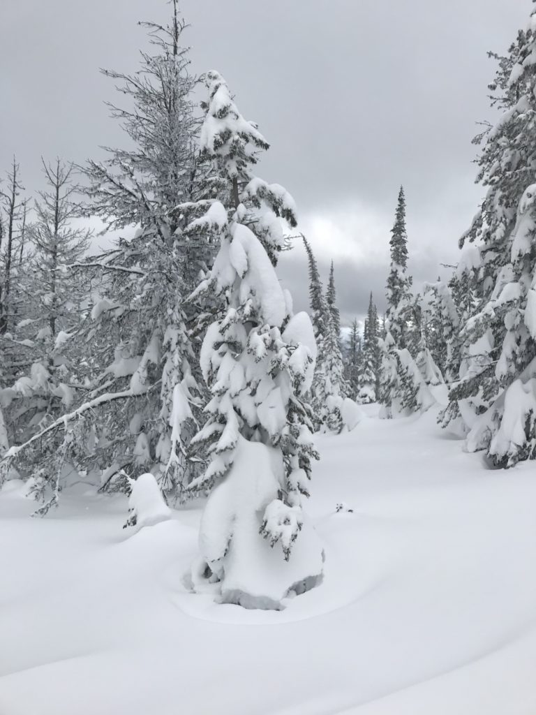
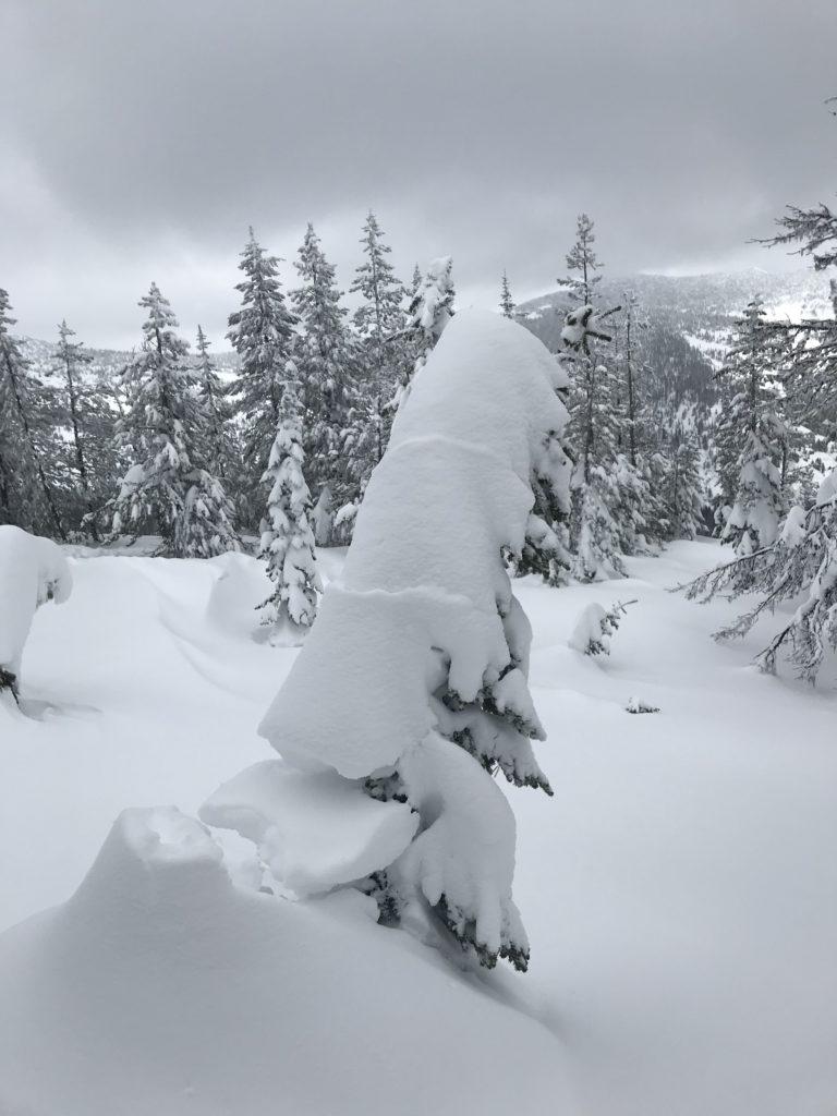
Mountain temperatures range from -2 F to 10 F in the region.  In the Bitterroot winds are 2 mph with gusts of 3 mph out of the SE.  In the northern part of the advisory area, winds are reading 1 mph with gusts of 4 mph out of the SE.  The forecast area received 0 to 1 inch of new snow in the last 24 hours.

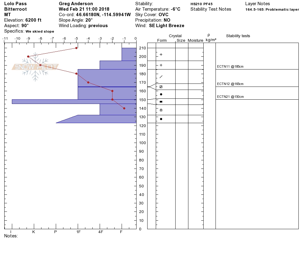
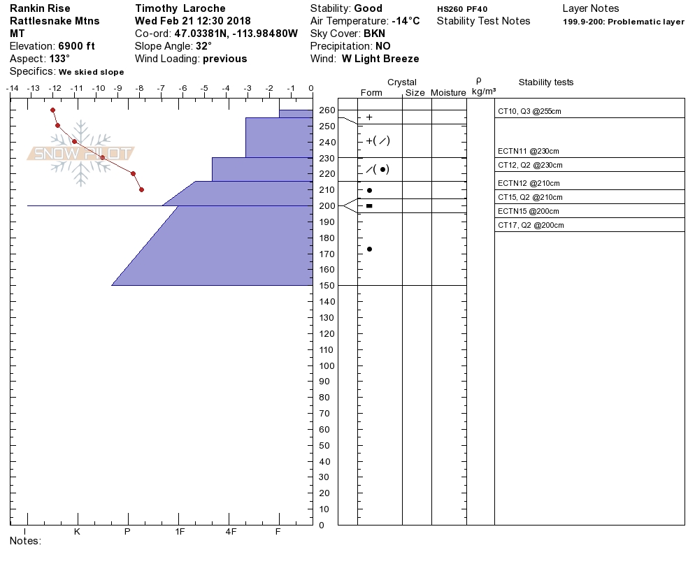
Tim and Steve went to the Rattlesnake yesterday. Greg and Theo went to G spot near Lolo Pass. Logan and I went to Seeley Lake. Tim and Steve found the storm slabs were well bonded. Greg and Theo found the persistent weak layers to be unreactive in tests and had no bullseye data for instability either. Logan and I had mechanical failures with the snow machines and were not able to look at conditions.

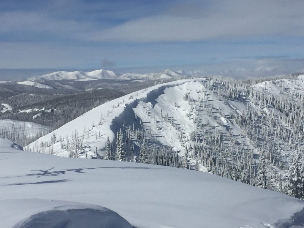
The primary concern is wind slabs. Identify wind loaded terrain. Look for rounded pillows of snow near ridgelines and on cross-loaded slopes. Recognize signs of instability such as cracking in the surface snow.

The second avalanche problem is persistent slabs. Before committing to a steep slope, dig a pit 3 feet down and identify any layers of concern, and see if they are reactive in pit tests.

Overall our snowpack is strengthening. The weak layers in the snowpack are becoming less reactive in pit tests. We are not getting reports of human-triggered avalanches or naturals in the days after the storm. The instabilities in our snowpack are decreasing. Identify wind loaded terrain. Dig a pit to check for persistent weak layers before committing to any steep slope.

Avalanche and Weather Outlook

We will have some new snow over the next couple of days. See the forecast here. Look for the avalanche danger to stay the same with these light accumulations. I will issue the advisory on Saturday, February 24.

If you are out in the backcountry, please send us your observation, these are very helpful in producing the advisory.

Ski and ride safe.

READ FULL ADVISORY  

Problem 1 - Wind Slabs

  • TYPE

    wind-slabs

    Wind Slabs

    Release of a cohesive layer of snow (a slab) formed by the wind.  Wind typically erodes snow from the upwind sides of terrain features and deposits snow on the downwind side.  Wind slabs are often smooth and rounded and sometimes sound hollow, and can range from soft to hard. Wind slabs that form over a persistent weak layer (surface hoar, depth hoar, or near-surface facets) may be termed Persistent Slabs or may develop into Persistent Slabs.

  • SIZE

    4-5

    2 (Large)

    The potential size of avalanche resulting from this problem.

  • LIKELIHOOD

    Likelihood-3

    Possible

    The likelihood of an avalanche resulting from this problem.

Identify wind loaded terrain. Look for rounded pillows of snow near ridgelines and on cross-loaded slopes. Recognize signs of instability such as cracking in the surface snow.


Problem 2 - Persistent Slabs

  • TYPE

    persistent-slabs

    Persistent Slabs

    Release of a cohesive layer of soft to hard snow (a slab) in the middle to upper snowpack, when the bond to an underlying persistent weak layer breaks.  Persistent layers include: surface hoar, depth hoar, near-surface facets, or faceted snow. Persistent weak layers can continue to produce avalanches for days, weeks or even months, making them especially dangerous and tricky. As additional snow and wind events build a thicker slab on top of the persistent weak layer, this avalanche problem may develop into a Persistent, Deep-Slab.

  • SIZE

    4-5

    2 (Large)

    The potential size of avalanche resulting from this problem.

  • LIKELIHOOD

    Likelihood-2

    Unlikely/Possible

    The likelihood of an avalanche resulting from this problem.

Before committing to a steep slope, dig a pit 3 feet down and identify any layers of concern, and see if they are reactive in pit tests.

Observations 2/21/2018

FORECAST & OUTLOOK

We will have some new snow over the next couple of days. See the forecast here. Look for the avalanche danger to stay the same with these light accumulations. I will issue the advisory on Saturday, February 24.

If you are out in the backcountry, please send us your observation, these are very helpful in producing the advisory.


This information is the sole responsibility of the Forest Service and does not apply to operating ski areas. The avalanche danger rating expires at midnight tonight but the information can help you make a more informed decision regarding travel in avalanche terrain for the next few days.

Our advisory area includes National Forest System lands in the Bitterroot Mountains from Lost Trail Pass north to Granite Pass, the Rattlesnake Mountains north of Missoula and the Southern Swan and Mission Mountains near Seeley Lake, MT. Avalanche information for the Lookout Pass/St. Regis Basin area is available from the Idaho Panhandle Avalanche Center.