

The current avalanche danger is MODERATE for the West Central Montana backcountry. Avalanches are possible in specific terrain. Evaluate snow and terrain carefully to identify locations of heightened concern.
Good morning, this is Logan King with the West Central Montana Avalanche Center’s avalanche advisory for February 27th, 2018. This danger rating does not apply to operating ski areas, expires at midnight tonight and is the sole responsibility of the U.S. Forest Service.
Weather and Snowpack
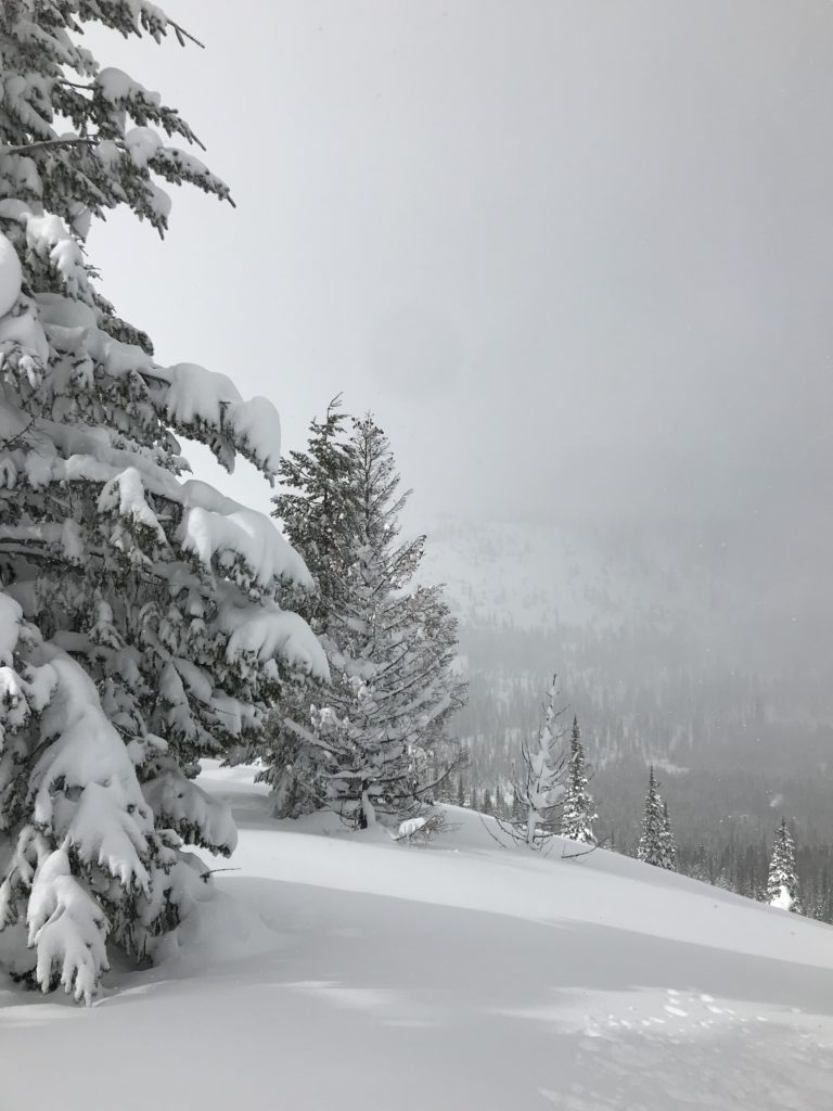
The heavy snowfall has subsided and an additional 1-4 inches of snow accumulated overnight. Mountain temperatures this morning range from 2-14 degrees. Winds are out of the West at 19 mph gusting to 29 mph at Point 6.
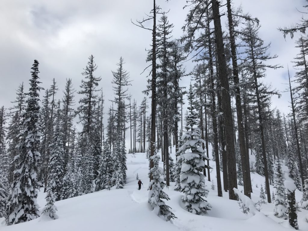
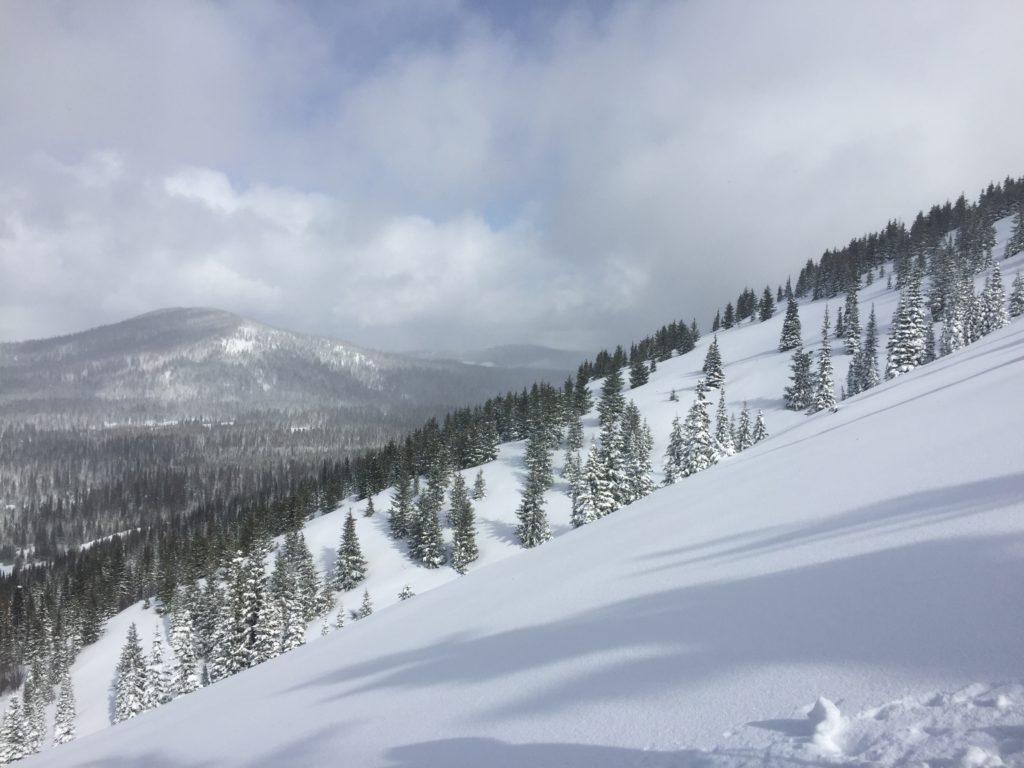
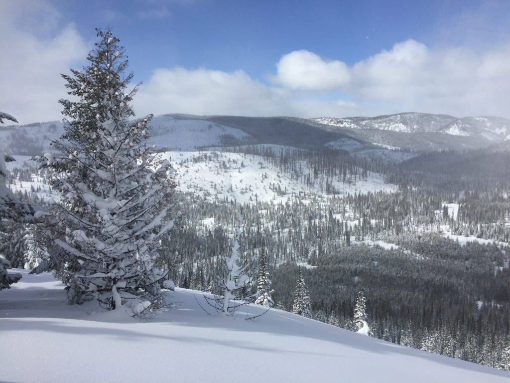
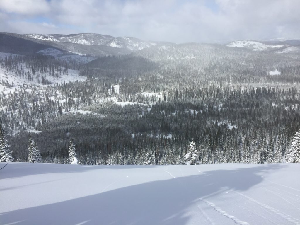
Since Friday the region has received a substantial amount of new snow. The snow has been light and low density and lacks cohesion. The takeaway is that there are weak layers, but the slabs required to create avalanches of significant concern are lacking. I toured around Lolo pass yesterday, Travis and Tim were riding near Twin Lakes, Matt was teaching in the Lost Trail backcountry, and we had a mechanized level 1 at Granite Pass this weekend. There were also numerous public observations over the past few days. There has been plenty of new snow, but the observations generally indicate continued bonding and a settling snowpack with a couple of avalanche problems to look out for.
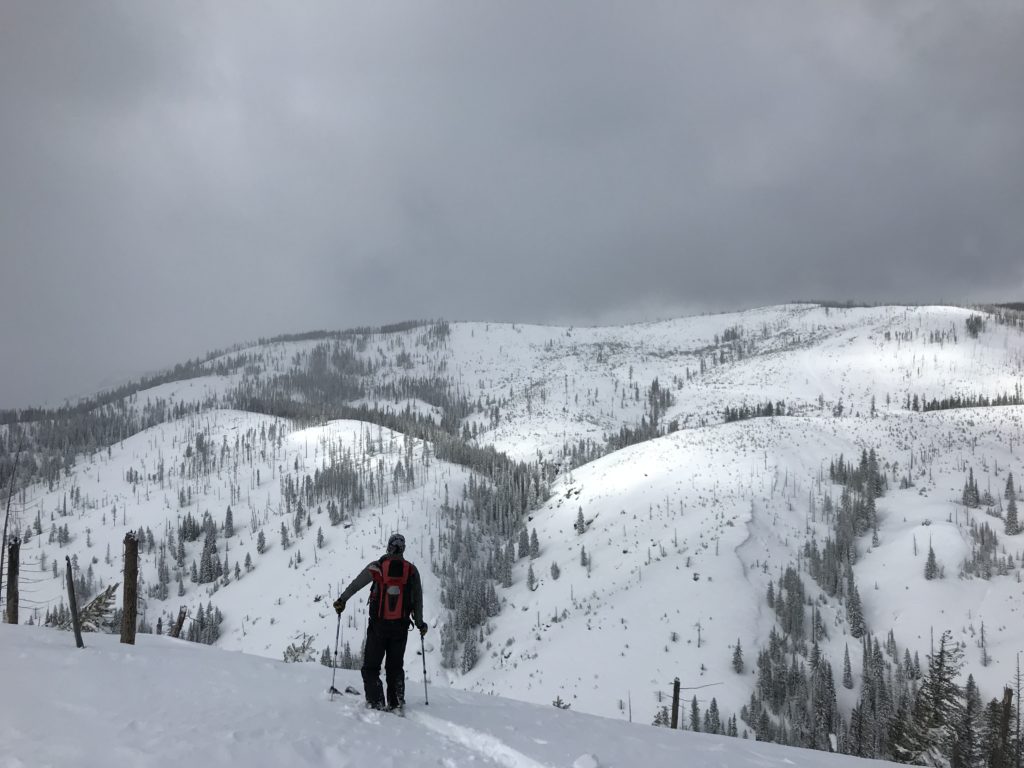
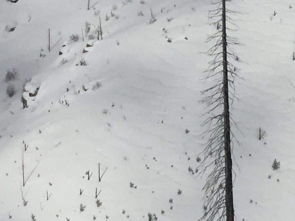
Areas where wind has been able to affected the snow and create even slightly stiffer wind slabs, will be the primary concern. There are plenty of weak layers in the extremely dry/light snowpack but they require a slab stiff enough to transfer the energy creating propagation, and ultimately slab avalanches. Look for any cohesiveness in the slab on wind loaded terrain to identify the areas of greatest concern. Winds have been variable and produced small-large wind slabs in isolated areas. Look for signs of loading on terrain features before entering avalanche terrain.
Persistent weak layers are the secondary concern today. As stated before there are weak layers in the snowpack that can be suspect if there is a slab above them. Two of the noteworthy weak layers are facets that have developed on or near the uppermost melt-freeze crust and the cold preserved snow from the last storm cycle. This problem is more widespread than the wind slabs but is harder to identify and less reactive. Take a quick minute to dig a pit and perform stability test to identify if these layers are present and have the potential to fail.
Avalanche and Weather Outlook
More settled conditions look to linger through the day today before another pulse of moisture sets up tonight and into tomorrow. Without any significant changes in the immediate future, the avalanche danger will remain the same.
If you are out in the backcountry, please send us your observation, these are very helpful in producing the advisory.
Ski and ride safe.


