
The current avalanche danger is MODERATE in the west central Montana backcountry. Human triggered avalanches are possible. Heightened avalanche conditions exist on specific terrain features. Evaluate snow and terrain carefully and identify features of concern.
Good morning, this is Travis Craft with the West Central Montana Avalanche Center’s avalanche advisory for March 06, 2018. This danger rating does not apply to operating ski areas, expires at midnight tonight and is the sole responsibility of the U.S. Forest Service.
Weather and Snowpack
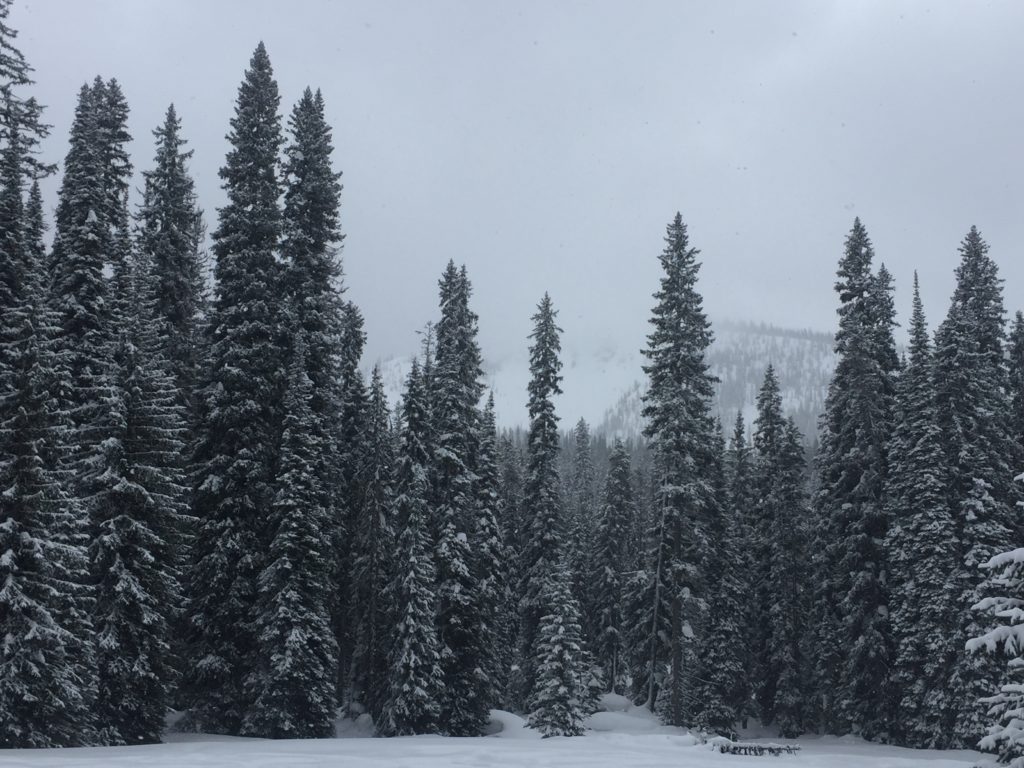
Mountain temperatures range from 15 F to 21 F in the region. In the Bitterroot winds are 5 mph with gusts of 11 mph out of the SSW. In the northern part of the advisory area, winds are reading 8 mph with gusts of 15 mph out of the NNW. The forecast area received 1 to 6 inches of new snow in the last 24 hours.
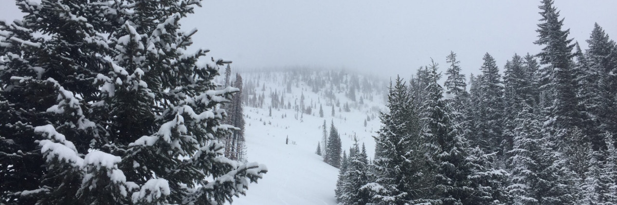
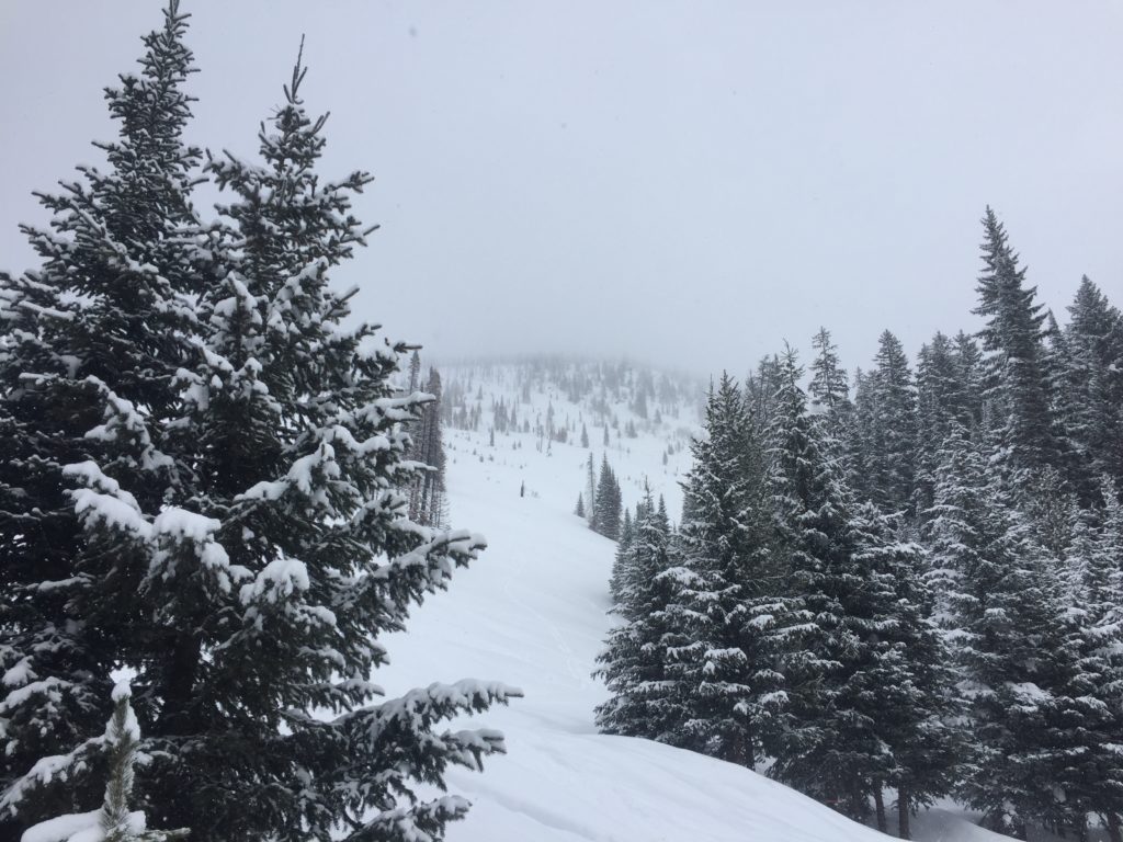
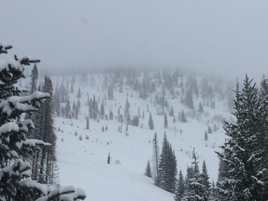
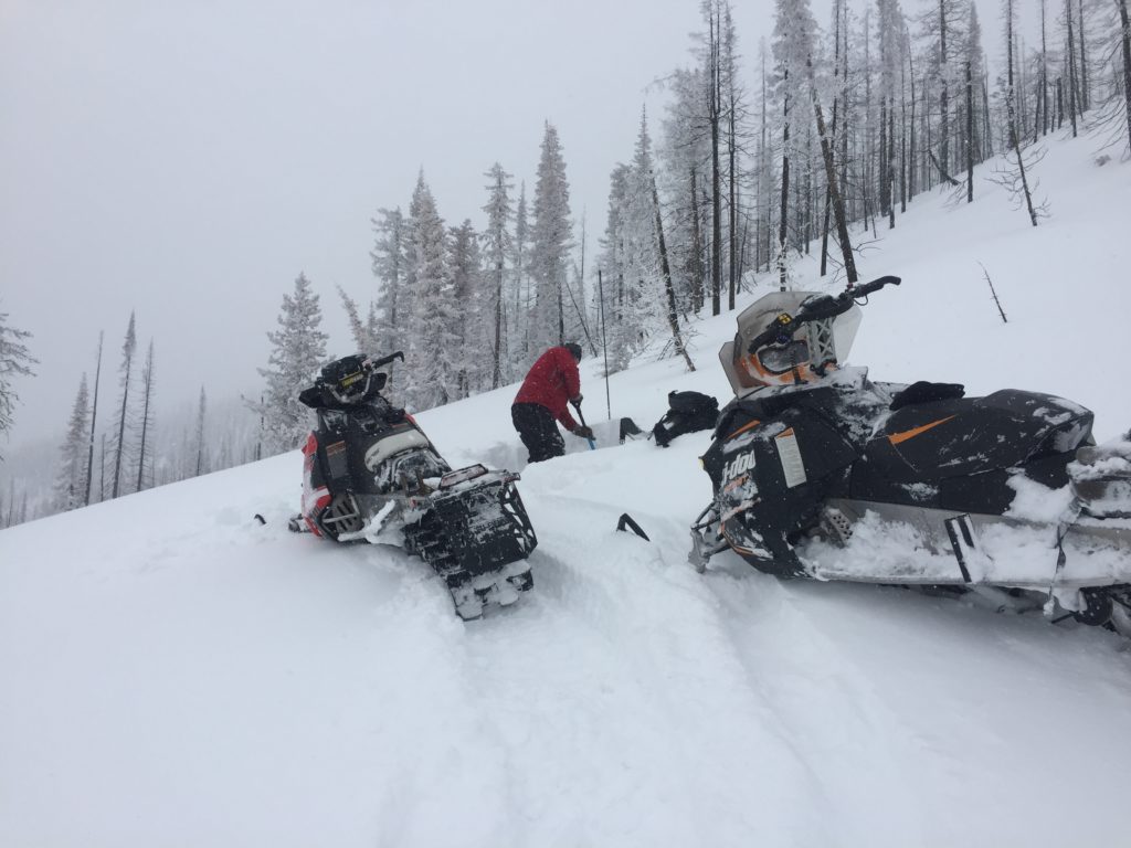
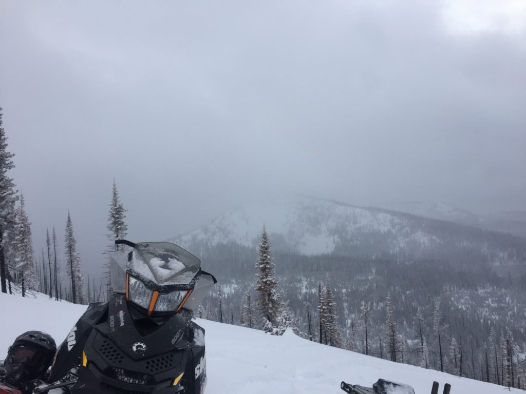
Logan and I took the sleds to the Brushy Fork in the central Bitterroot yesterday. Tim went to the Rattlesnake. We all found wind loaded terrain to be the primary avalanche problem. Logan and I experienced intense snow banding yesterday. There are weak layers in our snowpack, but they were unreactive in our pit tests. We got several public observations from the weekend of similar problems. Overall our snowpack is relatively stable.
The primary avalanche problem is wind slabs. Identify wind loaded terrain. Look for rounded pillows of snow near ridgelines and on cross-loaded slopes. Recognize signs of instability such as cracking in the surface snow. It is possible to cause a slab avalanche on wind loaded terrain today.
Overall our snowpack is relatively stable. Identify wind loaded terrain. Dig a pit 3 feet deep before committing to any steep terrain(>35 degrees). Use small test slopes to see how the new snow is bonding to old snow surfaces. Cornices are very large this time of year and unpredictable in failure, give them a wide berth. Loose snow avalanches should not be a problem unless they knock you down and take you into terrain trap.
Avalanche and Weather Outlook
Light snow banding today. See the forecast here. Look for the avalanche danger to stay the same with these light accumulations. I will issue the advisory on Thursday, March 08.
If you are out in the backcountry, please send us your observation, these are very helpful in producing the advisory.
Ski and ride safe.


