
The current avalanche danger is LOW for the west central Montana backcountry. Low danger does not mean no Avalanche danger. Use safe travel protocols, only exposing one person to a slope at a time. Look for loose wet avalanches to be the primary concern with warming temperatures below 6000 feet.
Good morning, this is Travis Craft with the West Central Montana Avalanche Center’s avalanche advisory for March 08, 2018. This danger rating does not apply to operating ski areas, expires at midnight tonight and is the sole responsibility of the U.S. Forest Service.
Weather and Snowpack
Mountain temperatures range from 25 F to 32 F in the region. In the Bitterroot winds are 11mph with gusts of 17 mph out of the SW. In the northern part of the advisory area, winds are reading 9 mph with gusts of 20 mph out of the NW. The forecast area received no new snow in the last 24 hours.
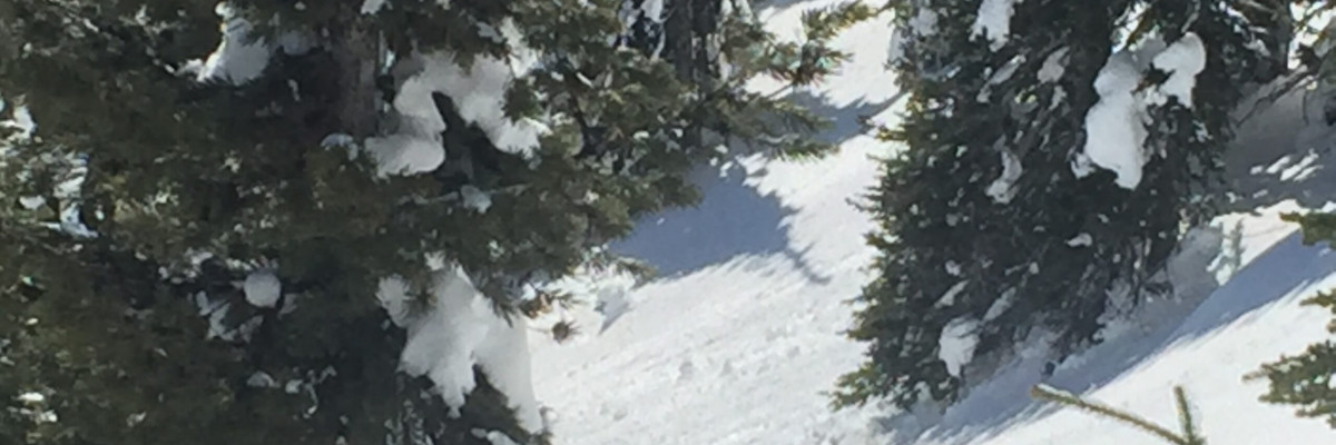
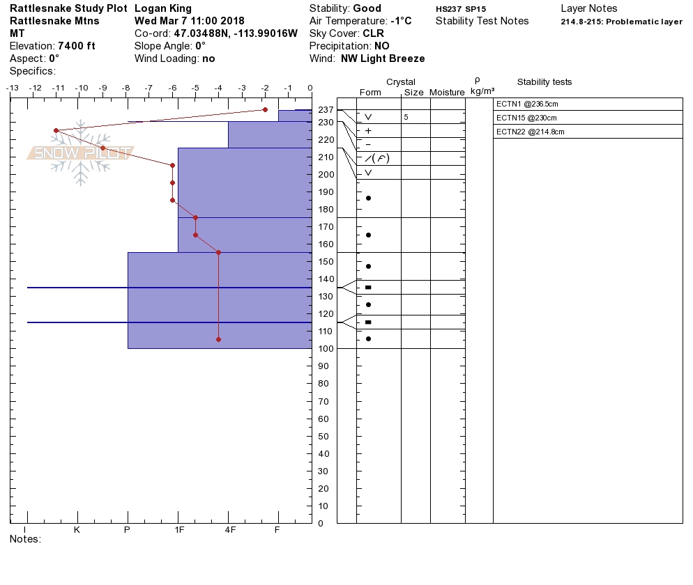
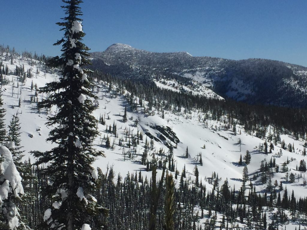
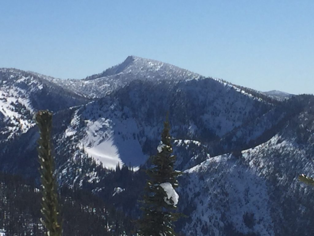
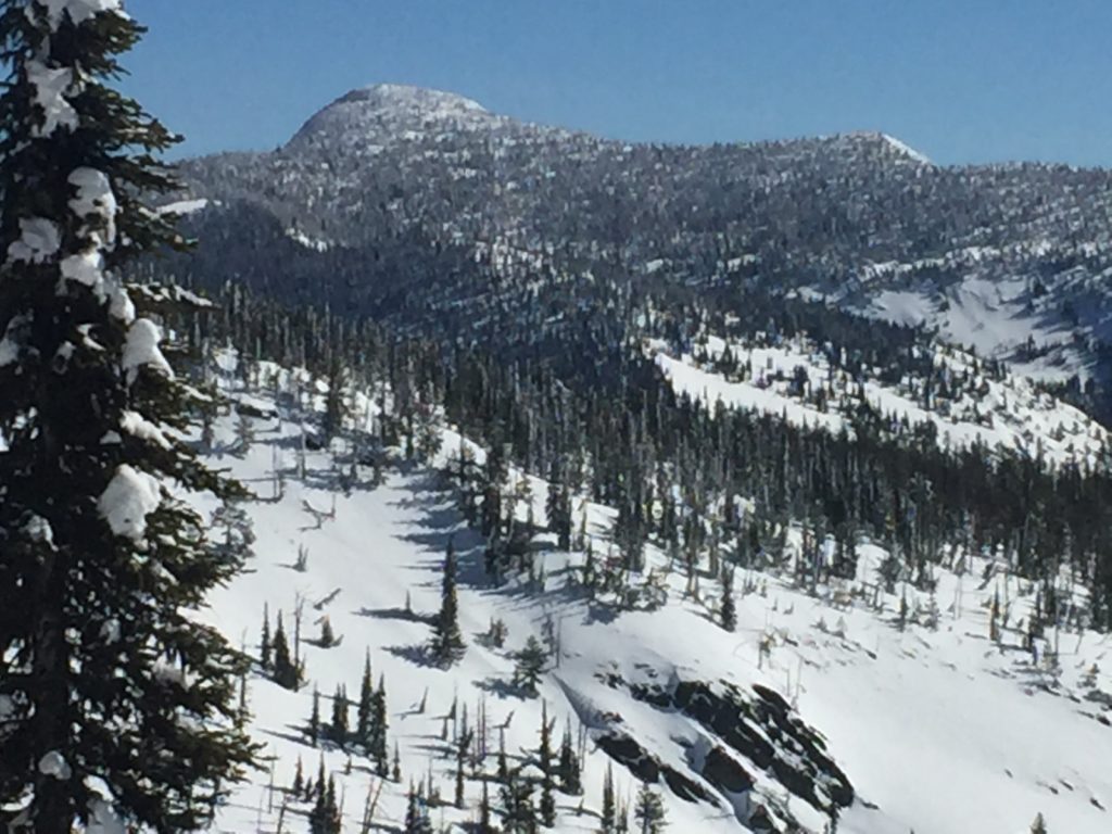
Logan and I were in the Rattlesnake yesterday. Tim and Greg went to Mt. Fuji near Lolo Pass. We all found our snowpack to be relatively stable. The primary avalanche problem was loose wet avalanches on southern exposed slopes. We were not able to get any propagations in our pit tests.
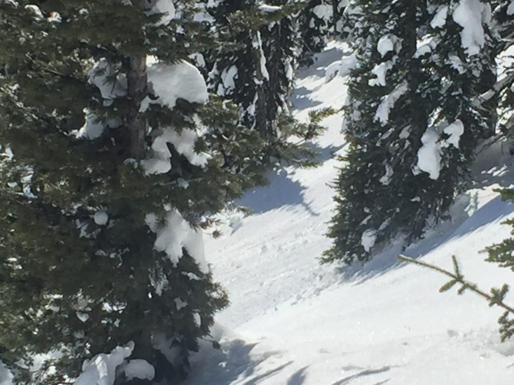
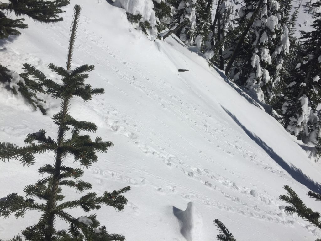
The primary avalanche problem is loose wet avalanches on slopes below 6000 feet. Snotels showed that all sites froze overnight and temperatures are rising. Rollerballs will be signs of surface instabilities. If you see pinwheels, it is time to change aspects or get to higher elevations.
Overall the snowpack is well consolidated. Cornices are big right now give them a wide berth. With warming temperatures, these large cornices are weakening. Dig a pit 3 feet down before committing to any steep terrain. Use safe travel protocols, only exposing one person to a slope at a time.
Avalanche and Weather Outlook
Later today a warm wet system will move into the region. See the forecast here. This new snow will fall on a variety of old snow surfaces from sun crusts to surface hoar. Use small test slopes to see how the new snow is bonding to old snow surfaces. With the addition of fresh snow or rain below 5000 feet look for the avalanche danger to increase. Pay attention to weather changes that can change the avalanche danger such as wind and additional loading from snow.
If you are out in the backcountry, please send us your observation, these are very helpful in producing the advisory.
Ski and ride safe.


