Posted:
Mar 10, 2018 @ 6:11 am

The avalanche danger is CONSIDERABLE for the West Central Montana backcountry on wind loaded slopes. Strong winds and significant snow are creating dangerous avalanche conditions, making human-triggered avalanches likely on leeward slopes. All other slopes the danger is moderate.Careful snowpack evaluation, cautious route-finding, and conservative decision-making are essential for travel in the backcountry today.

Good morning, this is Travis Craft with the West Central Montana Avalanche Center’s avalanche advisory for March 10, 2018.  This danger rating does not apply to operating ski areas, expires at midnight tonight and is the sole responsibility of the U.S. Forest Service.

Weather and Snowpack

Mountain temperatures range from 15 F to 21 F in the region. In the Bitterroot winds are 6 mph with gusts of 8 mph out of the SW.  In the northern part of the advisory area, winds are reading 9 mph with gusts of 14 mph out of the NW. The forecast area received 6 to 12 inches of new snow in the last 24 hours.

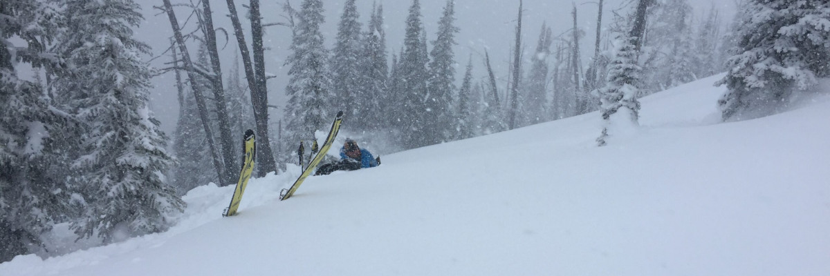
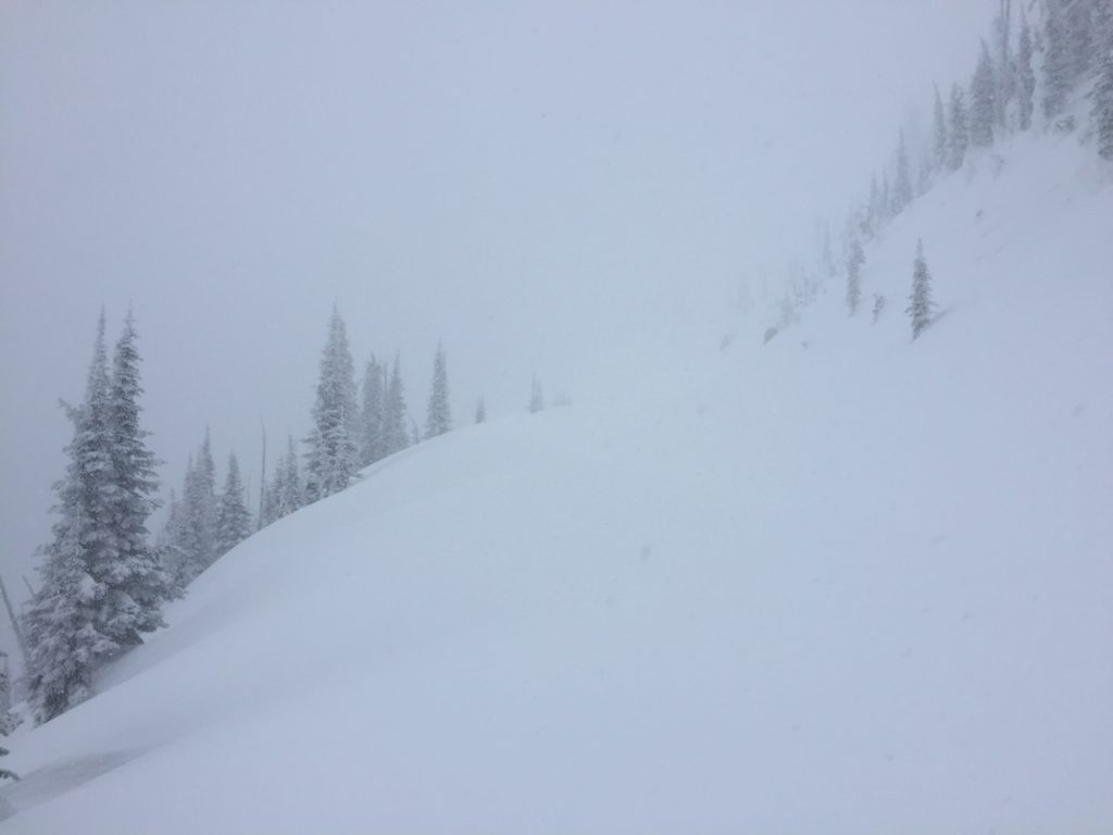
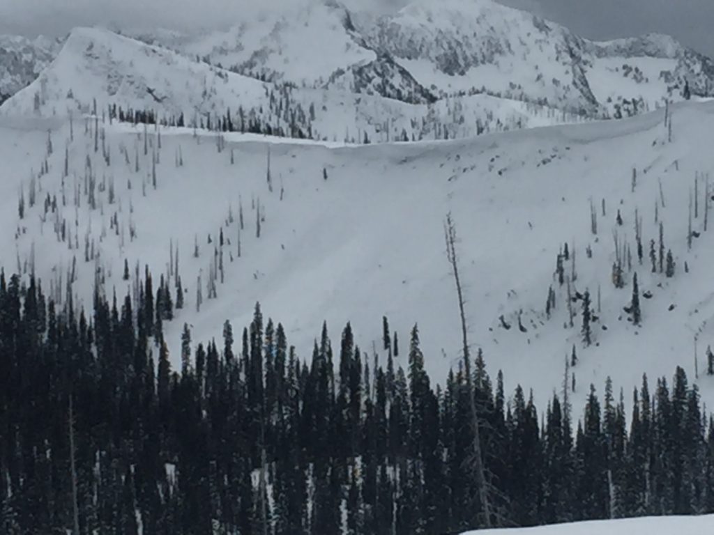
Logan and I toured in the Rattlesnake yesterday. We found very sensitive wind slabs. The storm came into the area with considerable winds. Look for leeward slopes to have small to large wind slabs. We got shooting cracks from our skis.

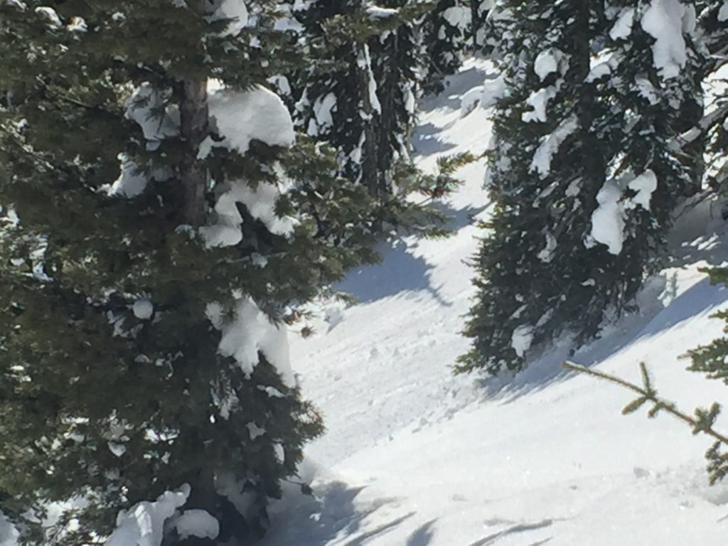
The primary avalanche problem today is wind slabs. Leeward terrain was loaded yesterday. Look for shooting cracks from skis or machine to identify instabilities. Identify wind loaded terrain. Look for rounded pillows of snow near ridgelines and on cross-loaded slopes. Recognize signs of instability such as cracking in the surface snow. It is possible to cause a slab avalanche on wind loaded terrain today.

The second avalanche problem is loose wet. Rollerballs will be signs of surface instabilities. If you see pinwheels, it is time to change aspects.

Overall our snowpack is relatively stable. Identify wind loaded terrain. Dig a pit 3 feet deep before committing to any steep terrain(>35 degrees). Use small test slopes to see how the new snow is bonding to old snow surfaces. Cornices are very large this time of year and unpredictable in failure, give them a wide berth. Loose snow avalanches should not be a problem unless they knock you down and take you into a terrain trap.

Avalanche and Weather Outlook

Warm temperatures and sun for the next couple of days. See the forecast here. Wind slabs will be less sensitive to human triggers. With Freezing overnight and solar activity, look for loose wet avalanches to be the primary concern.

If you are out in the backcountry, please send us your observation, these are very helpful in producing the advisory.

Ski and ride safe.


READ FULL ADVISORY  

Problem 1 - Wind Slabs

  • TYPE

    wind-slabs

    Wind Slabs

    Release of a cohesive layer of snow (a slab) formed by the wind.  Wind typically erodes snow from the upwind sides of terrain features and deposits snow on the downwind side.  Wind slabs are often smooth and rounded and sometimes sound hollow, and can range from soft to hard. Wind slabs that form over a persistent weak layer (surface hoar, depth hoar, or near-surface facets) may be termed Persistent Slabs or may develop into Persistent Slabs.

  • SIZE

    3-4

    1-2 (Small-Large)

    The potential size of avalanche resulting from this problem.

  • LIKELIHOOD

    Likelihood-5

    Likely

    The likelihood of an avalanche resulting from this problem.

Leeward terrain was loaded yesterday. Look for shooting cracks from skis or machine to identify instabilities. Identify wind loaded terrain. Look for rounded pillows of snow near ridgelines and on cross-loaded slopes. Recognize signs of instability such as cracking in the surface snow. It is possible to cause a slab avalanche on wind loaded terrain today.

Problem 2 - Loose Wet

  • TYPE

    loose-wet

    Loose Wet

    Release of wet unconsolidated snow or slush. These avalanches typically occur within layers of wet snow near the surface of the snowpack, but they may quickly gouge into lower snowpack layers. Like Loose-Dry Avalanches,they start at a point and entrain snow as they move downhill, forming a fan-shaped avalanche. They generally move slowly, but can contain enough mass to cause significant damage to trees, cars or buildings. Other names for loose-wet avalanches include point-release avalanches or sluffs. Loose-wet avalanches can trigger slab avalanches that break into deeper snow layers.

  • SIZE

    2-3

    1 (Small)

    The potential size of avalanche resulting from this problem.

  • LIKELIHOOD

    Likelihood-3

    Possible

    The likelihood of an avalanche resulting from this problem.

Rollerballs will be signs of surface instabilities. If you see pinwheels, it is time to change aspects.

VIDEO

Observations 03/09/2018

Observations 03/09/2018

FORECAST & OUTLOOK

Warm temperatures and sun for the next couple of days. See the forecast here. Wind slabs will be less sensitive to human triggers. With Freezing overnight and solar activity, look for loose wet avalanches to be the primary concern.


This information is the sole responsibility of the Forest Service and does not apply to operating ski areas. The avalanche danger rating expires at midnight tonight but the information can help you make a more informed decision regarding travel in avalanche terrain for the next few days.

Our advisory area includes National Forest System lands in the Bitterroot Mountains from Lost Trail Pass north to Granite Pass, the Rattlesnake Mountains north of Missoula and the Southern Swan and Mission Mountains near Seeley Lake, MT. Avalanche information for the Lookout Pass/St. Regis Basin area is available from the Idaho Panhandle Avalanche Center.