Posted:
Mar 13, 2018 @ 6:01 am

The avalanche danger for the West Central Montana backcountry is Moderate. The danger will be low this morning but will rapidly climb to moderate as the day progresses. Evaluate snow and terrain carefully to identify features of concern. Human triggered avalanches are possible in isolated terrain.

Good morning, this is Logan King with the West Central Montana Avalanche Center’s avalanche advisory for March 13th, 2018. This danger rating does not apply to operating ski areas, expires at midnight tonight and is the sole responsibility of the U.S. Forest Service.

Weather and Snowpack

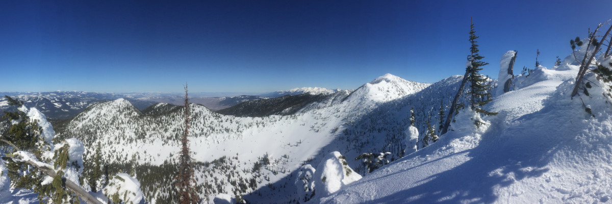
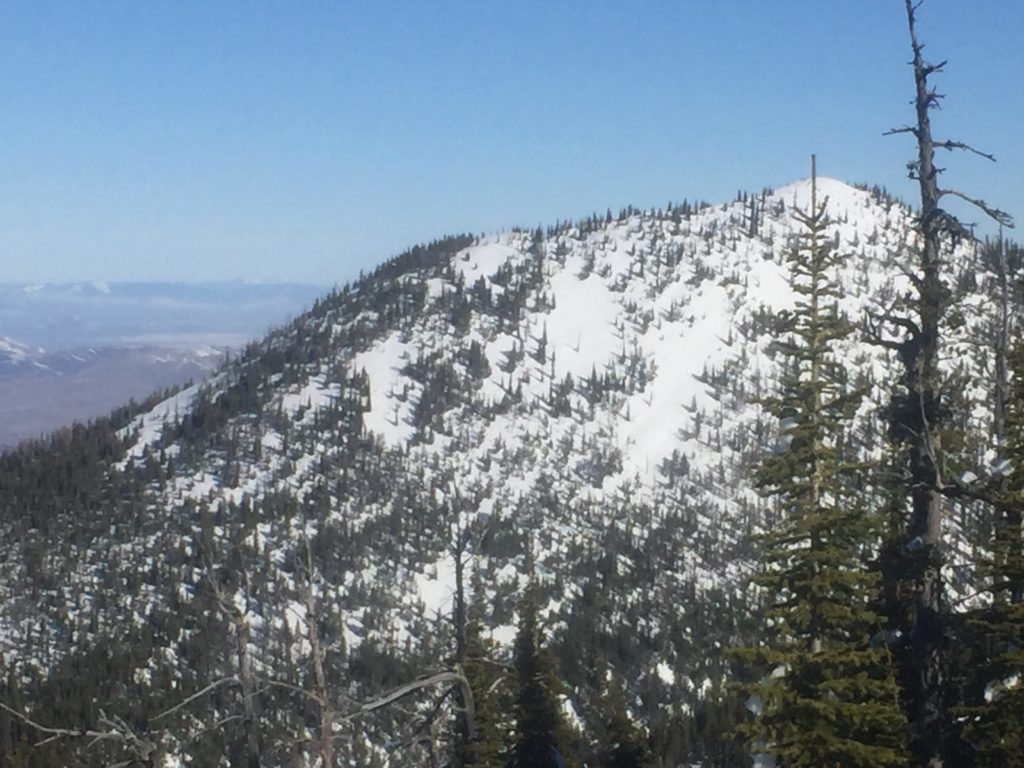
Continued clear conditions have resulted in no new snow across the region. Mountain temperatures this morning range from the teens to low thirties. Winds in the southern Bitterroot are 14 mph gusting to 19 mph from the SE. In the Rattlesnake this morning winds are from the NW at 11 mph gusting to 17 mph.

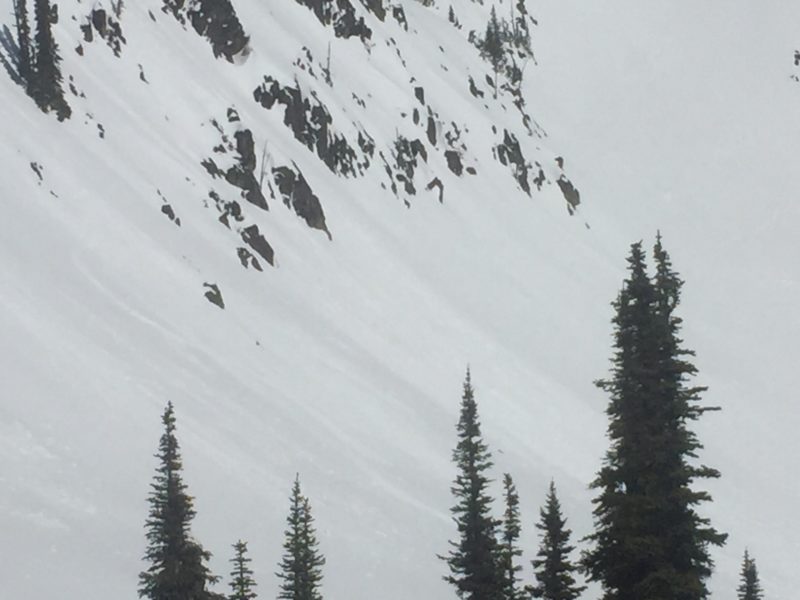
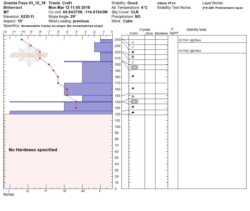
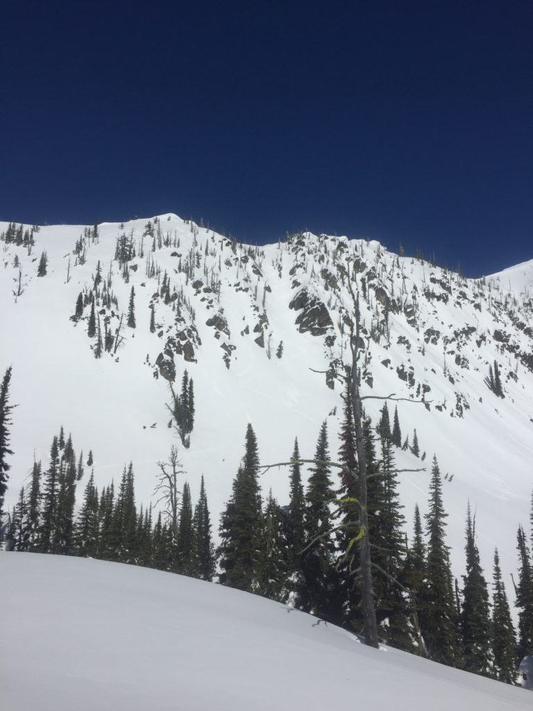
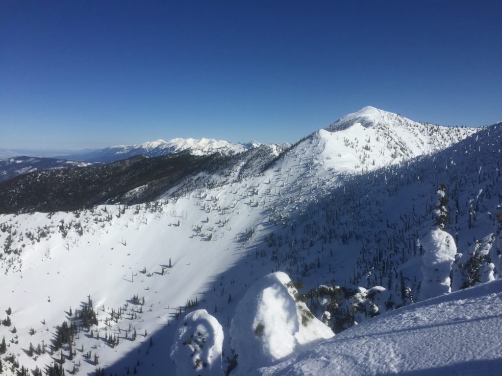
Travis and Theo were riding at Granite Pass yesterday. They found warm snow that produced loose wet activity later in the day and saw a natural windslab that failed on a shaded North aspect. Tim and I toured in the Rattlesnake yesterday and found loose wet avalanches and cornices to be an increasing concern.

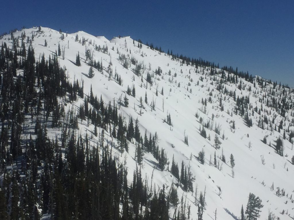
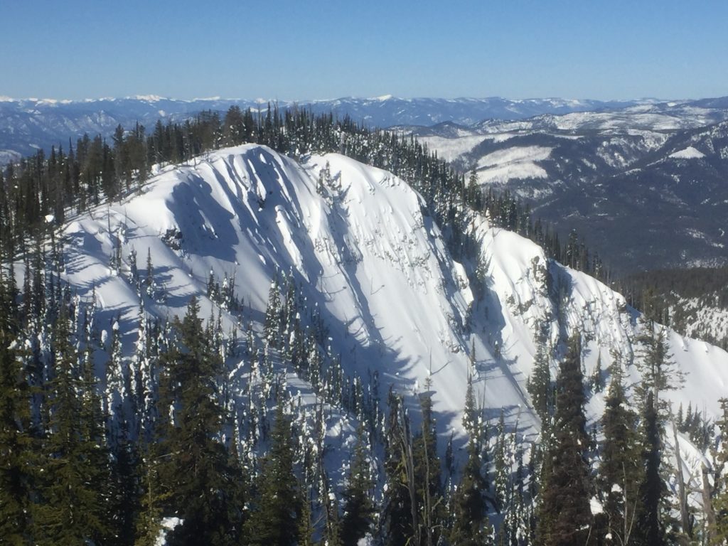
Warm temperatures and significant solar radiation will make loose wet avalanches the main concern today. Loose wet avalanche activity will increase later in the day as the mercury climbs and the sun affects the snow surface. Loose wet avalanches will be easily triggered later in the day on the southern half of the compass. These avalanches can be managed with terrain selection and timing when you choose to recreate or travel in avalanche terrain. Loose wet slides are small but can be dangerous in areas that have terrain traps that increase the consequences of getting caught in a slide.

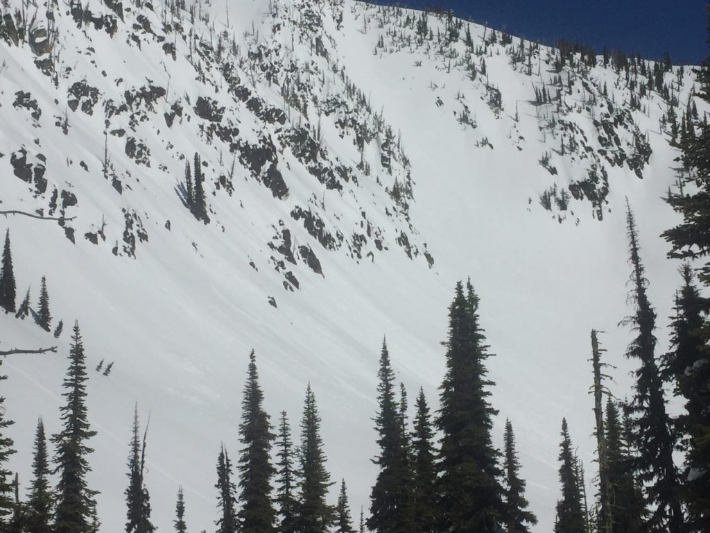
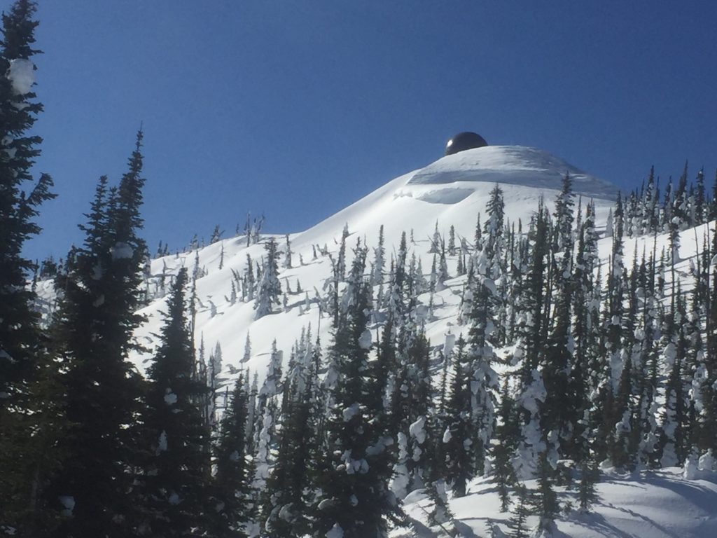
The warm temperatures and clear skies have significantly weakened cornices. Cornices have a nasty habit of breaking back farther than expected and should be treated with respect. Give cornices a wide berth because they are large and can create large avalanches if they fall onto a slope where you are traveling. Avoid traveling on or under cornices especially later in the day.

Wind slabs are the other avalanche concern today. Wind slab activity continues to diminish but can still be triggered in isolated locations. Wind slabs are stubborn but have potential to fail on cold and shaded aspects at upper elevations. Carefully look for signs of wind loaded terrain before committing to avalanche terrain.

Avalanche and Weather Outlook

Warm and sunny conditions today will lead to increasing avalanche danger through the day. A shift to a more active weather pattern looks to develop tomorrow. Wednesday has the potential of rain up to 6,000 feet.

If you are out in the backcountry, please send us your observation, these are very helpful in producing the advisory.

Ski and ride safe.

READ FULL ADVISORY  

Problem 1 - Loose Wet

  • TYPE

    loose-wet

    Loose Wet

    Release of wet unconsolidated snow or slush. These avalanches typically occur within layers of wet snow near the surface of the snowpack, but they may quickly gouge into lower snowpack layers. Like Loose-Dry Avalanches,they start at a point and entrain snow as they move downhill, forming a fan-shaped avalanche. They generally move slowly, but can contain enough mass to cause significant damage to trees, cars or buildings. Other names for loose-wet avalanches include point-release avalanches or sluffs. Loose-wet avalanches can trigger slab avalanches that break into deeper snow layers.

  • SIZE

    1-2

    < 1 (Small)

    The potential size of avalanche resulting from this problem.

  • LIKELIHOOD

    Likelihood-5

    Likely

    The likelihood of an avalanche resulting from this problem.

  • ADDED DANGER

    Increased Slope Danger

    Increased/Added Danger

    There is an increased risk of avalanches on these slopes:

    E - East
    SE - Southeast
    S - South
    SW - Southwest
    W - West

  • IMAGE

Loose wet avalanches are likely after mid-day on warm and sun affected aspects.

Problem 2 - Cornices

  • TYPE

    cornices

    Cornices / Cornice Fall

    Release of an overhanging mass of snow that forms as the wind moves snow over a sharp terrain feature, such as a ridge, and deposits snow on the down-wind side. They range from small wind lips of soft snow to large overhangs of hard snow that are 30 feet (~10 meters) or taller. They can break off the terrain suddenly and pull back onto the ridge top and catch people by surprise even on the flat ground above the slope. Even small cornices can have enough mass to be destructive and deadly. Cornice fall can entrain loose surface snow or trigger slab avalanches.

  • SIZE

    6-7

    3 (Large-Very Large)

    The potential size of avalanche resulting from this problem.

  • LIKELIHOOD

    Likelihood-4

    Possible/Likely

    The likelihood of an avalanche resulting from this problem.

Large cornices are losing strength due to warm temperatures and solar radiation.

Problem 3 - Wind Slabs

  • TYPE

    wind-slabs

    Wind Slabs

    Release of a cohesive layer of snow (a slab) formed by the wind.  Wind typically erodes snow from the upwind sides of terrain features and deposits snow on the downwind side.  Wind slabs are often smooth and rounded and sometimes sound hollow, and can range from soft to hard. Wind slabs that form over a persistent weak layer (surface hoar, depth hoar, or near-surface facets) may be termed Persistent Slabs or may develop into Persistent Slabs.

  • SIZE

    3-4

    1-2 (Small-Large)

    The potential size of avalanche resulting from this problem.

  • LIKELIHOOD

    Likelihood-2

    Unlikely/Possible

    The likelihood of an avalanche resulting from this problem.

  • ADDED DANGER

    Increased Slope Danger

    Increased/Added Danger

    There is an increased risk of avalanches on these slopes:

    N - North
    NE - Northeast
    E - East
    NW - Northwest

Wind Slabs can still be found at upper elevations on shaded and cold aspects.

VIDEO

FORECAST & OUTLOOK

Warm and Sunny conditions will persist today before a more active pattern sets up mid-week.

This information is the sole responsibility of the Forest Service and does not apply to operating ski areas. The avalanche danger rating expires at midnight tonight but the information can help you make a more informed decision regarding travel in avalanche terrain for the next few days.

Our advisory area includes National Forest System lands in the Bitterroot Mountains from Lost Trail Pass north to Granite Pass, the Rattlesnake Mountains north of Missoula and the Southern Swan and Mission Mountains near Seeley Lake, MT. Avalanche information for the Lookout Pass/St. Regis Basin area is available from the Idaho Panhandle Avalanche Center.