Posted:
Mar 15, 2018 @ 6:30 am

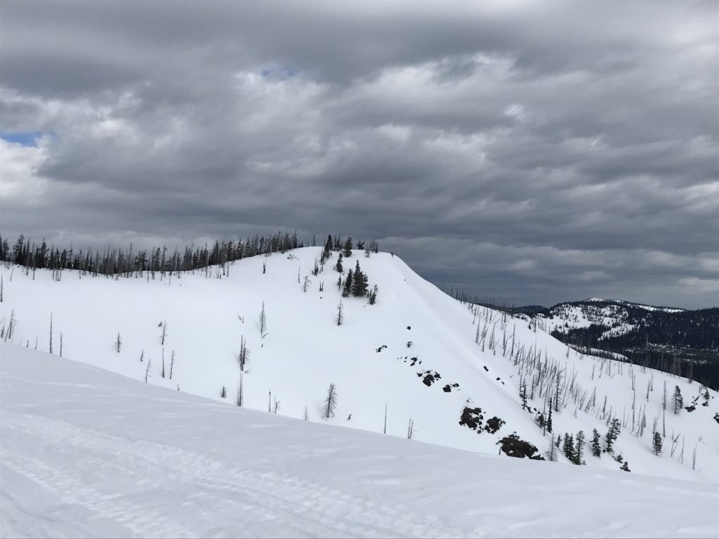
The current avalanche danger is MODERATE for the West Central Montana backcountry. Conditions are variable today an have resulted in heightened avalanche conditions in specific terrain. Carefully evaluate snow conditions to identify areas of increased avalanche potential.

Good morning, this is Logan King with the West Central Montana Avalanche Center’s avalanche advisory for Thursday, March 15th, 2018. This danger rating does not apply to operating ski areas, expires at midnight tonight and is the sole responsibility of the U.S. Forest Service.

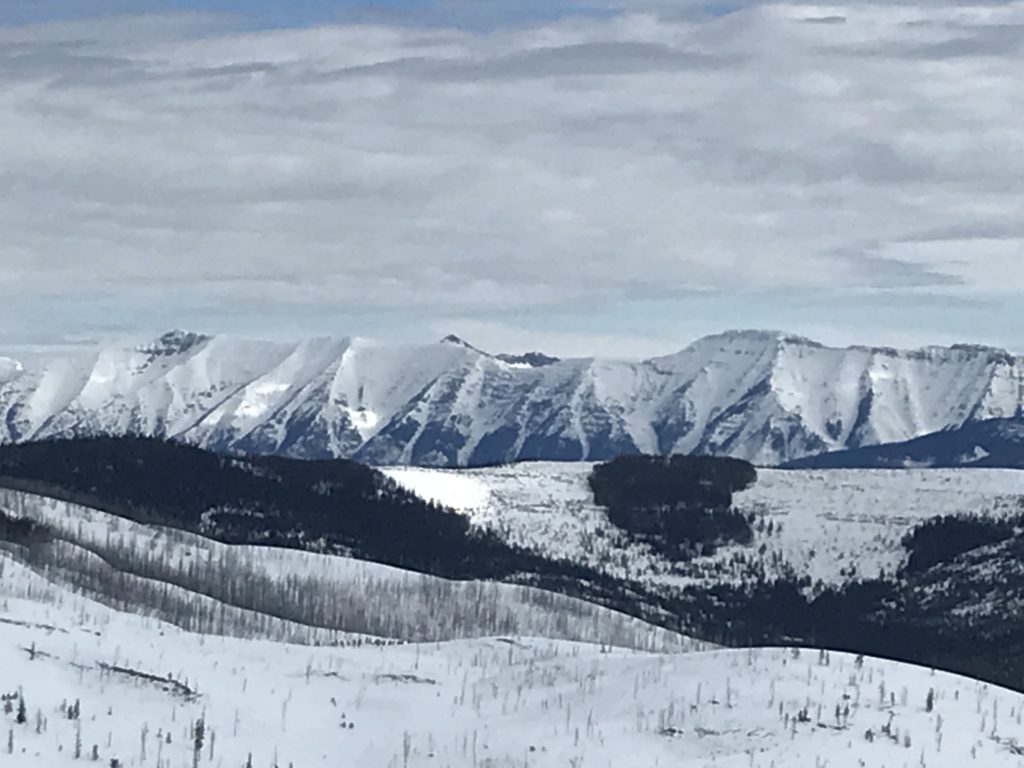
Weather and Snowpack

As of 5, this morning mountain temperatures range from 28-34 degrees. Snow is falling across most of the mountains in West Central Montana. A brief period of rain late yesterday/last night has led to 1-4 inches of snow accumulation this morning. An addition of .1-.3 inches of SWE has been added to the snowpack thus far. Winds are currently from the NW at Point 6, sustained at 15 mph, and gusting up to 23 mph. Further south at Deer Mountain winds are 10 mph gusting to 16 mph from the W.

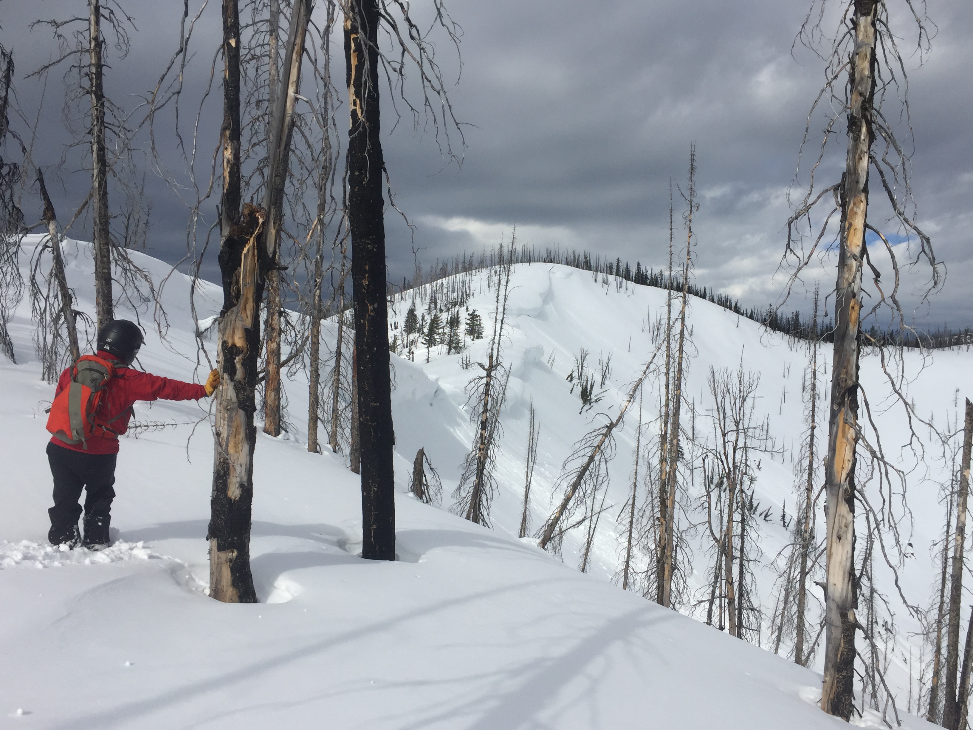
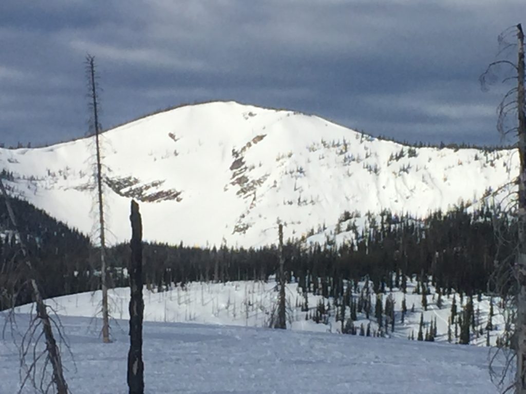
Tim and Theo were in the Rattlesnake yesterday and found the cold snow on north aspects to be disappearing, Travis and I were riding up at Seeley Lake and found cold frozen conditions in the morning that started to warm by midday before cloud cover returned to the region.

Loose, surface snow instabilities in steep terrain will be easily triggered particularly in areas with the dense new surface snow. Loose snow avalanches are small and can be managed with proper terrain selection but can be dangerous in places where there are terrain traps like rocks, trees, or gullies that increase the consequences of getting taken off your feet or sled.

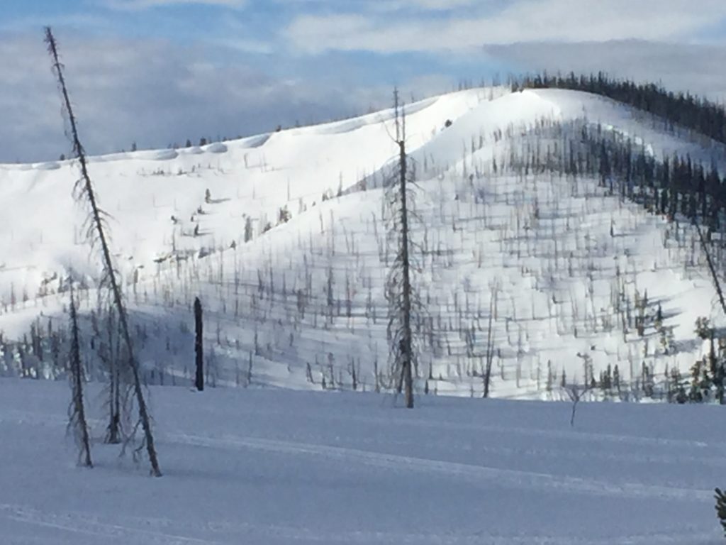
Storm slabs will also be a concern today. Storm slabs will be small but heavy and dense snow is falling on a firm snow surface in many locations. Storms slabs will be less than a foot deep, but with a slick surface of crusts that formed during the last few days and the lubrication of rain below 6,000 feet, the new snow will have a hard time bonding. This will primarily be a concern in steep terrain and areas that have been wind affected to help stiffen the slab. Dig a quick pit and perform stability tests to see if the new snow is bonding before committing to traveling in avalanche terrain.

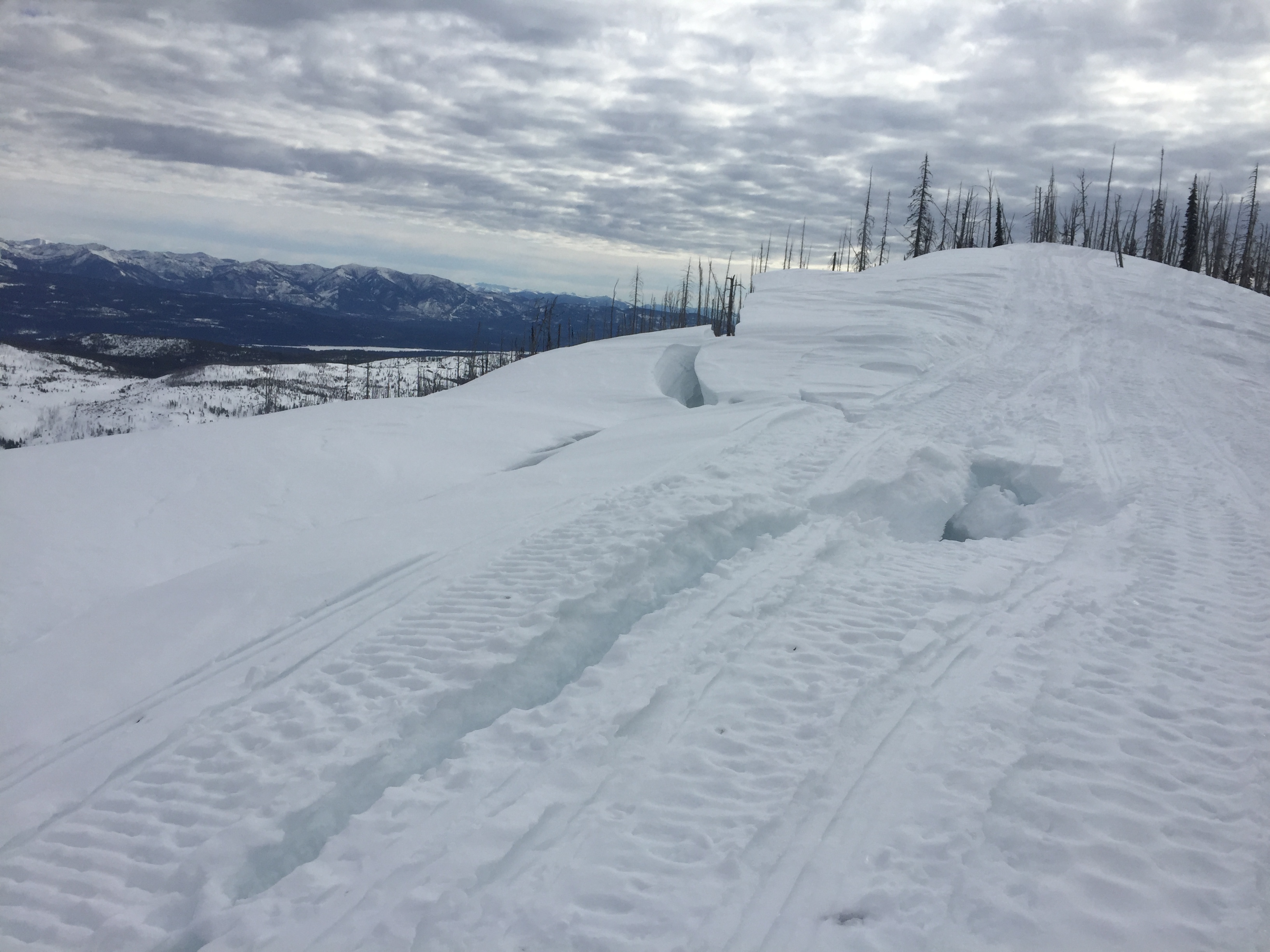
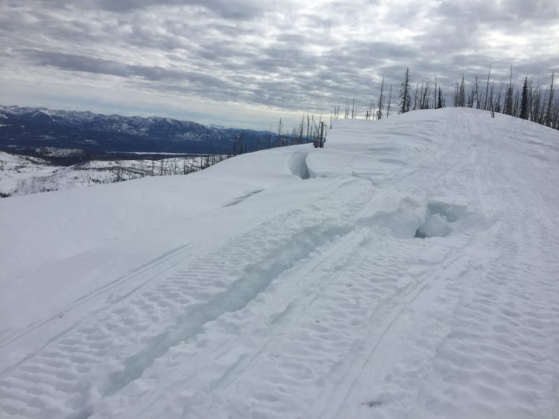
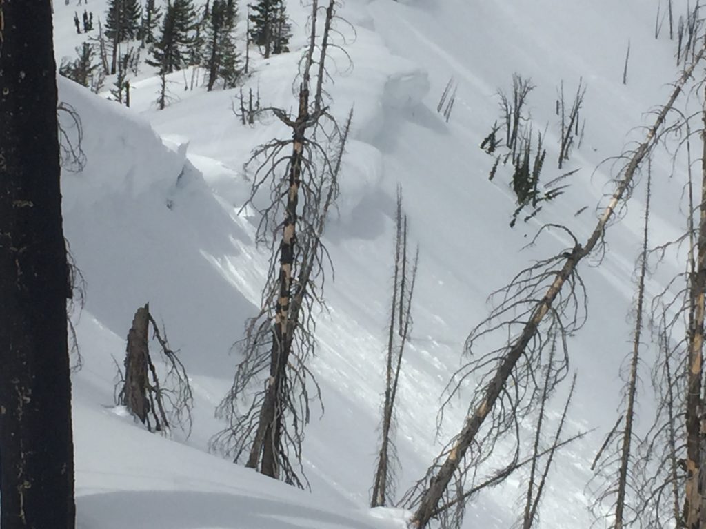
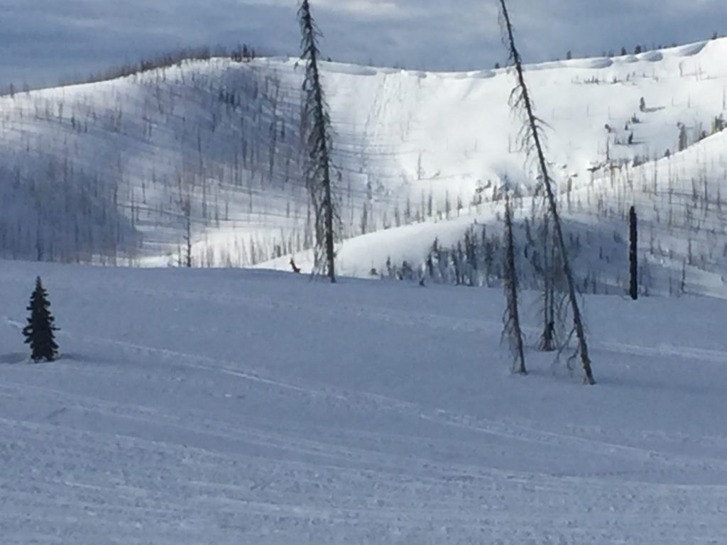
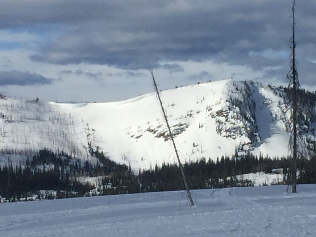
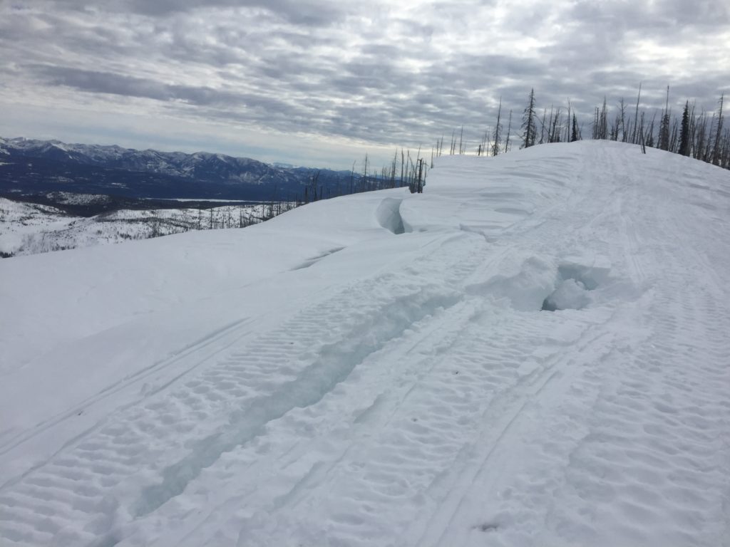
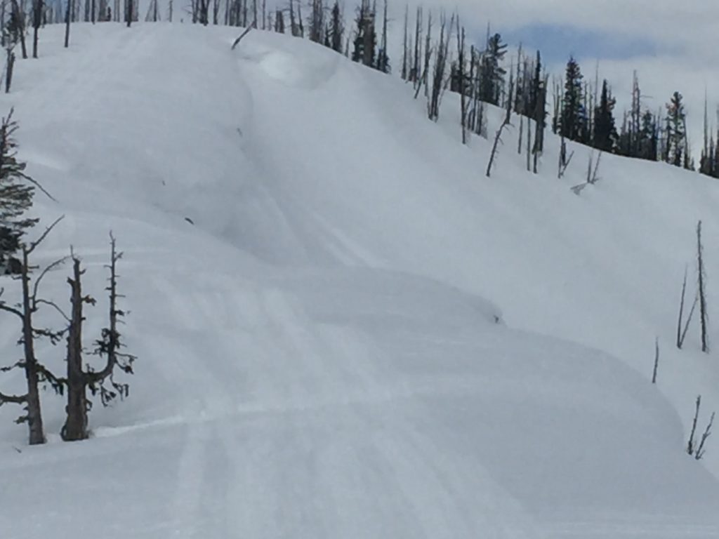
The greatest potential for large avalanches will come from cornice fall. We observed natural cornice failures yesterday and saw numerous signs of instability such as cracking. With rain up to around 6,000 feet, cornices will have further lost strength and will be suspect today as temperatures look to be just above freezing. Steer clear of traveling on or under cornices today.

Avalanche and Weather Outlook

The forecast suggests another 2-4 inches of snow for the region with snow lines staying around 3,500 feet today. Avalanche danger should remain the same through the day today unless areas receive more snow than expected or rain. Stay aware of changing conditions and be proactive with your decision making.

If you are out in the backcountry, please send us your observations, these are very helpful in producing the advisory.

Ski and ride safe.

READ FULL ADVISORY  

Problem 1 - Loose Snow Avalanches

  • TYPE

    loose-wet

    Loose Wet

    Release of wet unconsolidated snow or slush. These avalanches typically occur within layers of wet snow near the surface of the snowpack, but they may quickly gouge into lower snowpack layers. Like Loose-Dry Avalanches,they start at a point and entrain snow as they move downhill, forming a fan-shaped avalanche. They generally move slowly, but can contain enough mass to cause significant damage to trees, cars or buildings. Other names for loose-wet avalanches include point-release avalanches or sluffs. Loose-wet avalanches can trigger slab avalanches that break into deeper snow layers.

  • SIZE

    1-2

    < 1 (Small)

    The potential size of avalanche resulting from this problem.

  • LIKELIHOOD

    Likelihood-4

    Possible/Likely

    The likelihood of an avalanche resulting from this problem.

Loose wet and Loose dry avalanches will be possible in steep terrain. Elevation will determine if they are dry or wet.

Problem 2 - Storm Slabs

  • TYPE

    storm-slabs

    Storm Slabs

    Release of a soft cohesive layer (a slab) of new snow which breaks within the storm snow or on the old snow surface. Storm-slab problems typically last between a few hours and few days. Storm-slabs that form over a persistent weak layer (surface hoar, depth hoar, or near-surface facets) may be termed Persistent Slabs or may develop into Persistent Slabs.

  • SIZE

    2-3

    1 (Small)

    The potential size of avalanche resulting from this problem.

  • LIKELIHOOD

    Likelihood-3

    Possible

    The likelihood of an avalanche resulting from this problem.

  • ADDED DANGER

    Increased Slope Danger

    Increased/Added Danger

    There is an increased risk of avalanches on these slopes:

    E - East
    SE - Southeast
    S - South
    SW - Southwest
    W - West

Snow is falling on a crust that was rained on to about 6,000 feet last night. Storm slabs are small but have a great sliding surface.

Problem 3 - Cornices

  • TYPE

    cornices

    Cornices / Cornice Fall

    Release of an overhanging mass of snow that forms as the wind moves snow over a sharp terrain feature, such as a ridge, and deposits snow on the down-wind side. They range from small wind lips of soft snow to large overhangs of hard snow that are 30 feet (~10 meters) or taller. They can break off the terrain suddenly and pull back onto the ridge top and catch people by surprise even on the flat ground above the slope. Even small cornices can have enough mass to be destructive and deadly. Cornice fall can entrain loose surface snow or trigger slab avalanches.

  • SIZE

    5-6

    2-3 (Large)

    The potential size of avalanche resulting from this problem.

  • LIKELIHOOD

    Likelihood-3

    Possible

    The likelihood of an avalanche resulting from this problem.

  • IMAGE

Warm weather and rain have weakened cornices. Cooler temperatures today will help but weaknesses and cracks that have developed will be hidden under the new snow.

VIDEO

FORECAST & OUTLOOK

The forecast suggests another 2-4 inches of snow for the region with snow lines staying around 3,500 feet today.

This information is the sole responsibility of the Forest Service and does not apply to operating ski areas. The avalanche danger rating expires at midnight tonight but the information can help you make a more informed decision regarding travel in avalanche terrain for the next few days.

Our advisory area includes National Forest System lands in the Bitterroot Mountains from Lost Trail Pass north to Granite Pass, the Rattlesnake Mountains north of Missoula and the Southern Swan and Mission Mountains near Seeley Lake, MT. Avalanche information for the Lookout Pass/St. Regis Basin area is available from the Idaho Panhandle Avalanche Center.