
The avalanche danger for the West Central Montana backcountry is MODERATE. Snow has returned to the region and brought instabilities along. Small avalanches will be possible in some terrain, and large avalanches are possible in isolated locations. Carefully assess snow bonding to identify areas of increased concern.
Good morning, this is Logan King with the West Central Montana Avalanche Center’s avalanche advisory for Saturday, March 17th, 2018. This danger rating does not apply to operating ski areas, expires at midnight tonight and is the sole responsibility of the U.S. Forest Service.
Weather and Snowpack
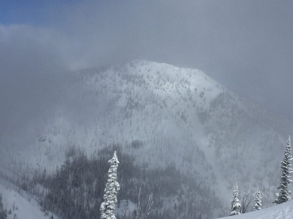
Mountain temperatures this morning range from 18-26 degrees. Light snow showers have brought a trace to two inches of snow to isolated locations across the advisory area. Winds are shifting to the E this morning and are currently 21 mph gusting to 26 mph at Point 6. In the southern Bitterroot they are 9 mph gusting to 12 mph from the E.
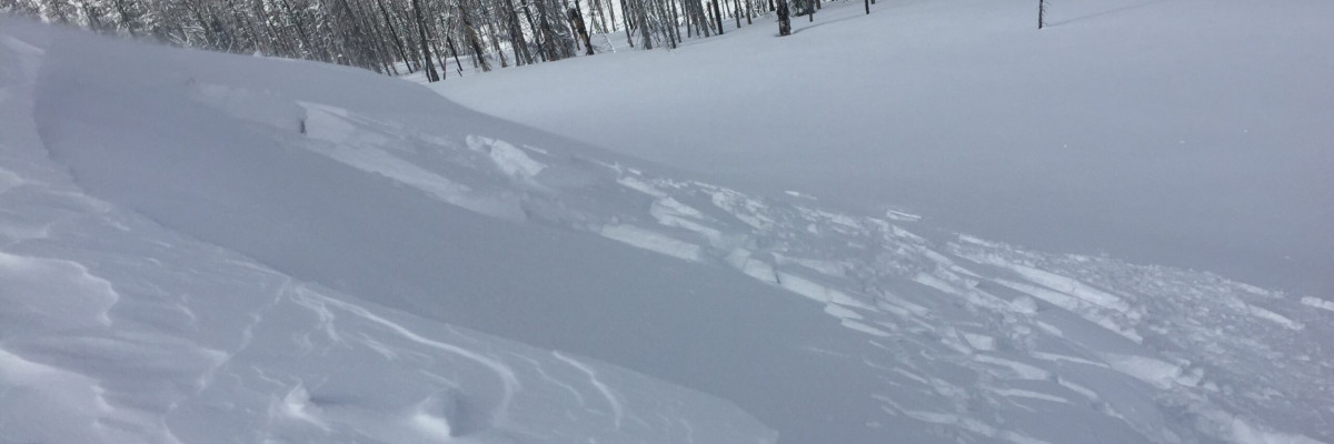
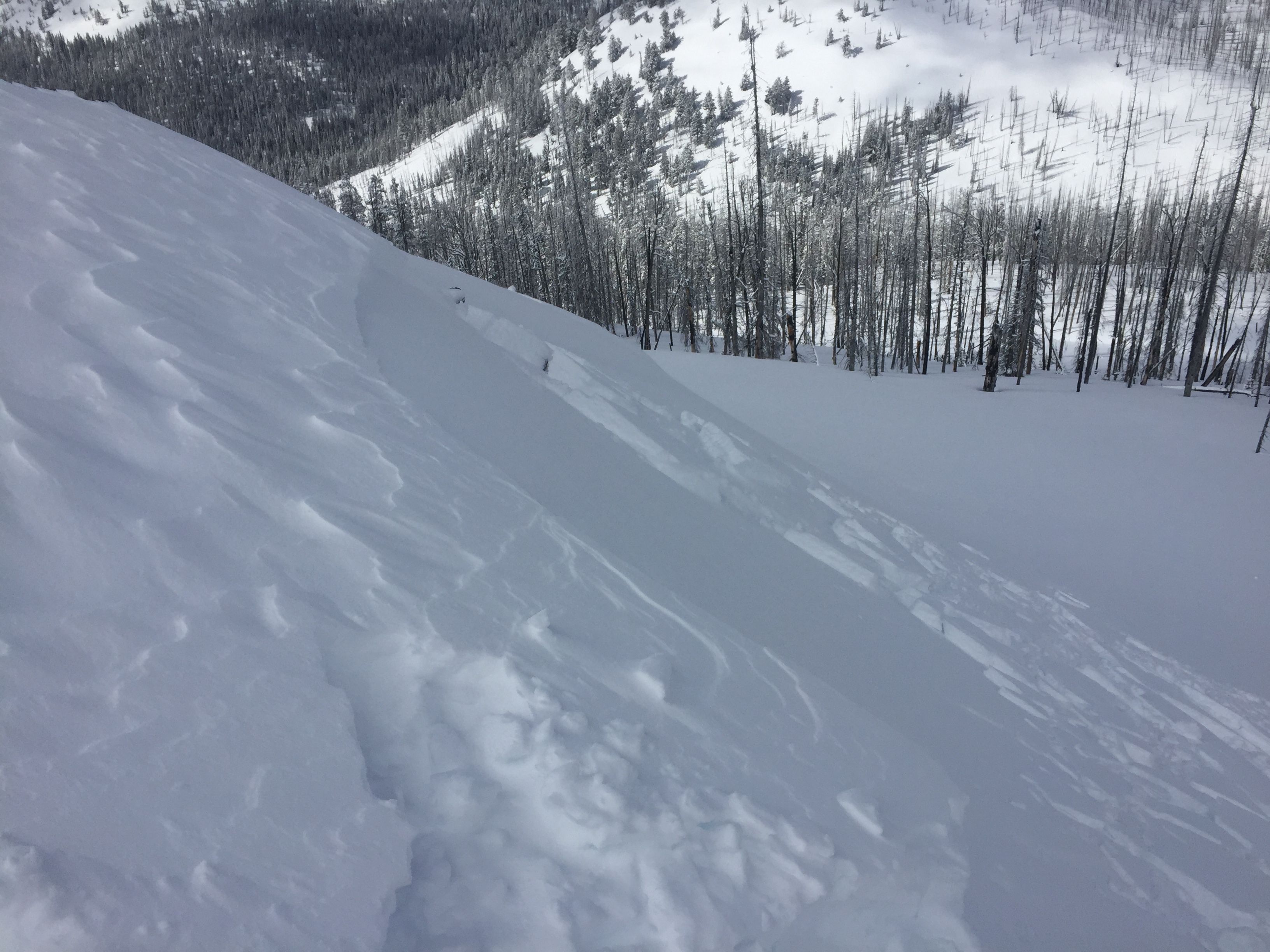
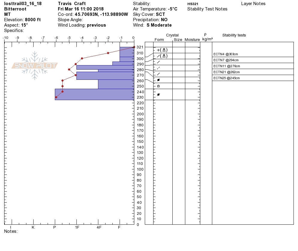
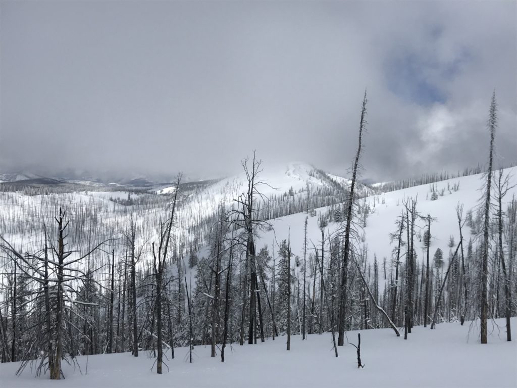
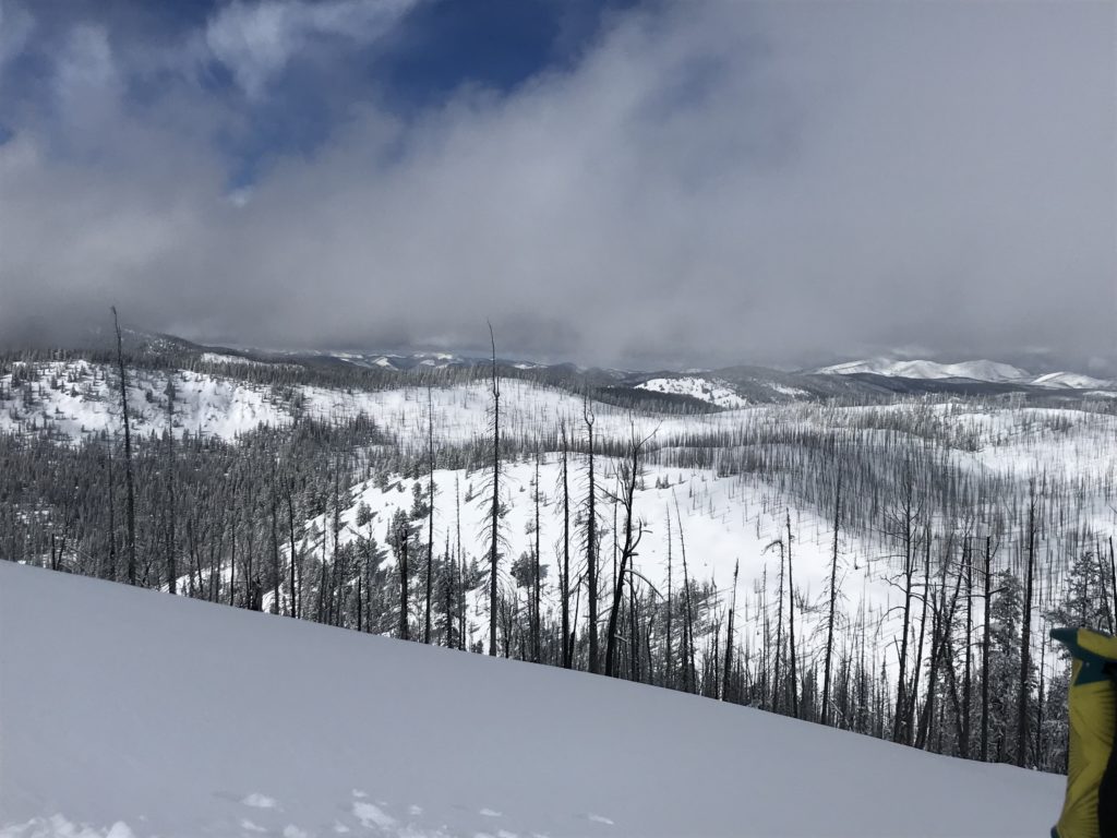
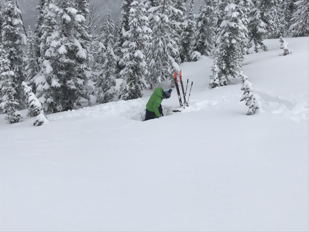
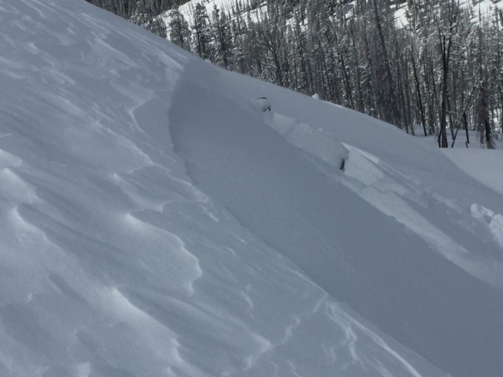
Travis and I toured near Lost Trail Pass yesterday. We found about 6 inches of new snow that had fallen on a crust that was suspect and sensitive to triggers in specific areas. We also found that wind loaded terrain produced small shooting cracks at some locations and a few test slopes produced small soft wind slabs that released with high energy.
The primary concern today will be wind slabs. Wind slabs are growing and sensitive to human triggers. With more snow and moderate wind in the forecast today the wind slab problem will be increasing. Look for signs like cracking in the snow surface or rounded pillows of snow to determine where wind loading has occurred. Small wind loaded test slopes yesterday were easily triggered up to about 8 inches deep and released with high energy. Avoid traveling on wind loaded terrain because human triggered avalanches will be possible and increasing through the storm cycle.
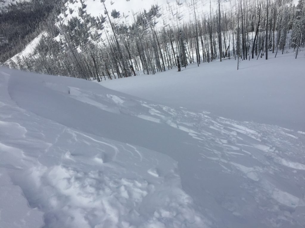
Storm slabs are the other significant concern today. They are not as widespread as usual but are suspect in areas where a stiffer slab developed or in locations where they sit on top of a crust. The new snow has not bonded well with the old snow surface. Dig a quick pit or use test slopes to identify if the storm snow will be susceptible to failure before committing to avalanche terrain.
Avalanche and Weather Outlook
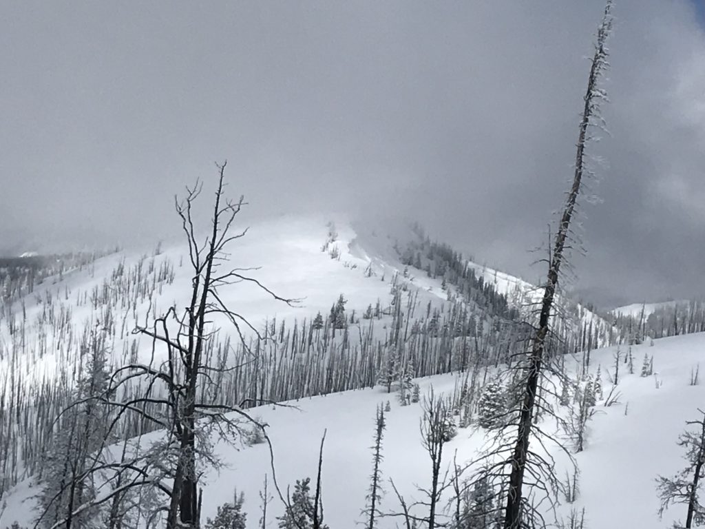
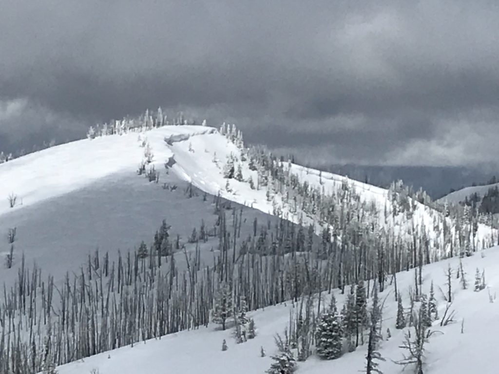
The forecast suggests light snow for the northern half of the advisory area, while the southern portion of the region looks to have more substantial snowfall today through tonight. The avalanche danger will be increasing today specifically for the Bitterroot range while the rest of the advisory area should have a more consistent avalanche danger.
If you are out in the backcountry, please send us your observation, these are very helpful in producing the advisory.
Ski and ride safe.


