
The current avalanche danger is LOW for the west central Montana backcountry. Low danger does not mean no Avalanche danger. Look for high elevation wind slabs on isolated slopes. Use safe travel protocols, only exposing one person to a slope at a time.
Good morning, this is Travis Craft with the West Central Montana Avalanche Center’s avalanche advisory for March 24, 2018. This danger rating does not apply to operating ski areas, expires at midnight tonight and is the sole responsibility of the U.S. Forest Service.
Weather and Snowpack
Mountain temperatures range from 19 F to 26 F in the region. In the Bitterroot winds are 12 mph with gusts of 17 mph out of the SSE. In the northern part of the advisory area, winds are reading 5 mph with gusts of 8 mph out of the SW. The forecast area received no new snow in the last 24 hours.
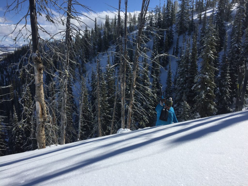
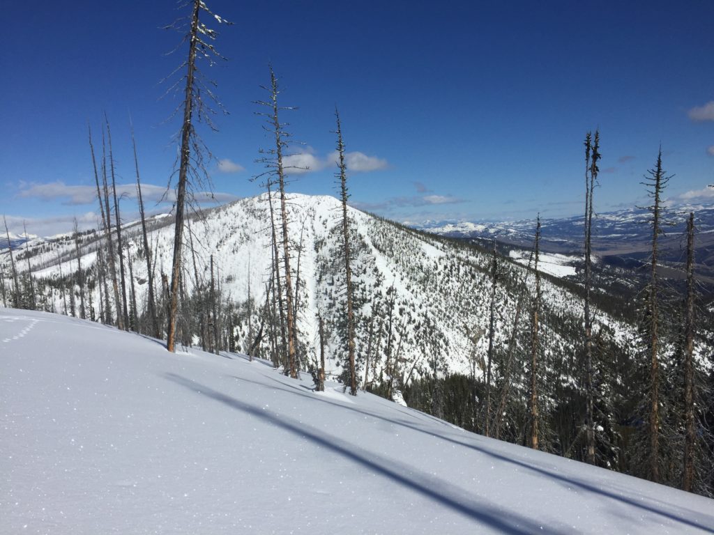
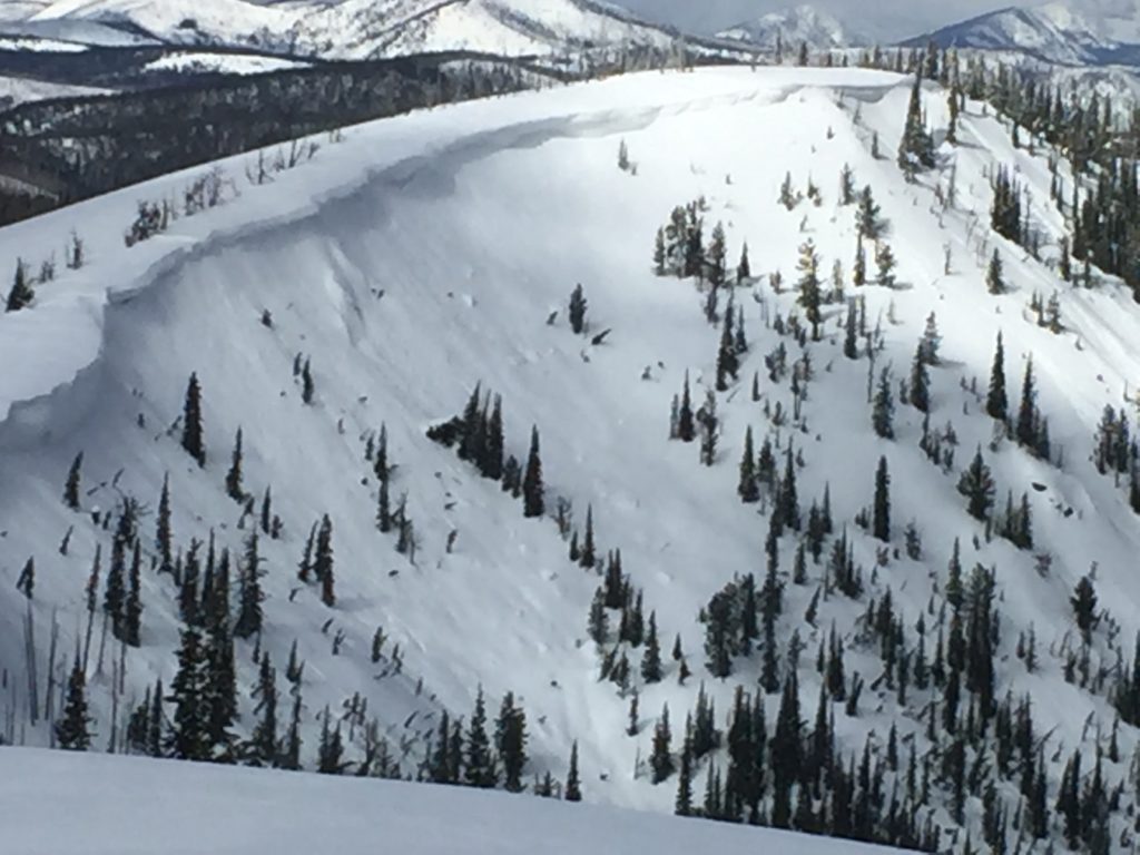
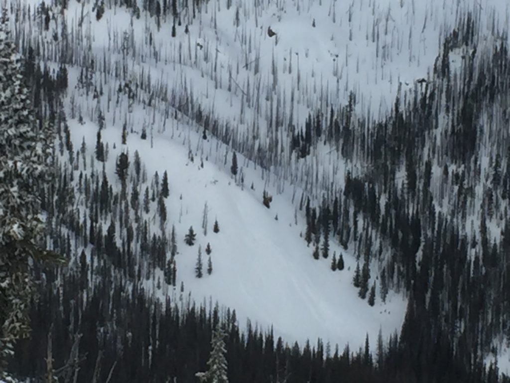
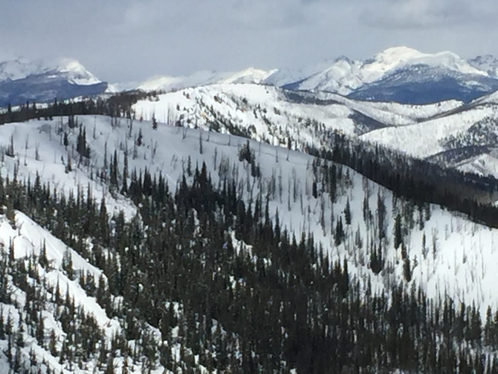
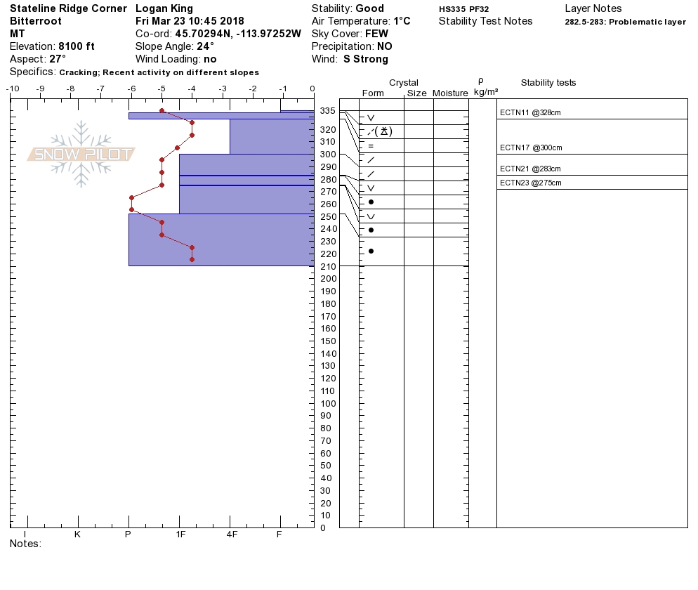
Logan and I toured near Lost Trail Pass yesterday. We saw evidence of earlier loose wet debris. We observed some very stiff small wind slabs. We found evidence of cornice failure from the previous days warming temperatures. There is a breakable rain crust on all aspects at higher elevations.
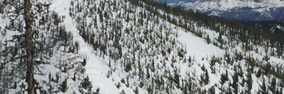
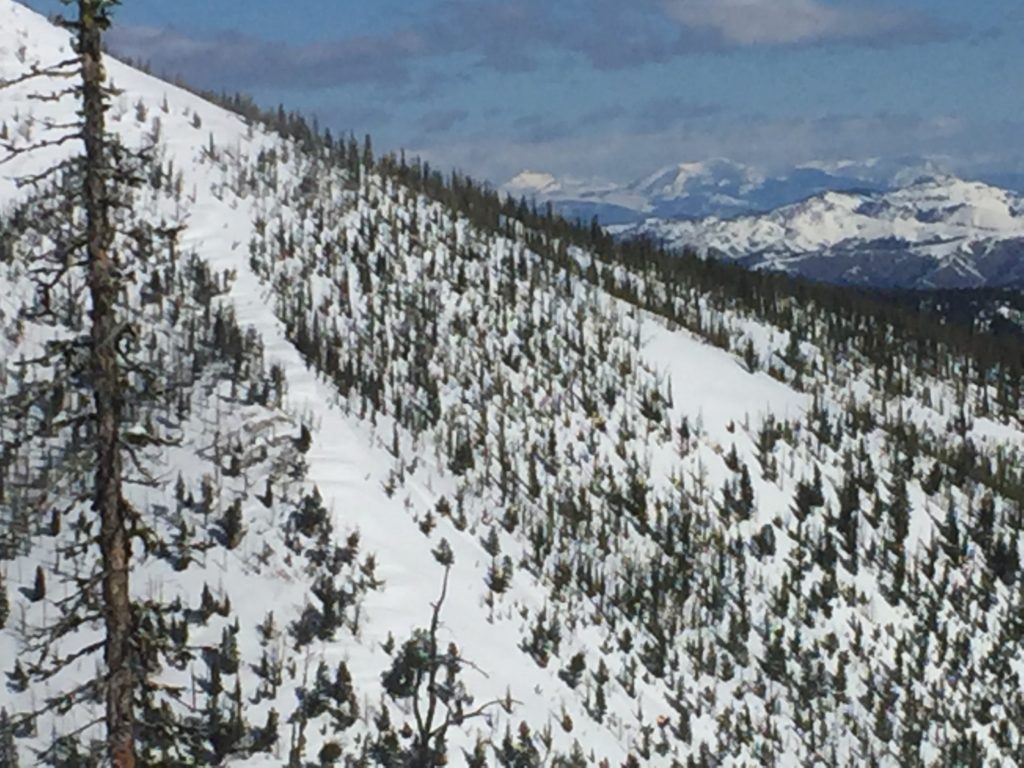
The primary avalanche problem is wind slabs. There are small wind slabs located on isolated slopes at high elevations. These are small and very hard to trigger. Identify wind-loaded terrain. Look for rounded pillows of snow near ridgelines and on cross-loaded slopes.
Low danger does not mean no avalanche danger. Identify wind-loaded terrain. Look for rounded pillows of snow near ridgelines and on cross-loaded slopes. Dig a pit 3 feet down and check to see if there are any layers of concern before committing to any steep slope. There is a stiff melt freeze crust on low and mid-elevation slopes and a stiff breakable crust on higher elevations. Use safe travel protocols today by only exposing one person to a slope at a time. Cornices are very large this time of year and unpredictable in failure, give them a wide berth. Today is predicted to have small amounts of snow and strong winds. Pay attention to changing weather conditions that can elevate the avalanche danger.
Avalanche and Weather Outlook
Snow is forecasted for the area today with strong winds. See the forecast here. Pay attention to changing weather conditions that could increase the avalanche danger.
Logan will issue the next advisory on March 27, 20018.
If you are out in the backcountry, please send us your observation, these are very helpful in producing the advisory.
Ski and ride safe.


