
The avalanche danger for the West Central Montana backcountry is LOW. Small avalanches are possible in isolated areas and extreme terrain. Carefully identify features and snow that have the potential to slide before traveling in steep terrain.
Good morning, this is Logan King with the West Central Montana Avalanche Center’s avalanche advisory for Tuesday, March 27th, 2018. This danger rating does not apply to operating ski areas, expires at midnight tonight and is the sole responsibility of the U.S. Forest Service.
Weather and Snowpack
Mountain temperatures this morning are in the mid to upper twenties. Scattered snow showers have deposited 1-2 inches of snow across the advisory area with isolated areas receiving up to 5 inches. Mountain winds have been predominantly out of the West and sustained in the 20’s with gust into the 30’s.
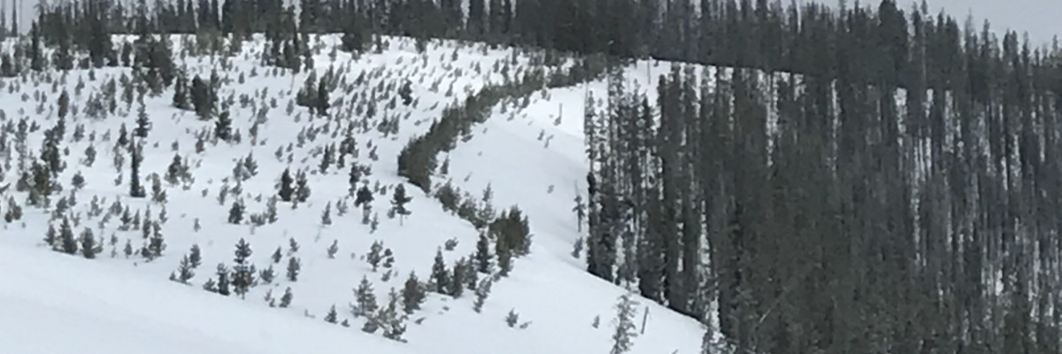
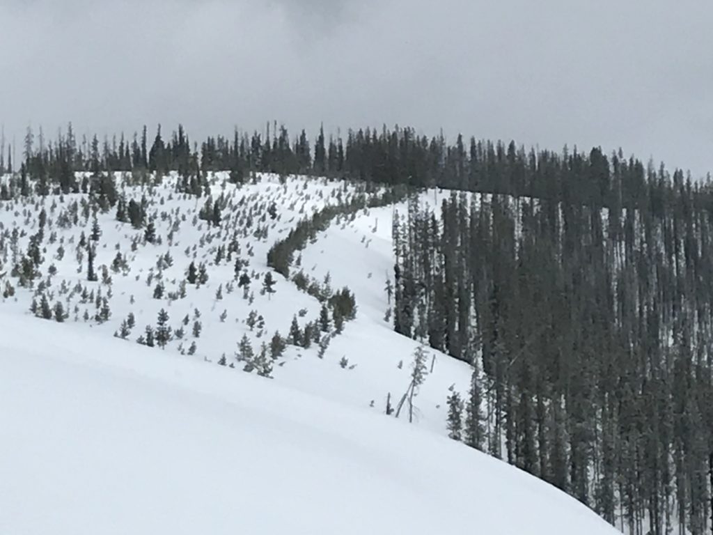
Travis and I rode near granite Pass yesterday. We found about 3 inches of snow that had fallen on a hard melt-freeze crust. Temperatures yesterday were colder, and strong westerly winds persisted through the day.
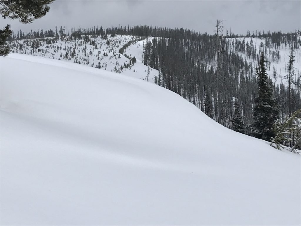
Wind slabs are the most significant avalanche concern today. New snow and strong winds have created thin wind slabs that have not bonded to the crust. Wind slabs are small and only 3-10 inches thick but can be dangerous in areas with terrain traps. Be wary of venturing onto steep wind-loaded terrain and seriously consider the consequences of getting caught in an avalanche.
It’s easy this time of year to let your guard down, but don’t be lulled into complacency by the low ratings. Conditions can and do change rapidly this time of year so continually evaluate the avalanche danger and problems if you are in traveling in the mountains. Continue to utilize good travel practices and adapt plans according to conditions.
Avalanche and Weather Outlook
Scattered showers are expected to continue today with minimal accumulations while the rain line will slowly climb to about 5,000 feet. Strong westerly winds look to continue through the day today. Avalanche activity will remain steady, but the size of wind slabs will increase in areas that pick up more snow. Another round of snow is on tap for tonight and into tomorrow.
The next advisory will be issued on March 29th, 2018.
If you are out in the backcountry, please send us your observations, these are very helpful in producing the advisory.
Ski and ride safe.


