
Good morning this is Logan King with an early season update for November 28th, 2018.
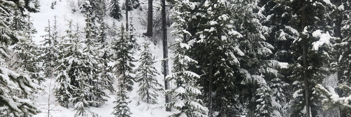
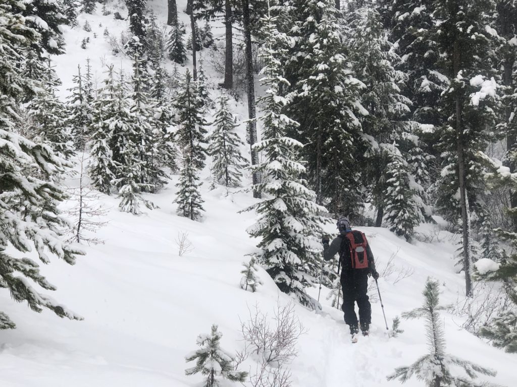
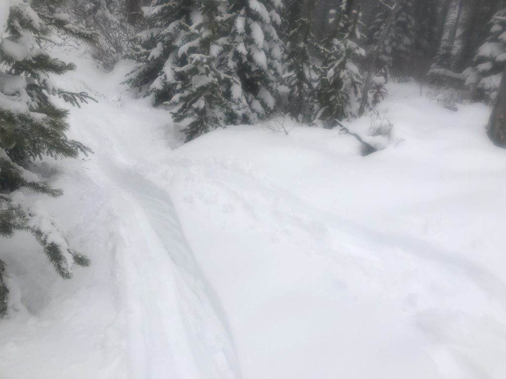
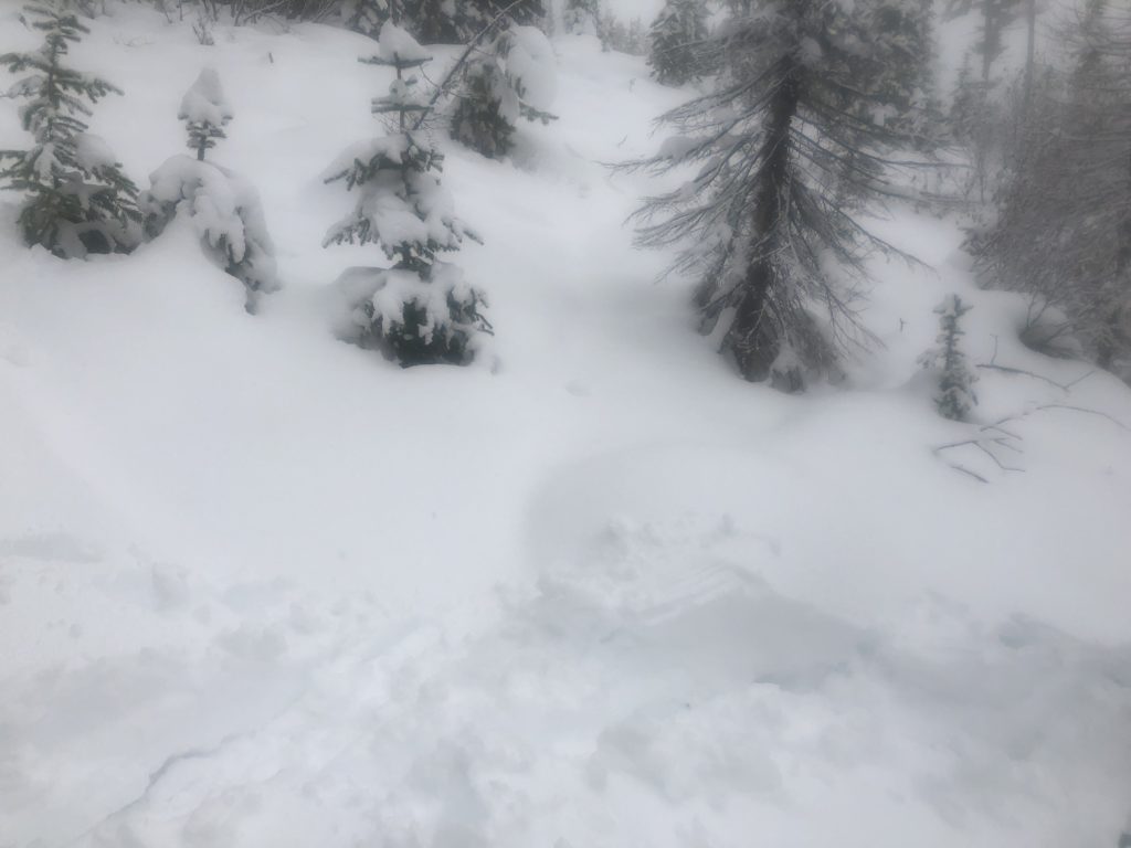
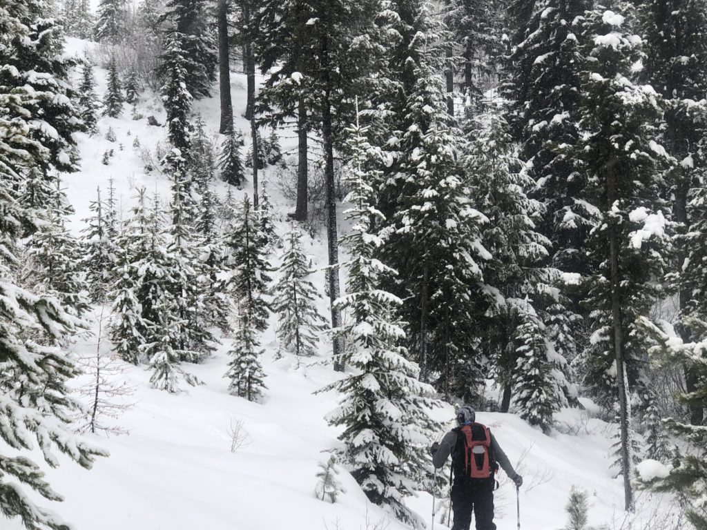
The atmospheric river that has been impacting the region for the last few days is nearing its end. The new snow has significantly changed the look of our snowpack. The new snow is much warmer and denser than the cold dry snow that was already on the ground and has increased instability across the region. The heavy new load is stressing the snowpack and will take a few days to bond to the old snow surface. While touring near Lolo Pass yesterday we found the new load was resulting in shooting cracks and some localized collapses. At higher elevations expect the old snow to be weak and faceted and reactive under the new load.
If you are out in the backcountry carefully evaluate conditions before traveling in avalanche terrain. Remember that the shallow snow will increase the risk of trauma if caught in a slide as more rocks, stumps, and down trees will be exposed in the slide path. Don’t ruin your season with a poor decision, remember that there is still plenty of the winter ahead of us.
If you do make it out into the hills feel free to share what you see on our public observations page. They are not only helpful to your community but extremely helpful to us, especially this time of year as data is sparse, conditions are variable and rapidly changing. If you haven’t had a chance yet please take a minute to fill out a quick survey and sign a petition to help improve the advisories and education program.
We will update the advisory as the weather dictates and plan to begin issuing regular avalanche advisories with a danger rating in early December.


