Posted:
Dec 4, 2018 @ 6:42 am

The current avalanche danger is Low  in the west central Montana backcountry. Generally safe avalanche conditions. Watch for unstable snow on isolated terrain features.

Good morning, this is Travis Craft with the West Central Montana Avalanche Center’s avalanche advisory for December 04, 2018.  This danger rating does not apply to operating ski areas, expires at midnight tonight and is the sole responsibility of the U.S. Forest Service.

Weather and Snowpack

Mountain temperatures range from 8 F to 14 F in the region.  In the Bitterroot winds are 5 mph with gusts of 8 mph out of the SSW.  In the northern part of the advisory area, winds are reading 21 mph with gusts of 27 mph out of the West.  The forecast area received 0 to 1 inch of new snow in the last 24 hours.

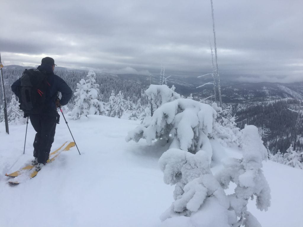
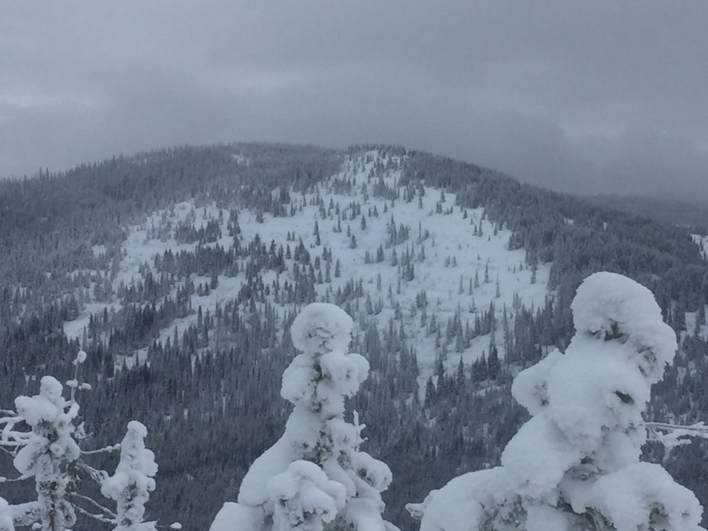
The forecast area has a relatively shallow snowpack ranging from 2 to 3 feet of snow. The upper elevations have the most snow and where you may encounter isolated avalanche problems.

The primary problem is wind slabs. Look for small wind slabs on leeward terrain. Look for snowdrifts and smooth, rounded deposits of snow on ridgelines. Avoid wind-drifted snow in steep terrain.

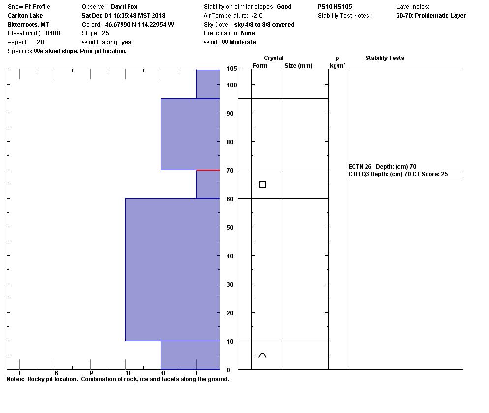
The second problem is persistent slabs. There is a crust with weak snow above it about 2 feet from the ground. This layer is one to keep in mind as we continue to get more snow in the upcoming week. Dig a pit to see if this layer is reactive. Dig your pit all the way to the ground to find this layer.

Overall we have safe avalanche conditions. Look out for stumps and rocks that are thinly covered by snow that could lead to injury. Remember that the shallow snow will increase the risk of trauma if caught in a slide as more rocks, stumps, and down trees will be exposed in the slide path. Use normal caution, continue to keep your guard up and look for any signs of snow instability. Evaluate snow and weather conditions as you travel.

page8image3723207840Avalanche and Weather Outlook
This week calls for very little change in the weather. We will have cold temperatures and little chance for precipitation. This means little will change with the avalanche danger.

If you are out in the backcountry, please send us your observations, these are very helpful in producing the advisory.

Join us tonight at Big Sky Brewing for an Avalanche Awareness night. Click on the link for more details.

I will issue the next forecast on Thursday.

Ski and ride safe.

READ FULL ADVISORY  

Problem 1 - Wind Slabs

  • TYPE

    wind-slabs

    Wind Slabs

    Release of a cohesive layer of snow (a slab) formed by the wind.  Wind typically erodes snow from the upwind sides of terrain features and deposits snow on the downwind side.  Wind slabs are often smooth and rounded and sometimes sound hollow, and can range from soft to hard. Wind slabs that form over a persistent weak layer (surface hoar, depth hoar, or near-surface facets) may be termed Persistent Slabs or may develop into Persistent Slabs.

  • SIZE

    2-3

    1 (Small)

    The potential size of avalanche resulting from this problem.

  • LIKELIHOOD

    Likelihood-1

    Unlikely

    The likelihood of an avalanche resulting from this problem.

Look for small wind slabs on leeward terrain. Look for snowdrifts and smooth, rounded deposits  of snow on ridgelines. Avoid wind-drifted snow in steep terrain.

Problem 2 - Persistent Slab

  • TYPE

    persistent-slabs

    Persistent Slabs

    Release of a cohesive layer of soft to hard snow (a slab) in the middle to upper snowpack, when the bond to an underlying persistent weak layer breaks.  Persistent layers include: surface hoar, depth hoar, near-surface facets, or faceted snow. Persistent weak layers can continue to produce avalanches for days, weeks or even months, making them especially dangerous and tricky. As additional snow and wind events build a thicker slab on top of the persistent weak layer, this avalanche problem may develop into a Persistent, Deep-Slab.

  • SIZE

    2-3

    1 (Small)

    The potential size of avalanche resulting from this problem.

  • LIKELIHOOD

    Likelihood-1

    Unlikely

    The likelihood of an avalanche resulting from this problem.

There is a crust with weak snow above it about 2 feet from ground. This layer is one to keep in mind as we continue to get more snow in the upcoming week. Dig a pit to see if this layer is reactive. Dig your pit all the way to the ground to find this layer.

VIDEO

Video for Advisory 12/04/2018 near Lolo Pass.

Pictures and Pit Profiles for Advisory 12/04/2018

FORECAST & OUTLOOK

The next chance for precipitation is Monday. See the Backcountry Forecast here.

This information is the sole responsibility of the Forest Service and does not apply to operating ski areas. The avalanche danger rating expires at midnight tonight but the information can help you make a more informed decision regarding travel in avalanche terrain for the next few days.

Our advisory area includes National Forest System lands in the Bitterroot Mountains from Lost Trail Pass north to Granite Pass, the Rattlesnake Mountains north of Missoula and the Southern Swan and Mission Mountains near Seeley Lake, MT. Avalanche information for the Lookout Pass/St. Regis Basin area is available from the Idaho Panhandle Avalanche Center.