
The current avalanche danger is LOW across the West Central Montana backcountry. Generally safe avalanche conditions can be found, but careful evaluation of terrain and conditions are still essential for safe travel. Watch for unstable snow on isolated terrain.
Good morning, this is Logan with the West Central Montana Avalanche Center’s avalanche advisory for Saturday December 08th, 2018. This danger rating does not apply to operating ski areas, expires at midnight tonight and is the sole responsibility of the U.S. Forest Service.
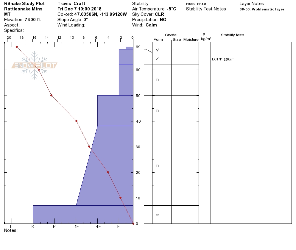
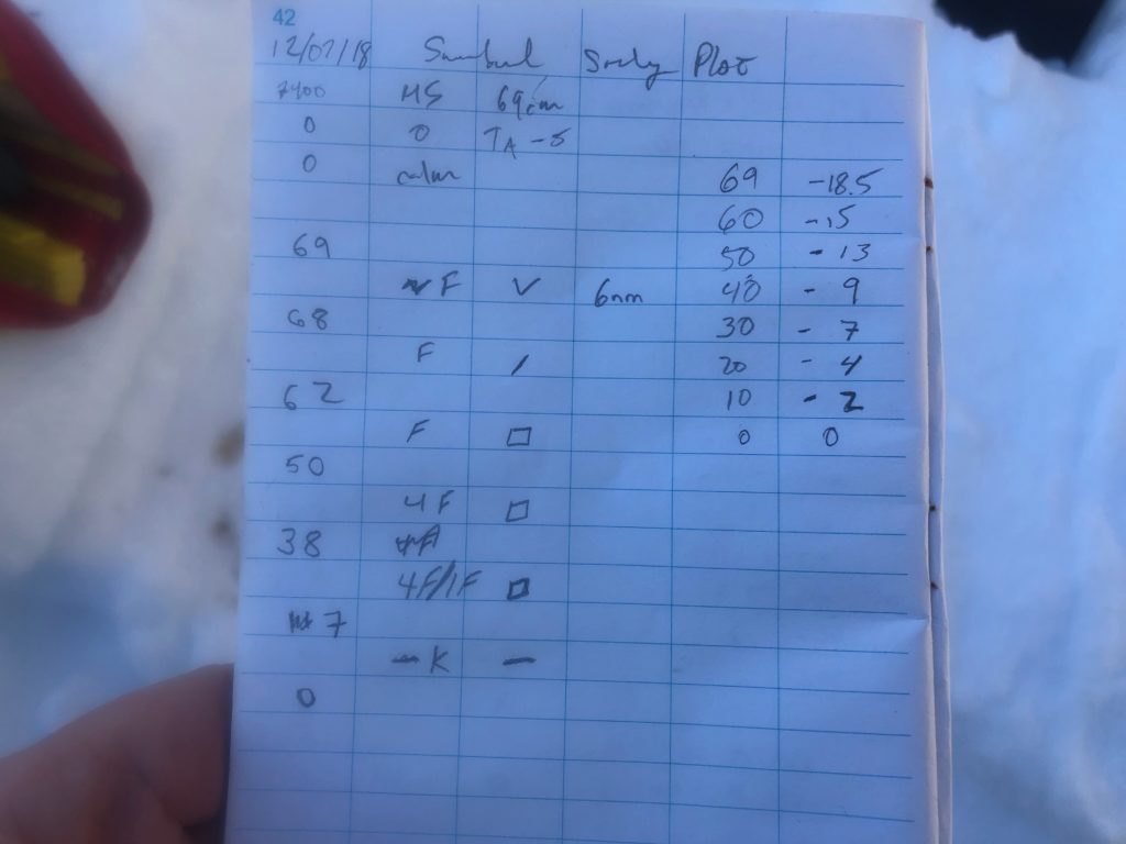
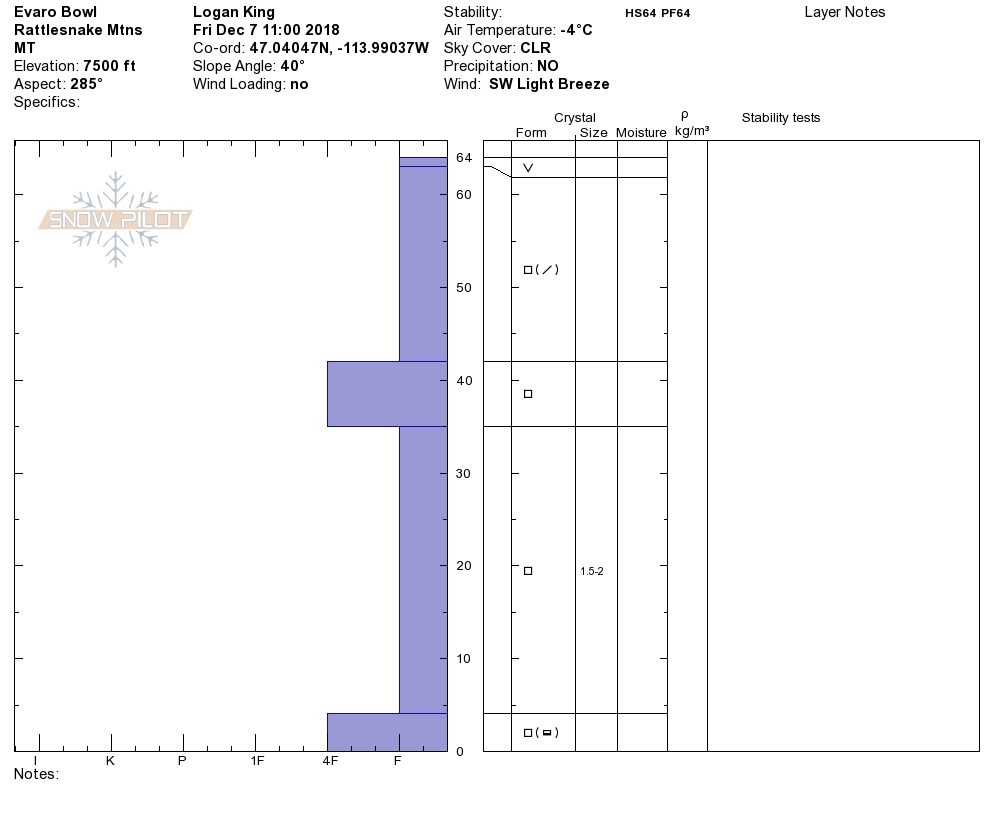
Weather and Snowpack
As of 5 am this morning mountain temperatures range from the high teens to low twenties. Little snow has been seen for a prolonged period with the occasional dusting of snow. Ridge top winds at Point 6 this morning are at 12 mph gusting to 17 mph from the West.
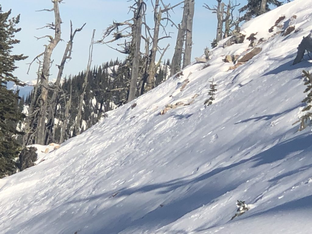
Currently the primary avalanche concern is wind drifted snow that is creating thin shallow wind slabs. The wind slabs are small but can be serious if you are in the wrong place at the wrong time. Consider the consequences of avalanches before committing to avalanche terrain and follow your safe travel protocols.
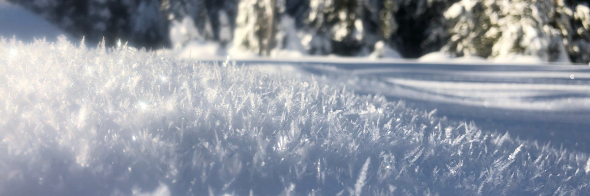
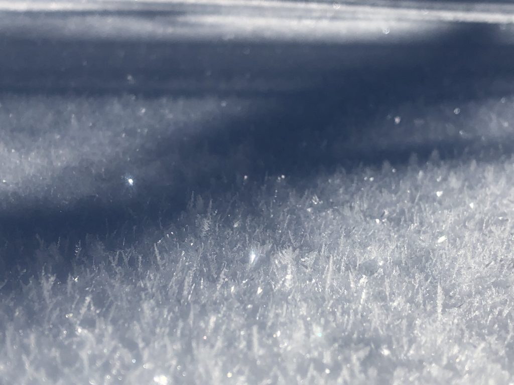
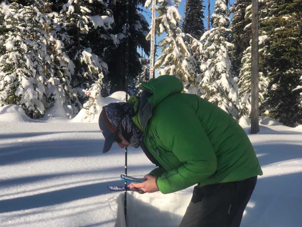
The secondary concern are persistent weak layers. These layers are not currently reactive as they generally lack slabs to transfer the energy and propagate, but will be a nagging concern once snow returns to the region. Take note of where you are seeing more surface hoar growth and increased faceting as these will become the problem areas when snow returns.
Avalanche and Weather Outlook
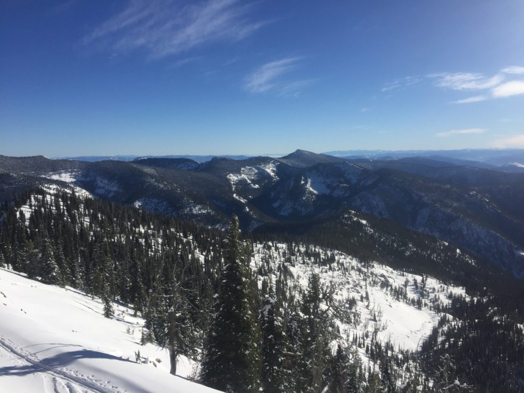
Cold and dry looks to be the norm over the weekend as a high lingers around the region. Inversions have set up with slightly warmer temperatures and clear skies at upper elevations. According to the forecast the next chance for snow looks to be early next week with the potential for a more significant shift by midweek.
If you do make it out into the hills feel free to share what you see on our public observations page. They are not only helpful to your community but extremely helpful to us.
The next advisory will be issued on Tuesday the 11th.
Ski and ride safe.


