
For wind loaded terrain the avalanche danger remains HIGH across the West Central Montana backcountry. The danger on non-wind loaded terrain is considerable. Very dangerous avalanche conditions exist as large avalanches are possible in many areas. Cautious route finding is essential and travel in and around avalanche terrain is not recommended.
Good morning, this is Logan King with the West Central Montana Avalanche Center’s avalanche advisory for Thursday, December 20th, 2018. This danger rating does not apply to operating ski areas, expires at midnight tonight and is the sole responsibility of the U.S. Forest Service.
Weather and Snowpack
Mountain temperatures this morning are in the twenties as of 4 a.m. Overnight a trace to an inch of snow fell at some locations but overall not much snow has fallen since mid-day yesterday. Winds are light out of the SSE-SE at about 8 mph and gusting to 10 mph.
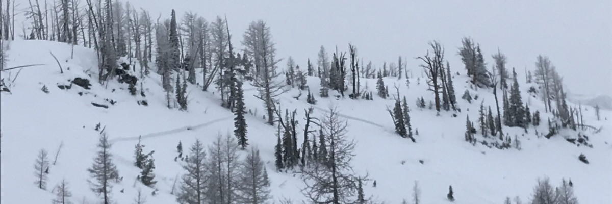
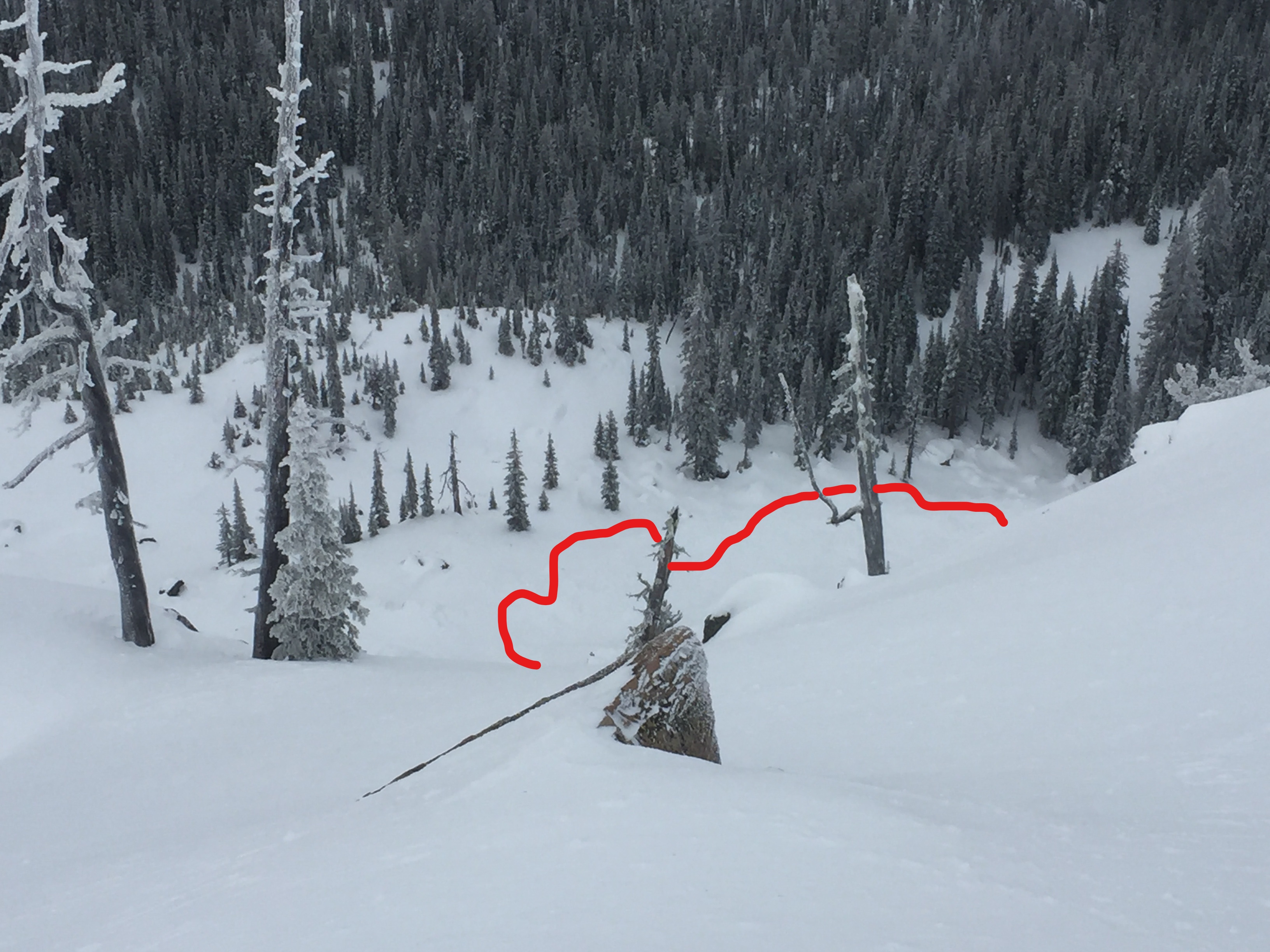
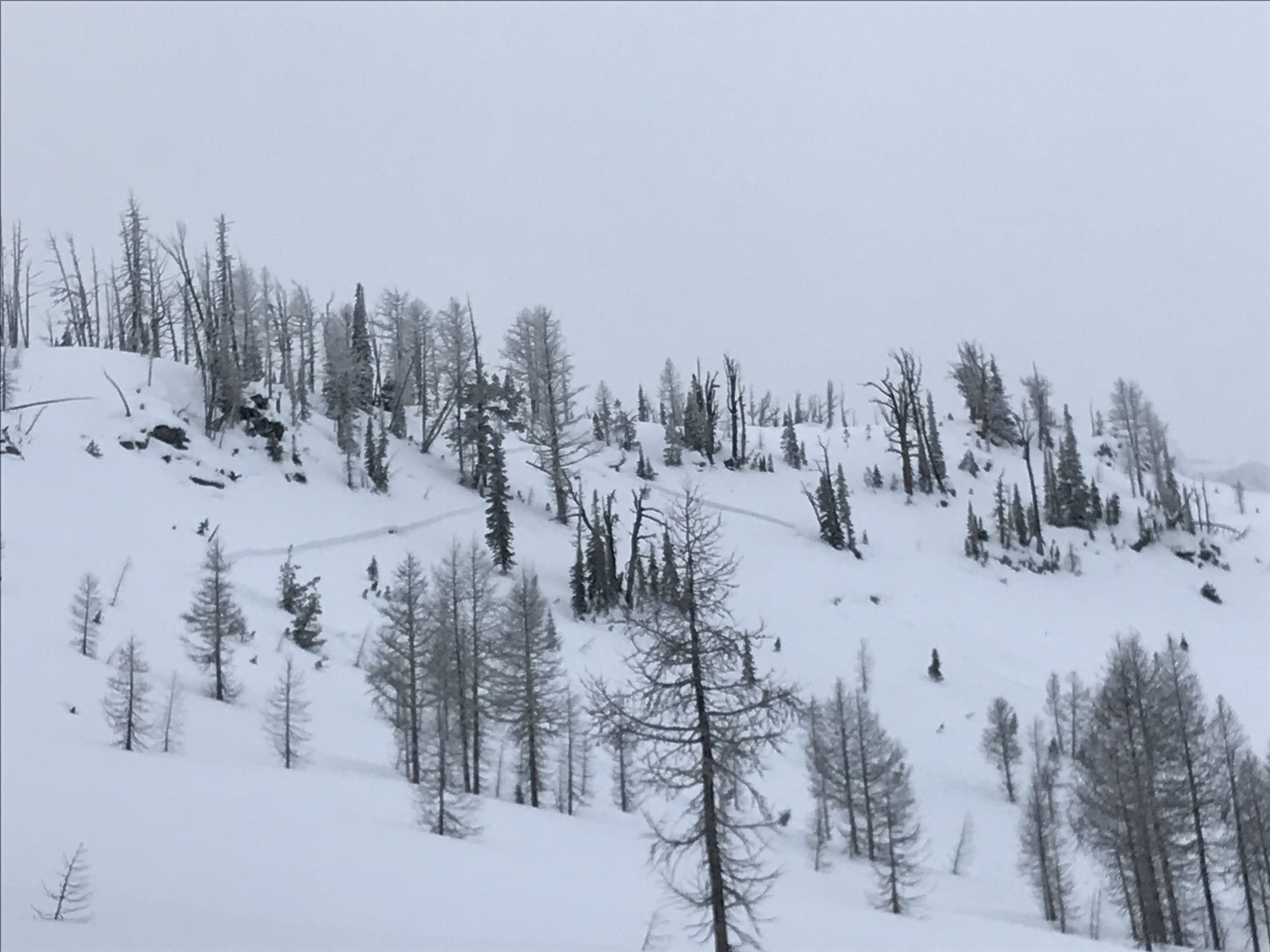
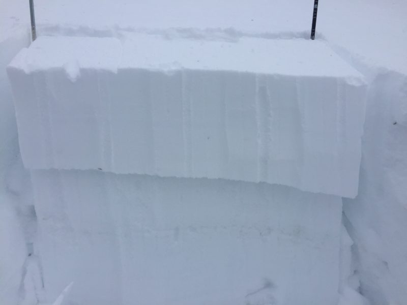
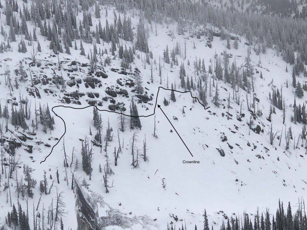
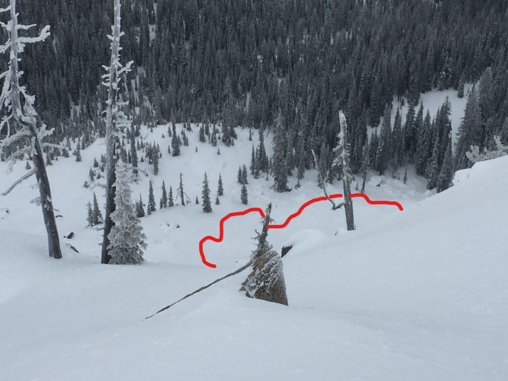
Wind slabs are the primary avalanche concern today. Yesterday we remotely triggered a wind slab in the Rattlesnake (pic, video), and observed another skier triggered windslab while observers in the Bitterroot triggered a winds slab as well (pic). The big take away is wind slabs are wide spread, very sensitive to triggers, and are not something you want to be on, below, or near for that matter. If you are seeing signs of wind loading you can also expect to hear/see whumpfing, shooting cracks, collapsing and remote triggers; all of which should point you away from wind affected terrain.
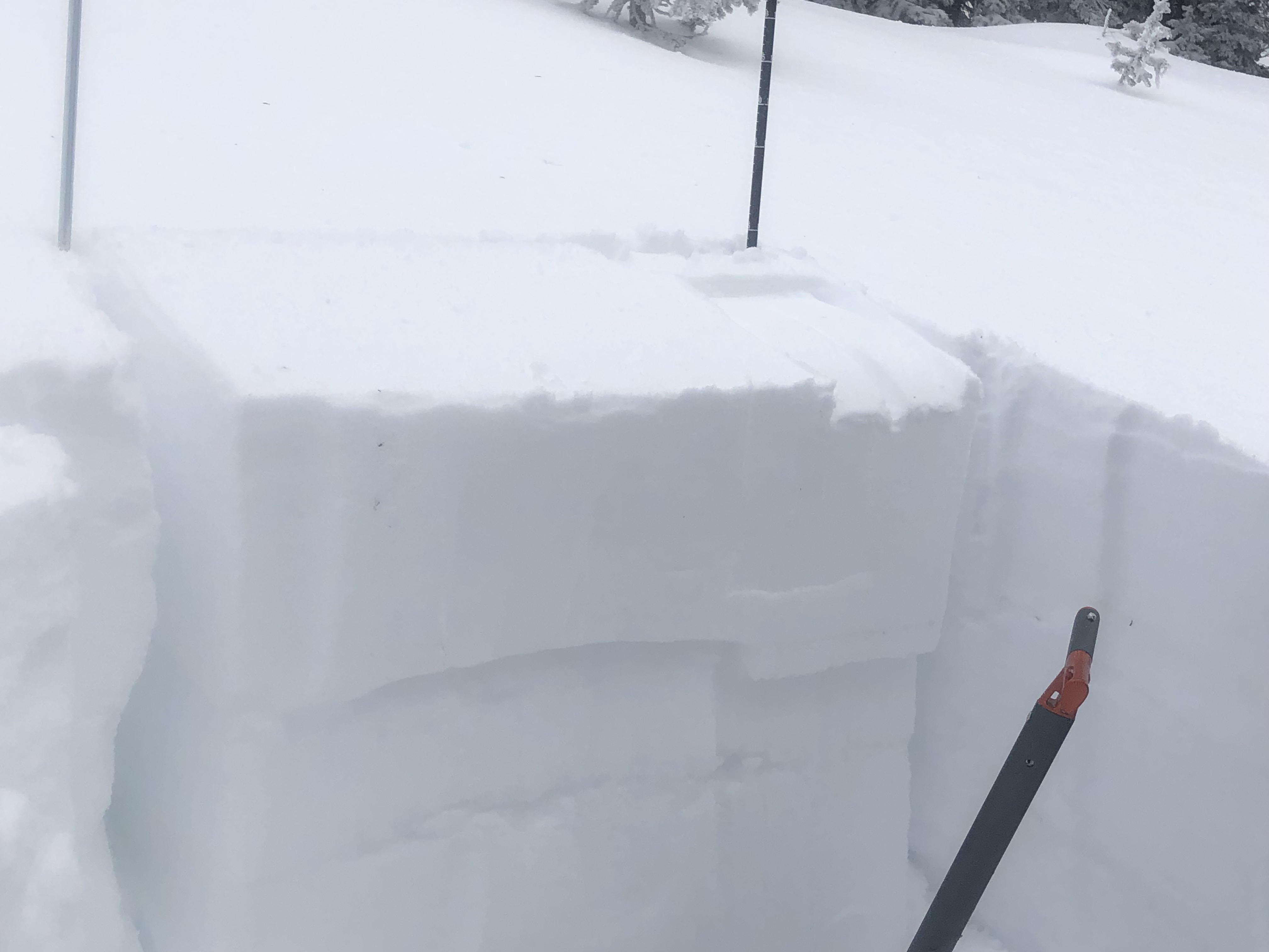
Buried surface hoar continues to be reactive in stability tests and will make persistent slabs the secondary concern. The buried surface hoar is breaking down and is not as widespread as last week but is very reactive in stability test but can still be found on at many locations (video). Take the time to dig a pit to see if the persistent weak layers are present and reactive.
Avalanche and Weather Outlook
Snowfall should be minimal today with the next round of snow impacting the region tonight and into Friday (forecast). Strong winds are expected to usher in the next round of precipitation so expect to see strong winds develop through the day today. The lull today doesn’t appear to be long enough to let avalanche conditions settle down so they should remain the same leading into the next storm.
Join us tonight at Big Sky Brewing from 6-8 pm for Beers with Forecasters. Come have a beer and talk to your local forecasters about avalanche conditions, or ask a question you have been pondering all season. This is great opportunity to practice you rescue skills as well in the new beacon park at Big Sky Brewing.
If you do make it out into the hills feel free to share what you see on our public observations page. They are not only helpful to your community but extremely helpful to us.
Ski and ride safe.


