
The avalanche danger for the West Central Montana backcountry is MODERATE. Large avalanches can be triggered in isolated locations and smaller avalanches are possible in specific terrain. Careful evaluation is needed to identify features of concern.
Good morning, this is Logan King with the West Central Montana Avalanche Center’s avalanche advisory for Saturday, December 29th, 2018. This danger rating does not apply to operating ski areas, expires at midnight tonight and is the sole responsibility of the U.S. Forest Service.
Weather and Snowpack
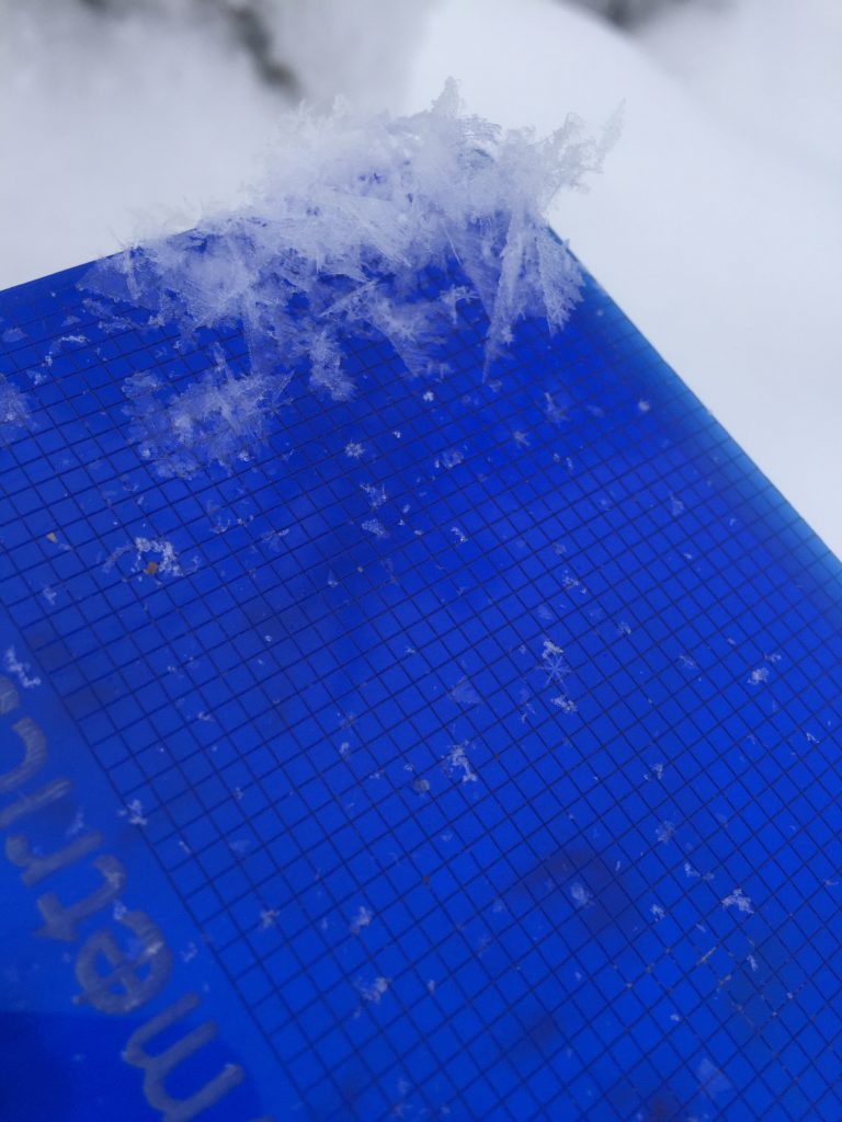
As of 5:30 this morning mountain temperatures range from 14-24 degrees Fahrenheit. Winds remain light and are out of the South at 4 mph gusting to 9 mph. Wide spread snow showers overnight have deposited 2-6 inches of snow across the forecast area with SWE totals of 0.1-0.5 inches of water.
The avalanche danger has been trending “down” but that doesn’t necessarily mean its getting better. Many areas continue to gain strength, but there are a few locations where the opposite is occurring. Some locations have very weak snow and continue to be reactive to tests and the consequences of avalanches at these locations are trending up as more snow gets added to the snowpack, creating the potential for larger avalanches. The main problems continue to be persistent slabs and wind slabs.
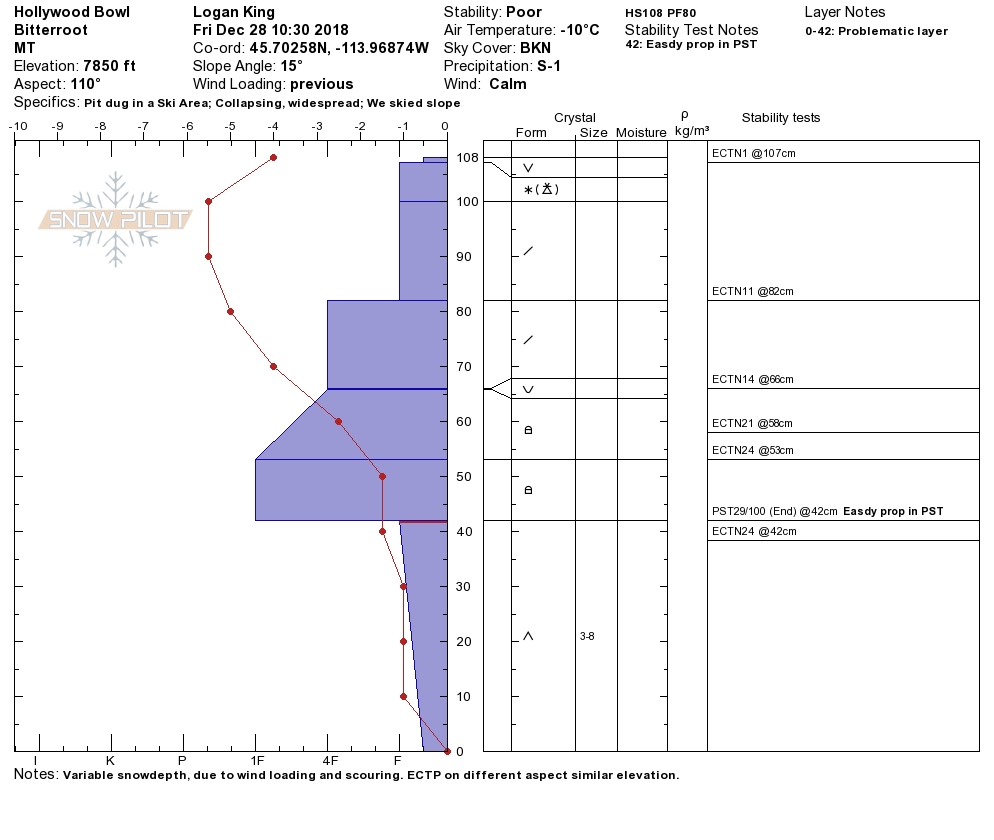
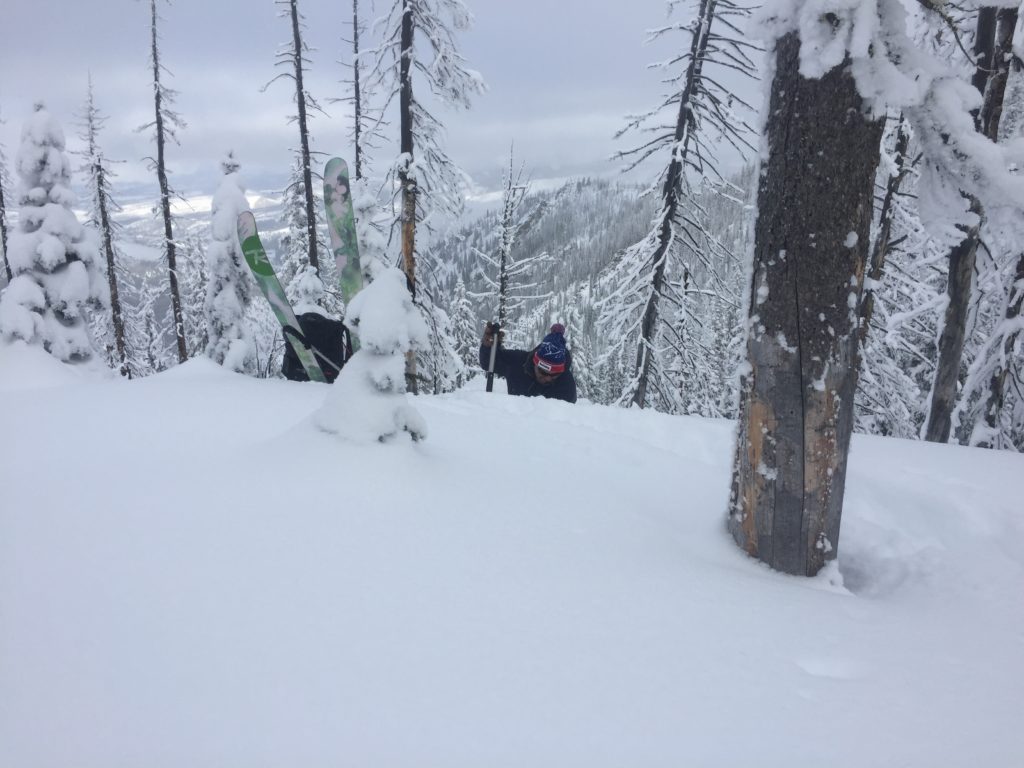
Persistent slabs are the biggest problem right now. Yesterday in the southern Bitterroot we found depth hoar that resulted in whumphing, and collapsing, and propagated in stability tests on multiple aspects. There is also the buried layer of surface hoar that is breaking along with new surface hoar that is now getting buried and will be susceptible to triggers. The different faceted layers can be found on a variety of terrain across the forecast area, it is more prominent at some locations than other, so careful snowpack evaluation is very important to identify if layers of concern are present. Avoid likely trigger points like shallow or rocky areas and roll overs.
Wind slabs are the other major concern today. Areas that have seen wind loading can be identified by rounded pillows of snow and will be found on lee terrain or below cornices. Areas with weak snow and firm wind slabs will easily be triggered by snowmobiles or skiers today. Avoid traveling on or under wind loaded terrain especially in areas where persistent weak layers have also been identified.
Thursday’s advisory said to “not be lulled into a false sense of security” and that is even more true now. As many locations are gaining strength there are areas that avalanches are likely and have the potential to be big. Be aware of the consequences before traveling in avalanche terrain. Take the time to dig pits, use safe travel protocols and talk with your group as you travel through the backcountry.
Avalanche and Weather Outlook
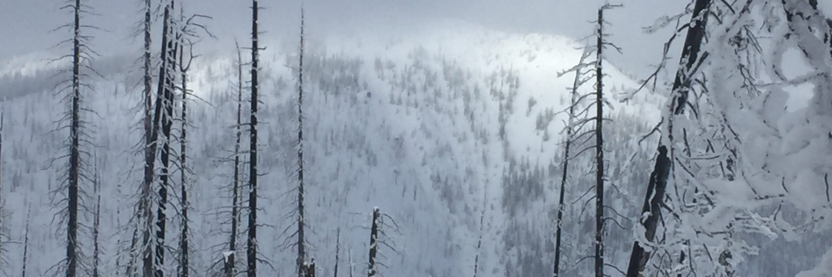
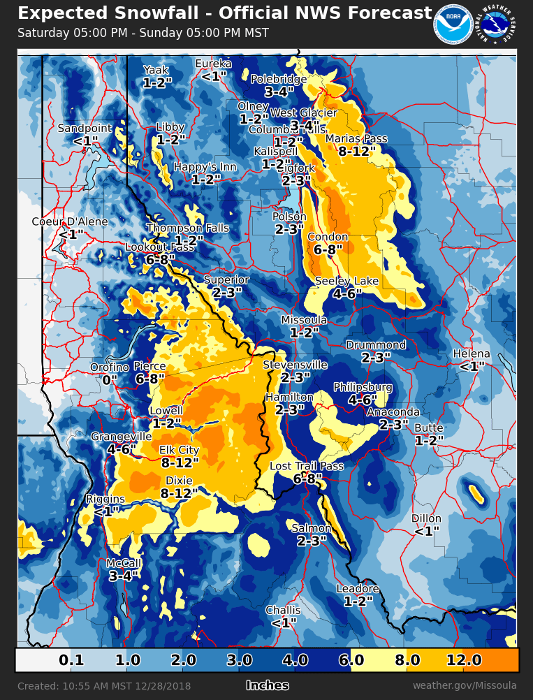
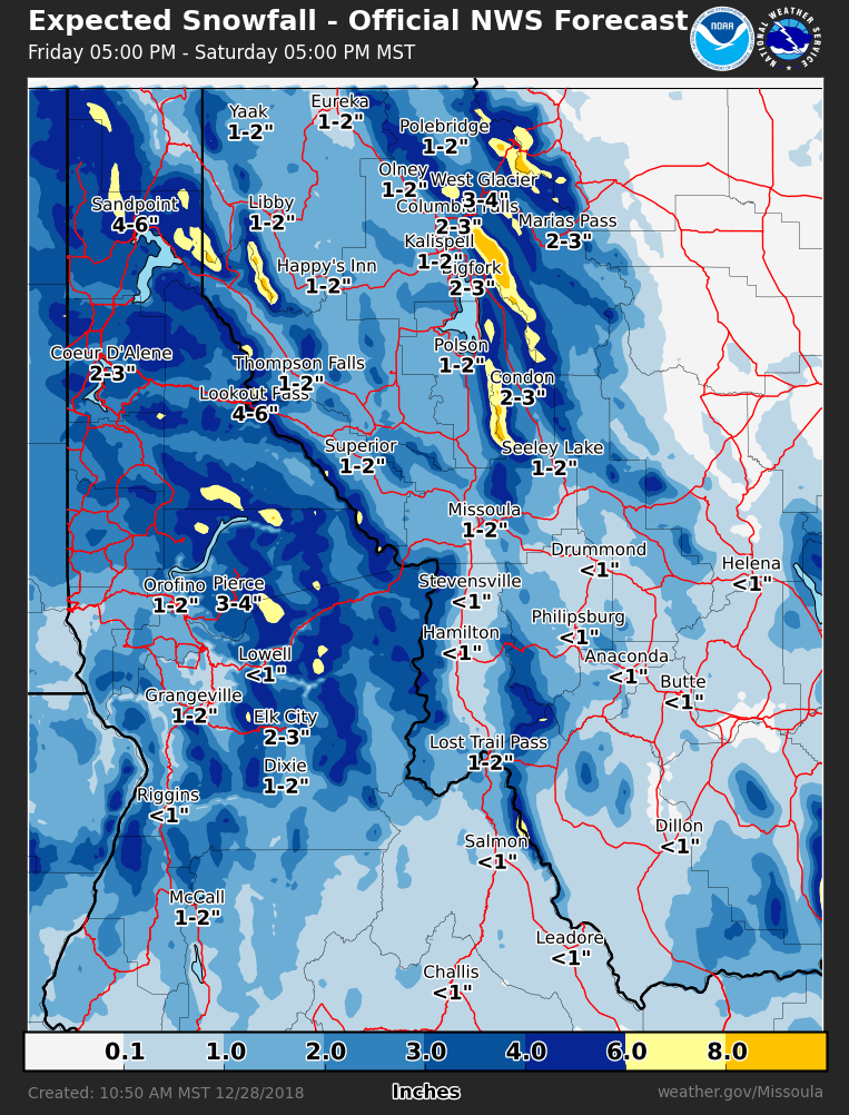
Continued snow showers this morning will bring another few inches through the day today (forecast). Snowfall will pick up tonight and through Sunday with potential of widespread accumulating snow (Pic). With weak snow structure and a significant load being added over the weekend, avalanche danger will increase over the next few days. As the cold front moves through late today and into tomorrow strong winds (~50 mph) are expected (forecast).
If you get out into the mountains feel free to share what you see on our public observations page. They are not only helpful to your community but extremely helpful to us.
Ski and ride safe.


