
The current avalanche danger is Considerable for the West Central Montana backcountry. A significant load of new snow and strong winds are creating dangerous avalanche conditions as human triggered avalanches are likely today.
Good morning, this is Logan King with the West Central Montana Avalanche Center’s avalanche advisory for Sunday, December 30th, 2018. This danger rating does not apply to operating ski areas, expires at midnight tonight and is the sole responsibility of the U.S. Forest Service.
Weather and Snowpack
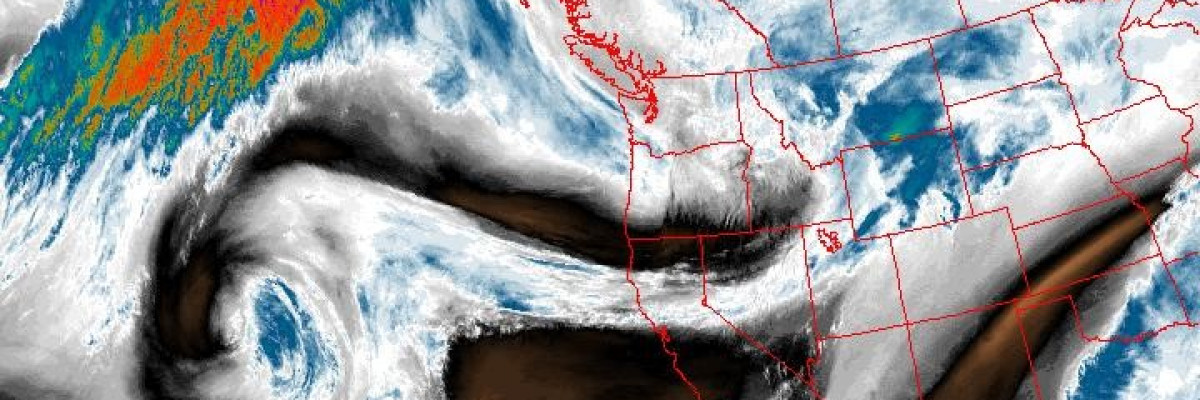
Since yesterday morning 4-10 inches of snow has fallen across the advisory area. The new snow has deposited 0.4-0.9 inches of SWE. Winds were out of the SW yesterday and around 5pm began gusting to 40-50 mph and were sustained in the 20’s. Winds shifted early this morning to the WNW and have settled but will ramp back up again and shift later today as the cold front moves through. Mountain temperatures are in the mid 20’s to low 30’s Fahrenheit this morning.
As expected, the current storm has notably increased the avalanche danger since yesterday. The new snow and strong winds are creating dangerous avalanche conditions. A lot of new snow is available for transport and is forming large dangerous Wind slabs. The new wind slabs will easily be triggered today and travel on or around wind loaded terrain is not advised.
The Persistent slabs are becoming increasingly reactive as well. The locations that have faceted snow and and buried surface hoar will be strained under the new load. Be cautious of locations with weak snow structure as they will need a day or two to adjust to the new load. With lots of new surface snow it will be possible to create small sluff avalanches that then act as triggers for the week layers deeper in the snowpack.
Conditions have drastically changed over the past 24 hours and will require an increased consideration of avalanche potential. Human triggered slides are likely, so use cautious route finding and make conservative decisions today as the snow will need some time to settle and adjust.
Avalanche and Weather Outlook
The mountains around West Central Montana remain under a Winter Storm Warning for continued snow and strong winds today. The new snow and strong winds will keep the avalanche danger trending upward. Look for the wind to shift to a more Northerly or Easterly flow late today as a cold front works into the region. The snow will begin to taper off as the week begins but cold temperatures are poised to set up for the beginning of the week (forecast).
If you get out into the mountains feel free to share what you see on our public observations page. They are not only helpful to your community but extremely helpful to us.
Ski and ride safe.


