Posted:
Jan 5, 2019 @ 6:13 am

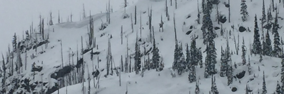
The avalanche danger for the west central Montana backcountry is MODERATE. Large avalanches can be triggered in isolated locations, and smaller avalanches are possible in specific terrain. Careful evaluation is needed to identify features of concern.

Good morning, this is Travis Craft with the West Central Montana Avalanche Center’s avalanche advisory for January 05, 2019. This danger rating does not apply to operating ski areas, expires at midnight tonight and is the sole responsibility of the U.S. Forest Service.

Weather and Snowpack

Mountain temperatures range from 24 F to 28 F. In the Bitterroot winds are 14 mph with gusts of 19 mph out of the SW. In the northern part of the advisory area, winds are 5 mph and gusting to 8 mph out of the ESE(here is link for wind data). The region received 1 to 3 inches of new snow in the last 24 hours.

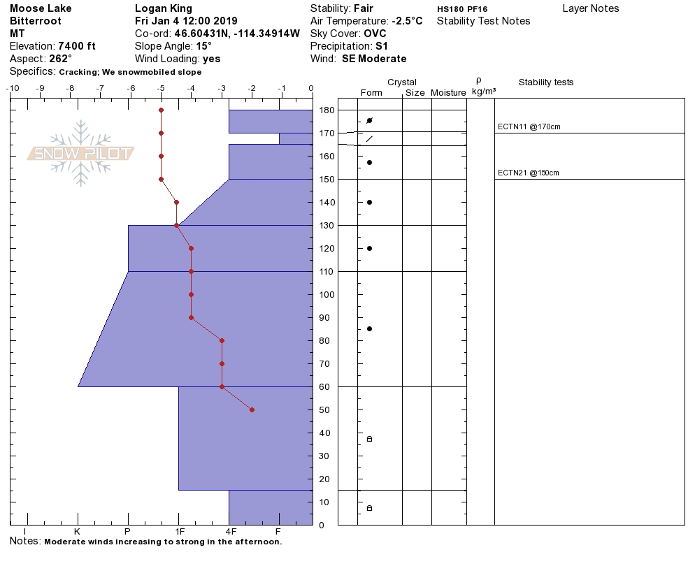
The snowpack is slowing gaining strength. The buried surface hoar, depth hoar, and facets are less reactive in pit tests. Winds created new wind slabs on leeward terrain.

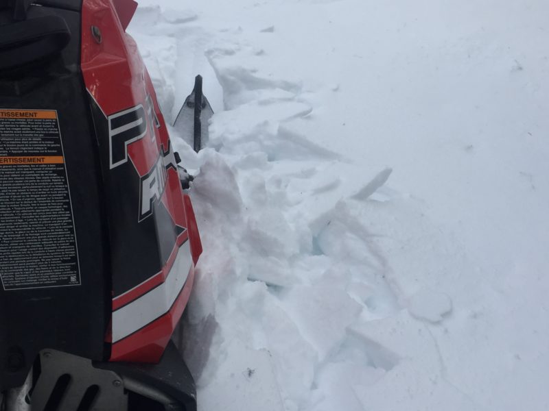
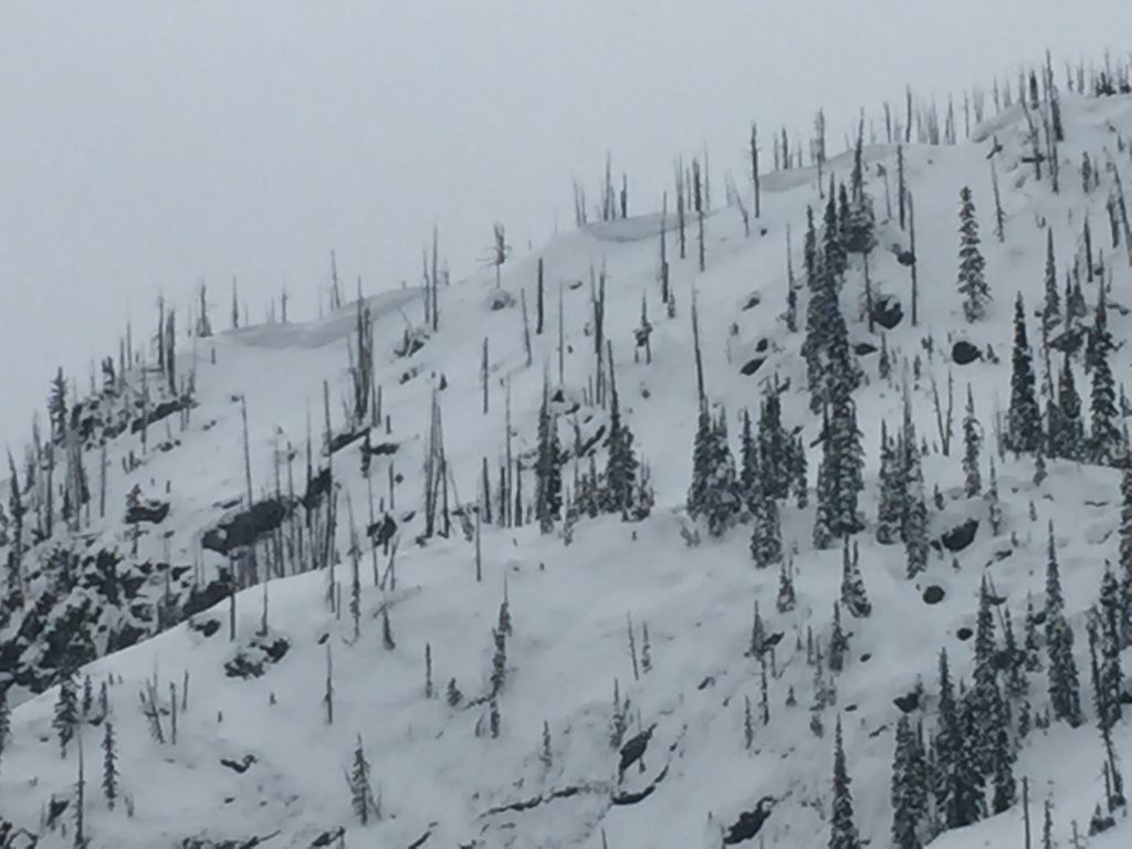
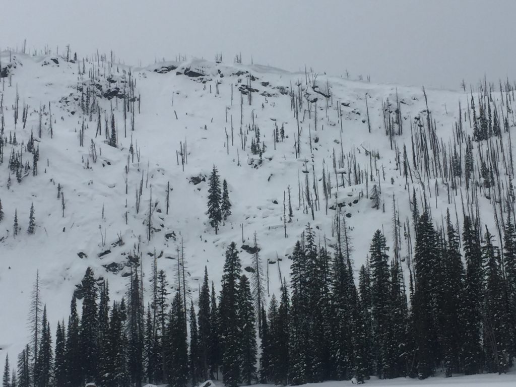
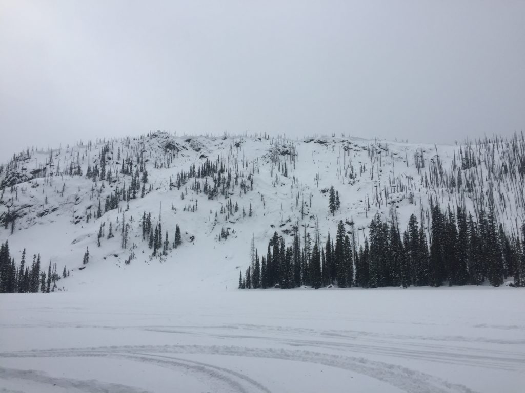
The primary problem is wind-drifted snow. Look for snowdrifts and smooth, rounded deposits of snow on ridgelines. There are small wind slabs on leeward terrain. Red flag data for wind slabs are shooting cracks when traveling across terrain. Avoid wind drifted slopes today.

The second avalanche concern is persistent slabs. The buried surface hoar and depth hoar are becoming less reactive in deeper snowpacks but are still able to be triggered in shallow snowpacks(near rock bands and cliffs). Dig a pit to the ground and see how reactive these layers are. Whumpfing and localized collapsing are sure signs of instability.

The bottom line: avoid wind loaded terrain. Do not trust our buried weak layers . Dig a pit and avoid likely trigger points on slopes where shallow snow exists(cliff bands, rock outcrops, and slope transitions). Use small test slopes with low consequences to get a feel for the snowpack.

Avalanche and Weather Outlook

Snow is in the forecast for Sunday. With the addition of a little snow look for the avalanche danger to stay the same.

Ski and ride safe.

READ FULL ADVISORY  

Problem 1 - Wind Drifted Snow

  • TYPE

    wind-slabs

    Wind Slabs

    Release of a cohesive layer of snow (a slab) formed by the wind.  Wind typically erodes snow from the upwind sides of terrain features and deposits snow on the downwind side.  Wind slabs are often smooth and rounded and sometimes sound hollow, and can range from soft to hard. Wind slabs that form over a persistent weak layer (surface hoar, depth hoar, or near-surface facets) may be termed Persistent Slabs or may develop into Persistent Slabs.

  • SIZE

    3-4

    1-2 (Small-Large)

    The potential size of avalanche resulting from this problem.

  • LIKELIHOOD

    Likelihood-3

    Possible

    The likelihood of an avalanche resulting from this problem.

  • IMAGE

Look for snowdrifts and smooth, rounded deposits of snow on ridgelines. There are small wind slabs on leeward terrain. Red flag data for wind slabs are shooting cracks when traveling across terrain. Avoid wind drifted slopes today.

Problem 2 - Persistent Slabs

  • TYPE

    persistent-slabs

    Persistent Slabs

    Release of a cohesive layer of soft to hard snow (a slab) in the middle to upper snowpack, when the bond to an underlying persistent weak layer breaks.  Persistent layers include: surface hoar, depth hoar, near-surface facets, or faceted snow. Persistent weak layers can continue to produce avalanches for days, weeks or even months, making them especially dangerous and tricky. As additional snow and wind events build a thicker slab on top of the persistent weak layer, this avalanche problem may develop into a Persistent, Deep-Slab.

  • SIZE

    5-6

    2-3 (Large)

    The potential size of avalanche resulting from this problem.

  • LIKELIHOOD

    Likelihood-3

    Possible

    The likelihood of an avalanche resulting from this problem.

The buried surface hoar and depth hoar are becoming less reactive in deeper snowpacks but are still able to be triggered in shallow snowpacks(near rock bands and cliffs). Dig a pit to the ground and see how reactive these layers are. Whumpfing and localized collapsing are sure signs of instability.


VIDEO

Observations

Observations

FORECAST & OUTLOOK

Snow is in the forecast for Sunday. With the addition of a little snow look for the avalanche danger to stay the same.


This information is the sole responsibility of the Forest Service and does not apply to operating ski areas. The avalanche danger rating expires at midnight tonight but the information can help you make a more informed decision regarding travel in avalanche terrain for the next few days.

Our advisory area includes National Forest System lands in the Bitterroot Mountains from Lost Trail Pass north to Granite Pass, the Rattlesnake Mountains north of Missoula and the Southern Swan and Mission Mountains near Seeley Lake, MT. Avalanche information for the Lookout Pass/St. Regis Basin area is available from the Idaho Panhandle Avalanche Center.