
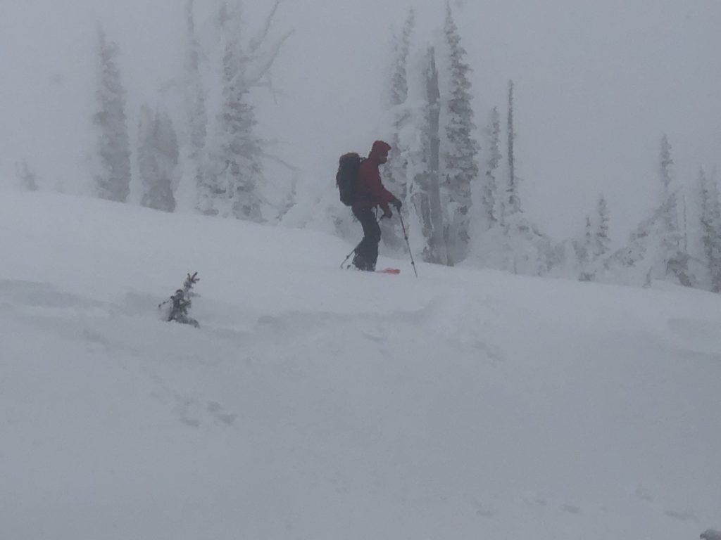
The back country avalanche danger is considerable on wind loaded terrain for West Central Montana. Human triggered avalanches are likely on wind drifted terrain. Careful route finding and snowpack evaluation are essential for backcountry travel today. On all other terrain a moderate avalanche danger exists with the potential for large avalanches in isolated terrain.
Good morning, this is Logan King with the West Central Montana Avalanche Center’s avalanche advisory for Tuesday, January 8th, 2019. This danger rating does not apply to operating ski areas, expires at midnight tonight and is the sole responsibility of the U.S. Forest Service.
Weather and Snowpack
Overnight an additional 1-4 inches of snow fell adding up to 0.3 inches of SWE. Bringing snow totals over the last couple of days up to 10-18 inches across the forecast area. Winds were strong and gusting into the 40 mph range yesterday but have calmed this morning and are from the SE-SW at 5-10 mph with gusts into the 20’s. Mountain temperatures this morning range from 5-17 degrees as of 5 am.
The storm that began to impact the region this weekend has drawn to a close. The storm came in “right side up” starting warm and getting colder resulting in cold dry snow on top of warmer dense snow. This is the good news, however there is lots of new surface snow that is readily transported by the wind and the bad news is that the combination of strong winds and plenty of snow for transport has resulted in the formation of touchy wind slabs.
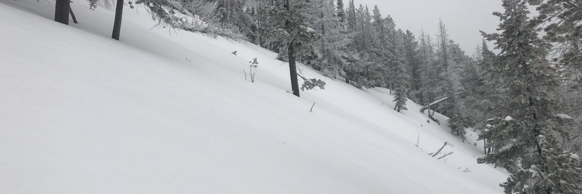
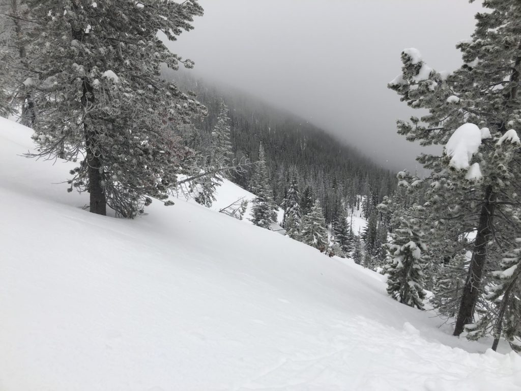
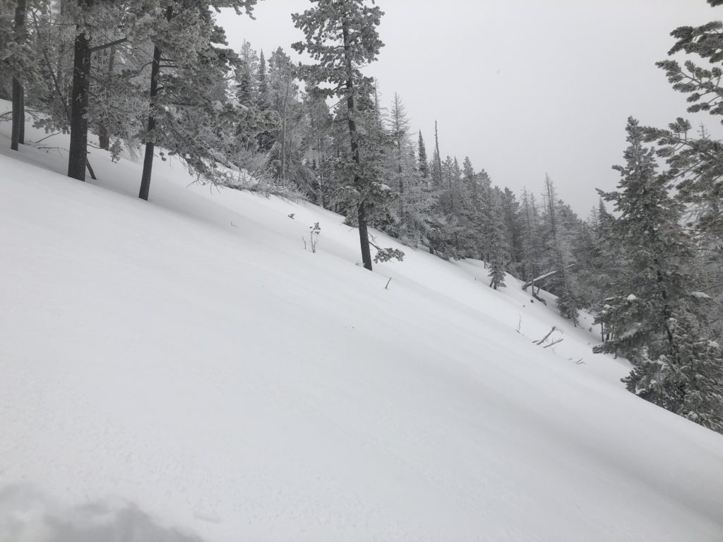
Wind-drifted snow is the primary concern today. Wind slabs are growing and loosing strength and are further complicated by the variability of the wind over the last three days. Yesterday we were able to find wind loading on nearly all aspects and also observed moderate to strong winds from nearly every direction on the compass over a short period of time. This means that wind slabs can be found on any aspect but will likely be confined to upper elevations and near ridges. What terrain is wind loaded is not easily identified so be diligent with observations while traveling and keep an eye out for cross loaded terrain.
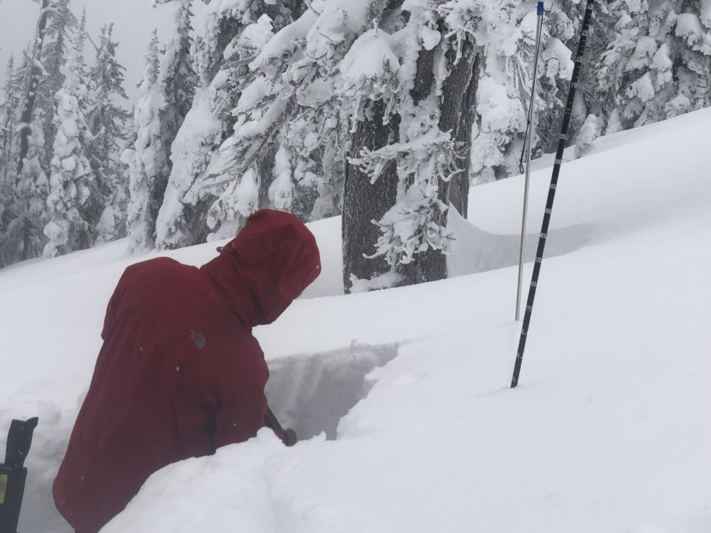
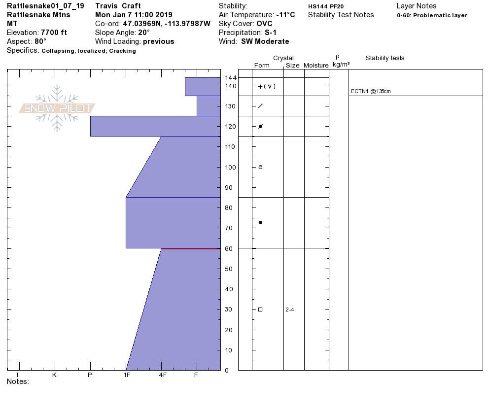
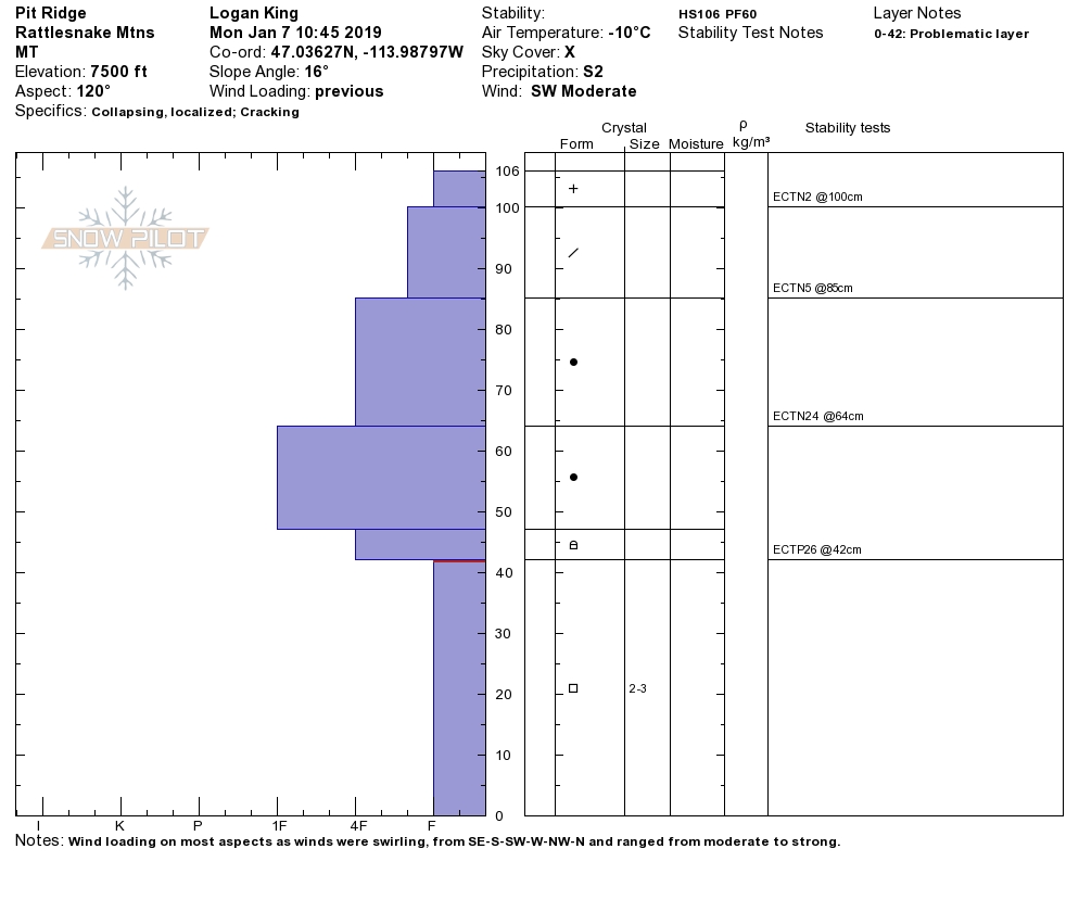
Persistent slabs are an ongoing concern as well. Persistent slabs are generally gaining strength and are not overly burdened by the new snow but continue to be reactive in isolated areas. Facets, buried surface hoar, and depth hoar can be found through the forecast area. The weak persistent layers are reactive and propagating in stability tests in isolated locations. As the likelihood of triggering these weak layer slowly drops the consequences of them failing is increasing drastically. Before committing to avalanche terrain dig a pit to identify if a weak persistent layer is present. Avoid locations with shallow or rocky terrain where the weak layers will be closer to the surface and more easily triggered.
There was an avalanche fatality over the weekend near Choteau, MT, an incident investigation was performed by the Flathead Avalanche Center and the results can be found here, this occurred outside of any forecast area. There was also an avalanche accident on the 5th in the Swan range, within the forecast area of the Flathead Avalanche Center that resulted in serious injuries. An incident investigation was performed yesterday with more info to come but the preliminary information can be obtained here. We share this information to help you make better informed decisions and learn, we ask that questioning and judging others is foregone in order to move forward from these sad events.
Avalanche and Weather Outlook
Calm winds and increasing cloud cover today will allow the snow to settle and gain strength. The avalanche danger will slowly decrease before the next system starts to impact the region on Wednesday.
Ski and ride safe.


