
The avalanche danger for the west central Montana backcountry is MODERATE. Large avalanches can be triggered in isolated locations, and smaller avalanches are possible in specific terrain. Careful evaluation is needed to identify features of concern.
Good morning, this is Travis Craft with the West Central Montana Avalanche Center’s avalanche advisory for January 15, 2019. This danger rating does not apply to operating ski areas, expires at midnight tonight and is the sole responsibility of the U.S. Forest Service.
Weather and Snowpack
Mountain temperatures range from 10 F to 29 F. In the Bitterroot winds are 13 mph with gusts of 19 mph out of the SE. In the northern part of the advisory area, winds are 6 mph and gusting to 10 mph out of the NW. There was no new snow.
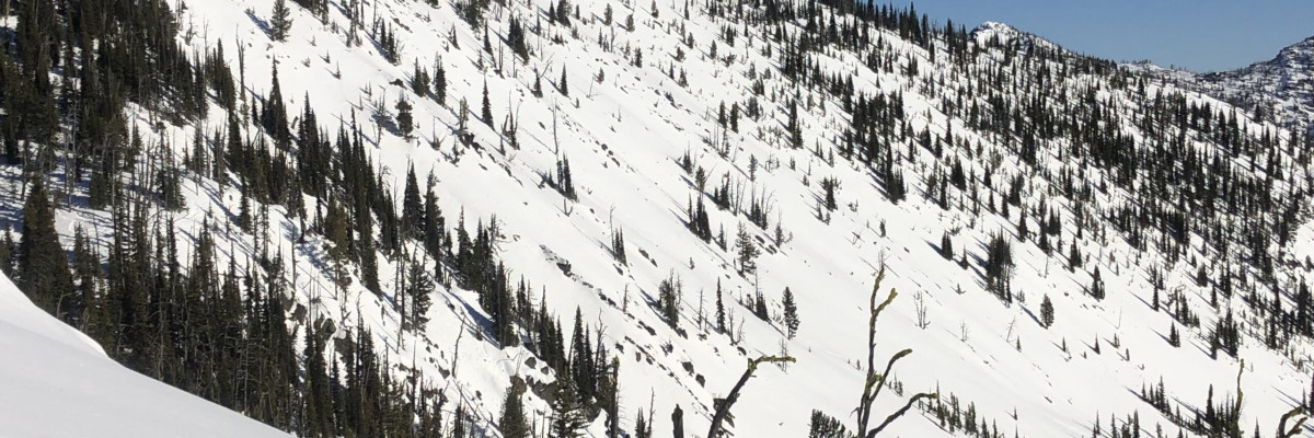
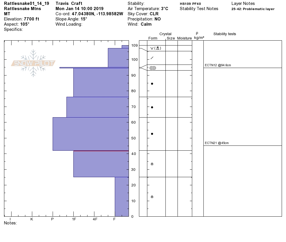
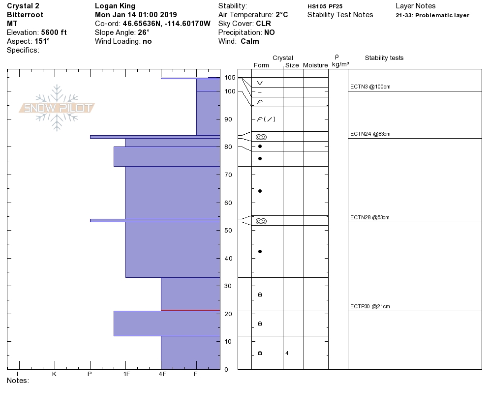
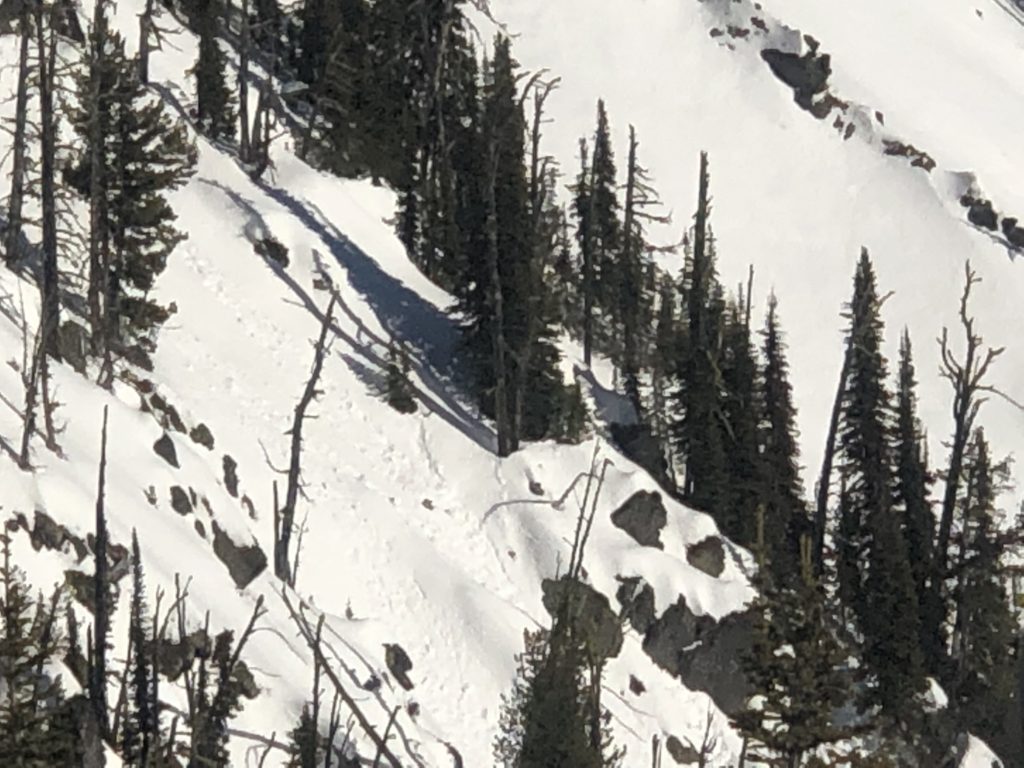
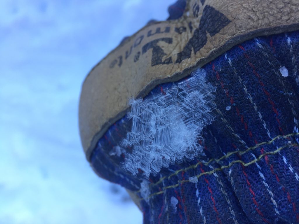
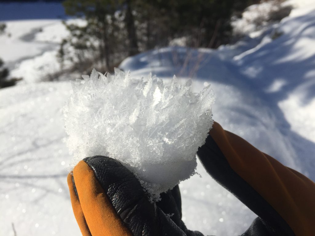
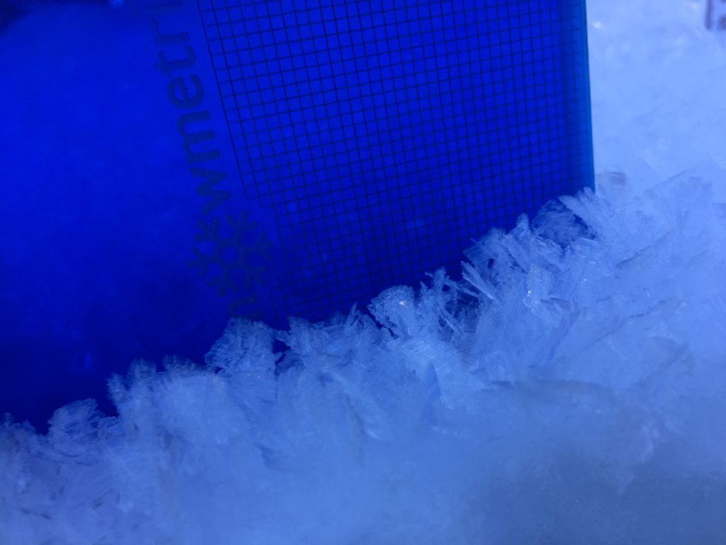
The snowpack is gaining strength on certain aspects and slopes. We are still finding facets that are reactive in pit tests. We are still getting reports of human-triggered slides. The facets are most reactive in shallow snowpacks. We are also getting reports of propagations in pit tests on buried surface hoar(Public Observations, Video).
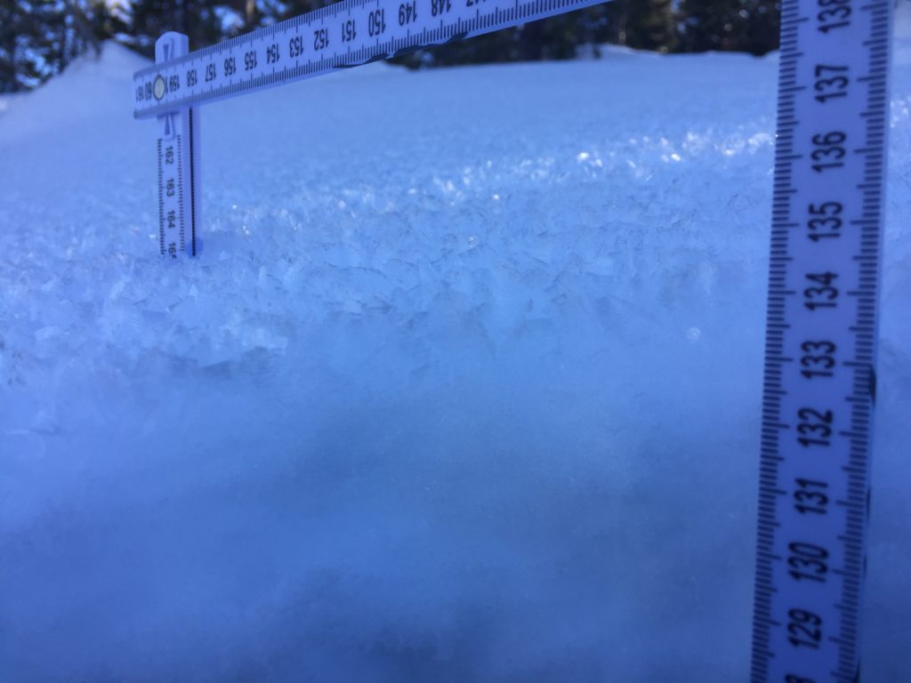
The primary avalanche problem is persistent slabs. There are facets at the bottom of our snowpack throughout the advisory area. There is buried surface hoar 50 to 70 cm from the snow surface on some aspects and slopes. These two layers are slowly gaining strength but are still reactive on certain slopes. The primary way to mitigate these problems is to avoid likely trigger points on slopes where the snowpack is shallower. The second is to dig a pit and see how reactive these layers are. There is a lot of variability in snowpack depths; some bullseye data is if you get off of your skis or machine and sink to the ground you have found our shallow, weak snowpack. It is getting harder to trigger avalanches but take the time to assess each slope and aspect.
Bottom line: Use safe travel protocols, travel one person at a time in avalanche terrain, dig a pit, and avoid likely trigger points on slopes where shallow snow exists(cliff bands, rock outcrops, and slope transitions).
Avalanche and Weather Outlook
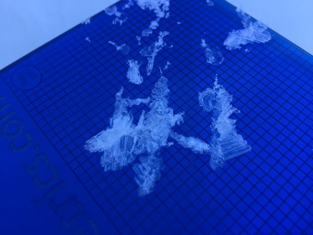
Cooler weather is coming to the mountains as the inversion breaks. Snow and wind are predicted for tonight. Over the last dry spell surface hoar has been forming. With new snow look for the surface hoar to be our new problem when it is buried(video). See the forecast. Fresh snow and buried surface hoar will increase the avalanche danger on slopes.
If you get out into the mountains, please share what you see on our public observations page. They are not only helpful to your community but extremely helpful to us.
Ski and ride safe.


