
Currently, a CONSIDERABLE avalanche danger exists for the West Central Montana backcountry. Dangerous avalanche conditions are present and human triggered avalanches are likely on specific terrain and at certain locations. Careful snowpack evaluation, cautious route-finding, and conservative-decision making are essential for mountain travel today.
Good morning, this is Logan King with the West Central Montana Avalanche Center’s avalanche advisory for Monday, January 21st, 2019. This danger rating does not apply to operating ski areas, expires at midnight tonight and is the sole responsibility of the U.S. Forest Service.
Weather and Snowpack
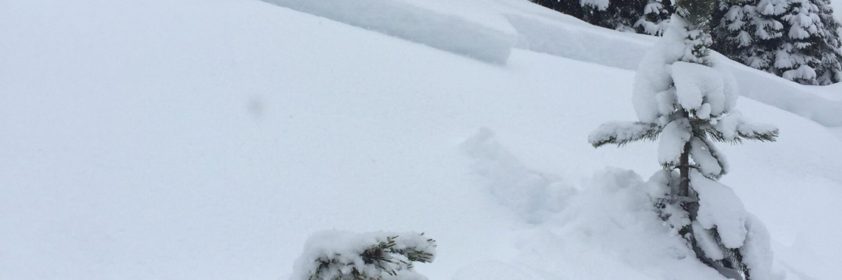
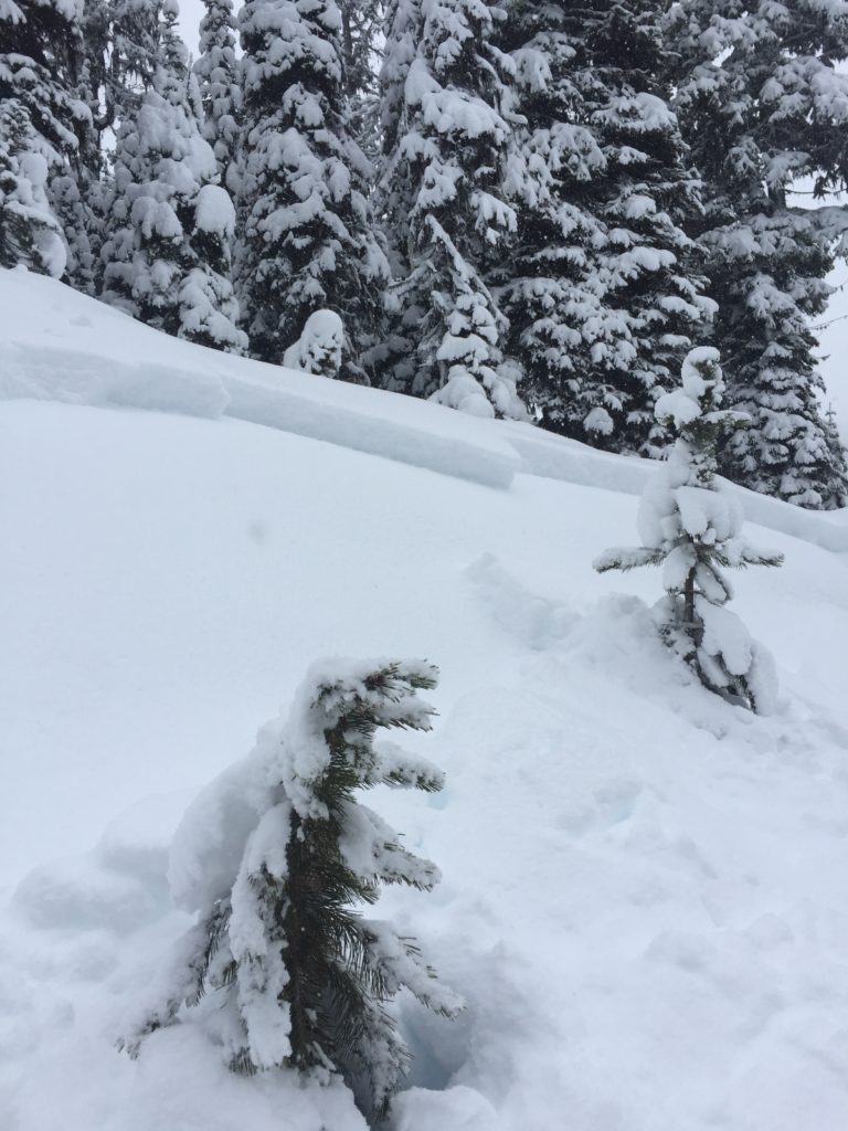
Sunday brought another round of snow to West Central Montana. Snowfall started mid-morning yesterday and has since deposited 4-8 inches of new snow and up to 0.5 inches of SWE. The storm came in with light southerly winds which have shifted to a more westerly flow and are currently 5 mph with gust to around 8 mph.
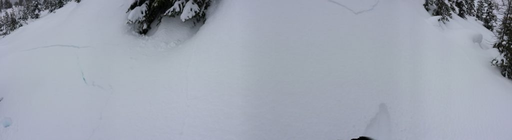
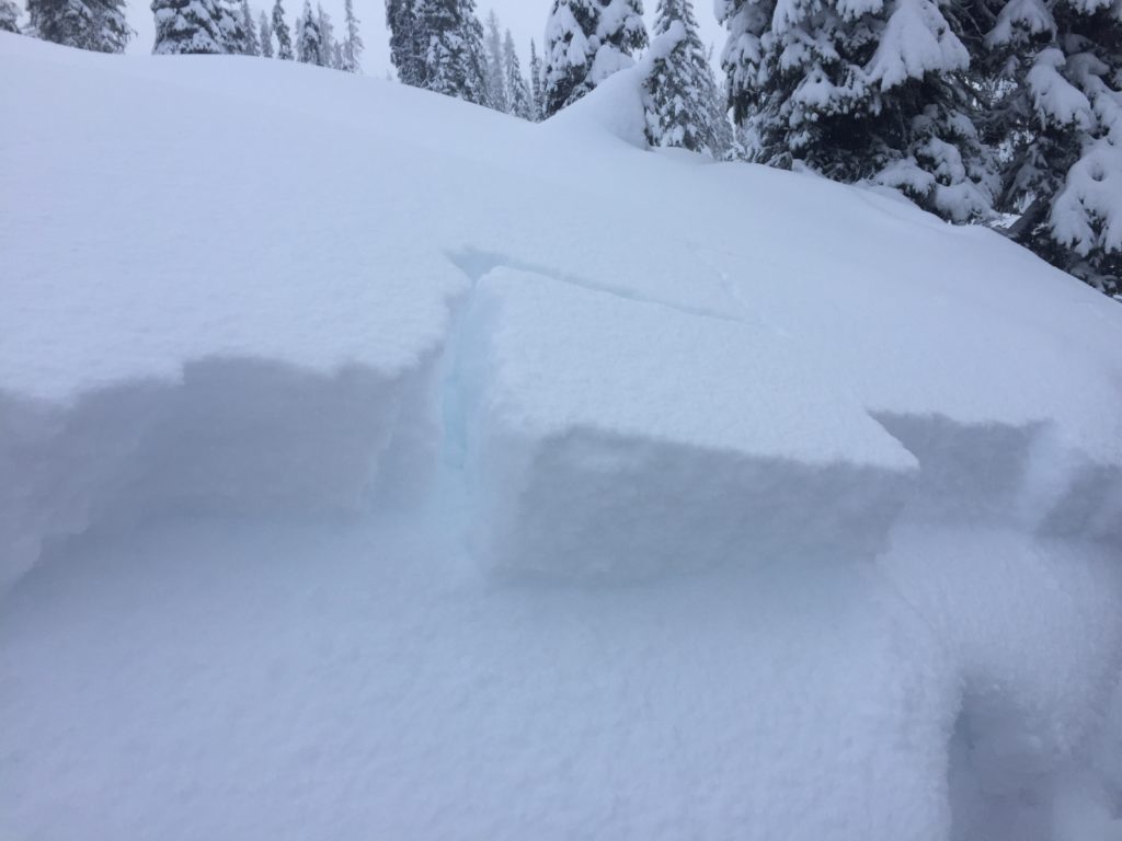
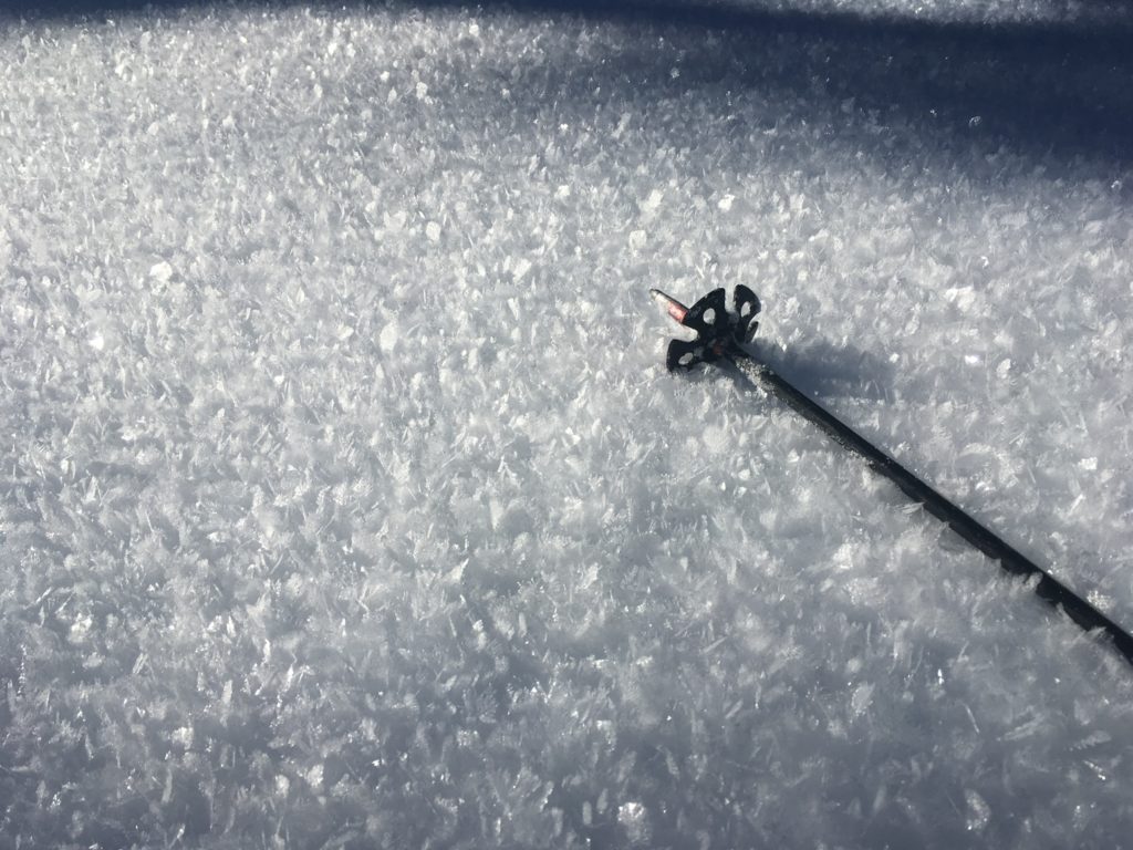
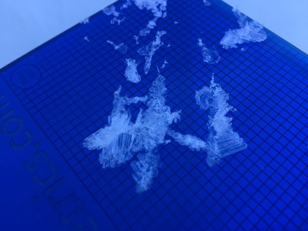
The biggest concern today continues to be persistent slabs. A significant load of new snow has fallen across the region and at many locations is sitting on a variety of weak layers and bed surfaces. There is a pronounced layer of large surface hoar that formed over the dry spell from the last few weeks. This is primarily found in a band at mid to low elevations around 5,000 feet to 6,500 feet. We were worried about this layer as snow returned to the region, and our concerns were confirmed over the weekend as we received numerous reports (public observations) of significant instability in locations where the surface hoar has been buried including; whumphing, shooting cracks and a human triggered slide.
There are also locations where surface hoar has been buried but is much smaller and not as reactive. This layer is more widespread and harder to pinpoint until you start to perform stability tests. Similarly there are some aspects that formed a melt freeze or sun crust instead of forming facets and surface hoar. Locations that have a stout crust will take longer to bond with the new snow and will also provide a good bed surface for the newly formed slab to slide on.
The weak faceted snow near the ground and the older BSH layers should be on your radar again as they are not likely to be triggered by a skier or rider but will easily step down if a slide is initiated on a slope. Keep in mind that if you are able to trigger these layers directly or indirectly that the resulting avalanche will be very large and will have high consequences.
Finally the new snow will need another day or two to settle and bond regardless of what surface it has been falling on. Winds were relatively light with this storm system but locations with any wind deposited snow will have an increased avalanche danger. Remember that the majority of avalanche accidents occur within a day or two following a storm. Avoid steep terrain for a few more days at least to allow the new snow some time to gain strength.
Avalanche and Weather Outlook
Snow is expected to continue through mid-day today before dropping of later today. The Avalanche danger will remain the same through the day today and will slowly start to decrease over the next few days.
If you get out into the mountains, please share what you see on our public observations page. They are not only helpful to your community but extremely helpful to us.
Ski and ride safe.


