
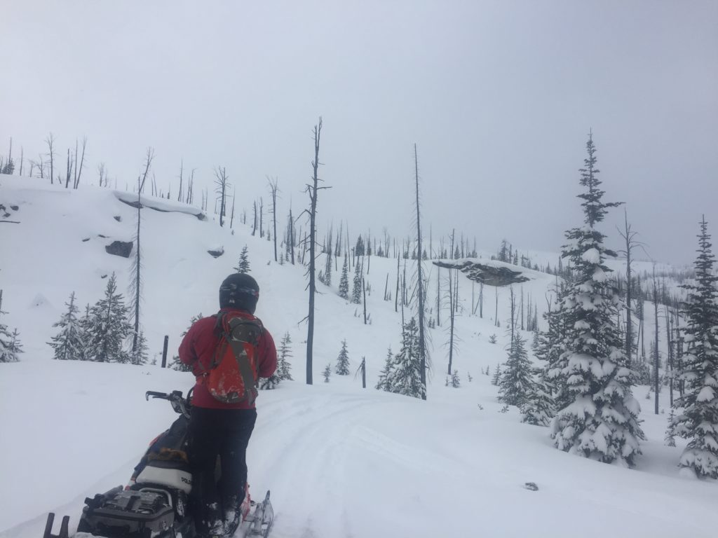
The avalanche danger is CONSIDERABLE between 5,000 and 6,500 feet for the West Central Montana backcountry. Human triggered avalanches are likely in this elevation band. Carefully evaluate the snowpack and terrain, and utilize conservative routes and decision making in order to avoid avalanches today. On terrain above 6,500ft the avalanche danger is moderate.
Good morning, this is Logan King with the West Central Montana Avalanche Center’s avalanche advisory for Tuesday, January 22nd, 2019. This danger rating does not apply to operating ski areas, expires at midnight tonight and is the sole responsibility of the U.S. Forest Service.
Weather and Snowpack
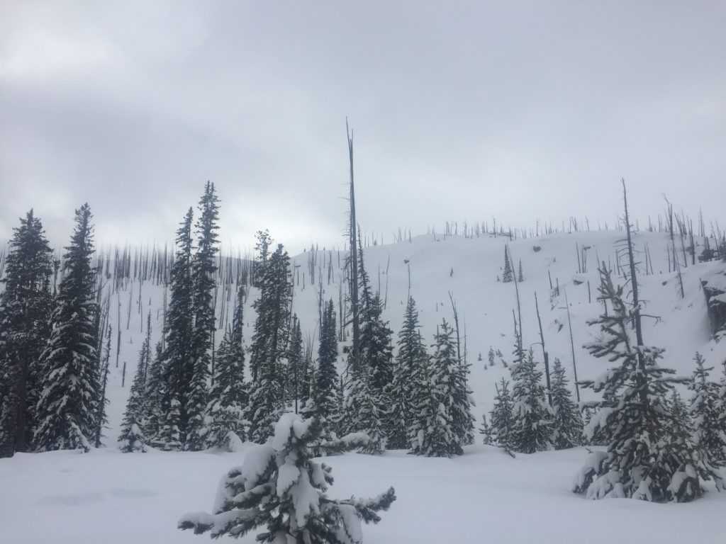
Skies cleared overnight and mountain temperatures dropped. As of 5 am this morning, temperatures are in the teens across the region. Winds are calm out of the SW at 7 mph with gusts up to 10 mph. Most mountain locations did not see any snow since yesterday afternoon, but a few isolated locations picked up an additional 1-2″ of snow.
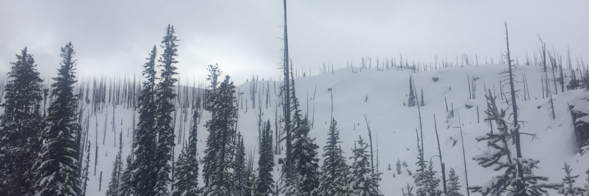
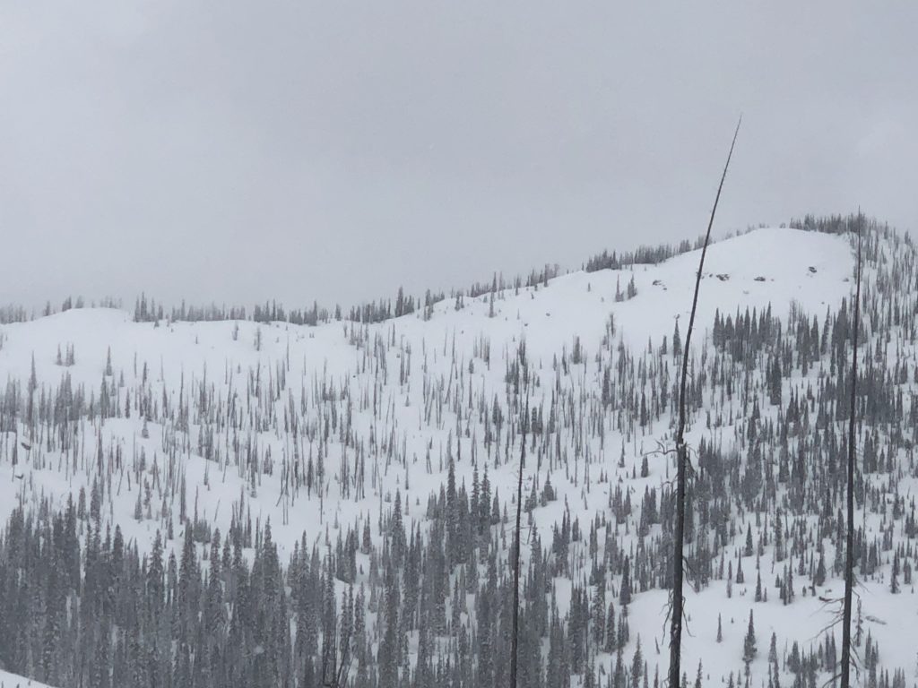
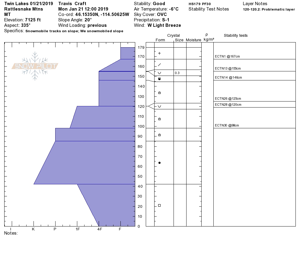
During the extended inversion earlier this month, large surface hoar formed between approximately 5,000ft-6,500ft. This surface hoar is now buried under 12-24 inches of snow and is easily triggered. Locations where the BSH is present have been showing many signs of instability such as whumphing, shooting cracks and even resulted in a human triggered slide over the weekend. If you are recreating below 6,500 feet, make sure that this layer is not present before traveling on, below, or near avalanche terrain. Persistent weak layers like BSH have the ability to propagate failures long distances, so give any slope with BSH a wide berth.
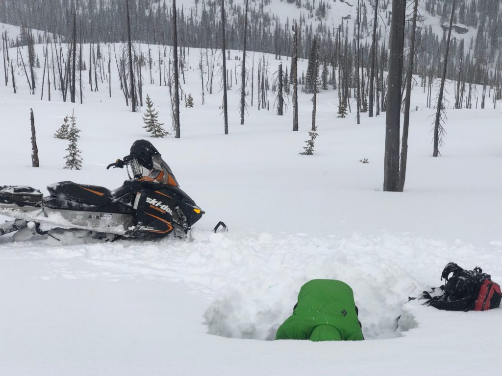
The older layers of BSH continue to gain strength but can’t be fully trusted yet. Facets can be found at the bottom of the snowpack throughout the forecast area as well. These persistent weak layers will be a concern at all elevations but are not nearly as reactive in stability tests. Take a few minutes to dig a pit to see if these layers are present and reactive before committing to avalanche terrain. Avoid areas with shallow snow or near rock outcrops, as they are likely trigger points for these layers.
Wind slabs can be found at upper elevations near ridges and in isolated pockets. Winds have been variable so small pockets of wind loaded terrain can be found on nearly any aspect. With the shifting winds, cross loaded terrain will be difficult to identify so keep your eyes peeled for any signs of recent wind transport.
Avalanche and Weather Outlook
Today should bring a relatively calm weather pattern before another systems moves in tonight (forecast). The avalanche danger will not change much today but will climb Wednesday as the snow starts to pile up. Snow should start to accumulate tonight with another 6+ inches possible through the day tomorrow (forecast) but rain lines are still in question through the afternoon tomorrow. Snow totals by Thursday morning will be close to a foot at most locations if the system plays out as expected.
If you get out into the mountains, please share what you see on our public observations page. They are not only helpful to your community but extremely helpful to us.
Ski and ride safe.


