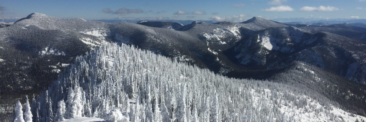

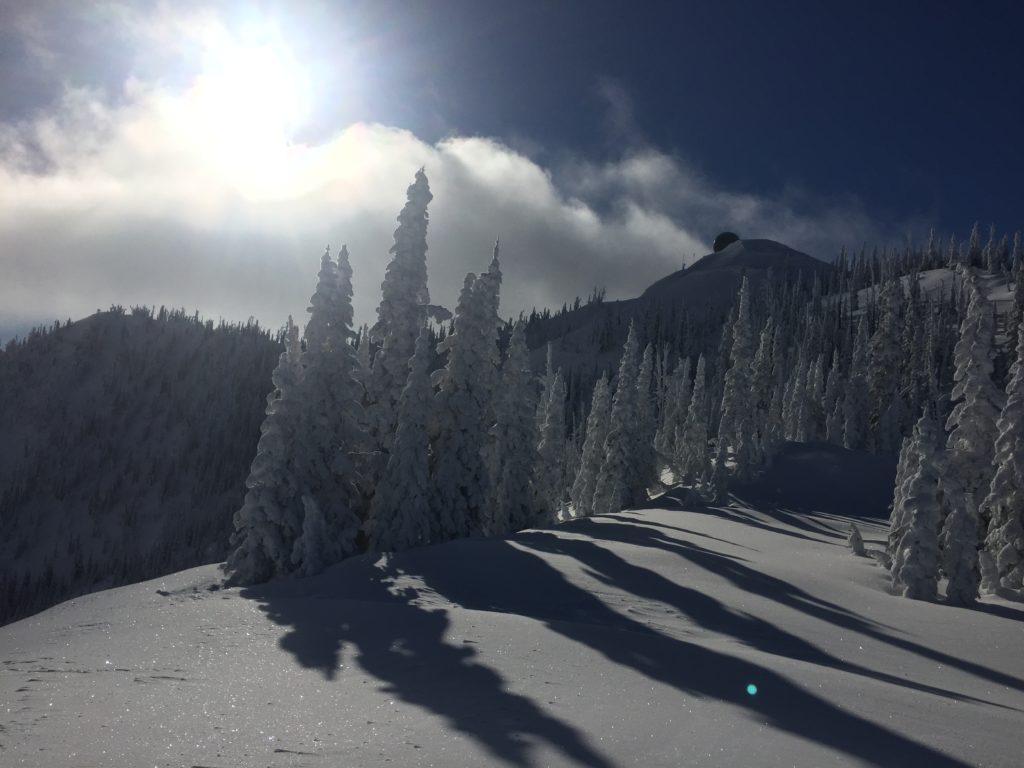
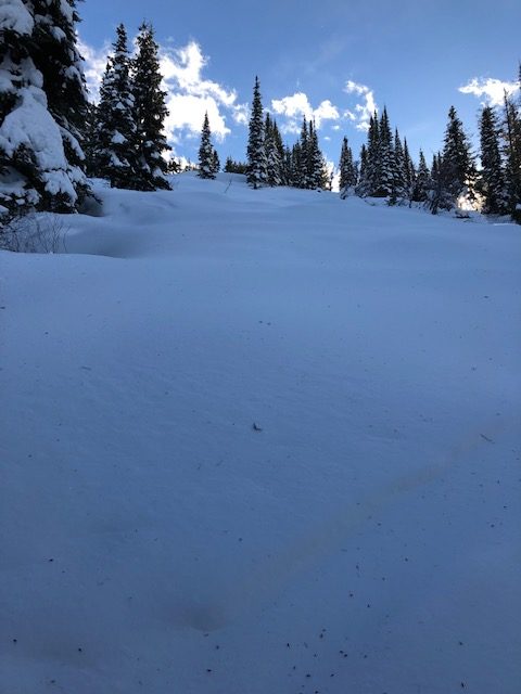
The avalanche danger for the west central Montana backcountry is MODERATE. Large avalanches can be triggered in isolated locations, and smaller avalanches are possible in specific terrain. Careful evaluation is needed to identify features of concern.
Good morning, this is Travis Craft with the West Central Montana Avalanche Center’s avalanche advisory for January 29, 2019. This danger rating does not apply to operating ski areas, expires at midnight tonight and is the sole responsibility of the U.S. Forest Service.
Weather and Snowpack
Mountain temperatures range from 1 F to 18 F. In the Bitterroot winds are 3 mph with gusts of 5 mph out of the SE. In the northern part of the advisory area, winds are calm. No new snow overnight.
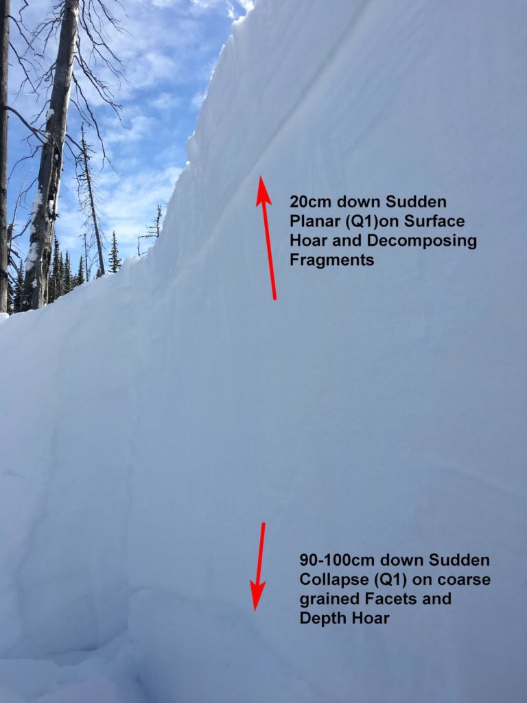
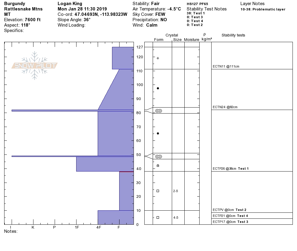
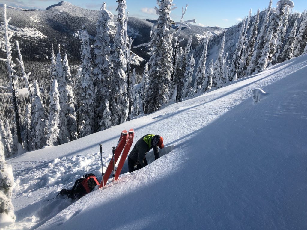
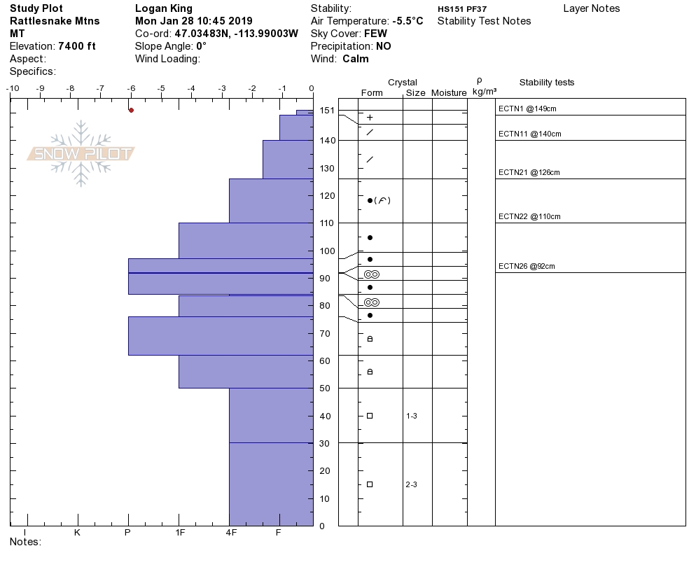
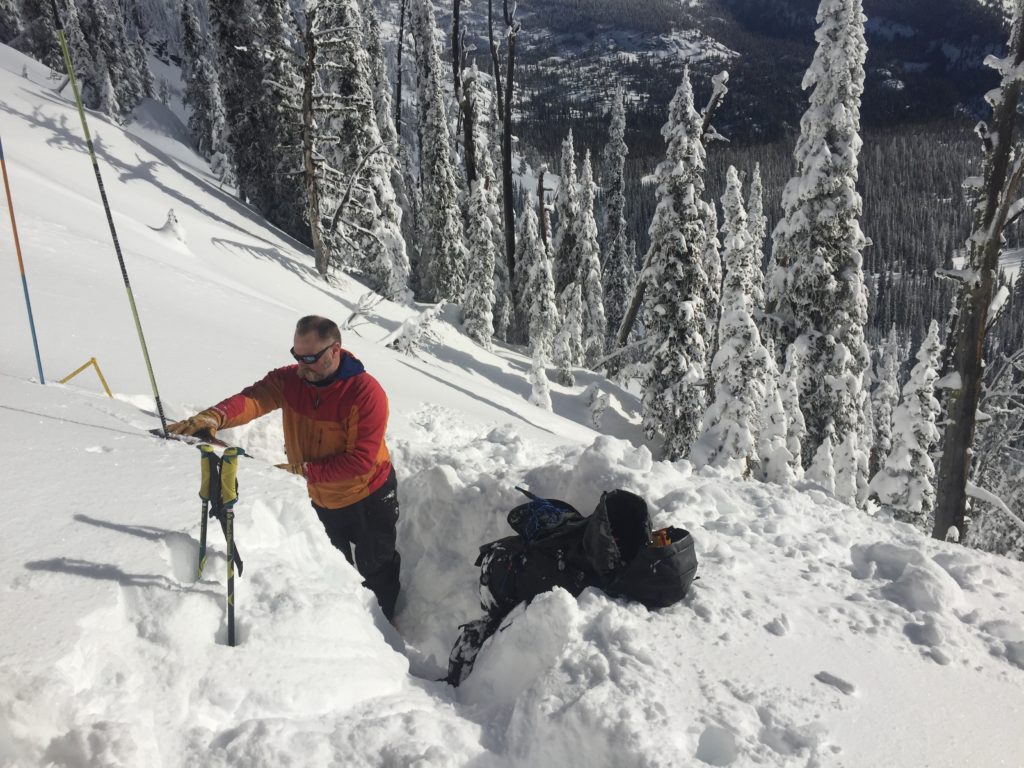
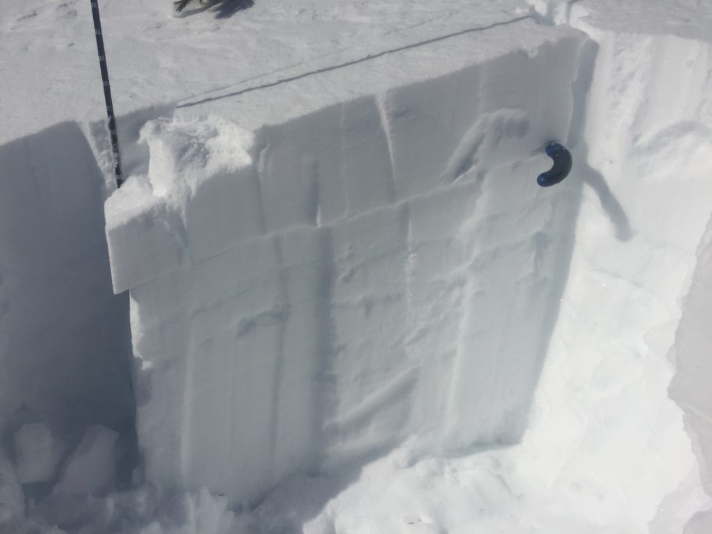
Over the weekend we got several public observations. The main concern is still persistent slabs. Yesterday, I was able to get the facets near the ground to fail in 4 stability tests on a slope. One column propagated while I was cutting the block(Video). These are signs of instability. A skier triggered avalanche was reported over the weekend outside the advisory area in the Sapphire range(observation). There have been several fatalities in the U.S. in the last week. One was from the Tobacco Root range outside any forecast area(report). The snowpack is variable this year and is complex.
The primary concern is persistent slabs. There are buried weak layers throughout the forecast area. There is buried surface hoar 2 feet from the surface and there are facets at the bottom of the snowpack. These layers are getting harder to trigger but, if you trigger them, the avalanche will be large and have high consequences.
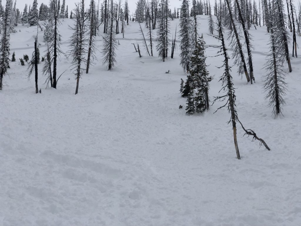
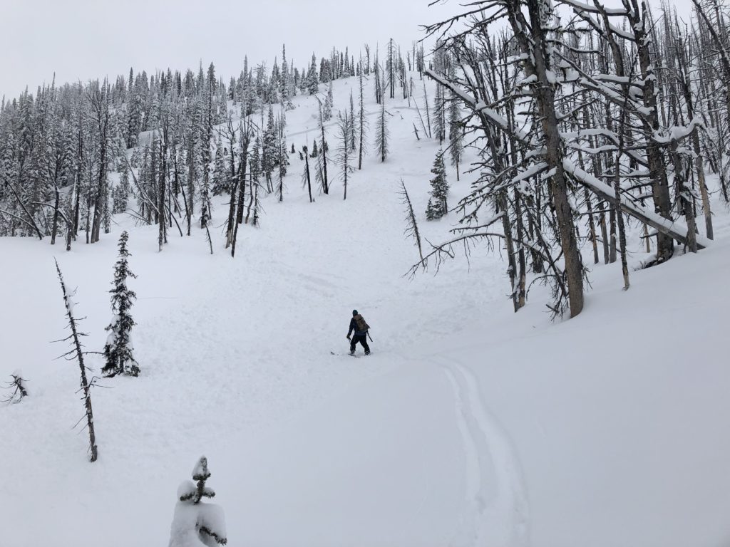
The only way to mitigate persistent weak layers is to dig a pit, see if these layers are present, and reactive in pit tests. The second is avoid likely trigger points on slopes(cliff bands, rock outcrops, and slope transitions) where the snowpack is shallow. Choose slopes with clean runout zones that avoid terrain traps(cliffs, trees, and rocks) and are less than 35 degrees.
The bottom line is we have a variable snowpack in the forecast area. The odds of triggering an avalanche are decreasing but if you do it will be a very large avalanche and most likely unsurvivable. Choose lower angle terrain, put your shovel in the snow and do stability tests before committing to any avalanche terrain. Keep the terrain simple, slopes that do not have lots of transitions and rocky terrain.
Avalanche and Weather Outlook
We are entering a period of high pressure. Expect the avalanche danger to stay the same. See the forecast. Look for warming on sun exposed slopes on Wednesday which will produce wet loose avalanche problems if we get the forecasted temperatures. Remember changing weather means changing avalanche danger.
The beacon checker outside the Snowbowl ski area is not working. Remember that a beacon checker does not take the place of doing a partner multifunction beacon check.
As always, if you make it out please feel free to share what you find on our public observations page.
Ski and ride safe.


