
The avalanche danger for the west central Montana backcountry is CONSIDERABLE on wind loaded slopes. All other slopes have a MODERATE danger. Identify wind loaded slopes and avoid them. Careful evaluation is needed to identify features of concern.
Good morning, this is Travis Craft with the West Central Montana Avalanche Center’s avalanche advisory for February 14, 2019. Today’s advisory is sponsored by Yurtski. This danger rating does not apply to operating ski areas, expires at midnight tonight and is the sole responsibility of the U.S. Forest Service.
Weather and Snowpack
Mountain temperatures range from 14 F to 20 F. In the Bitterroot winds are calm. In the northern part of the advisory area, winds are 6 mph and gusting 9 mph out of the ENE. Snotels are reporting between .3 and .7 inches of SWE for the last 24 hours.
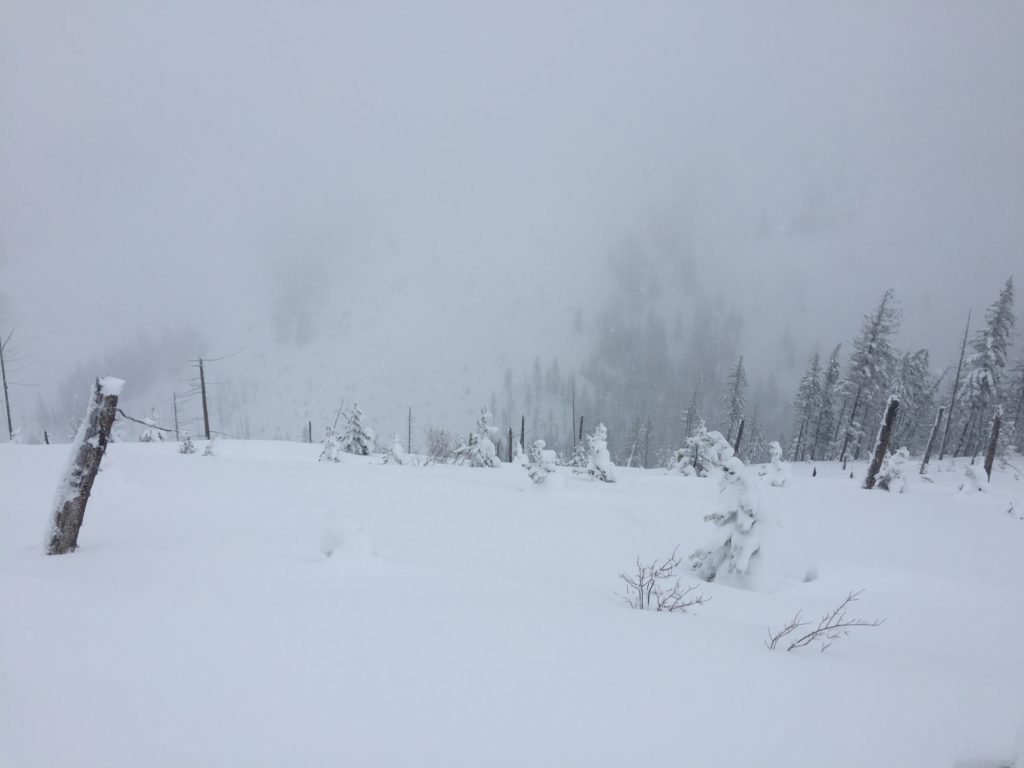
Our forecast area has received several new inches of snow over the last 24 hours accompanied by moderate winds. The region will see rising temperatures today and no precipitation during the day.
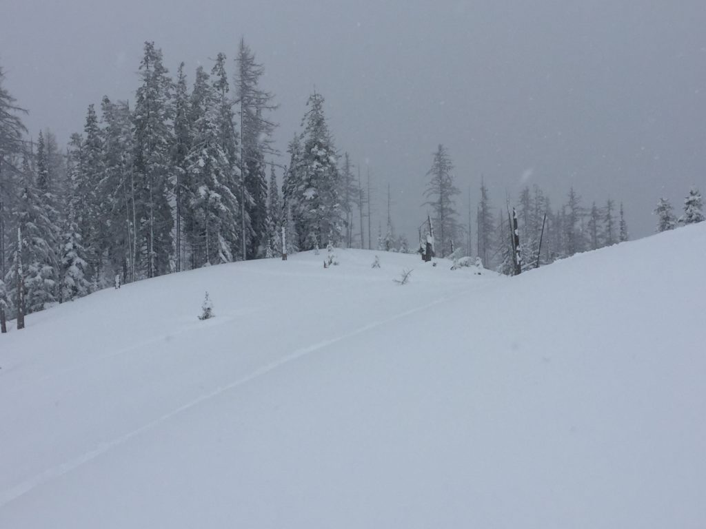
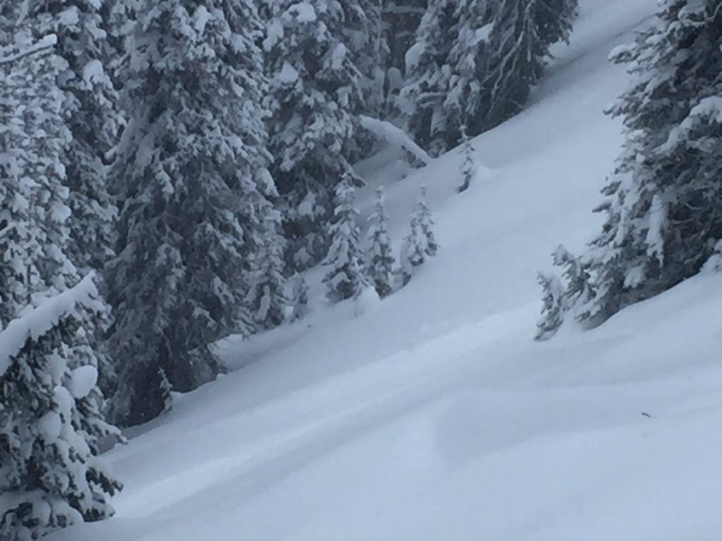
The primary avalanche problem is wind drifted snow. Winds have loaded leeward slopes. Look for wind slabs on exposed terrain on northwest, northeast, and southeast aspects. These slabs are sensitive to human triggers. Look for smooth rounded pillows and drifts on ridges and cross-loaded slopes. Identify these slopes and avoid traveling on them.
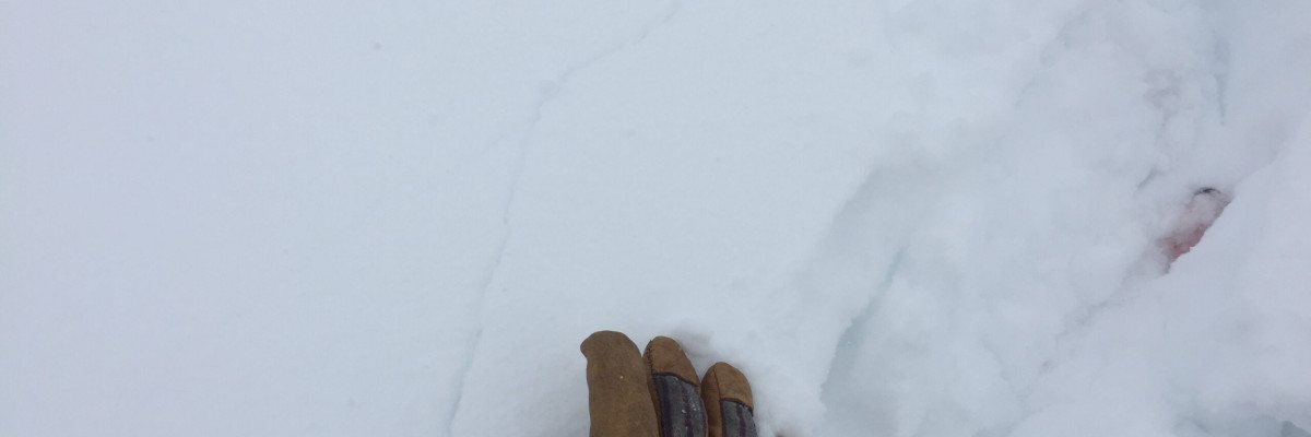
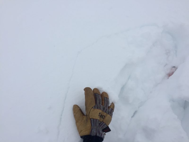
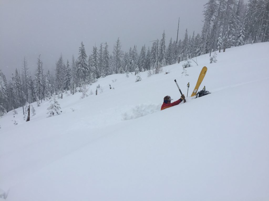
The second avalanche problem is new snow. Look for large loose snow avalanches and storm slabs. We saw several point releases yesterday and saw the new snow start to slab up later in the day. Shooting cracks and natural avalanche activity are red flags of instability. Use small test slopes with low consequences to see how the new snow is bonding to old snow surfaces(video)(video).
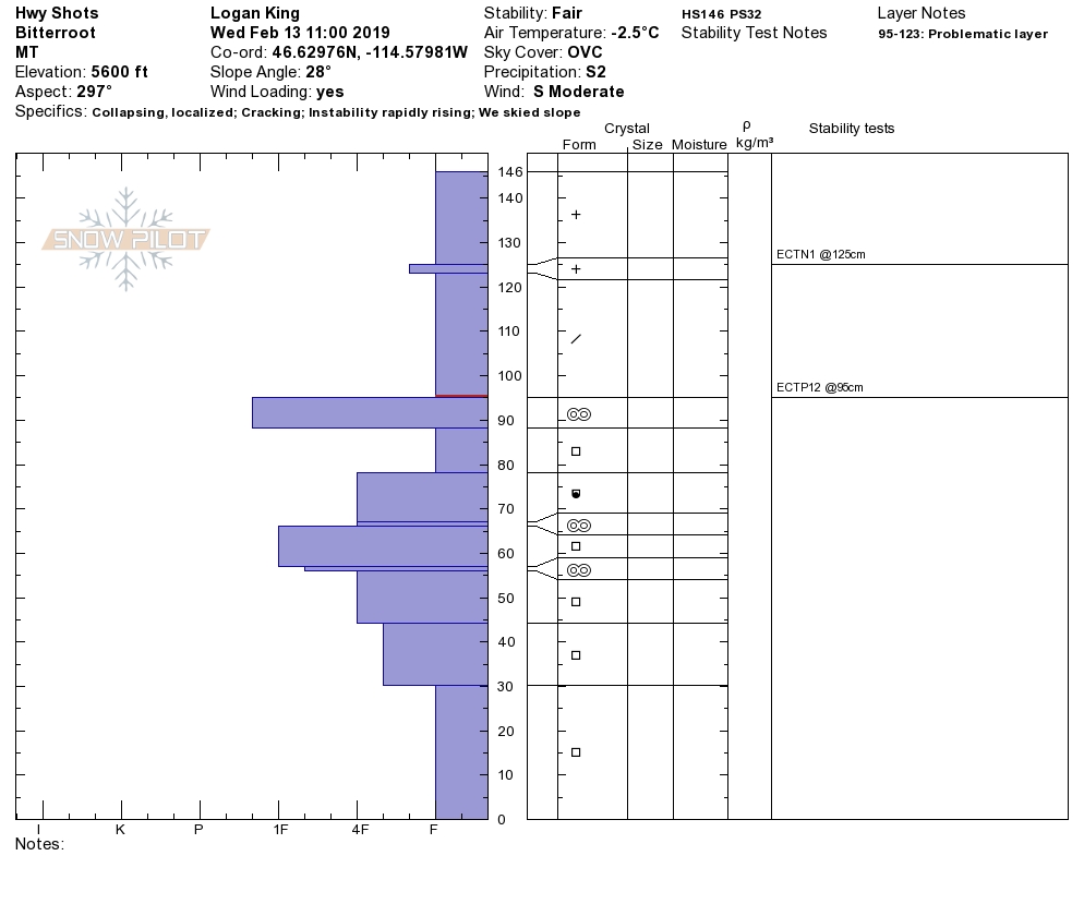
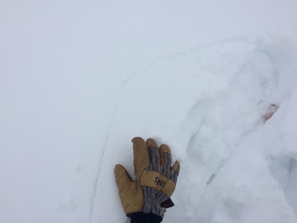
The final avalanche problem is persistent slabs. We have weak layers in our snowpack, buried surface hoar, and facets. Dig a pit 3 feet down and see if any of our weak layers are reactive in pit tests.
Bottom line: Today the snowpack is adjusting to the new load of snow. Avoid wind drifted slopes. Dig a pit to see how the new snow is bonding to old snow surfaces and how the weak layers in our snowpack are adjusting to the new load of snow. Use test slopes and lower angle terrain to check the bonding of new snow to old snow surfaces. Pay attention to changing conditions and look for red flags(shooting cracks, natural avalanche activity, and collapsing).
Avalanche and Weather Outlook
Today, look for warming temperatures. The avalanche danger will stay the same today. Snow will enter the forecast area tonight with high snowlines in the Bitterroot. See the forecast here. New snow and wind will increase the avalanche danger overnight and into Friday.
As always, if you make it out, please, feel free to share, what you find on our public observations page.
Ski and ride safe.


