
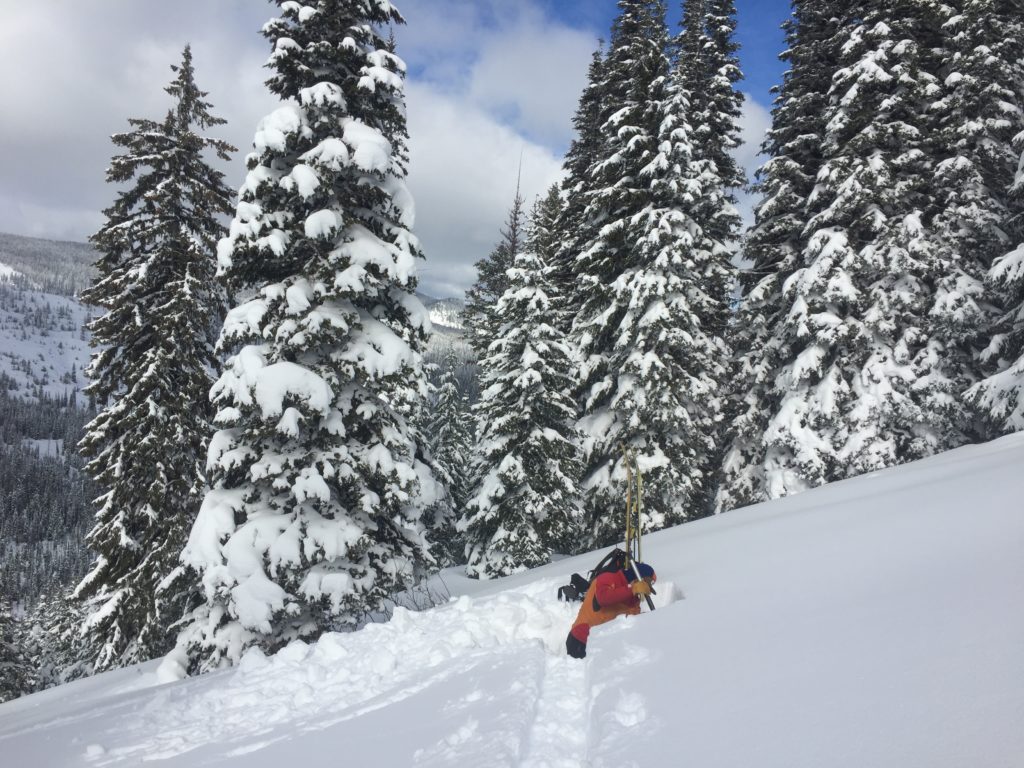
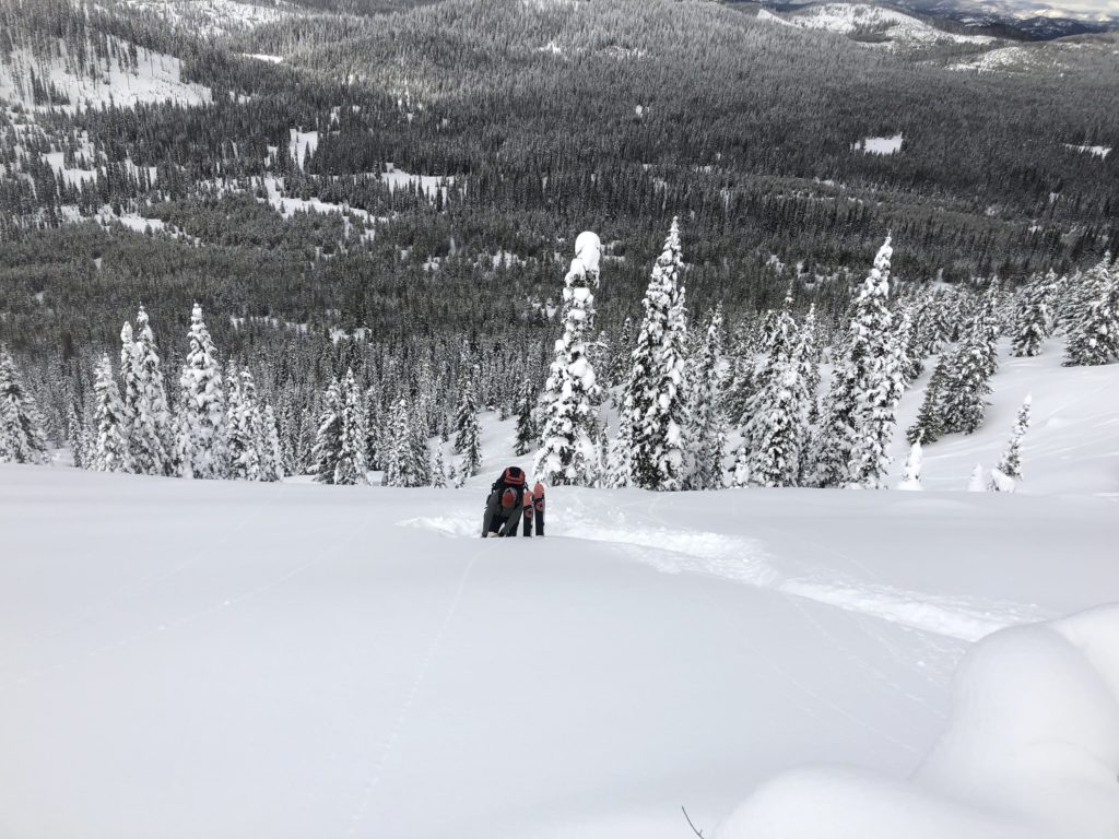
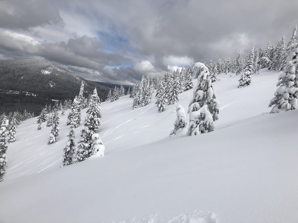
The avalanche danger for the west central Montana backcountry is MODERATE. Heightened avalanche conditions are present on specific terrain. Carefully evaluate snowpack and terrain to identify areas of increased hazard. Human triggered avalanches of varying size are possible.
Good morning, this is Logan King with the West Central Montana Avalanche Center’s avalanche advisory for Thursday, February 21st, 2019. This danger rating does not apply to operating ski areas, expires at midnight tonight and is the sole responsibility of the U.S. Forest Service.
Weather and Snowpack
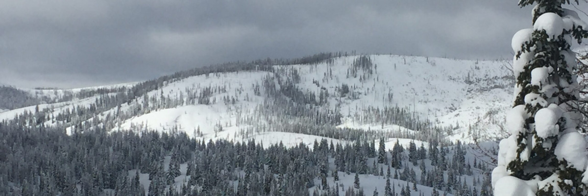
Most locations have received 1-2 inches of snow in the past 24 hours while a few locations got up to 4 inches. Winds are developing out of the NE at 6 mph with gusts up to 20 mph. Mountain temperatures range from -3 to 12 degrees this morning.
There are a number of different problems that are possible depending on the mountain range, aspect, and elevation. To help understand the multitude of problems we will discuss and order them in regards to size. Small loose wet avalanches are possible to likely. The loose wet slides will be focused on solar aspects and will become more active with increased sun later in the day. If roller-balls start to develop, move to a cooler aspect to avoid getting carried into terrain traps by wet and heavy snow.
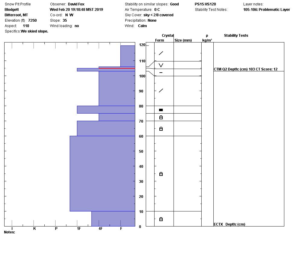
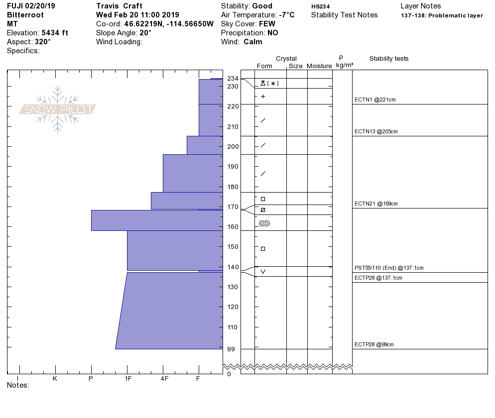
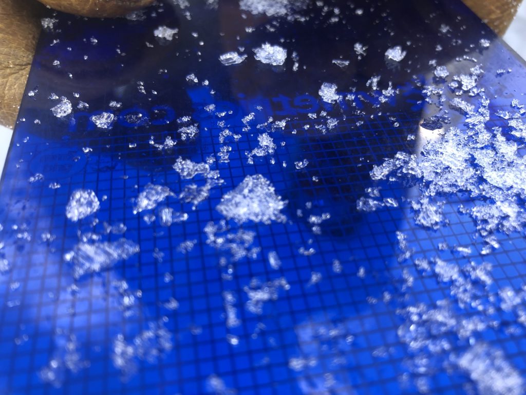
Small pockets of wind drifted snow have created soft wind slabs that can be found on just about every aspect. Due to the variable winds, the smaller wind slab can be hard to identify especially in terrain that is cross loaded. Slightly larger than these wind slabs are a persistent slab. Facets just below the storm snow are not overly reactive due to the lack of a slab overlying them but warrant evaluation. Buried surface hoar can be found on the uppermost crusts at some locations and will be a concern until the crystals break down further. The persistent weak layers near the surface appear to be concentrated in the Bitterroot range or locations with shallower snow.
Large Wind slabs are possible in isolated areas. Reports of larger wind slabs continue to roll in but are occurring in single couloirs or isolated slopes with no consistent aspect but tend to be concentrated at upper elevations or just below ridges. Larger wind slabs are also more reactive when they are overlying cold preserved storm snow that fell earlier this month.
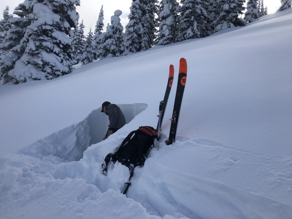
Very large persistent slabs are unlikely but could easily be triggered as a step-down avalanche. Surface hoar that formed in mid-January as a bathtub ring can be found well preserved and still very large on cold and shaded aspects below approximately 6,000 feet. If this layer is initiated it will propagate easily and create very dangerous avalanches (video). Large to very large avalanches are unlikely on facets near the ground or depth hoar. Similarly, the deep facets are unlikely to trigger but under the right circumstances could be activated in a step-down avalanche which would be scary, to say the least. These layers won’t give you any red flag warning and can only be identified by digging a pit and performing stability tests. If you find deep BSH or Facets with any other signs of weakness above them seriously consider the consequences of these deep layers failing.
Bottom line: Right now, avalanches of varying size and problem can be found on nearly any aspect or elevation. Even with a moderate danger, this means that you have to be on your game. Observe conditions carefully, to identify what problems are present and where.
Avalanche and Weather Outlook
Light snow showers are possible today producing minimal accumulations of snow. Light to moderate winds are forecasted out of the NE which will shift to the SW tonight as the next round of snow sets up for this weekend (Forecast). Avalanche danger will remain the same through the day today and into tomorrow.
There has been an increase in public observations lately, which is invaluable to us as forecasters and a great resource for our community. Keep sharing what you are finding.
Ski and ride safe.


