
The avalanche danger early this morning is moderate but will shift towards considerable as the day progresses. This morning, human triggered avalanches are possible but will trend towards likely as the new snow stresses the snowpack and new problems develop. Dangerous avalanche conditions will emerge and will require careful snowpack evaluation, cautious route-finding and conservative decision making.
Good morning, this is Logan King with the West Central Montana Avalanche Center’s avalanche advisory for Saturday, February 23rd, 2019. This danger rating does not apply to operating ski areas, expires at midnight tonight and is the sole responsibility of the U.S. Forest Service.
Weather and Snowpack
Over the last 24 hours, the forecast area has picked up 3 to 6 inches of new low-density snow. The fresh snow has added 0.2-0.5 inches of SWE. Mountain temperatures as of 4 am this morning are in the teens. The winds are 6 mph with gusts up to 16 mph from the SE in the southern Bitterroot and primarily S in the northern region of the advisory area.
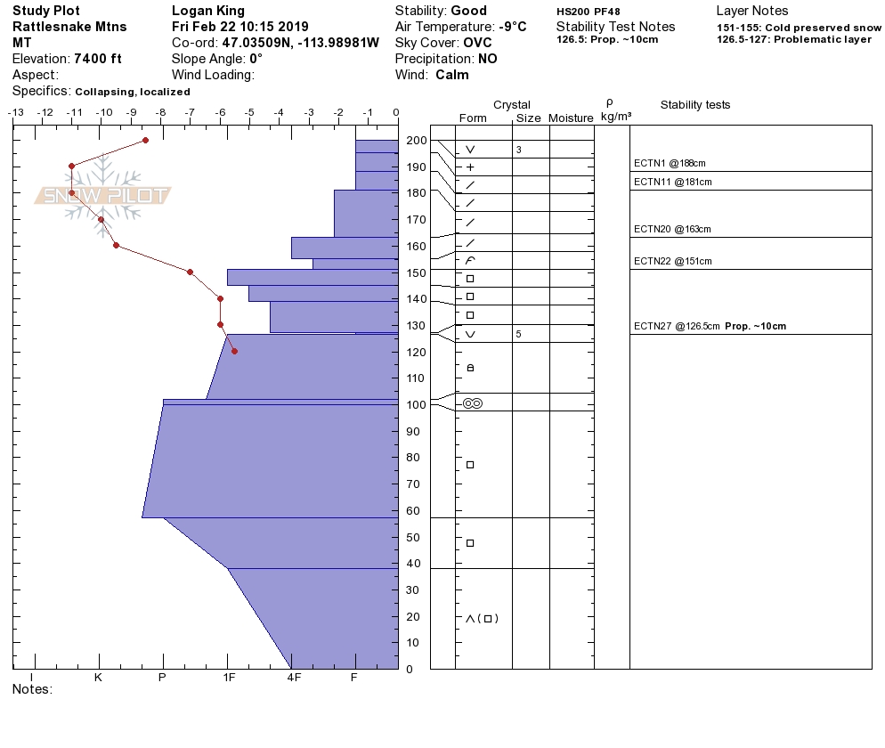
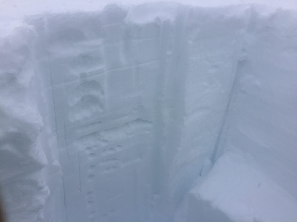
Persistent slabs are a significant concern today. A layer of surface hoar is getting buried by the new snow and will become reactive as a slab forms over this weak layer. There are other layers of buried surface hoar that were gaining strength but will be under more stress with the new load of snow. A layer of cold preserved storm snow is still suspect and can be reactive at some locations; this layer is hard to identify but can be found when performing stability tests. Faceted snow has the potential to become more responsive with the new load as does the depth hoar, although it is deep an unlikely to be triggered except in a step-down avalanche.
Winds have mostly been light but ramped up to moderate strength for a few hours yesterday evening. Wind slab development occurs much faster so the small wind slabs likely grew overnight. There is plenty of snow for transport and in areas with more powerful winds look for growing wind slabs. Larger wind slabs are possible in bigger terrain like high elevation bowls and below summit ridges. The variable winds have again made it difficult to identify all terrain that is loaded, and there is a significant amount of cross loaded terrain right now. Be on the lookout for any signs of wind loading and stay aware of conditions as the change through the day today.
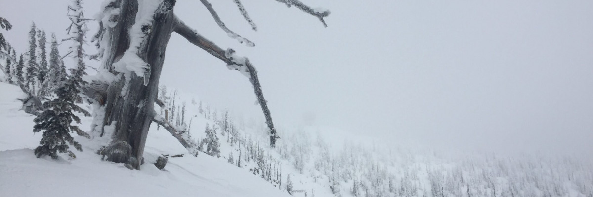
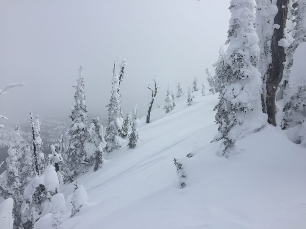
Loose snow avalanches will easily be triggered in steep terrain today. The new snow is light and will sluff readily. Avoid terrain traps as they increase the consequences of getting knocked off your feet or sled and going for a ride. The loose surface snow will become more problematic as more snow is added over the weekend and starts to form a slab creating new widespread storm slabs.
Avalanche and Weather Outlook
Snowfall has slowed this morning, but an additional 2-4 inches of low-density snow are expected today. Winds should build and shift to the E-NE and begin to redistribute the new low-density snow. Another round of snow is setting up for tonight into Sunday. With increased wind and snow the avalanche danger will continue to trend upwards.
Bottom Line: A good dose of new snow and strengthening winds will easily push the avalanche danger to considerable. The question is when do the scales tip? Some locations will get there faster than others, either because of more load or due to the freshly buried layer of surface hoar. Stay vigilant in the backcountry today and continue to evaluate conditions as they change, watch for growing signs of instability like collapsing, shooting cracks, whumphing, and natural avalanche activity. Human triggered avalanches will become likely so utilize conservative decision-making to avoid finding the tipping point and getting caught in a slide.
Feel free to share what you find in the backcountry on our Public Observation page. It’s a great resource for us and the whole backcountry community.
Ski and ride safe.


