
The current avalanche danger for the West Central Montana backcountry is LOW. Low danger does not mean no danger! Be on the lookout for avalanches in isolated or extreme terrain.
Good morning, this is Travis Craft with the West Central Montana Avalanche Center’s avalanche advisory for March 05, 2019. This danger rating does not apply to operating ski areas, expires at midnight tonight and is the sole responsibility of the U.S. Forest Service.
Weather and Snowpack
Mountain temperatures range from 1 F to 10 F in the region. In the Bitterroot winds are 14 mph with gusts of 20 mph out of the SE. In the northern part of the advisory area, winds are reading 1 mph with gusts of 6 mph out of the SE. The forecast area received new snow overnight.
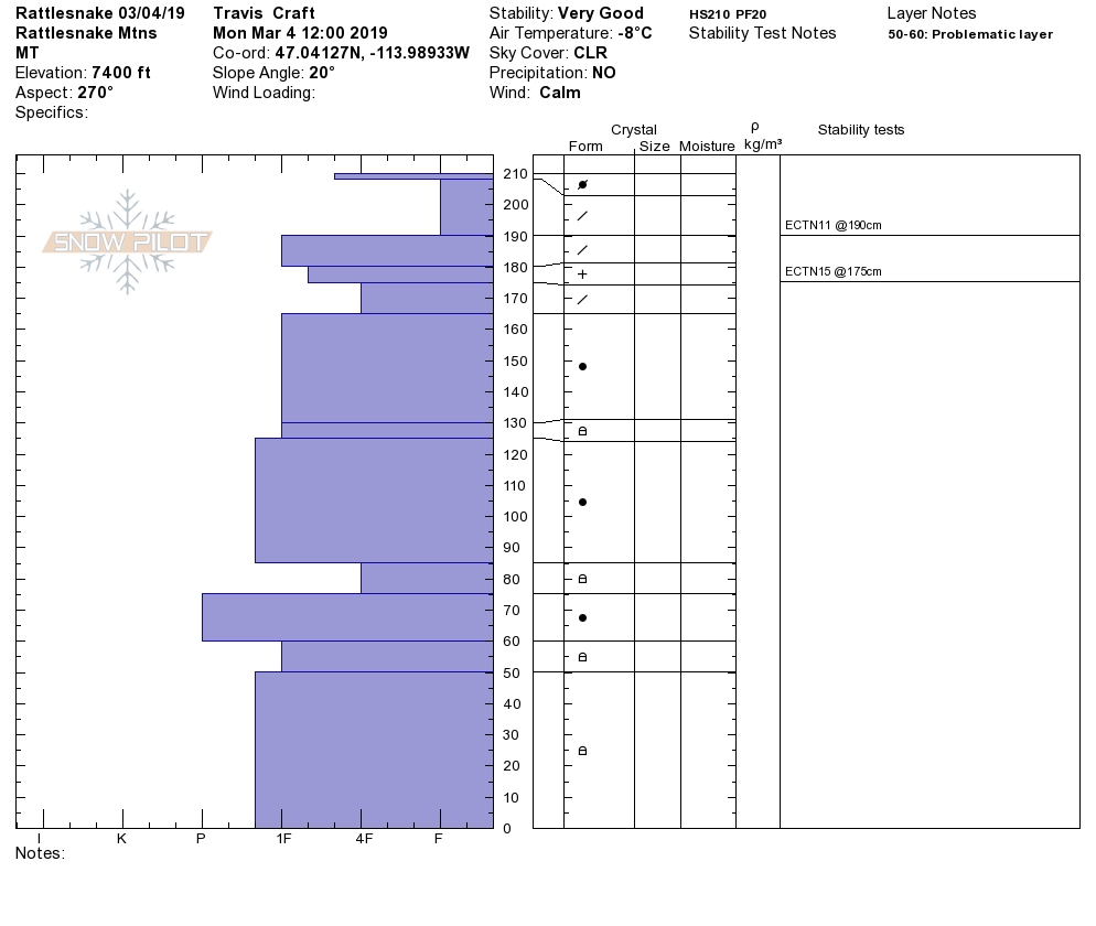
Overall our snowpack is gaining strength. We have not had any natural or skier triggered avalanches on our buried weak layers in the last week. Pit tests are not propagating on buried surface hoar or facets near the ground. Wind slabs are gaining strength and are very hard to trigger. Storm slabs are settling out and bonding. Overall the snowpack is stable.
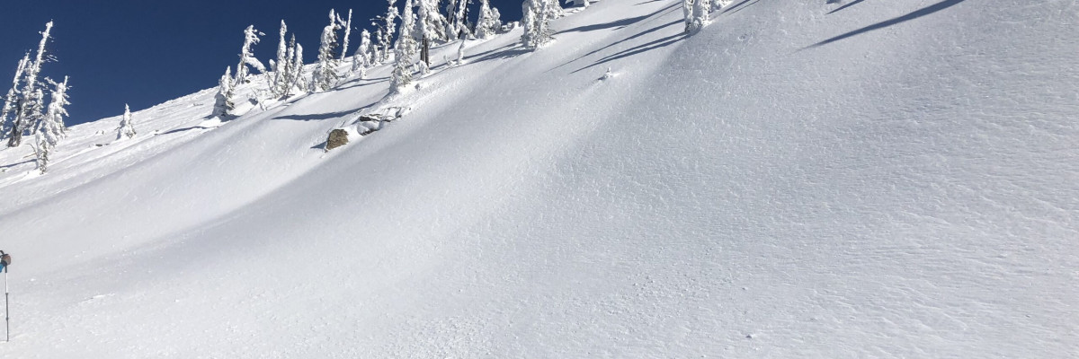
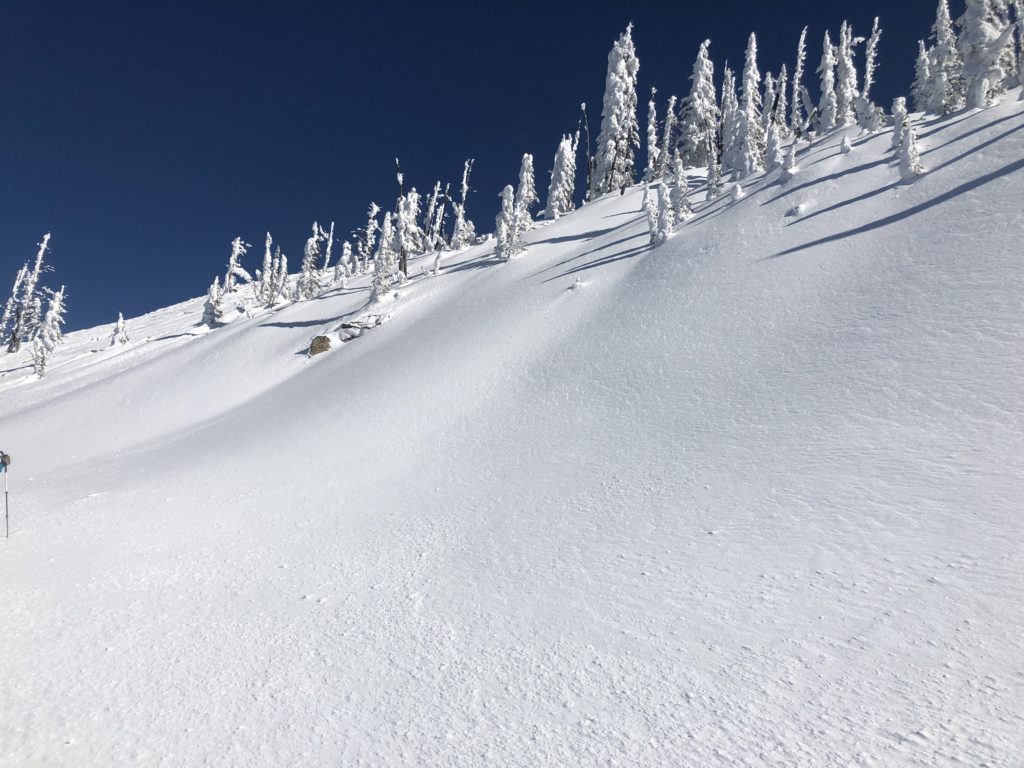
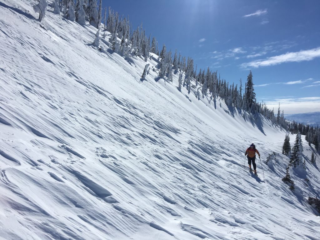
The primary avalanche problem is loose dry snow on sheltered aspects. These should not be much of a problem unless they knock you off your feet or machine and take you into a terrain trap.
Bottom line: The snowpack has gained strength. You can find places where shallow snow sits on weak facets on the ground and more likely to trigger an avalanche. Those places our at lower elevations in sheltered spots, near rock bands and cliffs. Dig a pit 4 feet deep to assess the snowpack and check for any buried weak layers. Use safe travel protocols, only one person on a slope at a time. Give cornices a wide berth; they break father back than anticipated.
The avalanche danger continues to trend downward and is rated at low. I will say it again; Low danger does not mean no danger! It is a stout low right now and avalanches are possible if you are in the wrong place at the wrong time. Carefully evaluate the likelihood and potential consequences of avalanches before committing to avalanche terrain. Don’t treat the low rating as a green light and jump straight into big terrain, start on smaller slopes with lower consequences and test the snow before going for a big line. Stay aware of changing conditions and continue to utilize safe travel protocols and don’t but lulled into complacency.
Missoula Foot Hills/Mt. Jumbo/Mt. Sentinel
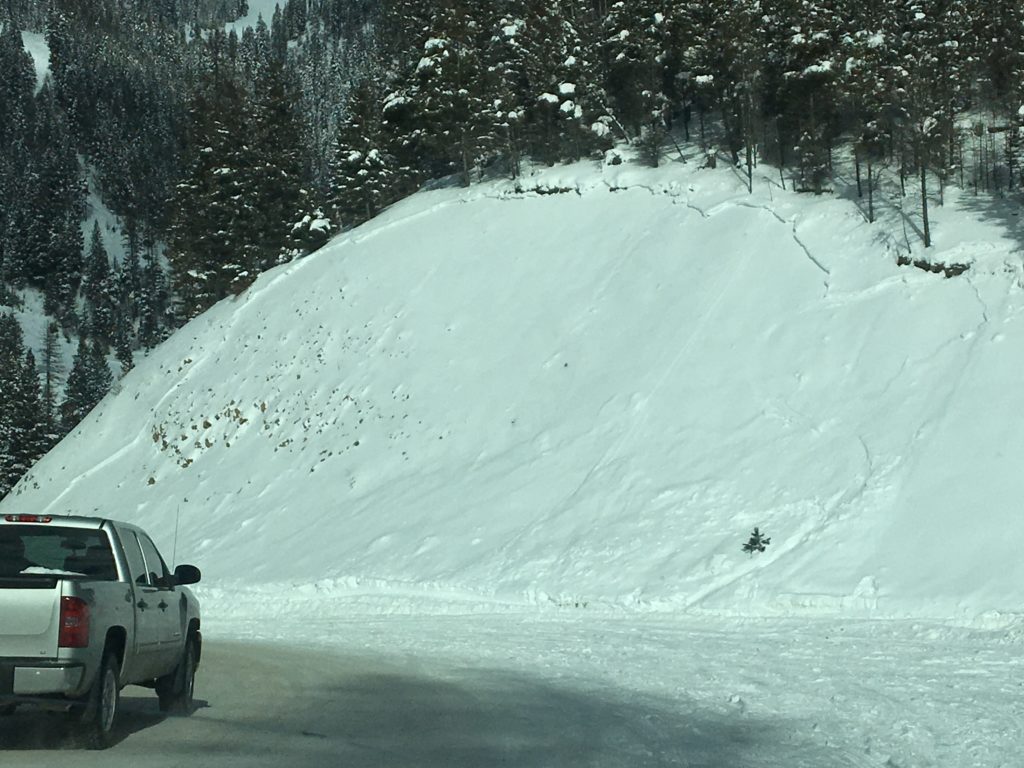
There are slopes around town people are skiing. Respect closures on Mt. Jumbo. There are unstable conditions present on certain slopes. Take extra caution to what is below you and if you were to trigger an avalanche what are the consequences.
Avalanche and Weather Outlook
Temperatures warm today and a system moves in on Wednesday with small amounts of moisture. Look for the avalanche danger to increase. See the forecast here.
As always, if you make it out, please, feel free to share, what you find on our public observations page.
Ski and ride safe.


