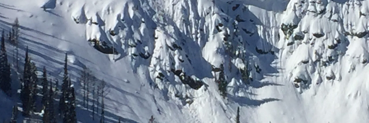
The avalanche danger is moderate for the west central Montana backcountry. It is still possible to trigger a small wind slab at lower elevations and a large wind slab at higher elevations. It is possible to trigger a very large avalanche in isolated areas in a shallow snowpack on depth hoar. Carefully evaluate terrain and the snowpack to identify locations where hazards exist.
Good morning, this is Travis Craft with the West Central Montana Avalanche Center’s avalanche advisory for March 12, 2019. This danger rating does not apply to operating ski areas, expires at midnight tonight and is the sole responsibility of the U.S. Forest Service.
Weather and Snowpack
Mountain temperatures range from 19 F to 23 F in the region. In the Bitterroot winds are 12 mph with gusts of 18 mph out of the SSE. In the northern part of the advisory area, winds are reading 11 mph with gusts of 24 mph out of the S. No new snow in the last 24 hours.
The primary avalanche problem today is wind slabs. There are small wind slabs located on leeward slopes at lower elevations(>7000 ft). On ridges and at high elevations you can find large wind slabs(Video).
There is a lot of faceted and weak snow throughout the advisory area. Most of which is unreactive except when a denser slab is overlaying the weak layer (wind slabs). However, the greatest persistent slab concern is deep persistent slabs. In isolated locations with shallow snowpacks above 6,000 feet, large-grained facets near the ground can fail ( public observation, Video, Video). The avalanches failing on depth hoar will be big and have serious consequences. This problem is not widespread and hard to pinpoint unless you dig a pit to identify how deep the snowpack is and if depth hoar is present and reactive.
Bottom line: It is still possible to trigger an avalanche today on wind loaded slopes or in places with a shallow snowpack with a weak layer. Over the weekend a small slab was skier triggered on a slope near a rock band in a shallow snowpack in the Rattlesnake(observation). Dig a pit, see how deep the snowpack is and if there are any layers of concern that are reactive in pit tests. Cornices are getting weaker, and we saw evidence of natural releases with the warmer temperatures. Pay attention to changing conditions as you switch aspects. The snowpack is variable right now.
Avalanche and Weather Outlook
Snow showers enter the region today and into Wednesday. The addition of new snow and winds will not increase the avalanche danger. See the forecast.
If you get out into the backcountry, please share your observations on our public observation page.
Ski and ride safe.


