
The avalanche danger is MODERATE for the West Central Montana backcountry. It is possible to trigger a slide on persistent weak layers in our snowpack. Look for wet loose activity to increase throughout the day on sun-exposed slopes. Carefully evaluate terrain and the snowpack to identify locations where hazards exist.
Good morning, this is Travis Craft with the West Central Montana Avalanche Center’s avalanche advisory for March 14, 2019. This danger rating does not apply to operating ski areas, expires at midnight tonight and is the sole responsibility of the U.S. Forest Service.
Weather and Snowpack
Mountain temperatures range from 13 F to 20 F in the region. In the Bitterroot winds are 8 mph with gusts of 13 mph out of the W. In the northern part of the advisory area, winds are reading 7 mph with gusts of 9 mph out of the SW. The advisory area received 2-8 new inches of snow in the last 24 hours.
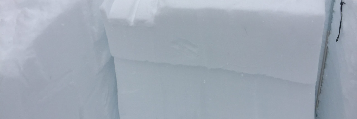
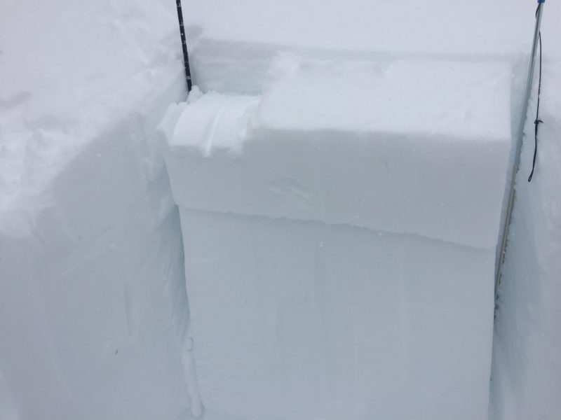
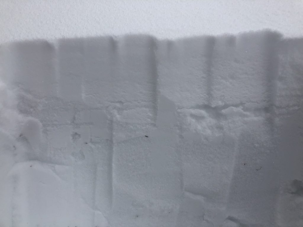
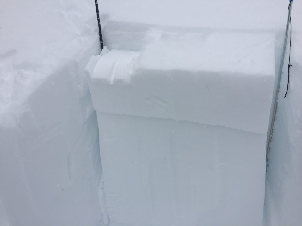
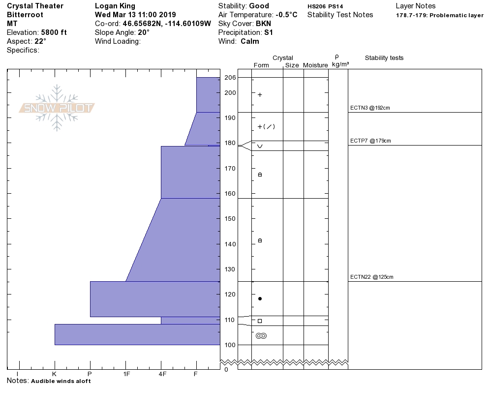
The primary avalanche problem is persistent weak layers. On shaded and protected slopes the new snow buried surface hoar. The buried surface hoar is very sensitive to triggers (video). This layer is hard to find and the only way to find it is to dig in the snow and see if it is there. Look for this layer on relatively cold and sheltered aspects. In isolated locations with shallow snowpacks above 6,000 feet, large-grained facets near the ground can fail (public observation, Video, Video). The avalanches failing on depth hoar will be big and have serious consequences.
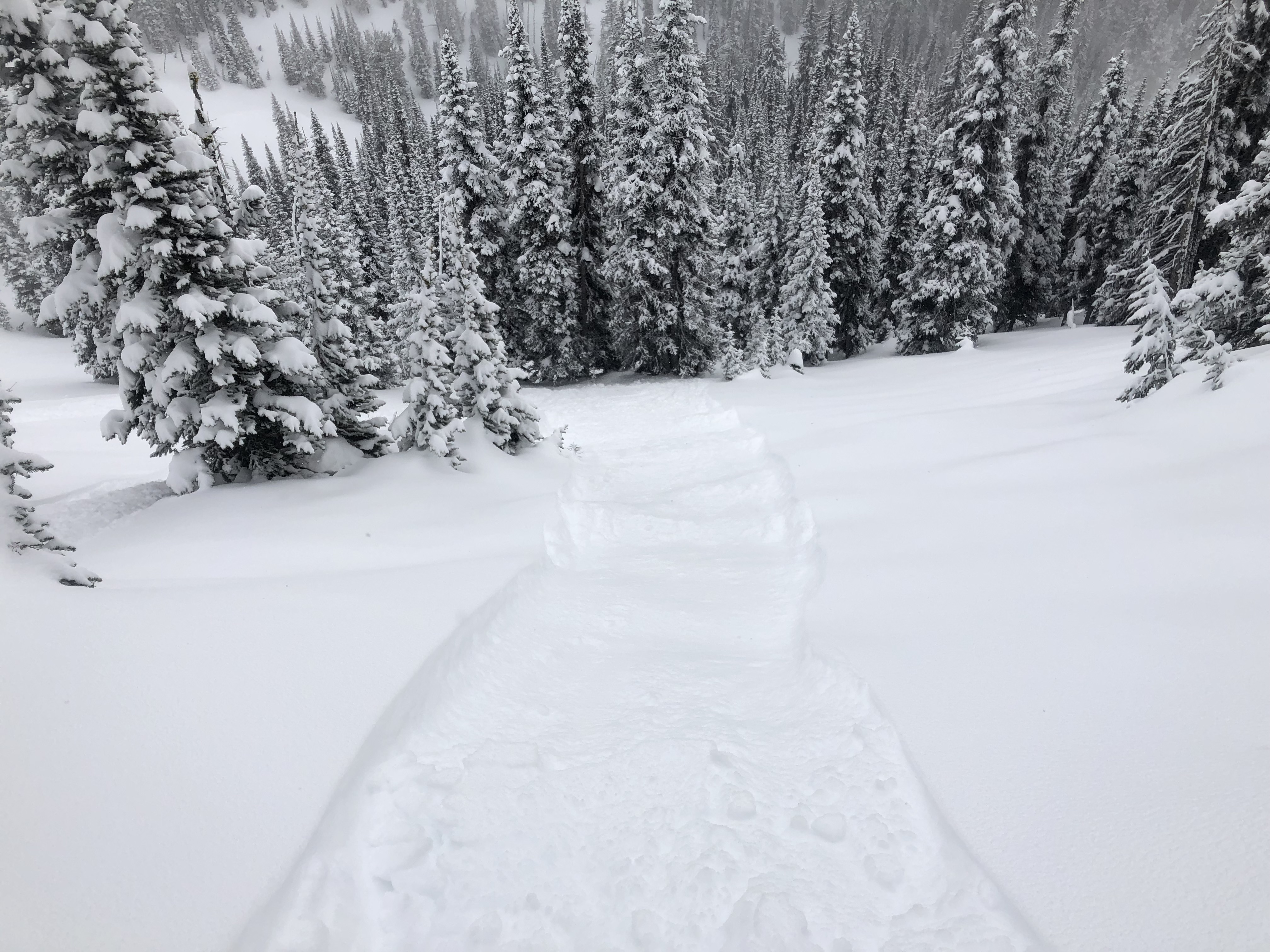
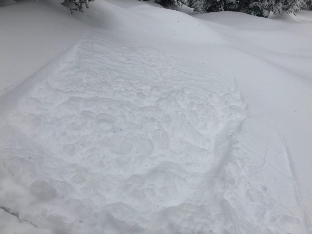
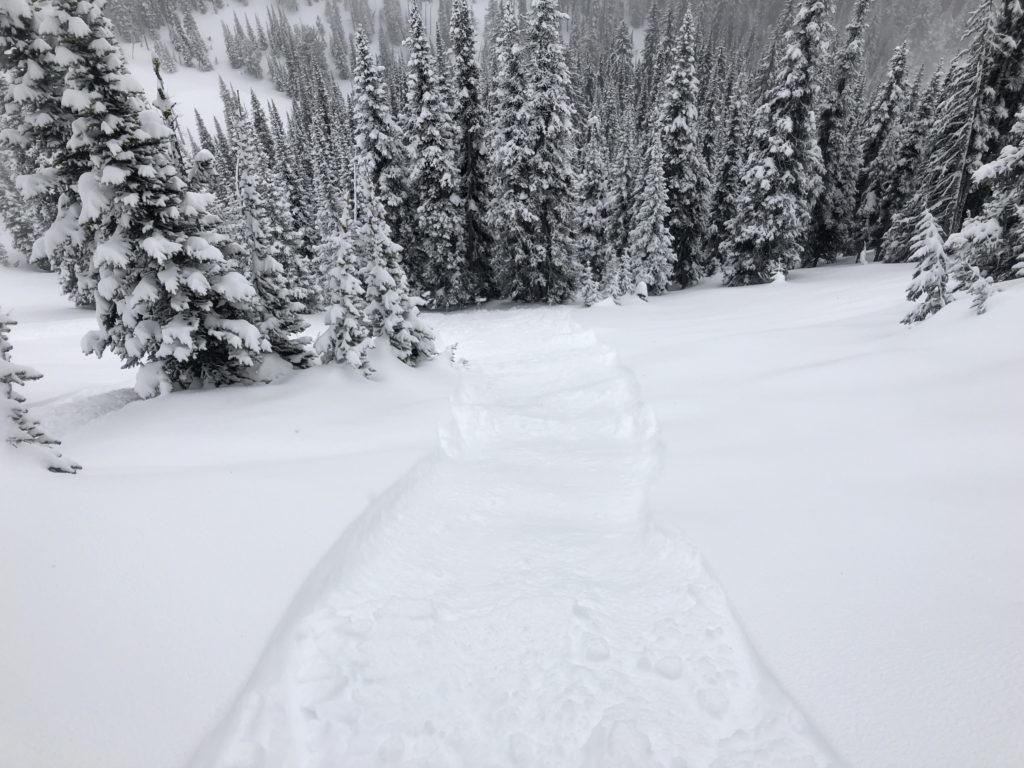
The second avalanche problem is loose dry on sheltered aspects and loose wet on solar aspects. Loose dry avalanches were very easy to trigger yesterday on slopes that had melt-freeze crusts. Regions within the advisory area that received 8 inches of snow, southern Bitterroot and Rattlesnake, observed loose dry avalanches large enough to knock you off of your skis or machine (picture). Today as temperatures rise and the sun comes out look for loose wet activity to increase on sun-exposed slopes.
Bottom line: Use small test slopes to see how the new snow bonded to old snow surfaces. Dig a pit to check for any buried surface hoar on sheltered aspects. Use probe and ski pole tests for checking for shallow snowpacks that harbor weak snow near the ground. Look for roller ball activity on solar aspects and change aspects to colder ones as the snow surface gets saturated.
Avalanche and Weather Outlook
We are entering a period of warming. Look for possible snow showers on Sunday but by next week look for high and dry conditions. See the forecast. This weather should not increase the avalanche danger.
If you get out into the backcountry, please share your observations on our public observation page.
Ski and ride safe.


