Posted:
Mar 16, 2019 @ 6:31 am

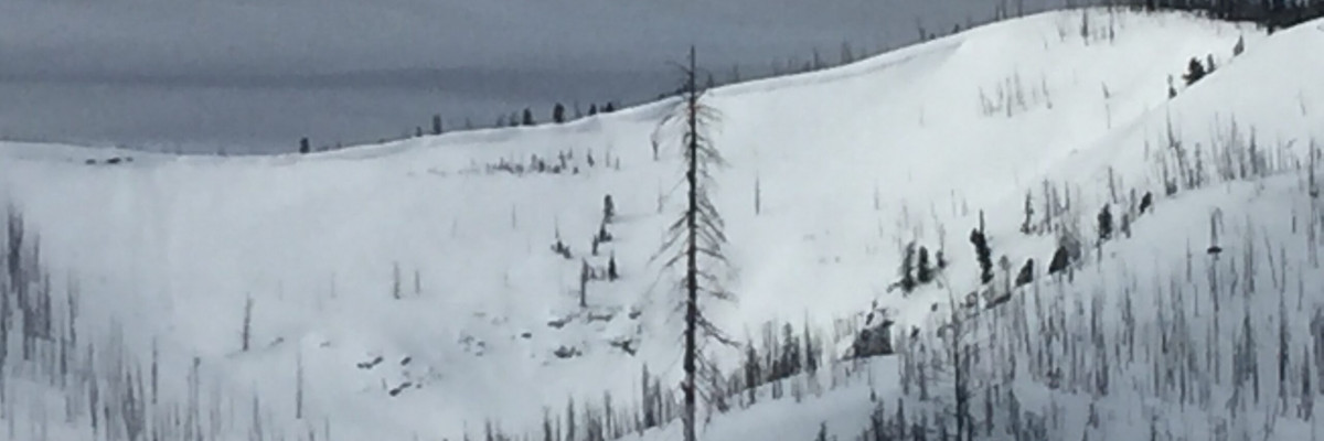
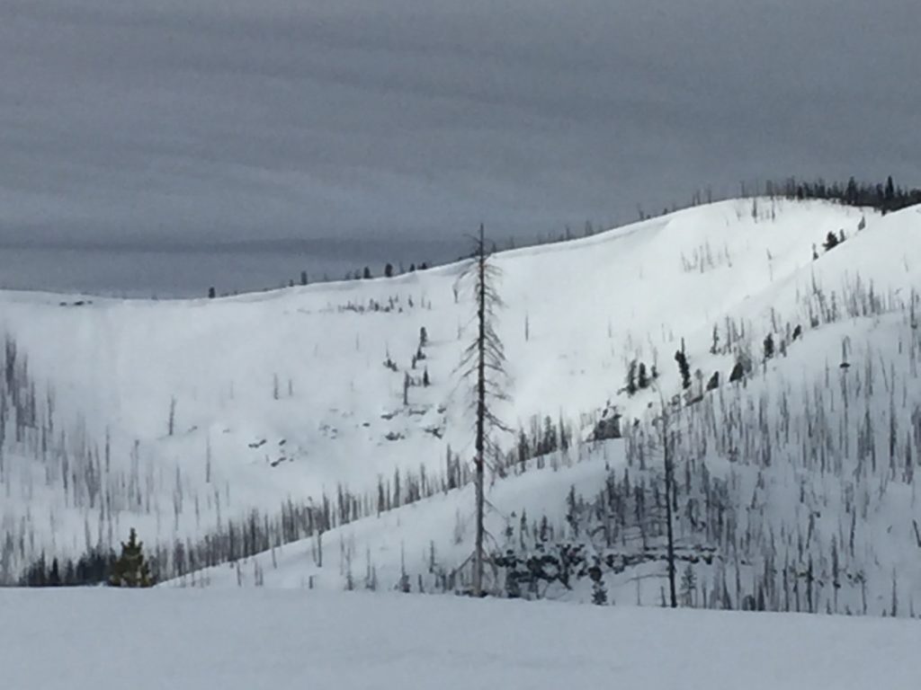
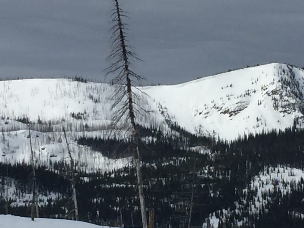
The avalanche danger is MODERATE for the West Central Montana backcountry. It is possible to trigger a slide on persistent weak layers in our snowpack. Look for wet loose activity to increase throughout the day on sun-exposed slopes. Identify wind drifted terrain. Carefully evaluate terrain and the snowpack to identify locations where hazards exist.

Good morning, this is Travis Craft with the West Central Montana Avalanche Center’s avalanche advisory for March 16, 2019. This danger rating does not apply to operating ski areas, expires at midnight tonight and is the sole responsibility of the U.S. Forest Service.

Weather and Snowpack

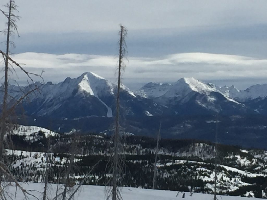
Mountain temperatures range from 19 F to 21 F in the region. In the Bitterroot winds are 5 mph with gusts of 7 mph out of the S.  In the northern part of the advisory area, winds are calm.

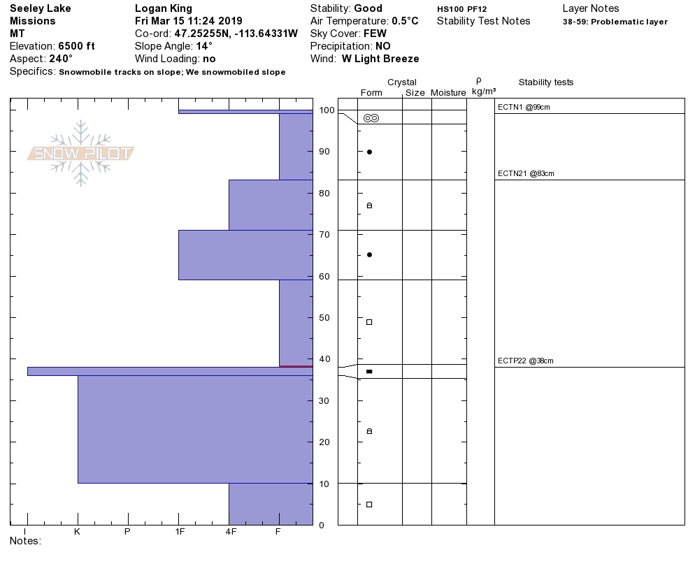
The primary avalanche problem is persistent weak layers. In isolated shallow snowpacks, we are still getting facets near the ground to propagate(video). In isolated sheltered and protected slopes look for buried surface hoar (video). Dig a pit to see if these layers are present and reactive.

The second is avalanche problem is loose wet on sun-exposed slopes and dry loose on north facing cold slopes. Today as temperatures rise and the sun comes out look for loose wet activity to increase on sun-exposed slopes. These two problems should not be a problem unless they knock you off your skis or machine and take you into a terrain trap. Look for roller ball activity on solar aspects and change aspects to colder ones as the snow surface gets saturated.

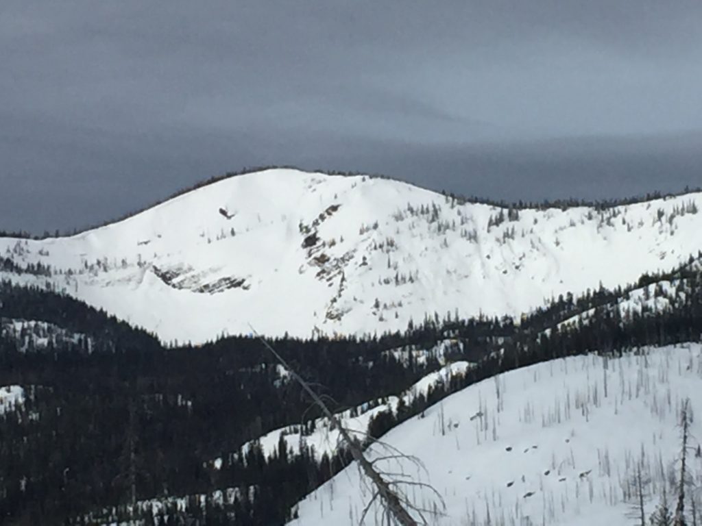
The third avalanche problem is small isolated wind slabs. There are small wind slabs on isolated slopes in the central and southern Bitterroot. Look for wind slabs at higher elevations. These formed from a wind event on March 14. Look for evidence of wind transport and identify slopes with wind slabs.

Bottom line: The snowpack is gaining strength. There are still avalanche concerns. Dig a pit before committing to avalanche terrain. Look for signs of wind loading. Change aspects when roller balls show up to a colder aspect. Avoid shallow snowpacks near rock bands and cliffs.

Avalanche and Weather Outlook

Today look for wet loose avalanches to increase throughout the day. Sunday look for cloud cover and freezing temperatures overnight. The avalanche danger will slowly decrease as our snowpack gains more strength. Look for loose wet activity in the afternoons. See the forecast.

If you get out into the backcountry, please share your observations on our public observation page.

Ski and ride safe.

READ FULL ADVISORY  

Problem 1 - Persistent Slabs

  • TYPE

    persistent-slabs

    Persistent Slabs

    Release of a cohesive layer of soft to hard snow (a slab) in the middle to upper snowpack, when the bond to an underlying persistent weak layer breaks.  Persistent layers include: surface hoar, depth hoar, near-surface facets, or faceted snow. Persistent weak layers can continue to produce avalanches for days, weeks or even months, making them especially dangerous and tricky. As additional snow and wind events build a thicker slab on top of the persistent weak layer, this avalanche problem may develop into a Persistent, Deep-Slab.

  • SIZE

    4-5

    2 (Large)

    The potential size of avalanche resulting from this problem.

  • LIKELIHOOD

    Likelihood-2

    Unlikely/Possible

    The likelihood of an avalanche resulting from this problem.

In isolated shallow snowpacks we are still getting facets near the ground to propagate(video). In isolated sheltered and protected slopes look for buried surface hoar (video). Dig a pit to see if these layers are present and reactive.

Problem 2 - Loose Wet and Dry

  • TYPE

    loose-wet

    Loose Wet

    Release of wet unconsolidated snow or slush. These avalanches typically occur within layers of wet snow near the surface of the snowpack, but they may quickly gouge into lower snowpack layers. Like Loose-Dry Avalanches,they start at a point and entrain snow as they move downhill, forming a fan-shaped avalanche. They generally move slowly, but can contain enough mass to cause significant damage to trees, cars or buildings. Other names for loose-wet avalanches include point-release avalanches or sluffs. Loose-wet avalanches can trigger slab avalanches that break into deeper snow layers.

  • SIZE

    3-4

    1-2 (Small-Large)

    The potential size of avalanche resulting from this problem.

  • LIKELIHOOD

    Likelihood-3

    Possible

    The likelihood of an avalanche resulting from this problem.

The second is loose wet on sun exposed slopes and dry loose on north facing cold slopes. Today as temperatures rise and the sun comes out look for loose wet activity to increase on sun-exposed slopes. These two problems should not be a problem unless they knock you off your skis or machine and take you into a terrain trap. Look for roller ball activity on solar aspects and change aspects to colder ones as the snow surface gets saturated.

Problem 3 - Wind Slabs

  • TYPE

    wind-slabs

    Wind Slabs

    Release of a cohesive layer of snow (a slab) formed by the wind.  Wind typically erodes snow from the upwind sides of terrain features and deposits snow on the downwind side.  Wind slabs are often smooth and rounded and sometimes sound hollow, and can range from soft to hard. Wind slabs that form over a persistent weak layer (surface hoar, depth hoar, or near-surface facets) may be termed Persistent Slabs or may develop into Persistent Slabs.

  • SIZE

    3-4

    1-2 (Small-Large)

    The potential size of avalanche resulting from this problem.

  • LIKELIHOOD

    Likelihood-3

    Possible

    The likelihood of an avalanche resulting from this problem.

There are small wind slabs on isolated slopes in the central and southern Bitterroot. Look for wind slabs at higher elevations. These formed from a wind event on March 14. Look for evidence of wind transport and identify slopes with wind slabs.

VIDEO

Observations

Observations

FORECAST & OUTLOOK

Today look for wet loose avalanches to increase throughout the day. Sunday look for cloud cover and freezing temperatures overnight. The avalanche danger will slowly decrease as our snowpack gains more strength. Look for loose wet activity in the afternoons. See the forecast.


This information is the sole responsibility of the Forest Service and does not apply to operating ski areas. The avalanche danger rating expires at midnight tonight but the information can help you make a more informed decision regarding travel in avalanche terrain for the next few days.

Our advisory area includes National Forest System lands in the Bitterroot Mountains from Lost Trail Pass north to Granite Pass, the Rattlesnake Mountains north of Missoula and the Southern Swan and Mission Mountains near Seeley Lake, MT. Avalanche information for the Lookout Pass/St. Regis Basin area is available from the Idaho Panhandle Avalanche Center.