Posted:
Mar 26, 2019 @ 6:24 am

The avalanche danger in the west central Montana backcountry is Low this morning. Rain to 6000 feet will increase the avalanche danger to Moderate. Pay attention to changing weather conditions which will increase the avalanche danger today.

Good morning, this is Travis Craft with the West Central Montana Avalanche Center’s avalanche advisory for March 26, 2019. This danger rating does not apply to operating ski areas, expires at midnight tonight and is the sole responsibility of the U.S. Forest Service.

Weather and Snowpack

Mountain temperatures range from 28 F to 38 F in the region. Most snotel sites froze overnight except in the Rattlesnake. In the Bitterroot winds are 15 mph with gusts of 24 mph out of the SE.  In the northern part of the advisory area, winds are 5 mph with gusts of 16 mph out of the SSE. A cold front is making its way into the area today with a rain line of 5500 feet to 6000 feet.

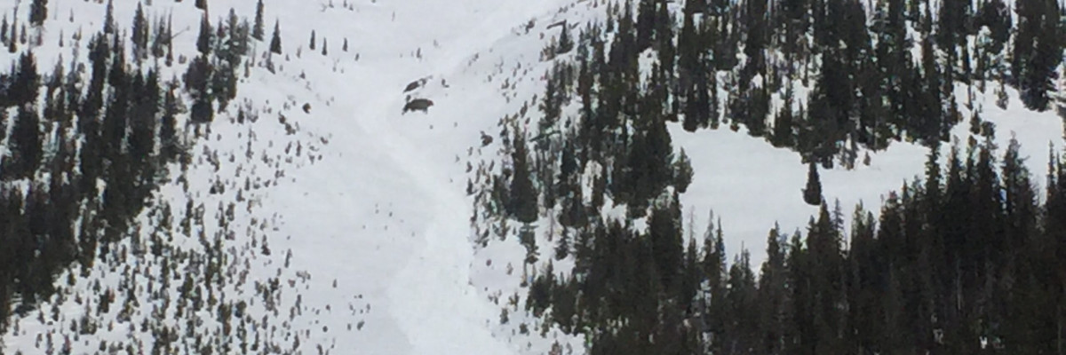
The primary avalanche problem is wet snow. At elevations,  7000 feet and below look for increased wet loose avalanche problems throughout the day. As the snow becomes saturated look for potential for wet slab avalanche problems. Wet slabs avalanches are a result of the snowpack becoming saturated and losing strength. Wet slabs are notoriously difficult to predict and have the potential to take the entire season snowpack out in a single slide. This is a particularly dangerous combination so if the snow surface is wet and heavy or the snow has become saturated with rain it is time to head home.

Bottom line: The avalanche danger will increase today with rain on snow to 6500 feet. The upper elevations will experience new loading events and potentially could reactivate weak layers in the snowpack. Look for changes in the avalanche danger with changing weather conditions.

Avalanche and Weather Outlook

The avalanche danger will increase throughout the day today. The cold front will decrease the rain line to 4000 feet overnight. Wednesday look for additional loading from snow which will keep the avalanche danger at moderate.  See the forecast.

If you get out into the backcountry, please share your observations on our public observation page.

Ski and ride safe.


READ FULL ADVISORY  

Problem 1 - Wet Snow

  • TYPE

    loose-wet

    Loose Wet

    Release of wet unconsolidated snow or slush. These avalanches typically occur within layers of wet snow near the surface of the snowpack, but they may quickly gouge into lower snowpack layers. Like Loose-Dry Avalanches,they start at a point and entrain snow as they move downhill, forming a fan-shaped avalanche. They generally move slowly, but can contain enough mass to cause significant damage to trees, cars or buildings. Other names for loose-wet avalanches include point-release avalanches or sluffs. Loose-wet avalanches can trigger slab avalanches that break into deeper snow layers.

  • SIZE

    3-4

    1-2 (Small-Large)

    The potential size of avalanche resulting from this problem.

  • LIKELIHOOD

    Likelihood-3

    Possible

    The likelihood of an avalanche resulting from this problem.

Look for loose wet avalanche danger to increase throughout the day from rain lines trending from 6000 feet and below.

Problem 2 - Wet Snow

  • TYPE

    wet-slabs

    Wet Slabs

    Release of a cohesive layer of snow (a slab) that is generally moist or wet when the flow of liquid water weakens the bond between the slab and the surface below (snow or ground). They often occur during prolonged warming events and/or rain-on-snow events. Wet slabs can be very destructive.

  • SIZE

    5-6

    2-3 (Large)

    The potential size of avalanche resulting from this problem.

  • LIKELIHOOD

    Likelihood-2

    Unlikely/Possible

    The likelihood of an avalanche resulting from this problem.

Rain will increase the likelihood of wet slab potential later in the day. Once the snowpack is saturated it is time to head home.

FORECAST & OUTLOOK

  • Danger Trend

    increasing

    Increasing Danger

  • Area Forecast

    Rain

The avalanche danger will increase throughout the day today. The cold front will decrease the rain line to 4000 feet overnight. Wednesday look for additional loading from snow which will keep the avalanche danger at moderate.  See the forecast.


This information is the sole responsibility of the Forest Service and does not apply to operating ski areas. The avalanche danger rating expires at midnight tonight but the information can help you make a more informed decision regarding travel in avalanche terrain for the next few days.

Our advisory area includes National Forest System lands in the Bitterroot Mountains from Lost Trail Pass north to Granite Pass, the Rattlesnake Mountains north of Missoula and the Southern Swan and Mission Mountains near Seeley Lake, MT. Avalanche information for the Lookout Pass/St. Regis Basin area is available from the Idaho Panhandle Avalanche Center.