Posted:
Mar 28, 2019 @ 6:26 am

The avalanche danger in the west central Montana backcountry is moderate.Wind slabs will be easy to trigger today on leeward slopes. Identify wind loaded terrain and avoid traveling on those slopes.

Good morning, this is Travis Craft with the West Central Montana Avalanche Center’s avalanche advisory for March 28, 2019. This danger rating does not apply to operating ski areas, expires at midnight tonight and is the sole responsibility of the U.S. Forest Service.

Weather and Snowpack

Mountain temperatures range from 28 F to 30 F in the region. In the Bitterroot winds are 2 mph with gusts of 13 mph out of the E.  In the northern part of the advisory area, winds are 5 mph with gusts of 16 mph out of the ENE. Look for winds to increase throughout the day. Snotels reported .3 to .5 inches of SWE in the last 24 hours. Continued snow is forecasted for today. Snow line is between 4000 feet and 5000 feet.

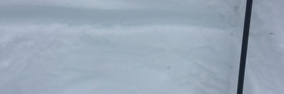
The primary avalanche problem is wind slabs. The cold temperatures have locked the springtime snowpack back up creating a slick sliding surface that small to large wind slabs are being deposited on(video). Wind slabs will be sensitive to human triggers today and have high energy. Identify leeward terrain and avoid traveling on these slopes. Shooting cracks from skis or machines will help to identify this problem. Look for scoured slopes to help identify leeward terrain.

The second avalanche problem is loose dry avalanches. Look for small loose avalanches today. These sluffs will be small and should not be a problem unless they carry you into a terrain trap. Use small test slopes to see how the new snow is bonding to old snow surfaces.

Bottom line: Today look for changing weather conditions that will lead to changing avalanche conditions. Wind slabs on leeward terrain will be high energy and easy to trigger. Avoid wind loaded terrain. Sluffs will be easy to trigger on the slick sliding surfaces of old snow.

Avalanche and Weather Outlook

More snow and strong wind gusts will keep the avalanche danger at moderate today. See the forecast.

If you get out into the backcountry, please share your observations on our public observation page.

Ski and ride safe.

READ FULL ADVISORY  

Problem 1 - Wind Slabs

  • TYPE

    wind-slabs

    Wind Slabs

    Release of a cohesive layer of snow (a slab) formed by the wind.  Wind typically erodes snow from the upwind sides of terrain features and deposits snow on the downwind side.  Wind slabs are often smooth and rounded and sometimes sound hollow, and can range from soft to hard. Wind slabs that form over a persistent weak layer (surface hoar, depth hoar, or near-surface facets) may be termed Persistent Slabs or may develop into Persistent Slabs.

  • SIZE

    3-4

    1-2 (Small-Large)

    The potential size of avalanche resulting from this problem.

  • LIKELIHOOD

    Likelihood-3

    Possible

    The likelihood of an avalanche resulting from this problem.

The cold temperatures have locked the spring time snowpack back up creating a slick sliding surface that small to large wind slabs are being deposited on(video). Wind slabs will be sensitive to human triggers today and have high energy. Identify leeward terrain and avoid traveling on these slopes.


Problem 2 - Loose Dry

  • TYPE

    loose-dry

    Loose Dry

    Release of wet unconsolidated snow or slush. These avalanches typically occur within layers of wet snow near the surface of the snowpack, but they may quickly gouge into lower snowpack layers. Like Loose-Dry Avalanches,they start at a point and entrain snow as they move downhill, forming a fan-shaped avalanche. They generally move slowly, but can contain enough mass to cause significant damage to trees, cars or buildings. Other names for loose-wet avalanches include point-release avalanches or sluffs. Loose-wet avalanches can trigger slab avalanches that break into deeper snow layers.

  • SIZE

    3-4

    1-2 (Small-Large)

    The potential size of avalanche resulting from this problem.

  • LIKELIHOOD

    Likelihood-3

    Possible

    The likelihood of an avalanche resulting from this problem.

Look for small loose avalanches today. These sluffs will be small and should not be a problem unless they carry you into a terrain trap.


VIDEO

Observations

FORECAST & OUTLOOK

More snow and strong wind gusts will keep the avalanche danger at moderate today. See the forecast.


This information is the sole responsibility of the Forest Service and does not apply to operating ski areas. The avalanche danger rating expires at midnight tonight but the information can help you make a more informed decision regarding travel in avalanche terrain for the next few days.

Our advisory area includes National Forest System lands in the Bitterroot Mountains from Lost Trail Pass north to Granite Pass, the Rattlesnake Mountains north of Missoula and the Southern Swan and Mission Mountains near Seeley Lake, MT. Avalanche information for the Lookout Pass/St. Regis Basin area is available from the Idaho Panhandle Avalanche Center.