
The avalanche danger is low in the west central Montana backcountry this morning. Look for the danger to rise to moderate in the afternoon. Look for loose wet avalanches to increase throughout the day on sun-exposed slopes. Look for small isolated wind slabs on leeward slopes at elevations above 7000 feet near ridge lines on cold, dry North facing slopes.
Good morning, this is Travis Craft with the West Central Montana Avalanche Center’s avalanche advisory for March 30, 2019. This danger rating does not apply to operating ski areas, expires at midnight tonight and is the sole responsibility of the U.S. Forest Service.
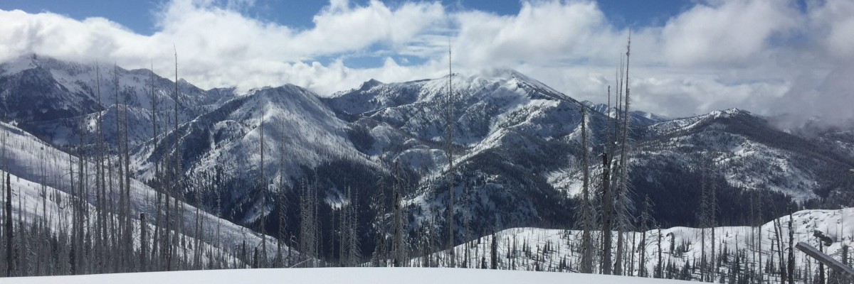
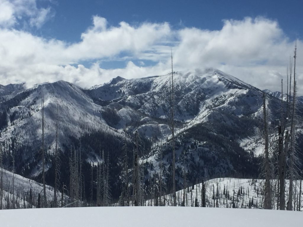
Weather and Snowpack
Mountain temperatures range from 17 F to 28 F in the region. In the Bitterroot winds are 2 mph with gusts of 5 mph out of the SSW. In the northern part of the advisory area, winds are 4 mph with gusts of 6 mph out of the NE.
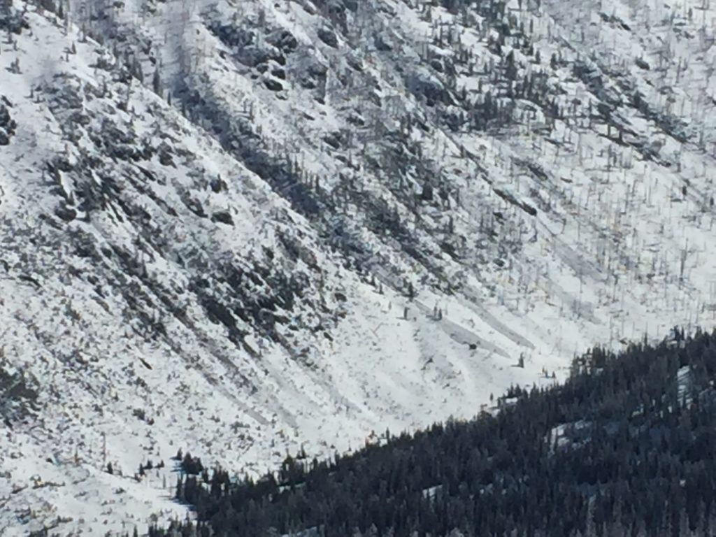
The primary avalanche problem is loose wet avalanches. Loose wet avalanches will become more and more likely throughout the day. Look for roller balls ,and that is the queue to head to shadier and less sun-exposed slopes. Loose wet slides are primarily small but can be hazardous if terrain traps are present. Warm temperatures are also resulting in cornices loosing strength and the formation of glide cracks. Give both a wide berth because they can be unpredictable and present another complex and hard to predict hazard.
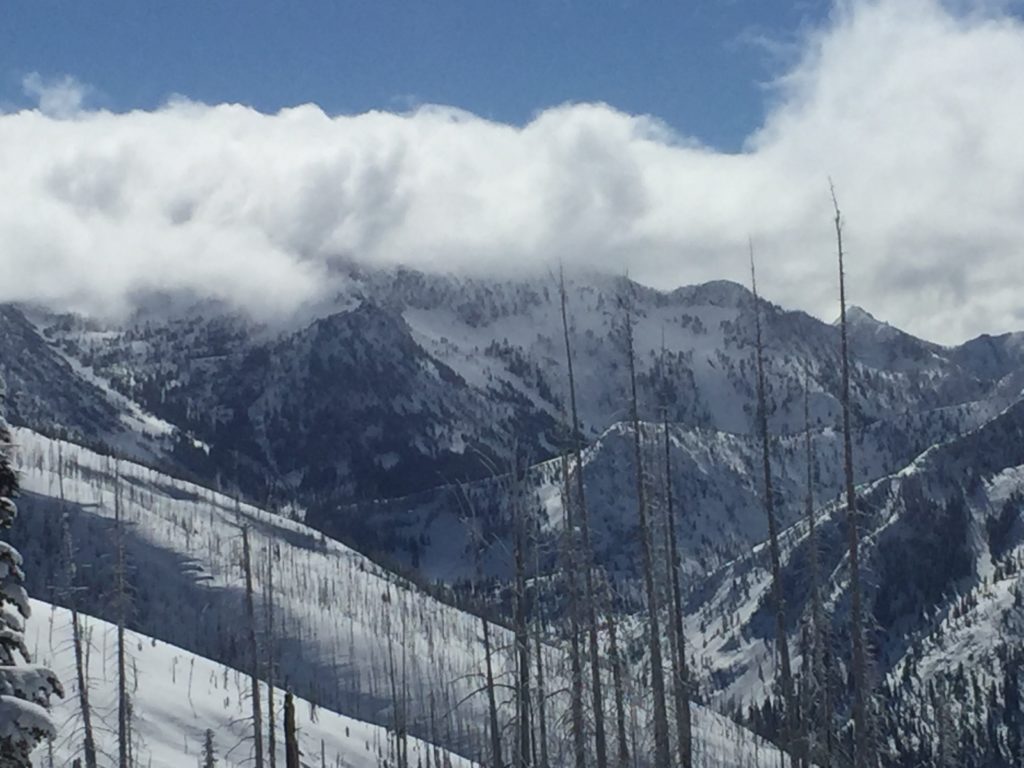
The second avalanche problem is wind slabs at elevations above 7000 feet on cold, dry north facing slopes. Look for wind slabs on isolated leeward slopes near ridges. These slabs will be small but will be sensitive to triggers.
Bottom line: The snowpack is refreezing overnight. This is creating a typical spring snowpack where timing is critical to avoid loose wet activity in the afternoon. Look for roller balls to give you the heads up that it is time to move to shadier aspects. North facing slopes have cold, dry snow which is relatively stable right now and producing good riding. Dig a pit on these slopes before committing to a big line.
Avalanche and Weather Outlook
We have a generally stable snowpack. Look for the avalanche danger to rise and increase loose wet activity on the southern half of the compass throughout the day. Once roller balls show up move to more shaded and drier slopes. Through the weekend look for the snowpack to refreeze at night and then loose wet activity to increase as the sun comes out and warms the snow surface. See the forecast. Expect the avalanche danger to be Low in the morning and then rise to Moderate in the afternoon.
If you get out into the backcountry, please share your observations on our public observation page.
Ski and ride safe.


